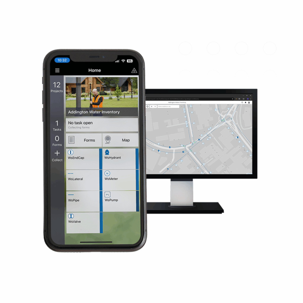
A flexible and configurable cloud-based solution for field data collection and real-time updating of geospatial information.
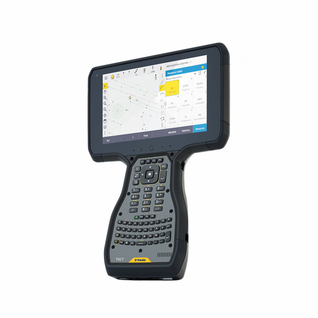
Leading field software used by professional surveyors around the world.
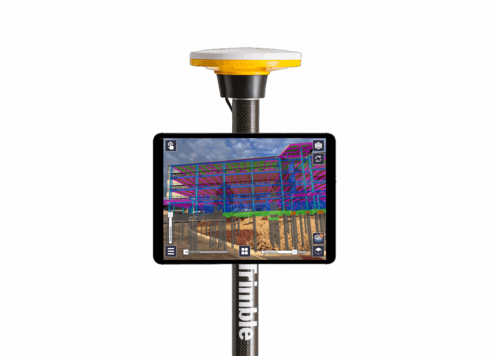
Visualise your 3D models accurately against the real world with Trimble SiteVision field software.
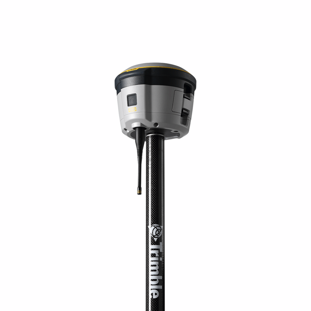
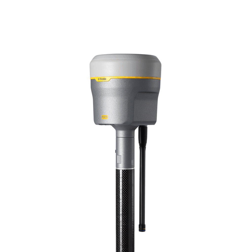
A compact, rugged GNSS receiver bringing you access to fast, reliable positioning even in tough GNSS conditions such as under tree canopy and near buildings. The Trimble R580 comes with RTX Centerpoint included for one year.
Unparalleled performance in tough GNSS conditions, robust tilt compensation and seamless workflows.
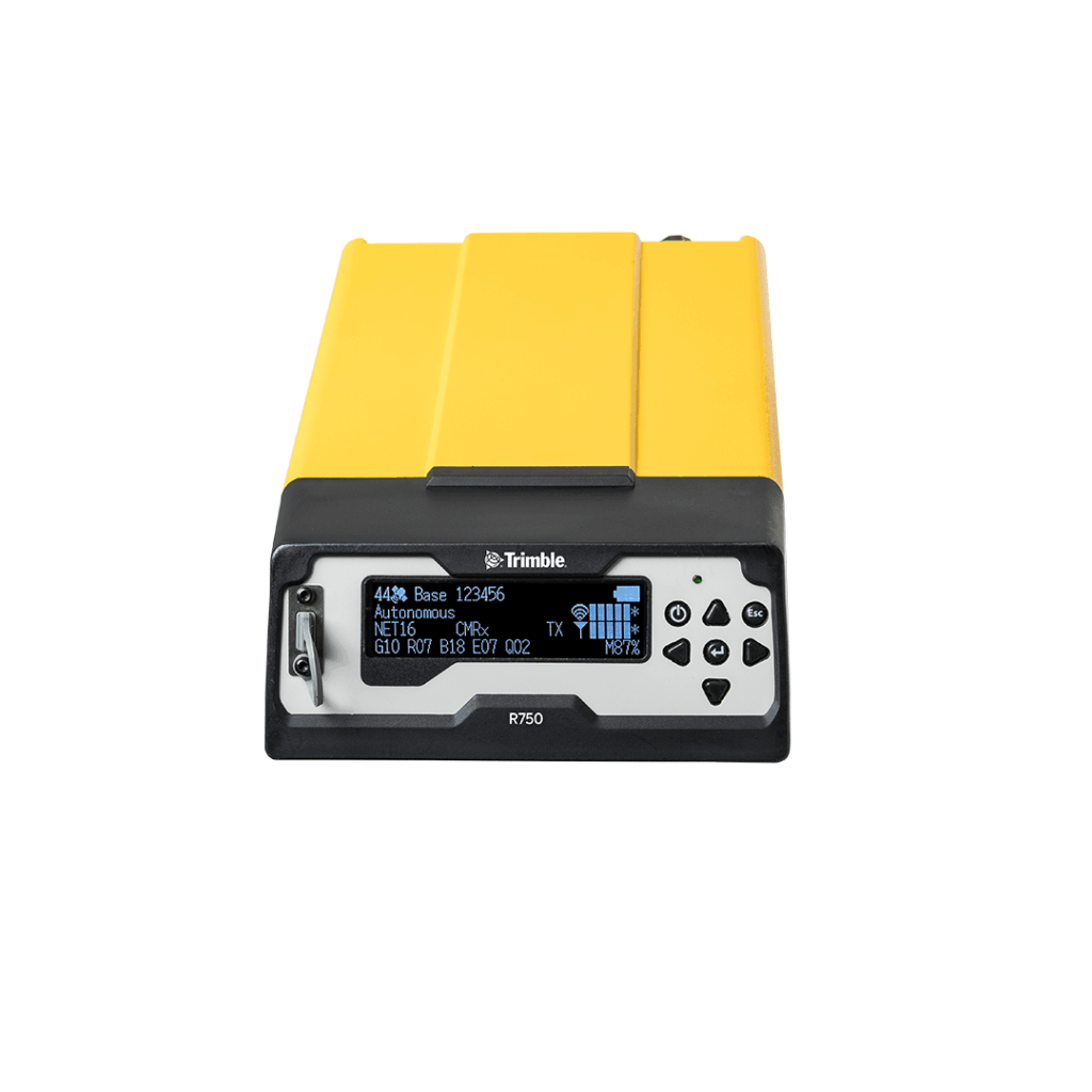
The R750 Model 2 is an easy-to-use base station solution that works efficiently and accurately, even in tough conditions
A revolutionary, GNSS concept delivering positioning as a service to mobile devices – an excellent choice for those requiring occasional centimetre positions to support their main business activity.
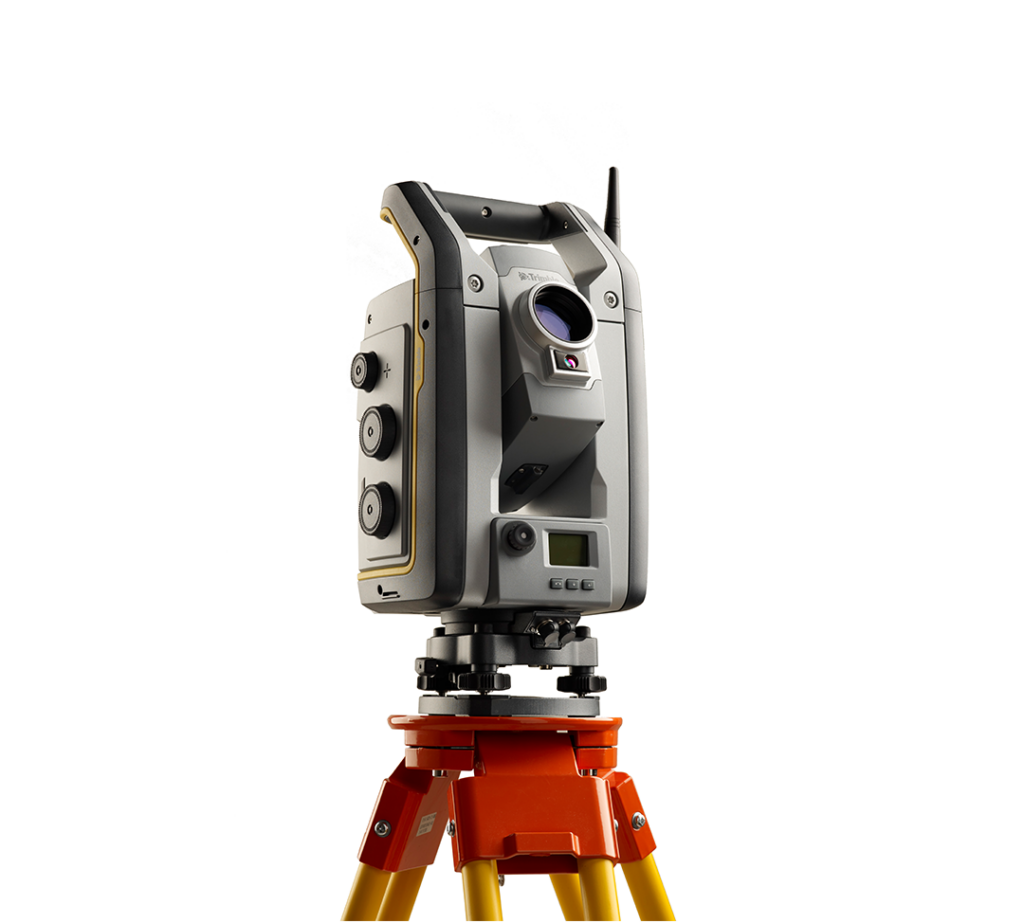
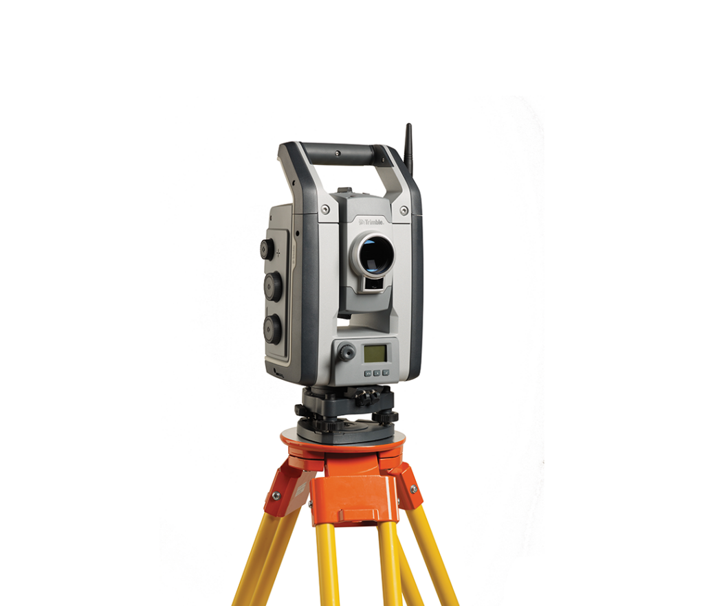
A total station designed to make your job easier, day after day, project after project.
Combining scanning, imaging and surveying into one powerful solution.
A high performance system built for the most demanding jobs.
Suited for applications demanding ultra-high precision, including structural monitoring, tunnelling, mining, and rail projects.