About
Training
Education
Events
Latest
Careers
Contact
Shop
Industries
Products
Hire
Workshop
Training & Support
Professional Services
About
Training
Education
Events
Latest
Careers
Contact
0
Shop
Used & Refurbished Kit
Shop for Accessories
Trimble Catalyst Webshop
Book Training Courses
Industries
Surveying
Construction
Mapping & GIS
Rail
Monitoring
Utilities
Highways
Forensics
Products
GNSS Systems
Total Stations
Laser Scanning
Data Collectors
Mobile Mapping
Monitoring
Rail
Digital Levels
Drone & UAV Systems
Software
Detection Tools
Shop Used & Refurbished Kit
Shop Accessories
Hire
Products
Hire Information
Workshop
Equipment Service
Equipment Repair
Equipment Calibration
Care Packages
Training & Support
Knowledge Base
Raise a Support Ticket
Guides
Training Courses
Why choose Trimble?
Professional Services
Mobile Mapping
Data Preparation
Consultancy
LOGIN
Save my name, email, and website in this browser.
login
Need an account?
Sign up
Forgot Password?
Reset Here
SIGN UP
Save my name, email, and website in this browser.
signup
Already have an account?
Log in
PRODUCTS
>
GNSS Systems
>
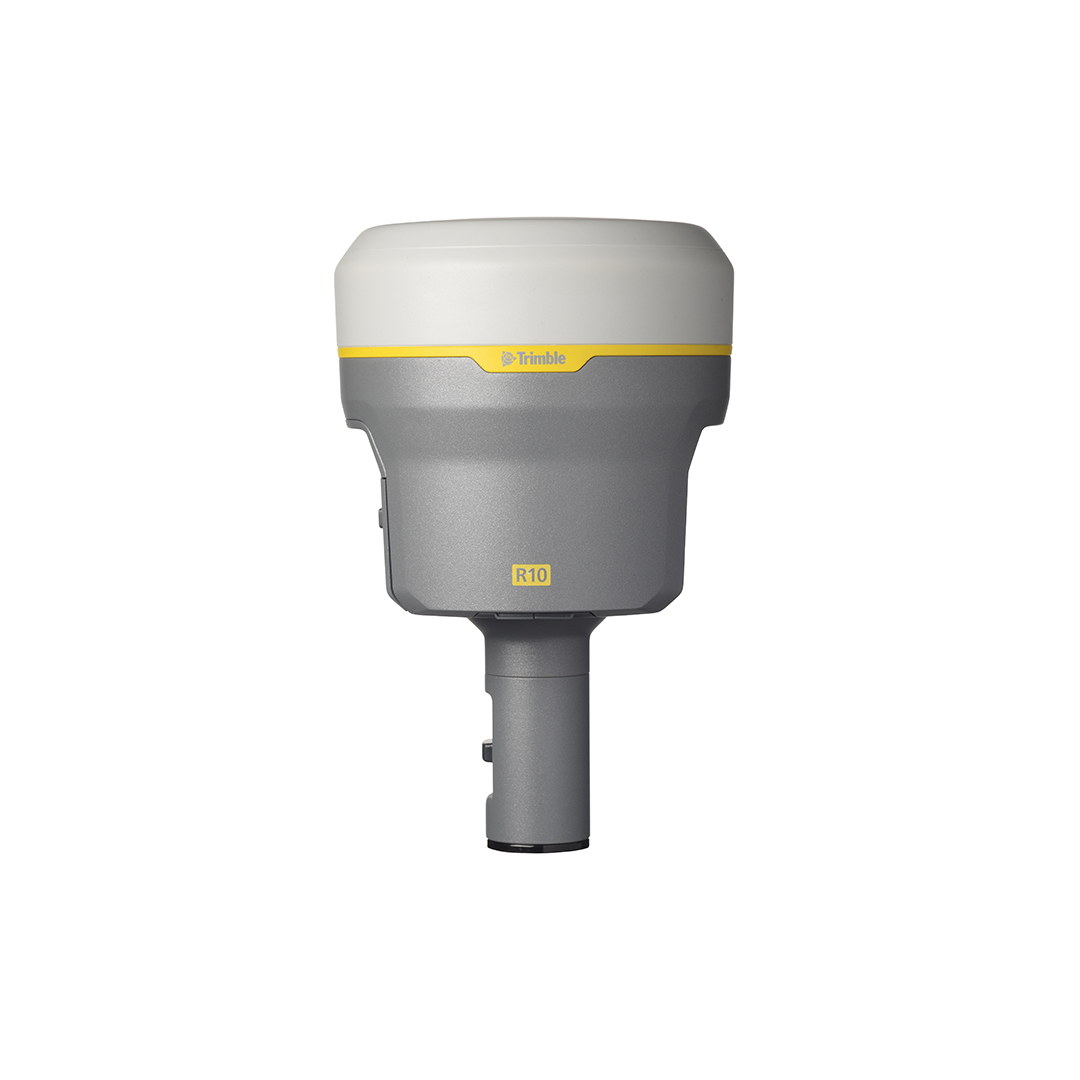
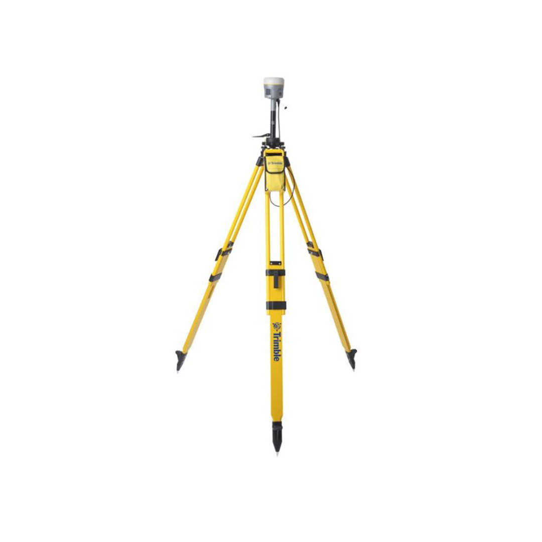
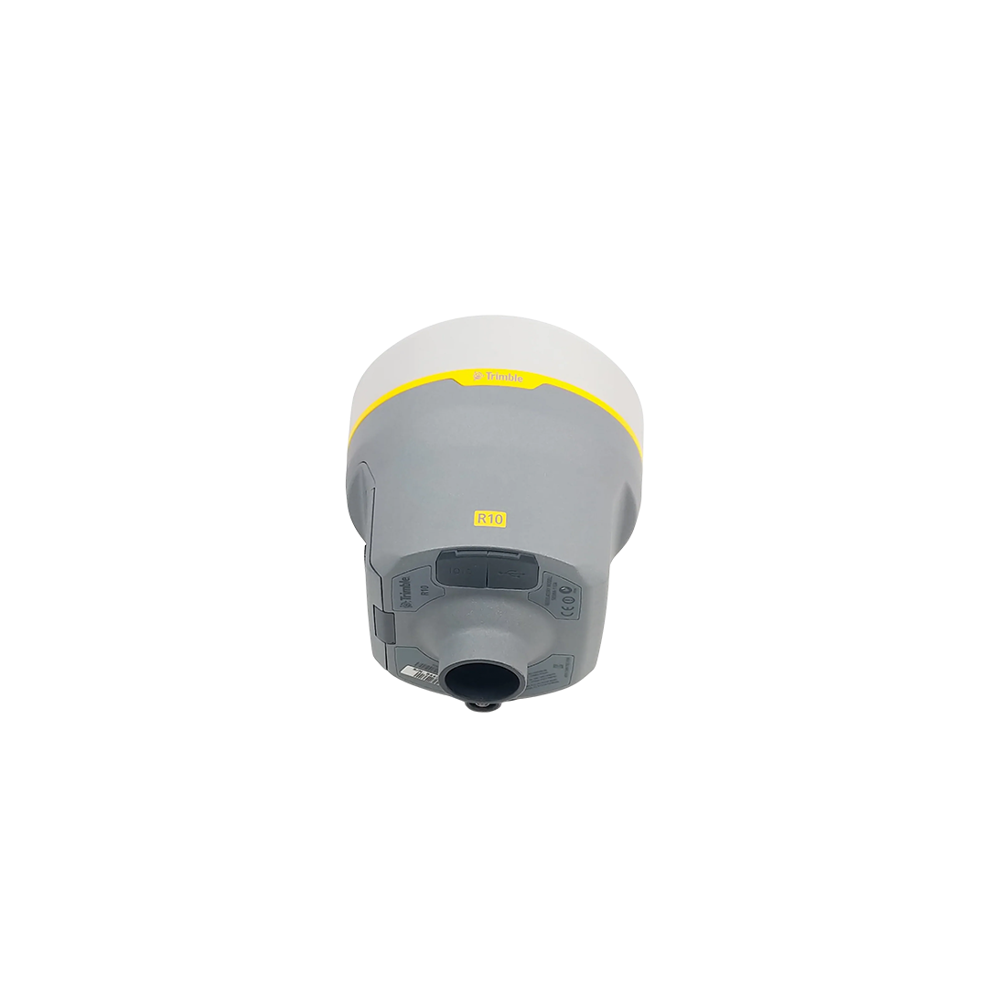
Trimble R10
Trimble R10
€POA
PRODUCT ENQUIRY
PRODUCT ENQUIRY
HIRE ENQUIRY
USED ENQUIRY
Select your currency
EUR
Euro
GBP
Pound sterling