
With over 40 years as a pioneering photogrammetry solution, the Trimble Inpho software suite provides streamlined workflows for any aerial imagery project to generate high-quality products like dense point clouds, true orthophotos and 3D meshes.

For any aerial imagery
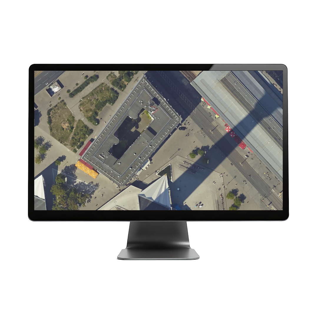
Utilise Inpho for any aerial platform—single or multi-camera—and for any project type with low- or high-overlap imagery, regardless of project size.
Comprehensive evaluation tools
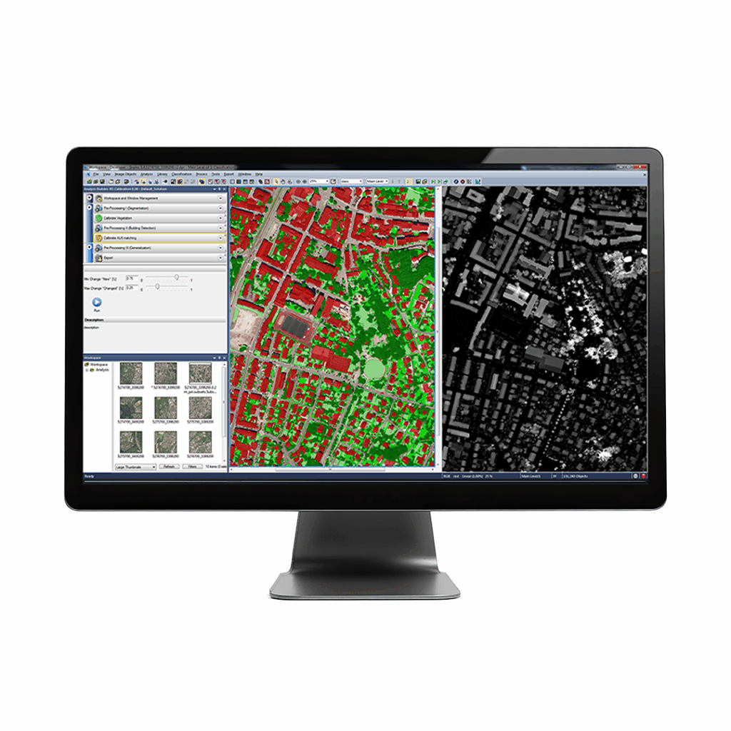
Evaluate the accuracy of imagery and the quality of your final results using interactive, automatic tools and a comprehensive project report file.

Product options available
Choose between a single module or a full software suite to fit your production-line specifications, from aerial triangulations to final deliverables.
Distributed processing
Increase production speed with high-performance processing engines or scale up your productivity through distributed processing tools to meet your deadlines.
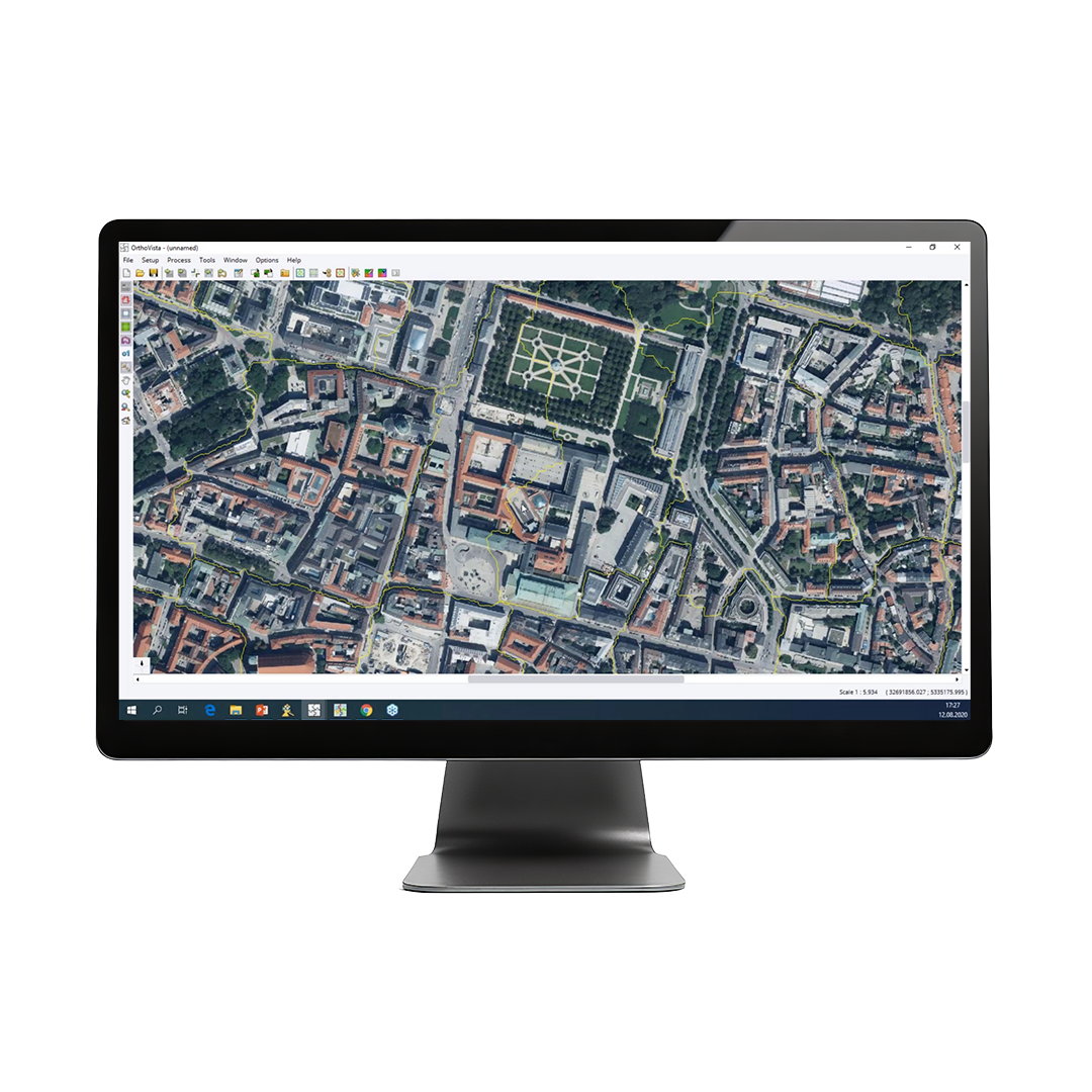
Trimble Inpho is a software suite that provides streamlined workflows for any aerial imaging project. It is designed to precisely transform aerial images into consistent and accurate point clouds and surface models, orthophoto mosaics and digitised 3D features using state-of-the-art photogrammetry and remote sensing techniques.
• Image capturing: Designed for any camera system
- Imagery type: Any aerial frame digital imagery
- Flexible, streamlined workflow: Modular products for any application
- Quality analysis: Interactive QA tools and reports
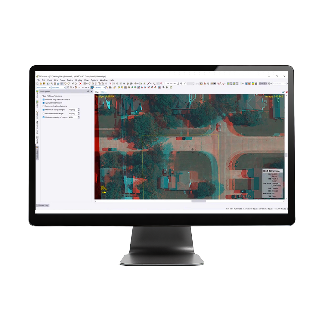
- Editing tools: Point cloud editing capabilities
- Data integration: Combine image and LiDAR data