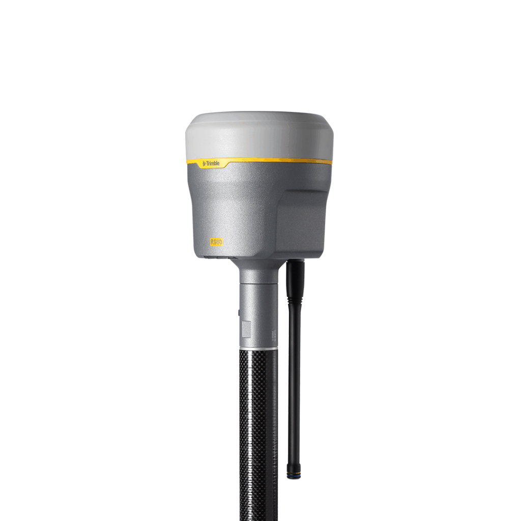
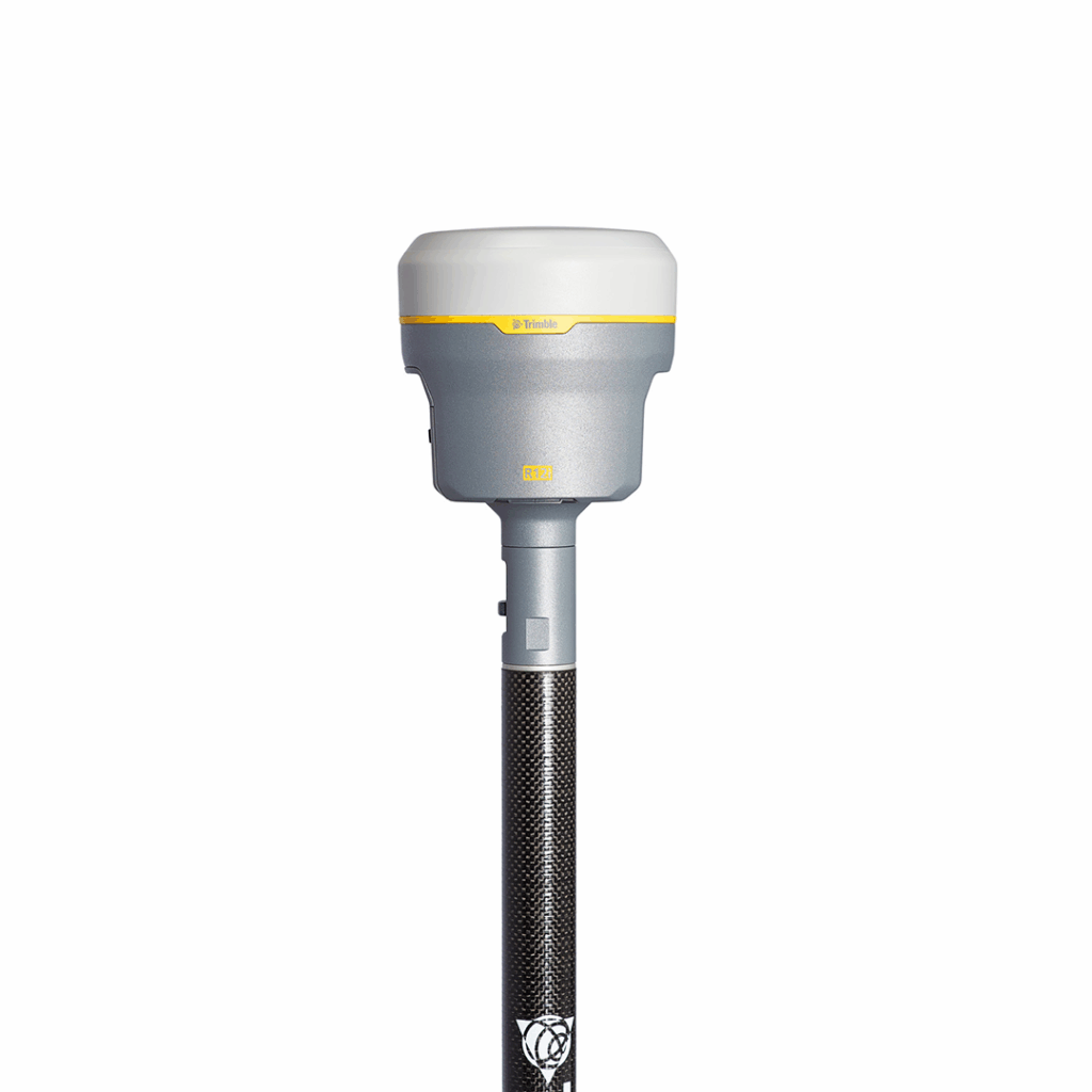
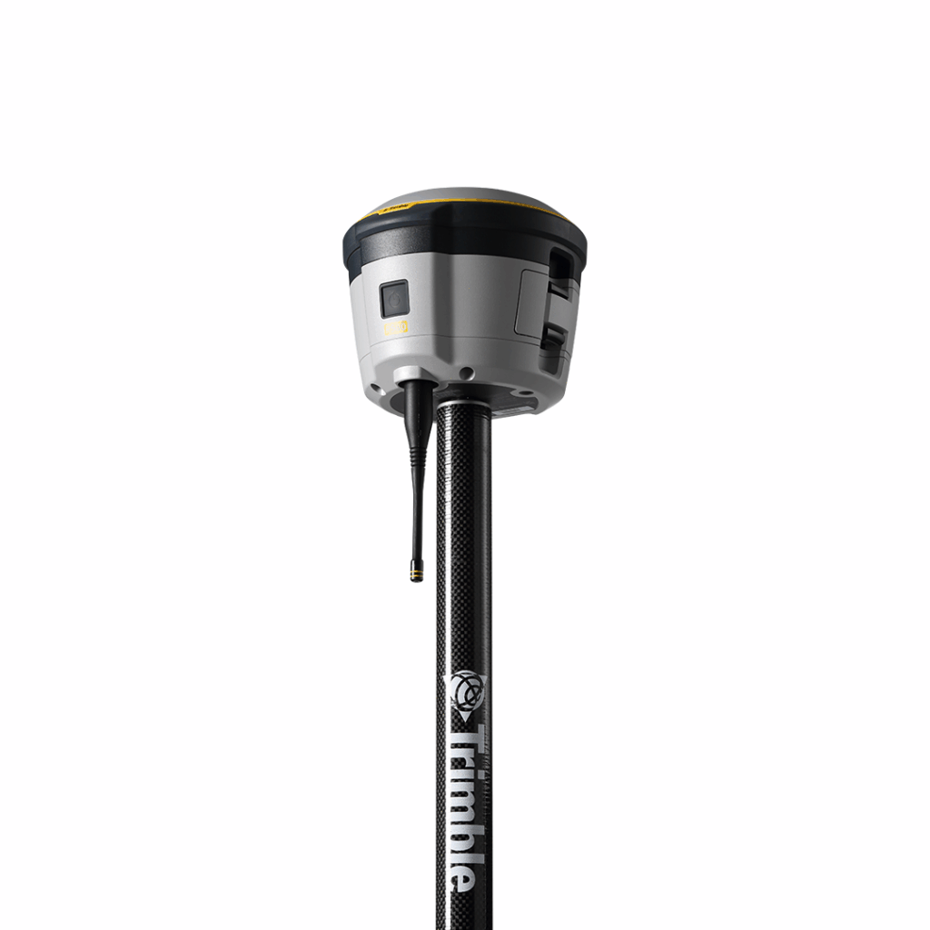
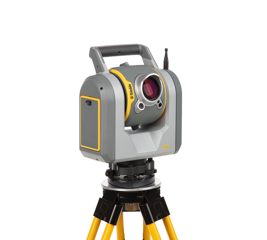
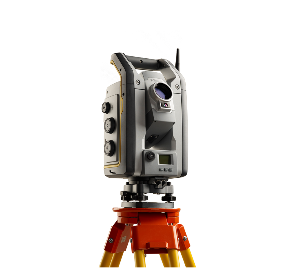
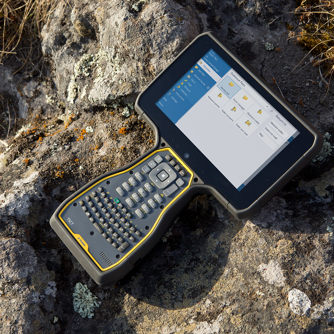
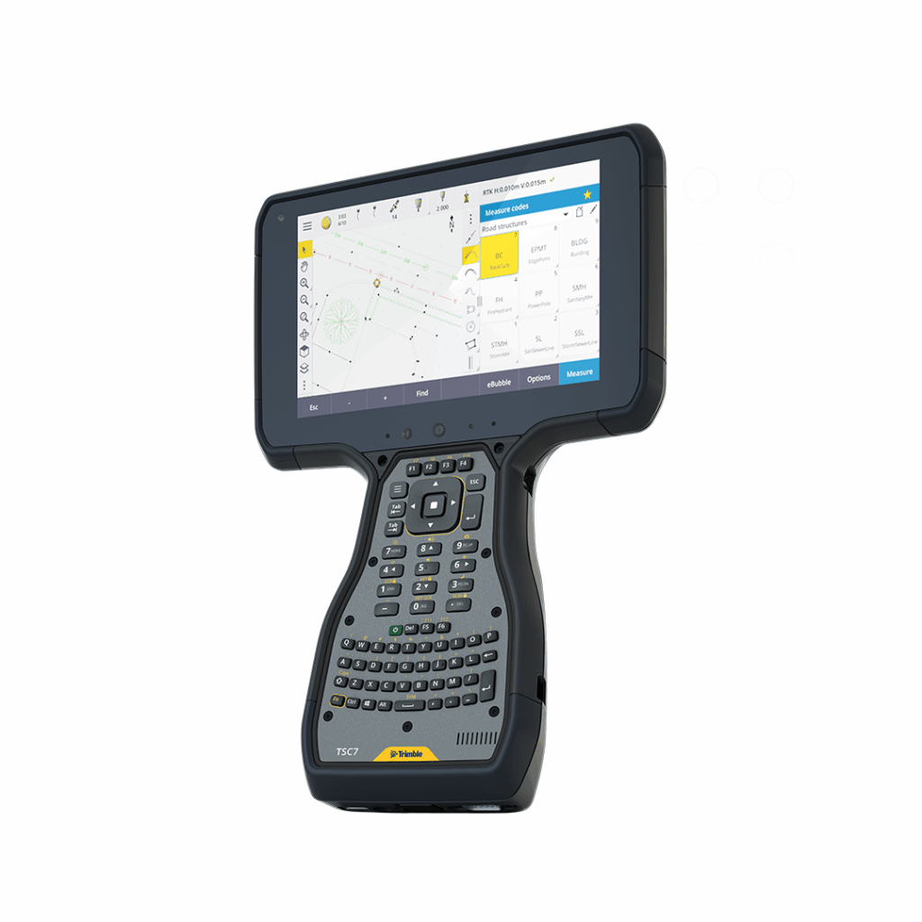
Trimble Access
€POA
PRODUCT ENQUIRY
Leading field software used by professional surveyors around the world.
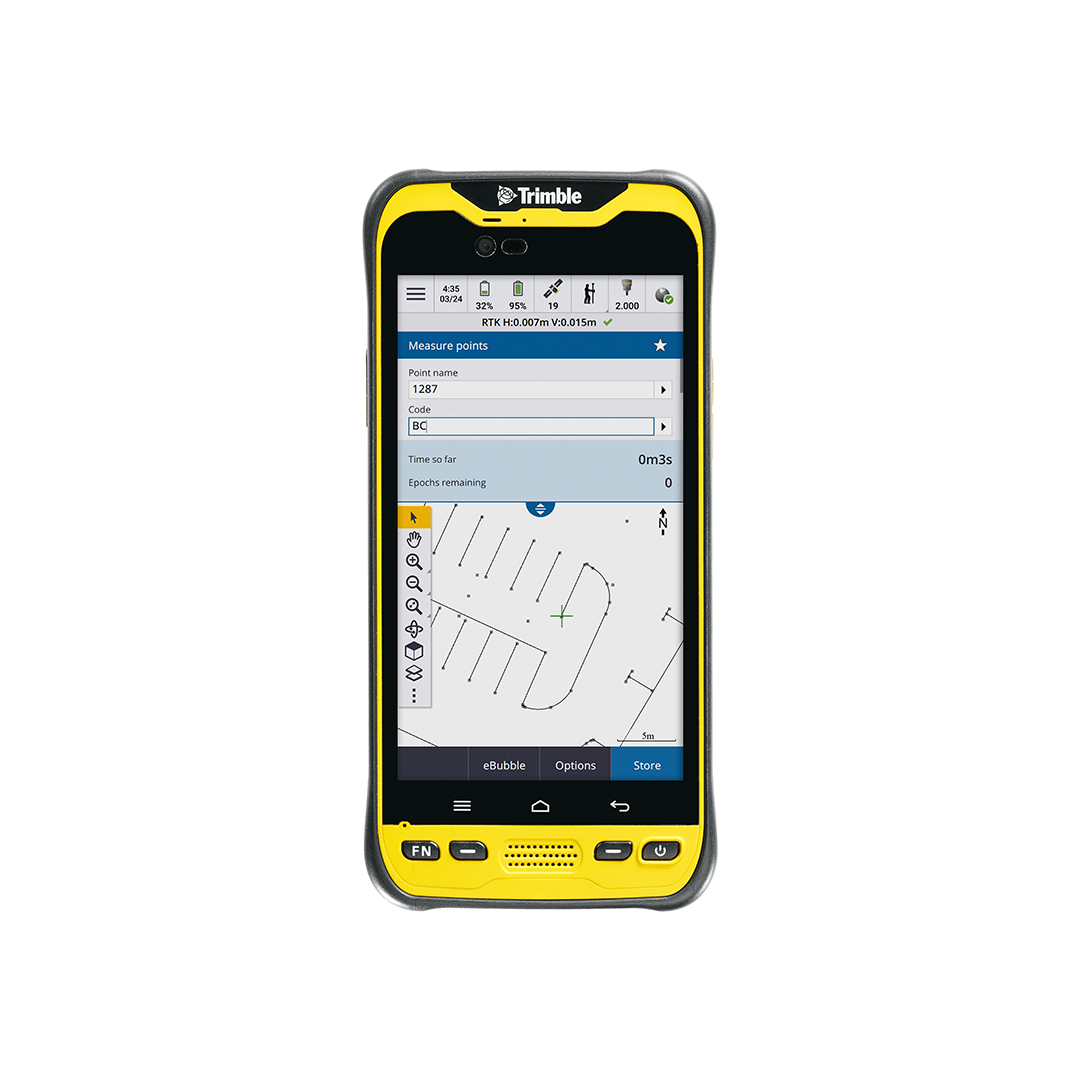
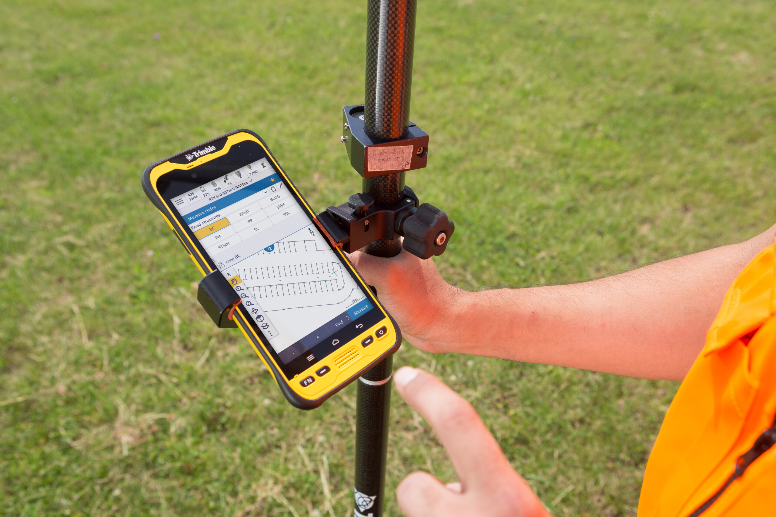
Trimble® Access™ software delivers functionality that supports efficiency, accuracy and ease of use with simplified workflows. An optimised digital solution for survey workflows, it enables data collection, processing and analysis for field-to-office efficiency.
Subcription plans bring flexibility and lower upfront costs whilst ensuring users are always up-to-date.

BIM file formats supported
View, Review and Setout from IFC models, storing BIM attributes with as-staked points.
Scheduled data syncs
Save time with AutoSync by automatically uploading job data to the cloud at a convenient time.
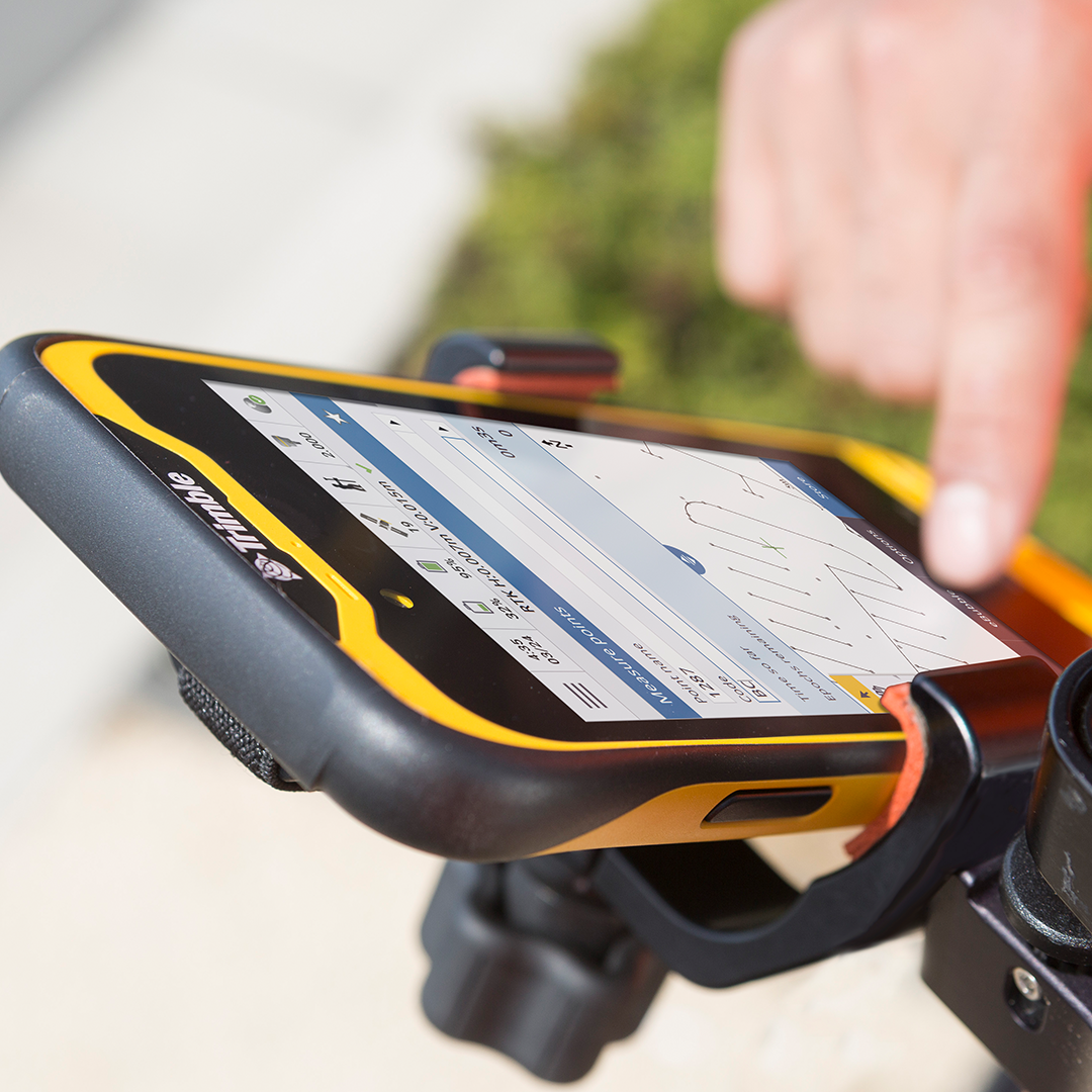
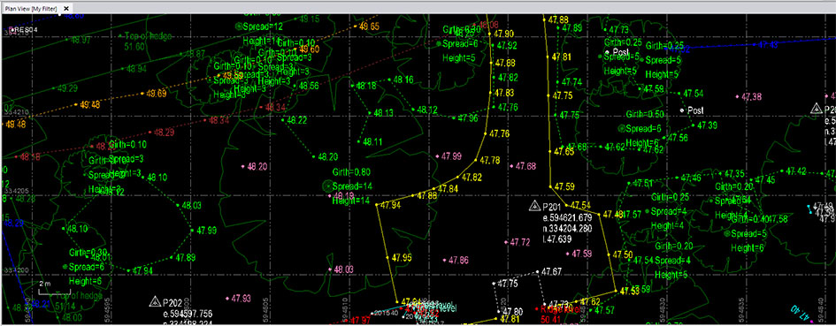
Linework and symbols shown in map
Feature coded linework and symbols shown on the map making features visible as you work.

Seamless field-to-office workflow
Control codes align with Trimble Business Center software for streamlined data management.
Trimble Access software has a range of specialised applications designed to make fieldwork easier including Roads, Rail, Pipelines, Tunnels, Monitoring, Mines and SDK.
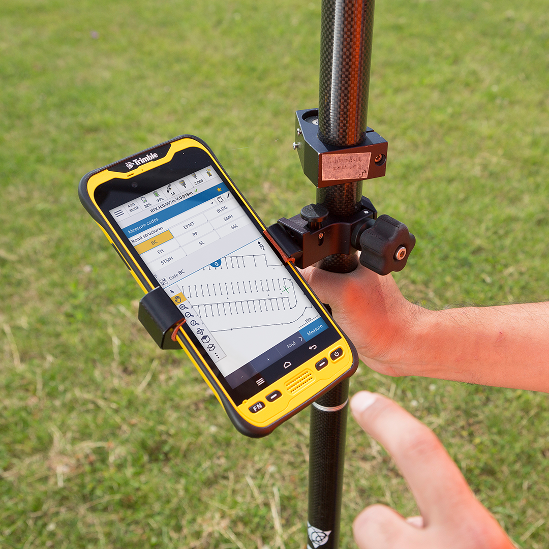
- Powerful COGO routines – convenient one-tap feature coding
- Integrate with BIM models – view & use IFC and TrimBIM files
- Trimble Maps – up-to-date background maps help identify key features near a survey mark
- Horizontal tilt offset – measure hard-to-reach locations
- Underground utility locator – locate buried assets
- Split screen map & form layout – interact with map & form fields
New KOREC case study: Optimising the PDC workflow
How PDC's Sam Snowling fine-tuned the company’s Trimble workflow with three straightforward steps to create a field to finish solution that’s saving time, enhancing client deliverables and setting up the business for future growth.
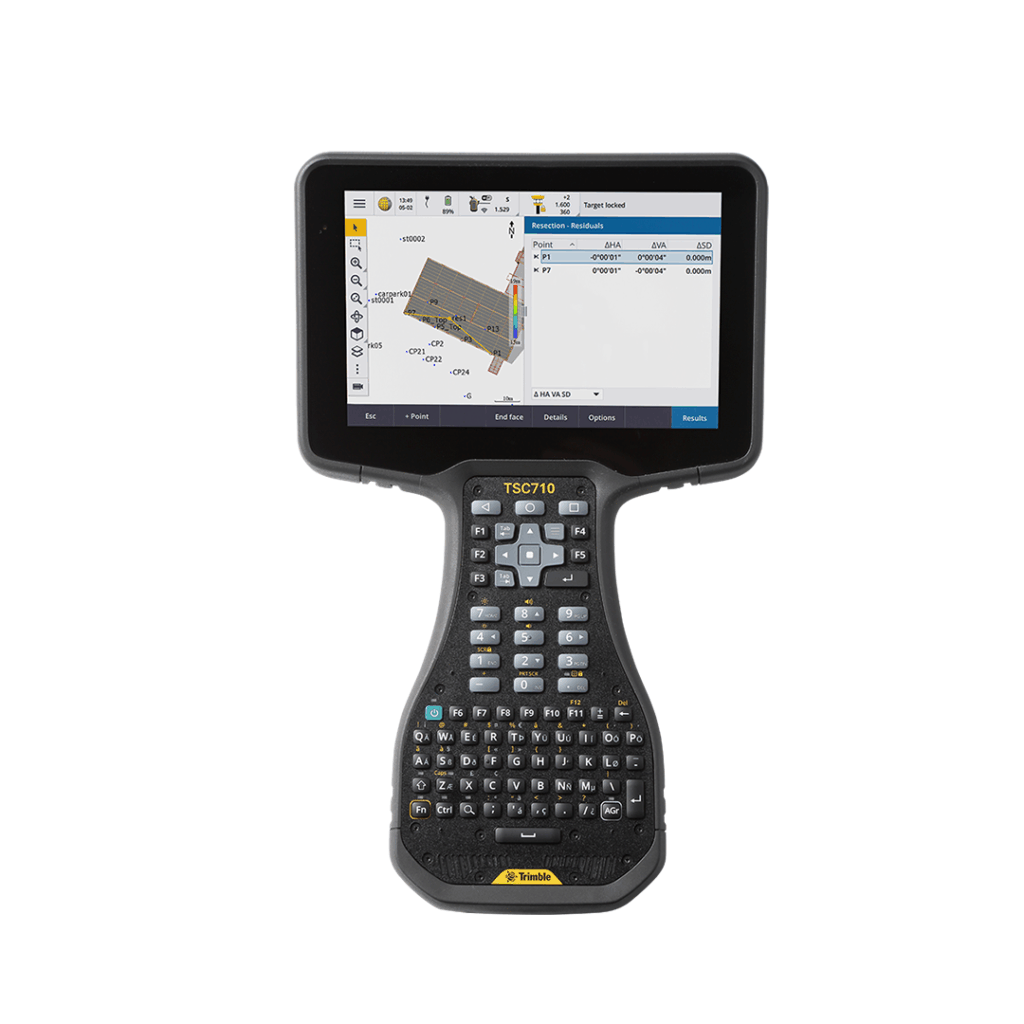
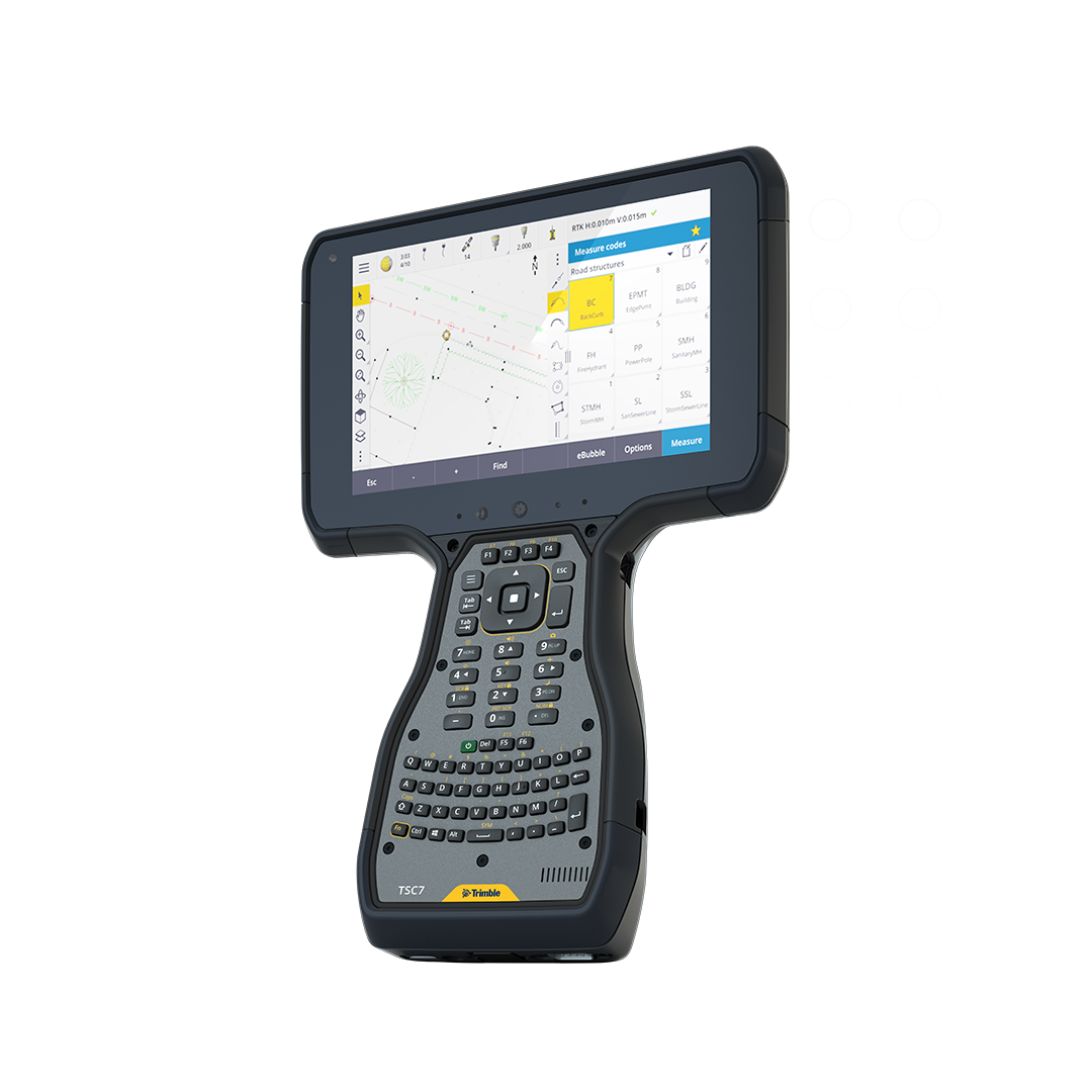
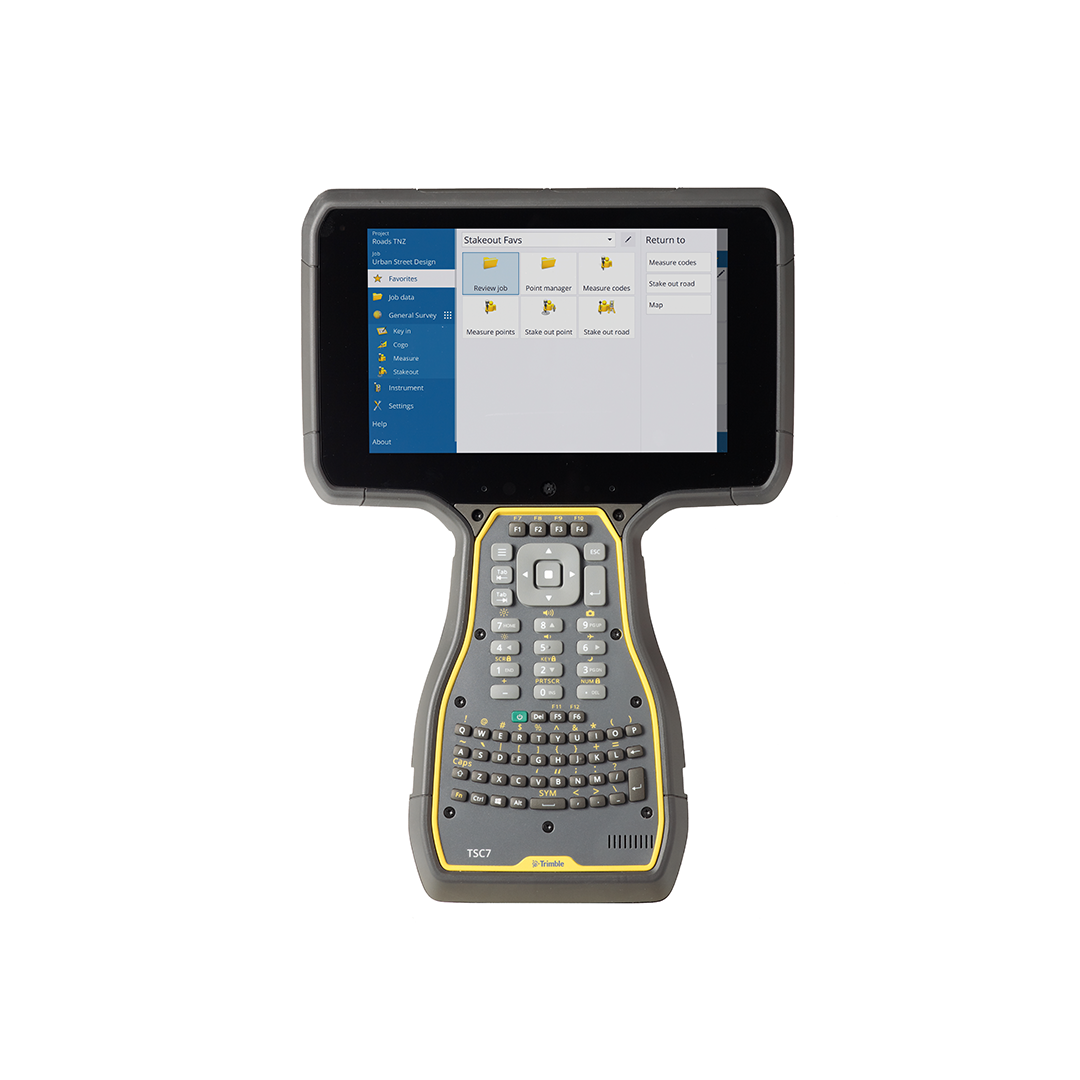
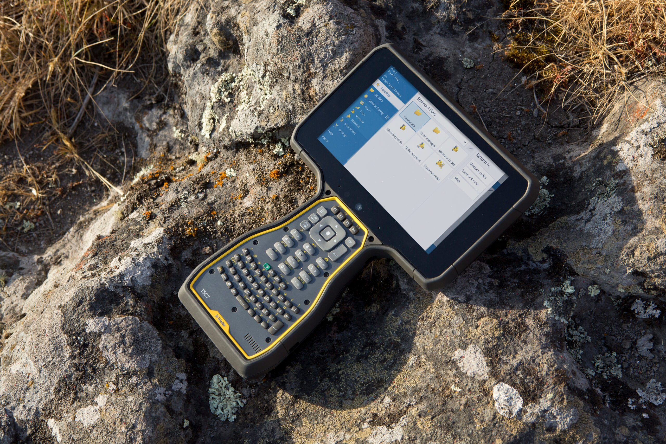
Trimble TSC710
Connect to a better way to work with the all-new Trimble TSC710
€POA
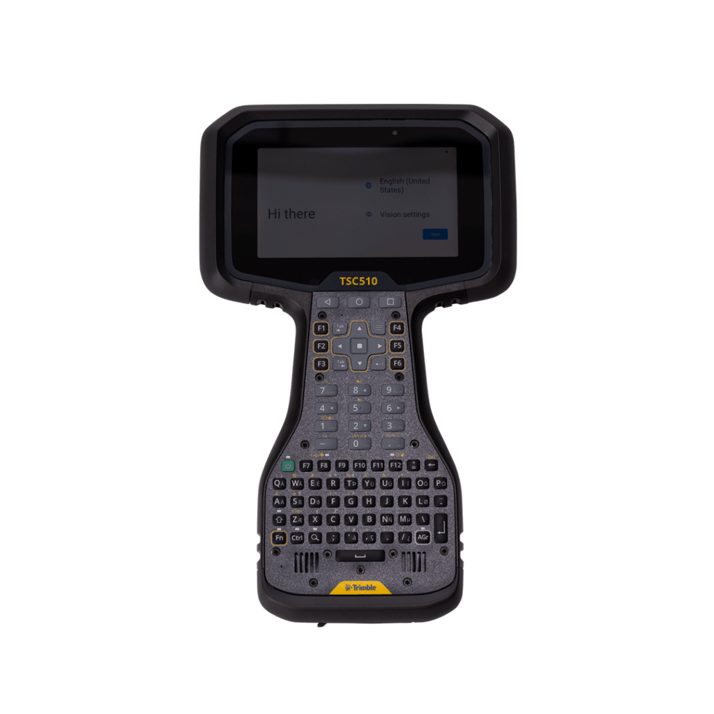
Trimble TSC510
Connect to a better way to work with this robust, top-tier controller
€POA
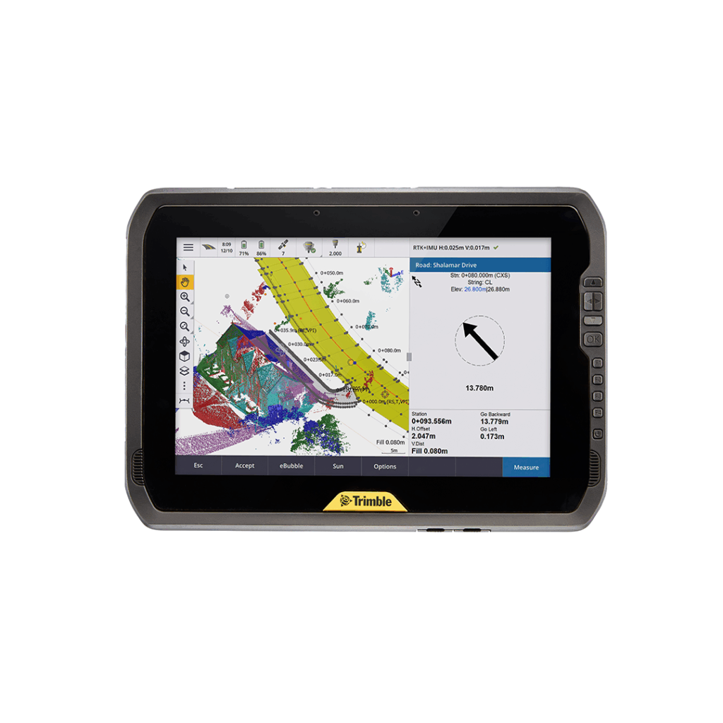
Trimble T100
A tablet designed to unlock powerful surveying capabilities.