Terrasolid TerraPhoto
€POA
PRODUCT ENQUIRY
Powerful ortho-rectification of images and data visualisation
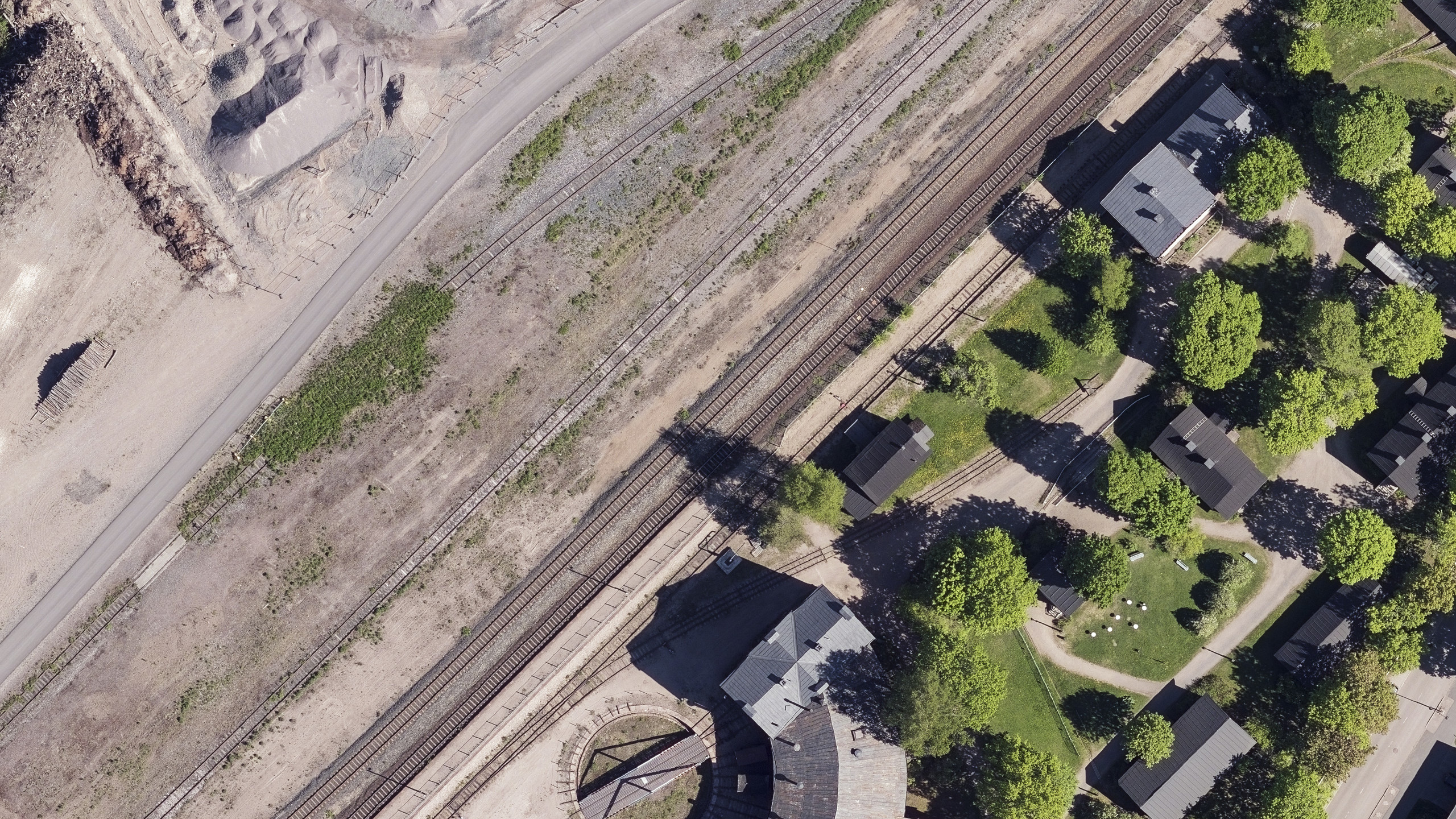
TerraPhoto is specifically developed for processing images captured together with laser data during a survey mission. It enables the production of rectified images and ortho mosaics based on ground model that has been extracted from the laser data. The positioning of the source images can be refined by using tie points for image-to-image adjustment while ground control point can be involved for improving the absolute accuracy of the image block.
TerraPhoto also offers colour adjustment options, the creation of selection shapes for several object types or areas (e.g. buildings, water), and the inclusion of vector models for true-ortho photo production. TerraPhoto lets you create ortho photos of good positional and colour-coordinated quality.

Powerful ortho-rectification of images
Start a camera calibration from scratch, or convert calibration files from mobile and airborne systems. It reads a wide variety of formats, including ECW, GeoTIFF, TIF, BMP, CIT, COT, RLE, PIC, PCX, GIF, JPG2000 and PMG.
Combine with other Terrasolid software
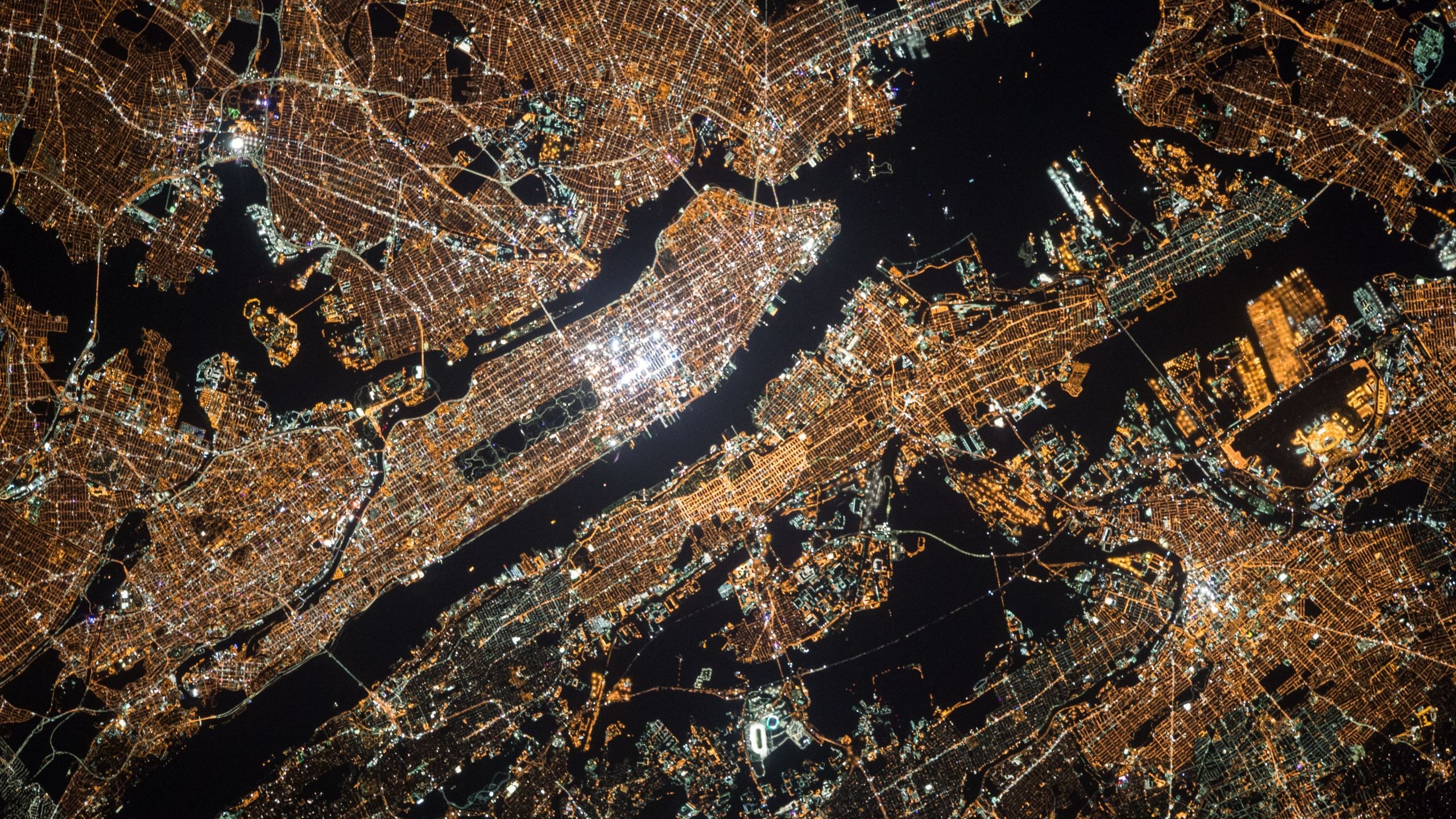
TerraPhoto upgrades the capability of TerraScan to drape ortho photos on ground models and building roofs, create wall textures and display of rendered views, create fly-through animations from laser and image data in an easy and intuitive way.

The right version for your workflow
TerraPhoto comes in Full, Lite and UAV editions, so whatever your use case or industry, you can get the right mix of powerful features to quickly deliver your outcomes

TerraPhoto works with TerraScan - the industry standard point cloud processing tool
DISCOVER TERRASCAN