Terrasolid TerraModeler
€POA
PRODUCT ENQUIRY
A versatile tool for all kinds of design and modelling tasks
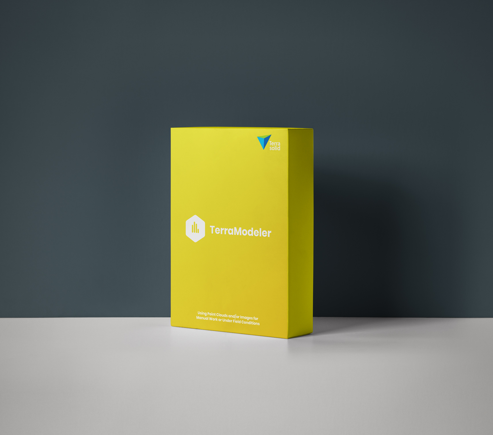
TerraModeler from Terrasolid is a versatile tool for many kinds of design and modelling tasks. It empowers you to create, edit and make use of surface models (TINs) from a wide range of sources. TerraModeler gives you versatile visualisation options, including coloured, shaded surfaces, contour lines, grids, coloured triangle nets, elevation texts, and slope directions. It can also do textured surfaces in combination with TerraPhoto.
- Create surface models from LiDAR points, XYZ ASCII files, graphical design elements
- Produce contour line and lattice models in batch processing
- Modify TINs and create profiles,
- Calculate volumes, elevations, and difference between multiple surface models
- A full range of export options to match any project deliverable
TeraModeler comes in various versions, including Full, Lite and UAV. The UAV edition can create, edit, and visualize DTM terrain and DSM surface models from points in TerraScan UAV edition.


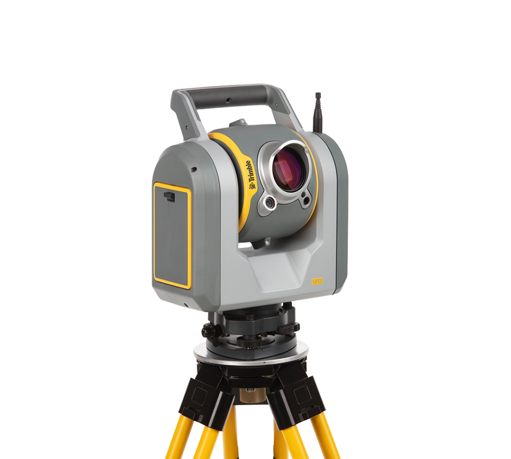
Use any surface source
TerraModeler can create surface models from several sources, including laser points, breakline elements, and xyz text files.
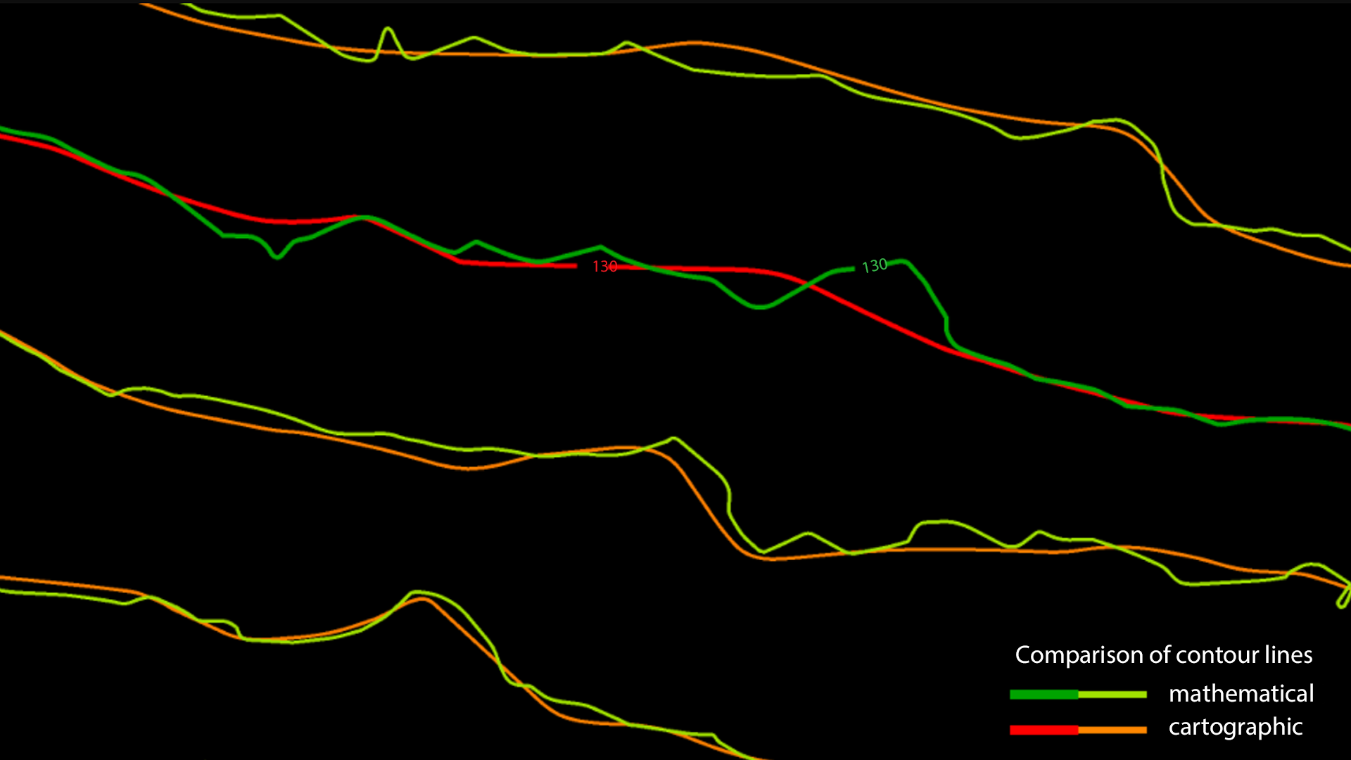
Contour line production
Contours are the traditional and familiar way of depicting elevation differences on a map. Points classified with TerraScan can be used as basis for contour line creation in TerraModeler.

The right version for your workflow
TerraModeler is available in Full, UAV and Lite versions, so whatever your use case or industry, you can get the right mix of powerful features to quickly deliver your project goals.

TerraModeler works well with TerraScan
Discover TerraScan