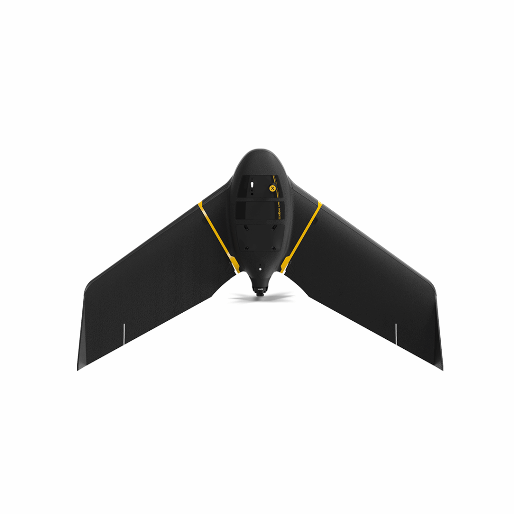
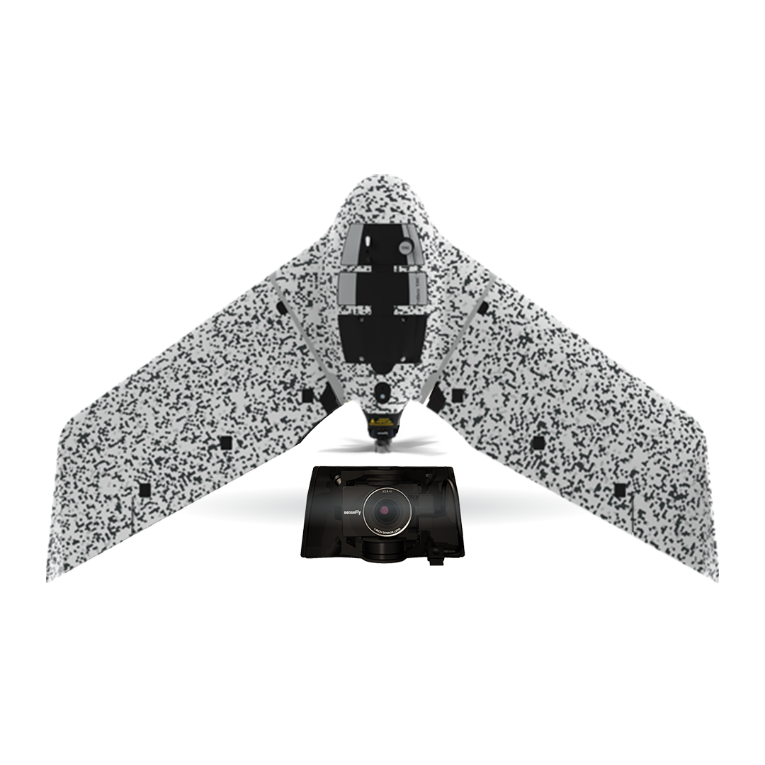
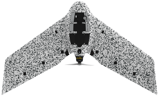
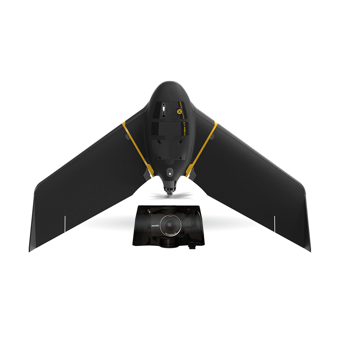
The S.O.D.A. 3D mapping camera is a professional drone photogrammetry camera that changes orientation during flight to capture three images (2 oblique, 1 nadir) every time, instead of just one, for a much wider field of view.

Versatile
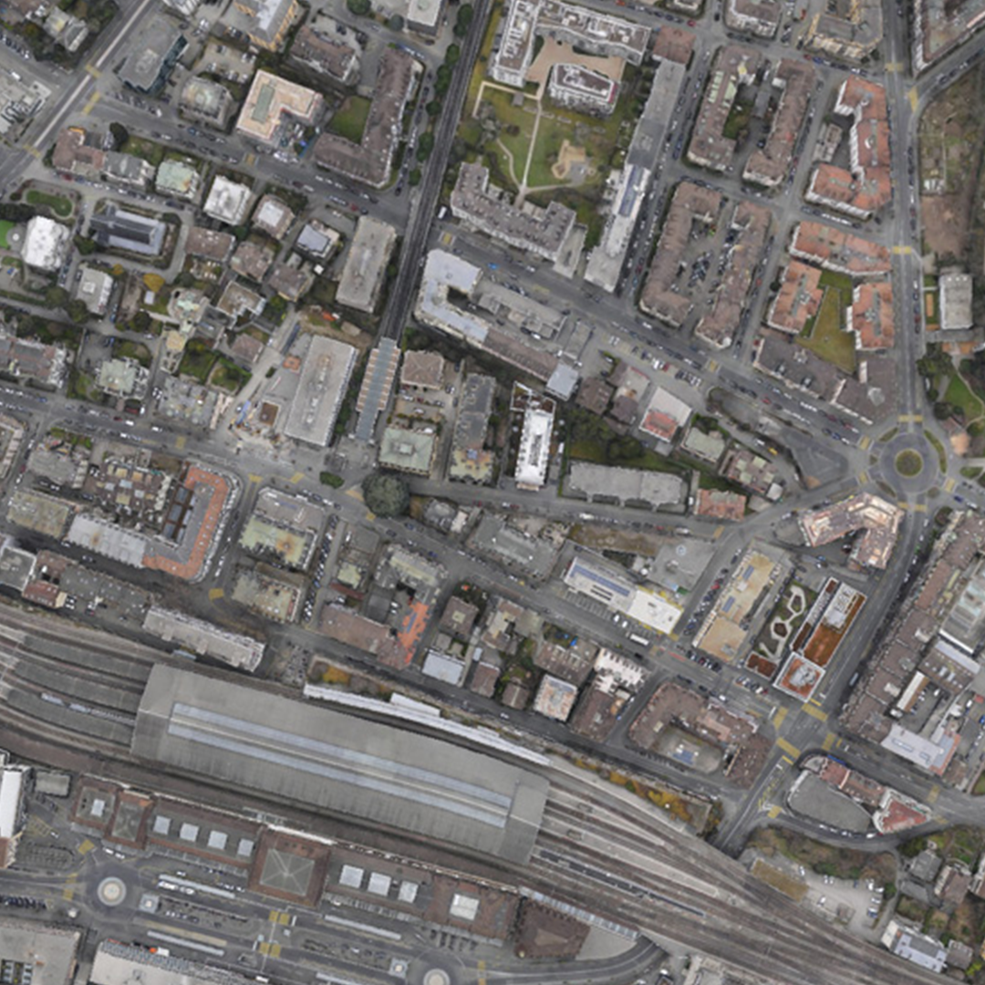
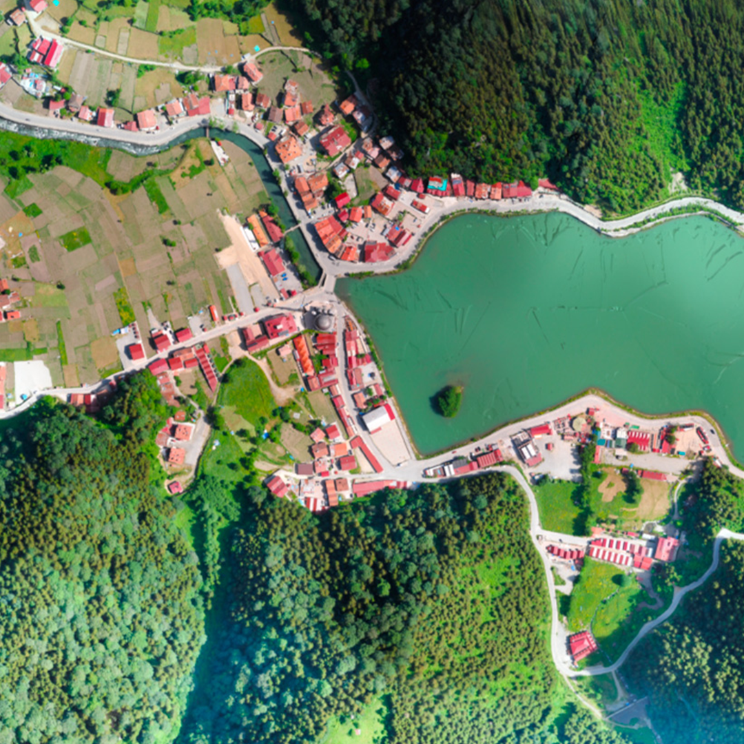
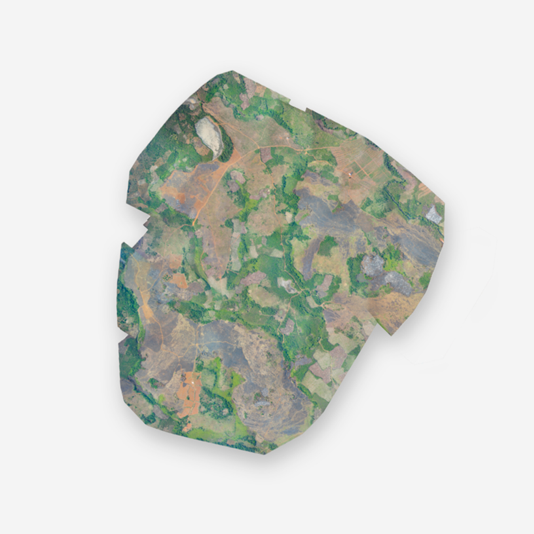
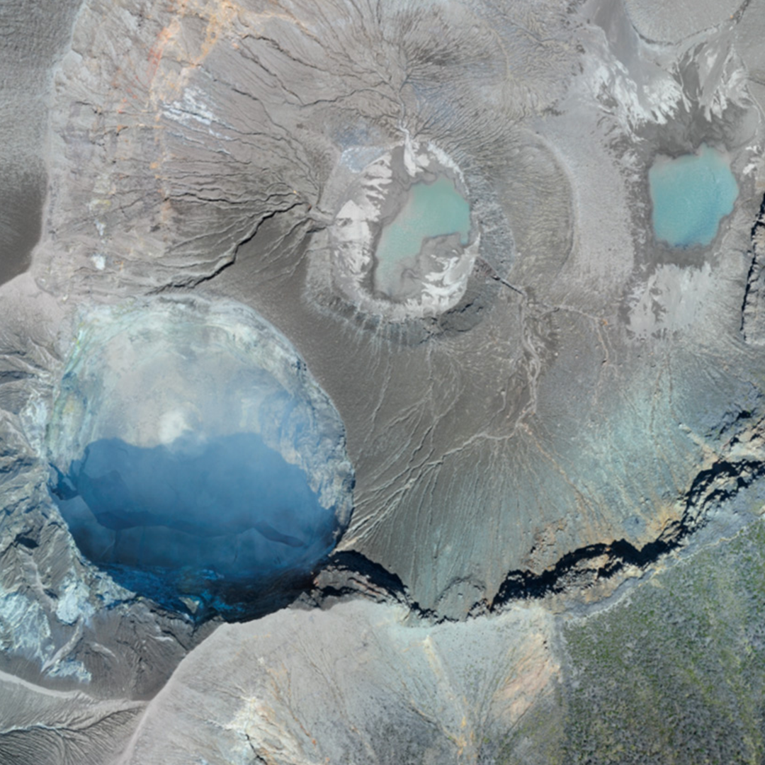
The S.O.D.A. 3D maapping camera is ideal for uban mapping, mine & quarry mapping, coastline mapping and large area mapping over flat terrain.
Smart exposure technology
Optimised exposure time suits numerous light conditions, including low-light, producing super sharp, rarely over-exposed images with minimal risk of noise & motion blur.
Direct in-flight georeferencing
Records the GPS position and exact orientation of Aeria X at each capture location. Less image overlap is required, enabling greater flight coverage and quicker image processing. Especially useful for improved reconstructions over difficult environments (water, forests, etc.).
Proven technology
Records the GPS position and exact orientation of Aeria X at each capture location. Less image overlap is required, enabling greater flight coverage and quicker image processing. Especially useful for improved reconstructions over difficult environments (water, forests, etc.).
The camera provides stunning digital 3D reconstructions in vertically-focused environments such as urban areas, open pit mines and coastlines – over larger areas than quadcopters can achieve. It also delivers coverage over flat, homogenous terrain (up to 500 ha / 1,235 ac per 122 m / 400 ft flight*). * eBee X flight with Endurance Extension
• Sensor: 1” RGB
- Lens: F/2.8-11, 10.6 mm (35 mm equivalent: 29 mm)
- Resolution: 20 MP 5,472 x 3,648 px (3:2)
- Formats: RGB: JPEG, DNG+JPEG
- Exposure compensation: ±2.0 (1/3 increments)
- Shutter: Global 1/30-1/2000s (sensor)
- White balance: Auto, sunny, cloudy, shady
- ISO range: 125-6400 (sensor)
- FOV: Total FOV: 154°, 64° optical, 90° mechanical
- Direct in-flight georeferencing (DIFG)