LMX 100/200 GPR
£POA
PRODUCT ENQUIRY
A range of Ground Penetrating Radars (GPR) for measuring the hidden, from utility mapping and identifying areas of voiding to plotting the location of reinforcement within concrete.


The LMX & Noggin Series of GPRs deliver unmatched subsurface insight with rugged design and high-resolution imaging. From quick utility surveys to advanced geophysical surveys, these ground-penetrating radars provide clarity, flexibility, and reliability – empowering professionals to see what’s hidden and make confident, informed decisions on every project.
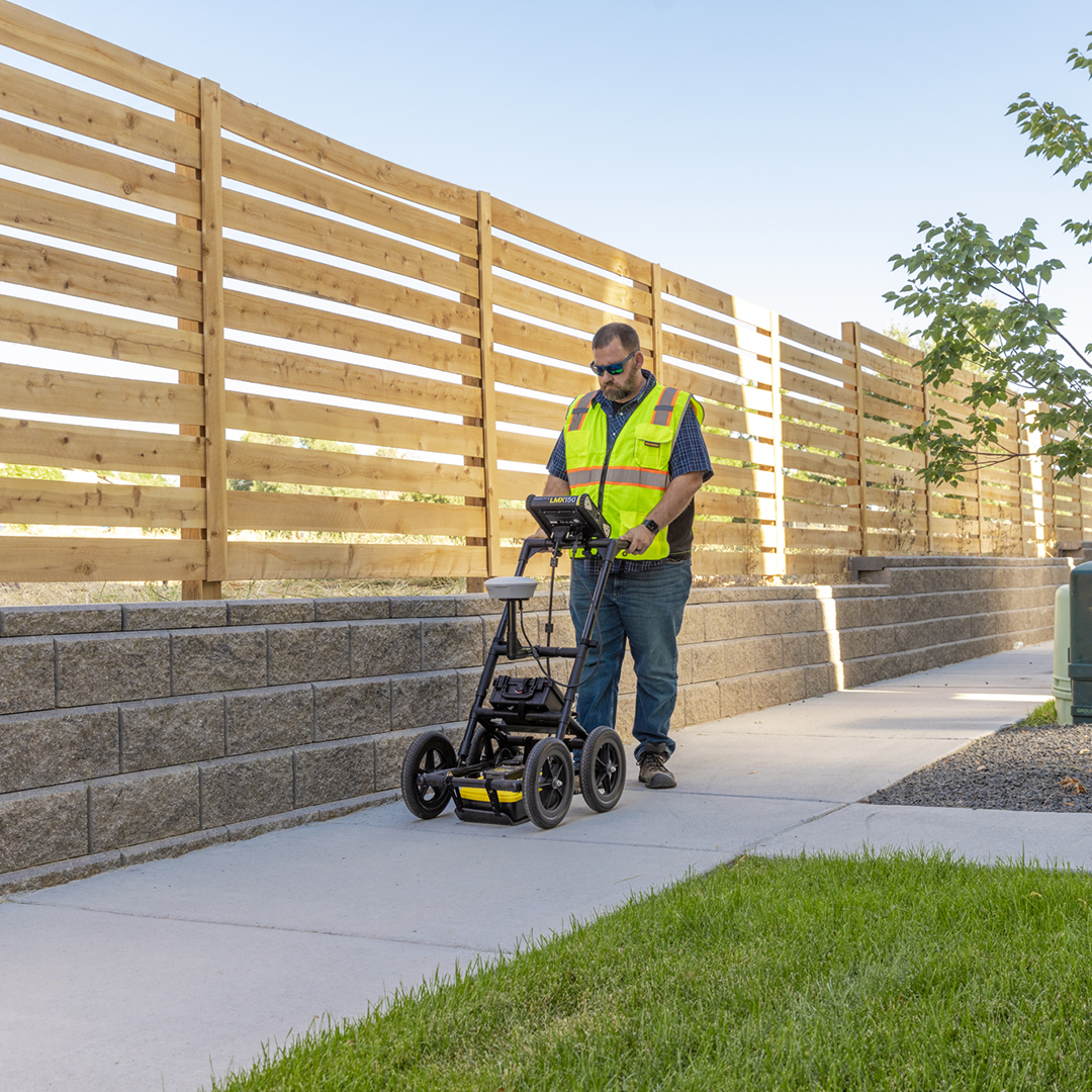
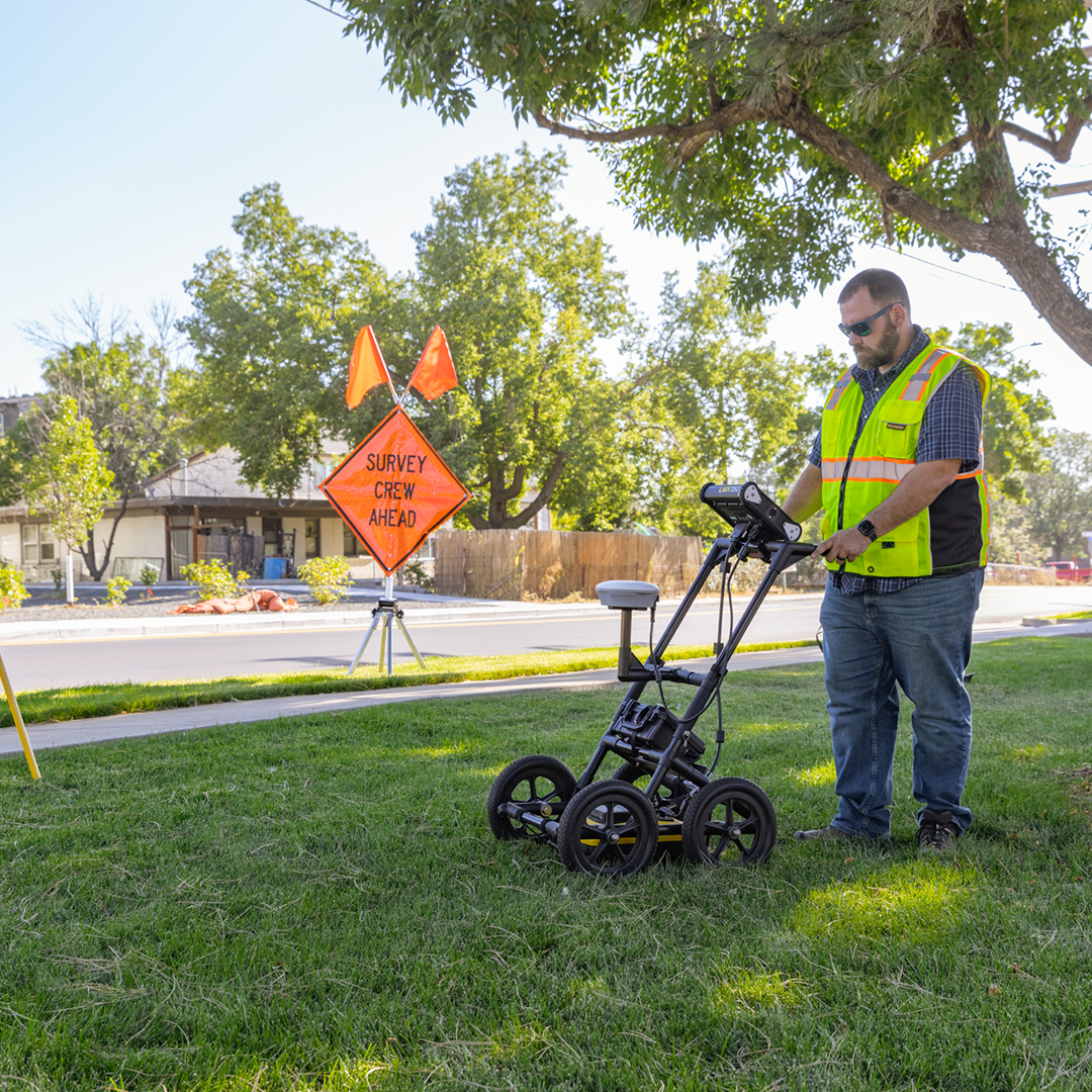
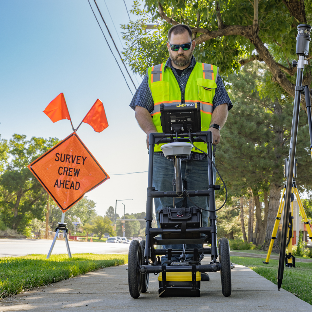
The Radiodetection LMX range of advanced Ground Penetrating Radar technology gives utility professionals a fast, reliable way to see what’s hidden beneath the surface. Designed specifically for locating non-conductive utilities that cannot be traced with traditional electromagnetic methods, the LMX series delivers a clear view of underground conditions to improve safety, accuracy, and efficiency on every job.

LMX100 GPR
A straightforward, cost-effective option in the range providing reliable GPR data, simple on-screen imaging and internal GPS for geo-tagging. This makes it well-suited to contractors and utility locators who primarily need a “locate and mark” solution with quick results in the field.
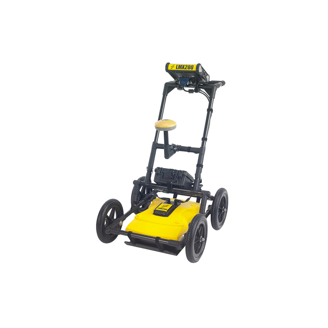
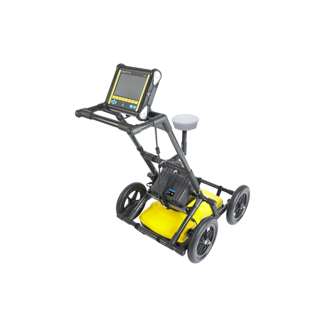
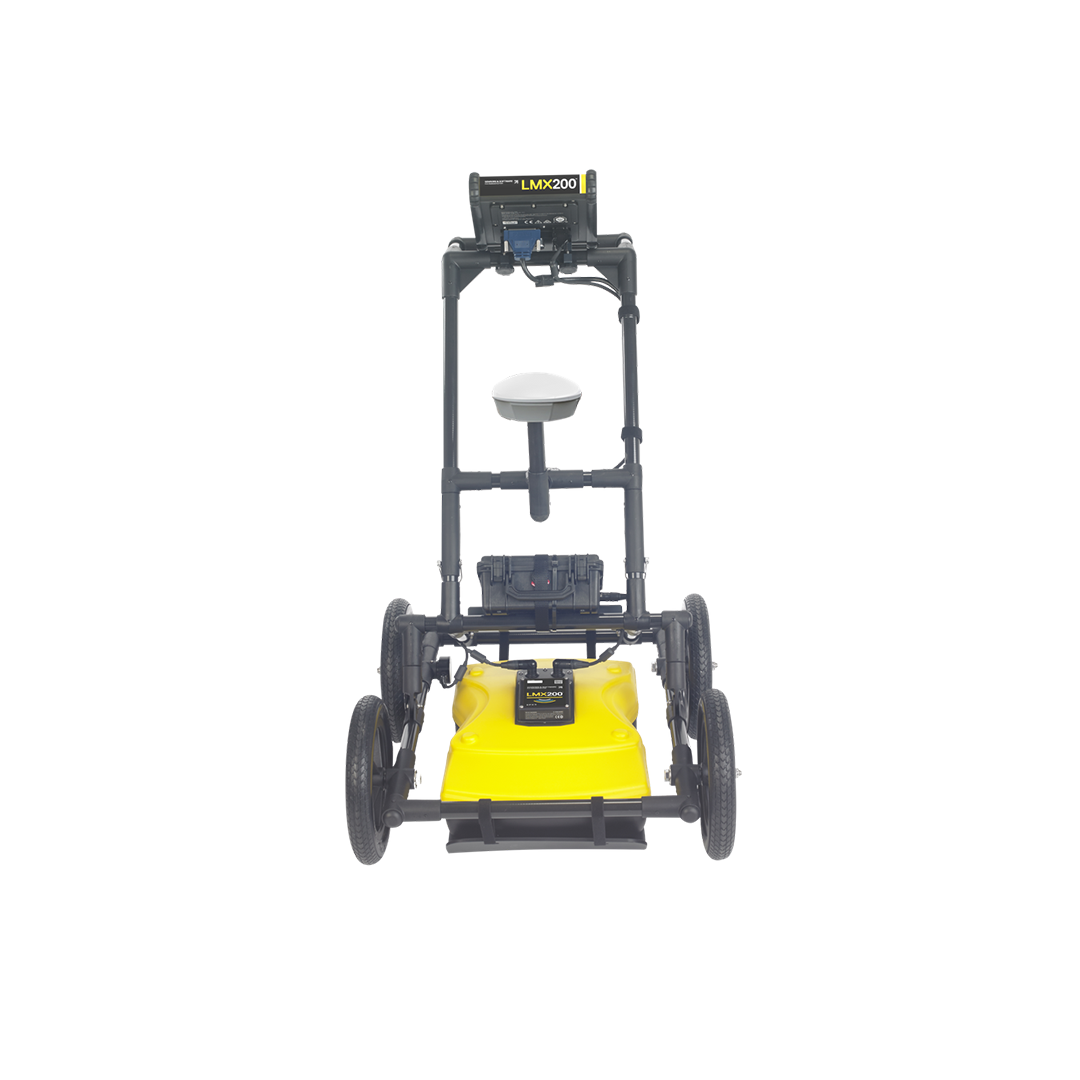
LMX200 GPR
bUILDING on the LMX100 with more advanced capabilities ADDING features such as Grid Scan mode, depth slicing, and real-time map views allowing users to explore subsurface data in more detail. The system also supports external GPS for greater positional accuracy, making it ideal for projects that require mapping or detailed reporting.
Noggin (modular)
A flexible, survey-grade solution for advanced subsurface investigations. The modular Noggin offers interchangeable antennas (100–1000 MHz) and multiple deployment options, making it adaptable for everything from shallow utility detection to deeper profiling and infrastructure assessment. Offers real-time depth slicing, map views, external GNSS integration and powerful data logging.
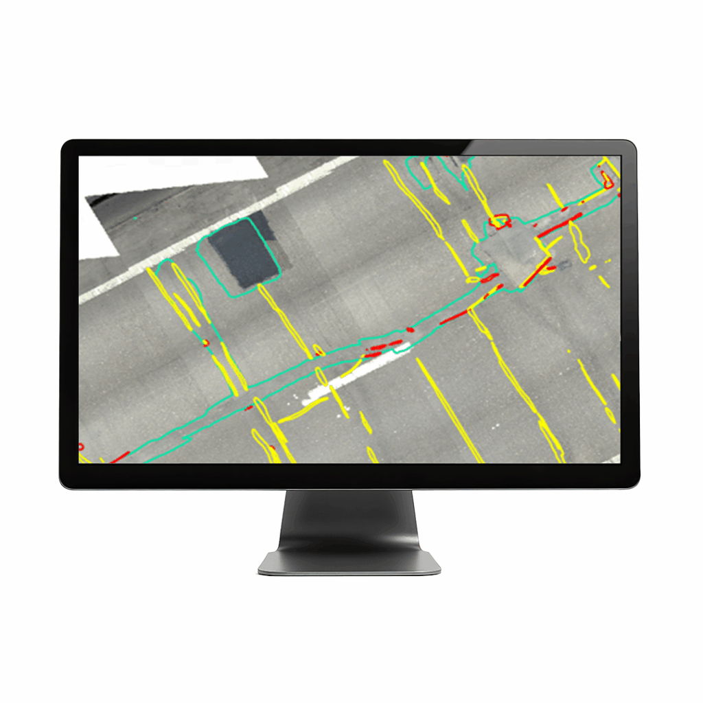
EKKO_Project GPR software
Processing and reporting software that makes powerful GPR analysis simple for visualising GPR data and turning it into usable information and reports. EKKO_Project GPR software is compatible with all Sensors & Software GPR systems that export GPR data.