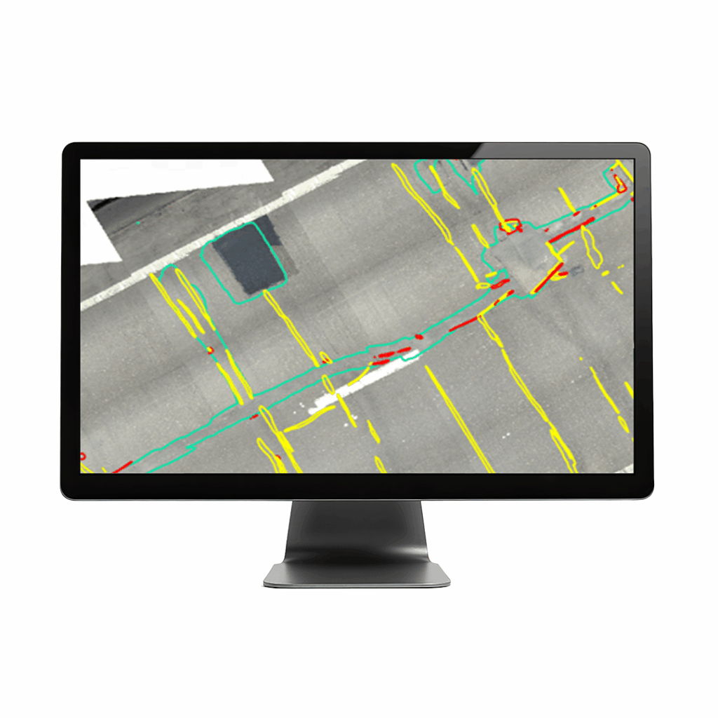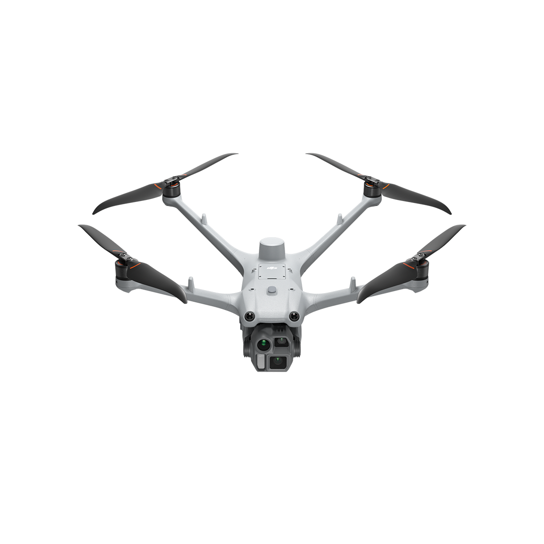
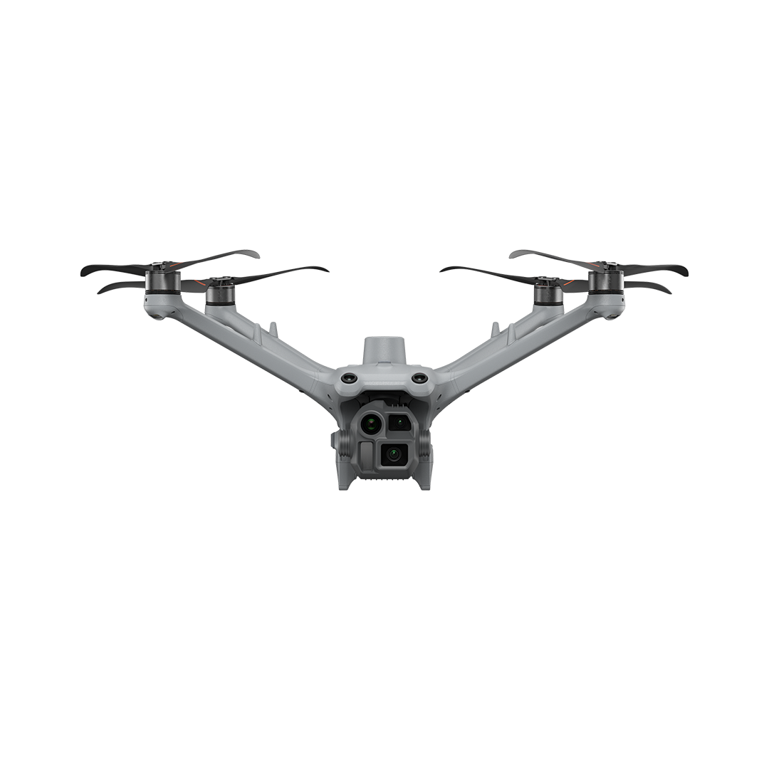
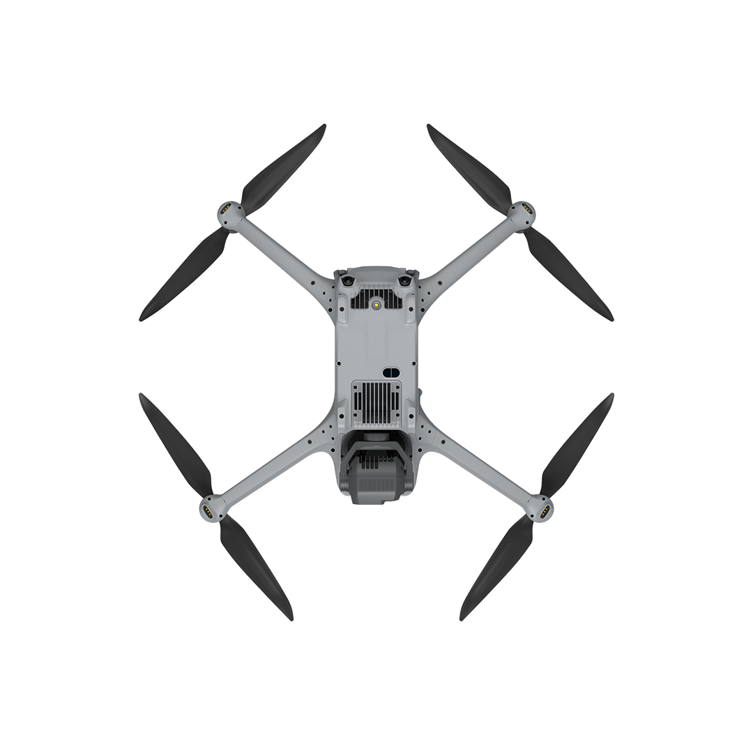
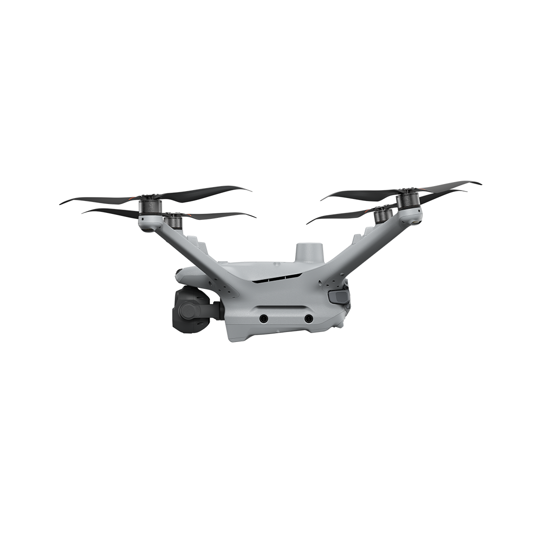
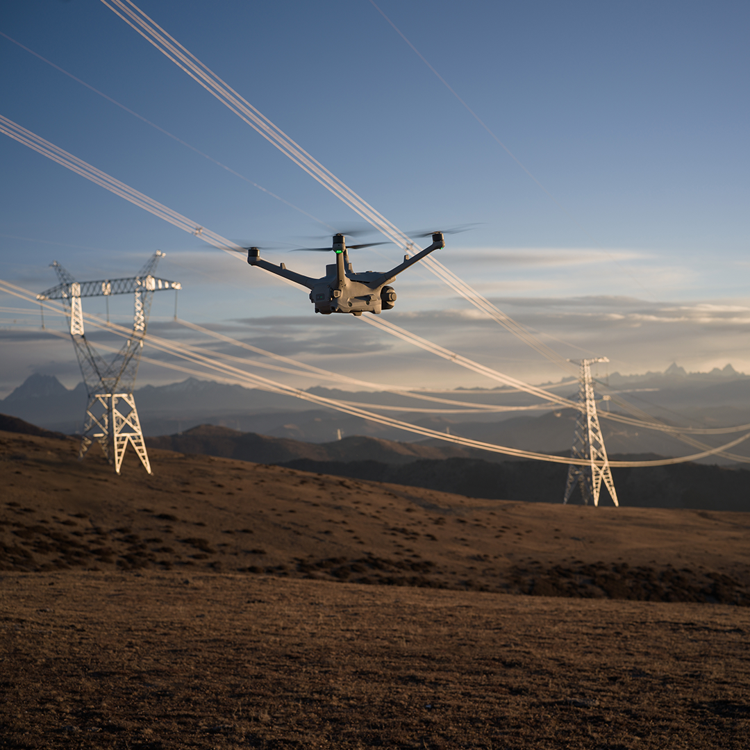
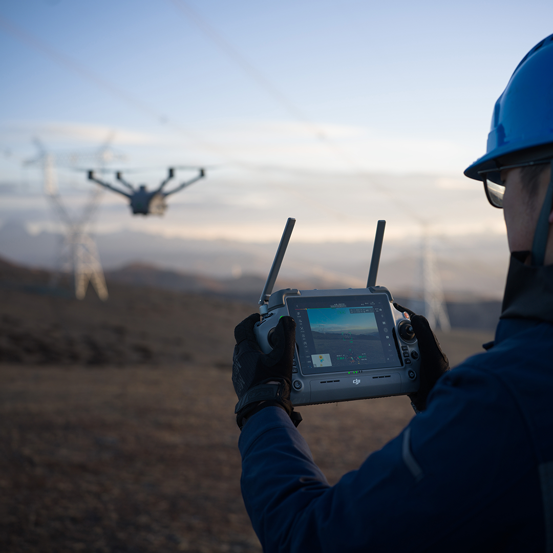
Matrice 4D is a high-performance enterprise drone designed for professional mapping, surveying, and visual inspections. It delivers very high-resolution imagery and precise distance measurement, and is built to operate in tough environmental conditions — making it ideal for infrastructure inspection, construction monitoring, land surveying, and other daylight-focused tasks.

High-Resolution Imaging
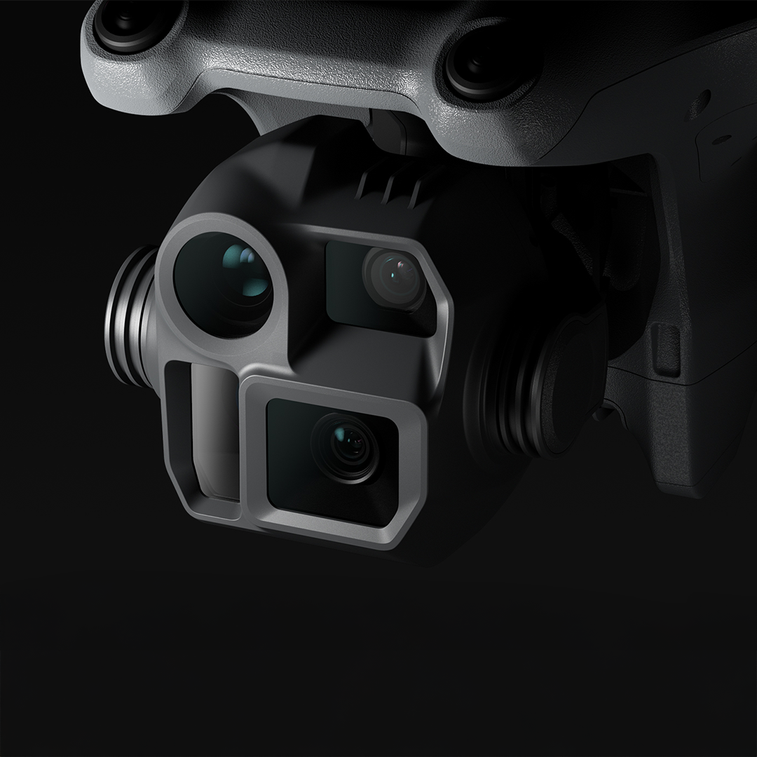
Delivers crisp visual data using a multi-camera system ideal for mapping and inspections.
Precise Distance Measurement
Built-in laser range finder provides accurate data for surveying and structural analysis.
Optimised for Daylight Operations
Excellent performance for construction monitoring, infrastructure inspection, and visual detail capture.
Durable All-Weather Design
IP55 protection and optional autonomous systems support reliable use in challenging conditions.
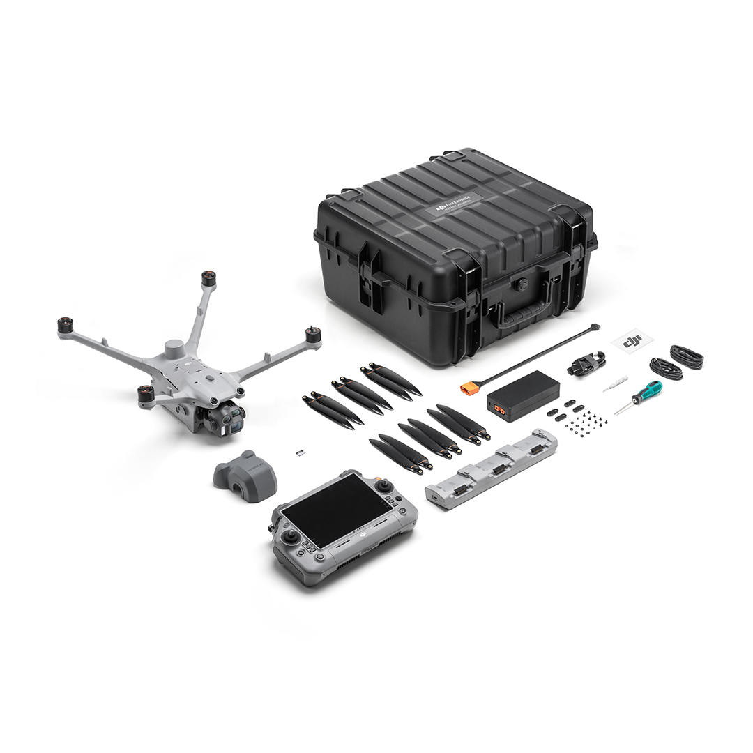
Key Technical Specs:
Camera system:
- Wide-angle camera — 4/3″ CMOS, 20 MP, mechanical shutter, ~24 mm equivalent.
- Medium telephoto camera — 1/1.3″ CMOS, 48 MP, ~70 mm equivalent.
- Telephoto camera — 1/1.5″ CMOS, 48 MP, ~168 mm equivalent.Laser Range Finder — works up to ~1800 m (straight) or 600 m (oblique), accuracy approx ±(0.2 + 0.0015×D) metres.
Flight time / endurance — up to 54 minutes forward-flight, 47 minutes hovering.
Environmental resilience — dust & water resistance IP55 rating.
Obstacle detection / safety — optional obstacle-sensing module (LiDAR + millimetre-wave radar) enabling precise “wire-level” detection even at speed up to 15 m/s.