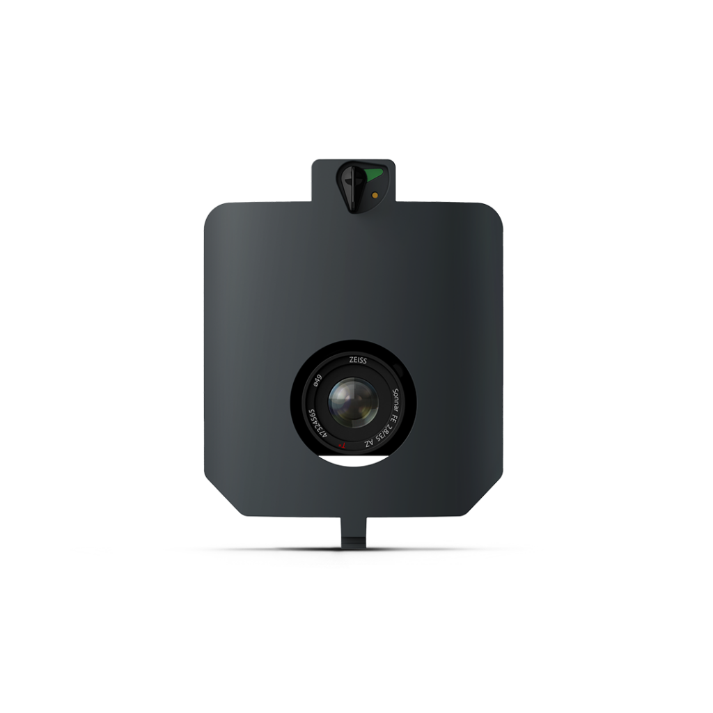
A high-resolution RGB inspection payload with telephoto optics designed to resolve millimetre-level surface detail, ideal for infrastructure assessment and critical asset inspections.
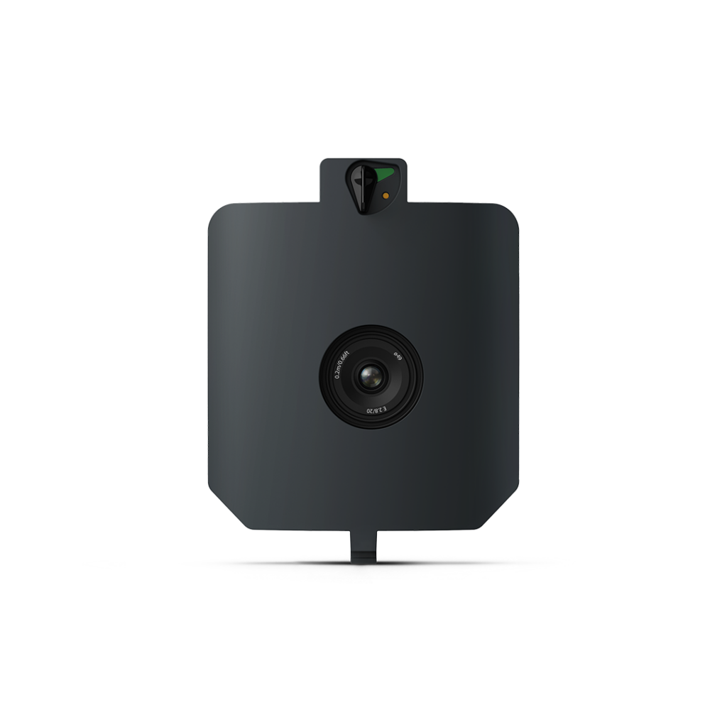
An affordable nadir-mounted 24 MP RGB sensor offering reliable aerial mapping with good ground coverage and solid photogrammetry performance for routine survey tasks.
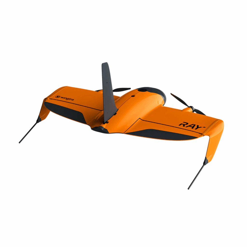
The drone made for faster, easier surveying