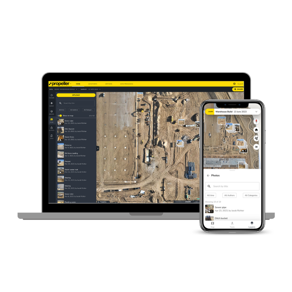
A cloud‑based site analytics and data platform that combines drone mapping, 3D visualisation, measurement tools, and project management capabilities to help teams map, measure, and manage worksites.
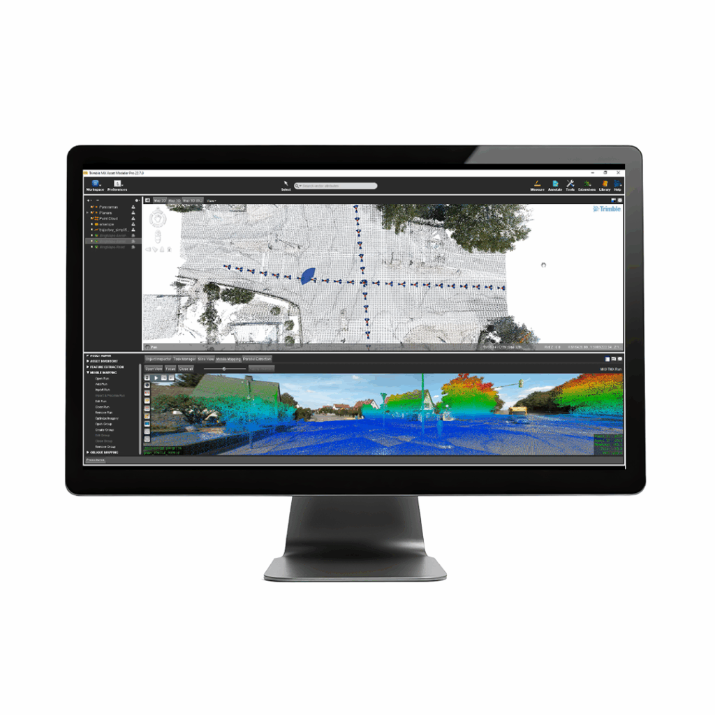
Trimble MX office software makes mobile mapping data processing and project management simple and efficient for easy, intelligent customer collaboration.
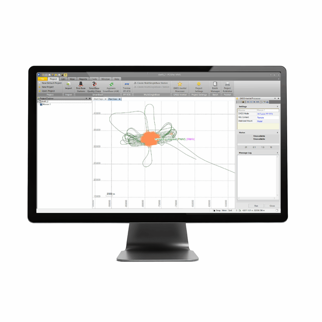
A start-to-finish workflow for direct georeferencing.
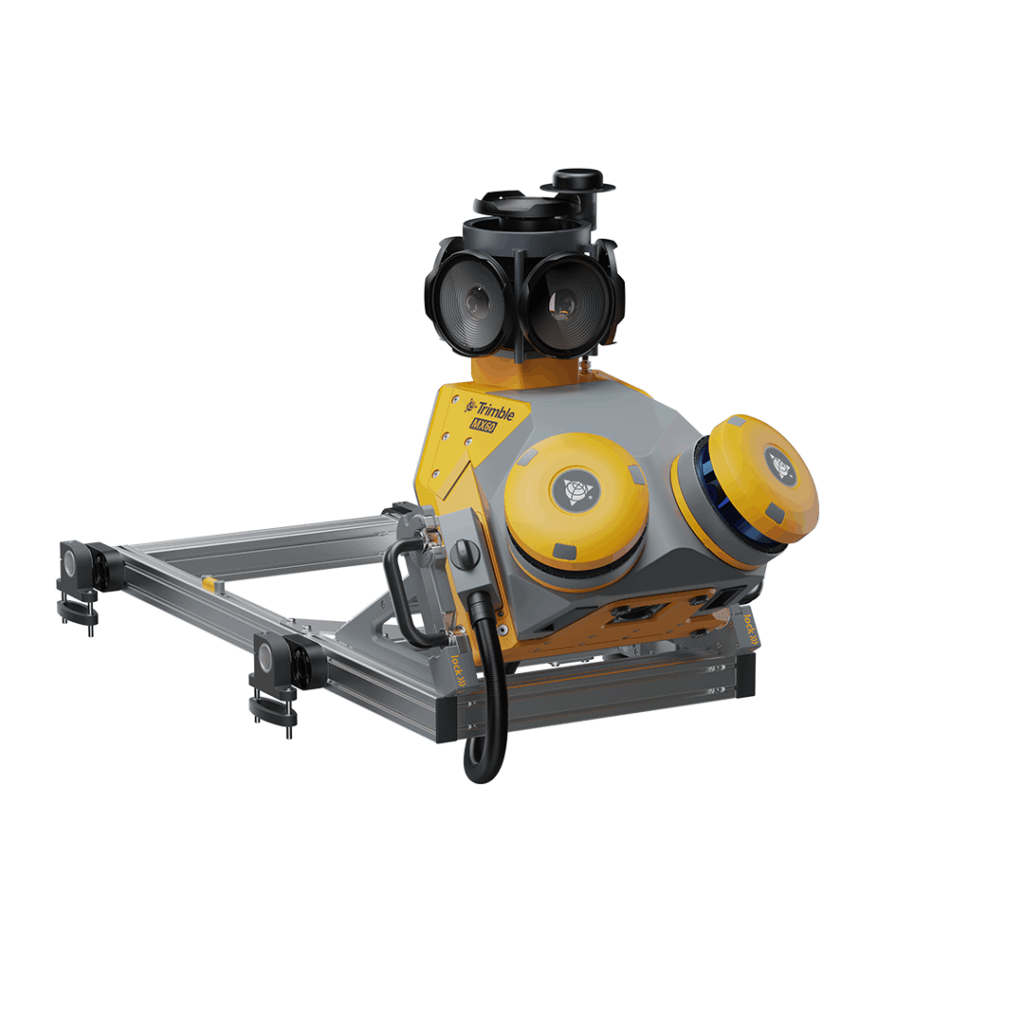
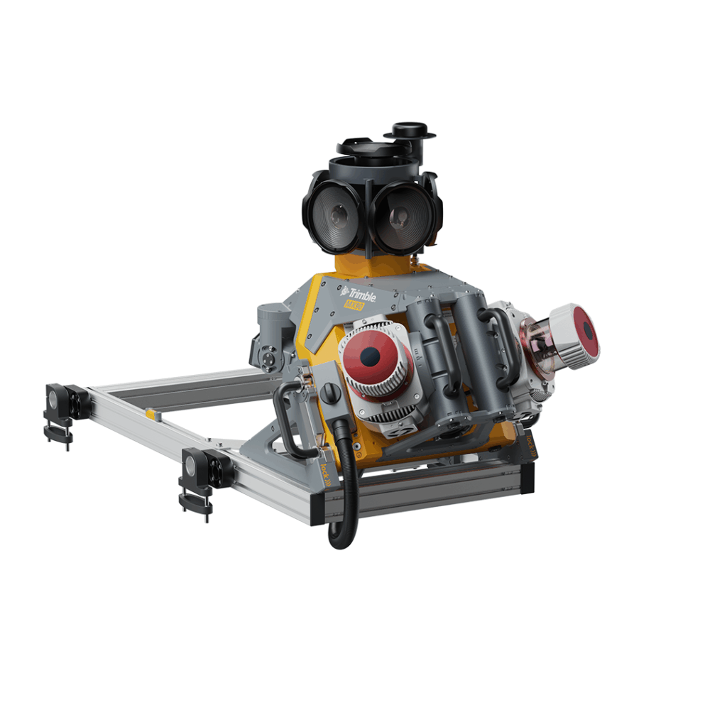
A flexible system – Core, Pro or Premium – with a downward facing camera and state of the art laser scanners
Capture, process, extract and share high density point clouds and rich, immersive imagery.