A fully autonomous visual and thermal drone solution for 24/7 inspections and critical operations.
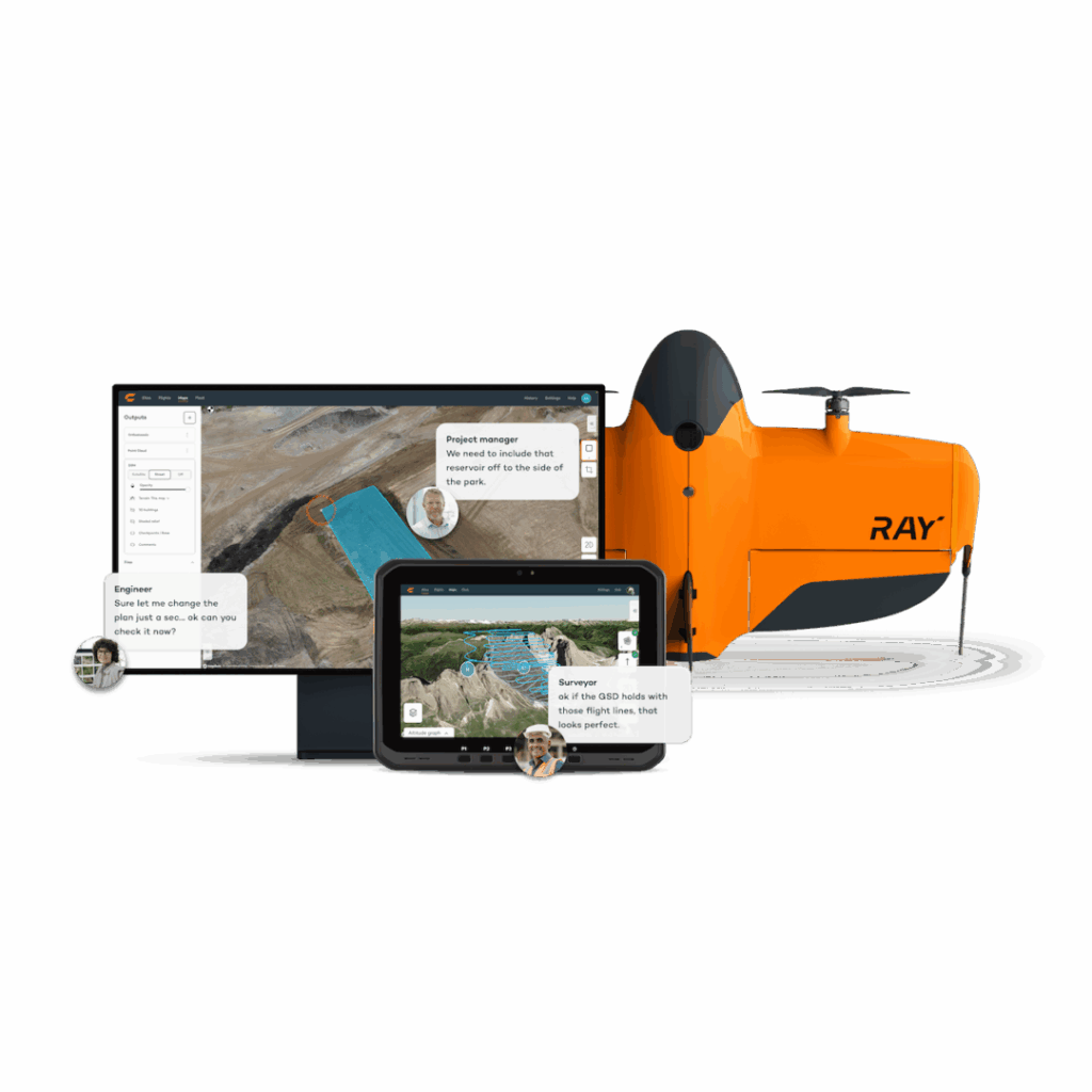
An autonomous drone-in-a-box solution for high-precision mapping, surveying, and visual inspections.
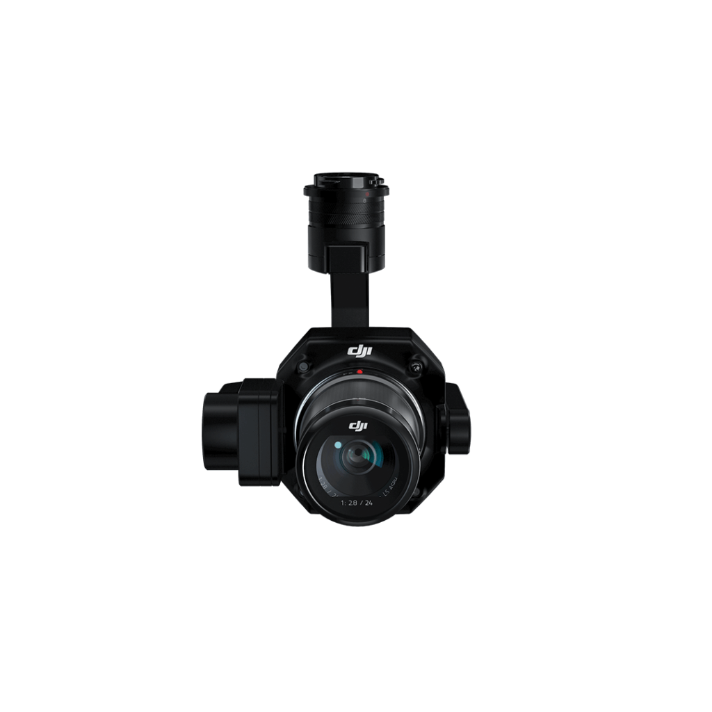
Advanced aerial photogrammetry
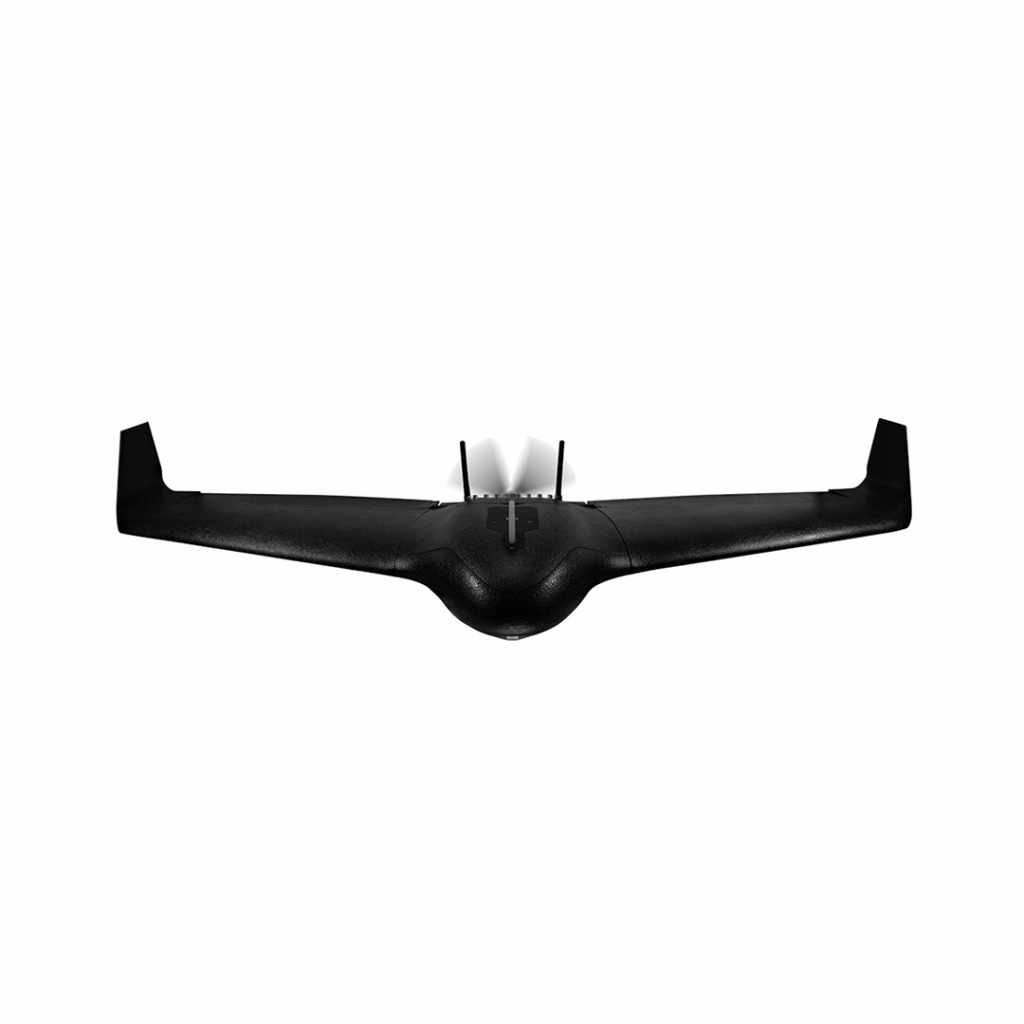
Real-time situational awareness UAS for HD live video insights into rapidly-changing environments
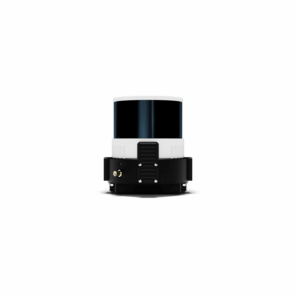
Drone LIDAR scanner
Efficiency through flexible full-frame photogrammetry
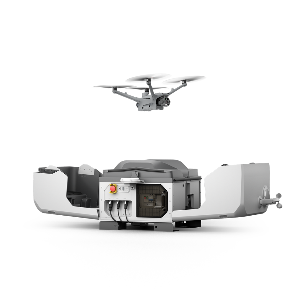
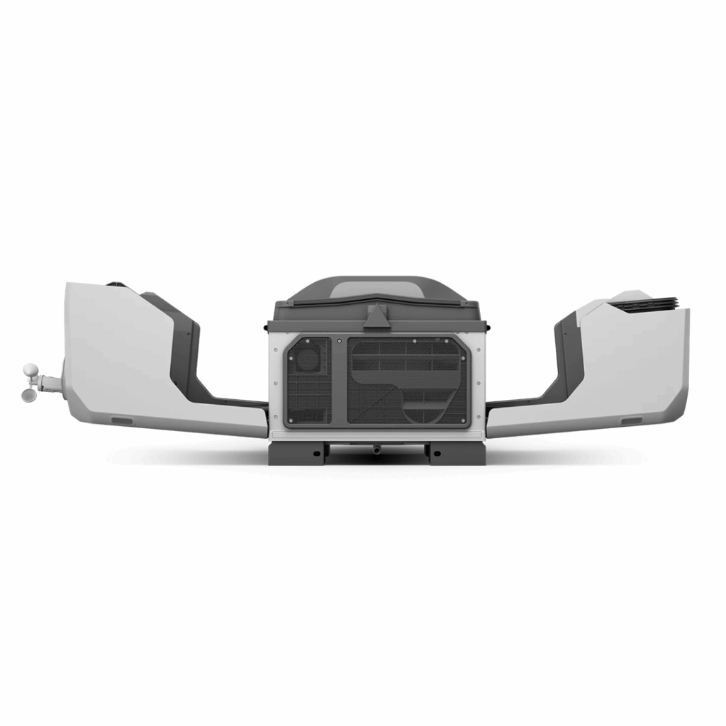
DJI's first dock adaptable for vehicle mounting
A user-friendly, powerful way to maximize drone data scalability