On a recent mobile mapping mission, KOREC employee Graham Beckford was lucky enough to pass not one, but two pre-historic jewels in England’s crown – Stonehenge and the Uffington White Horse. Despite dull and […]
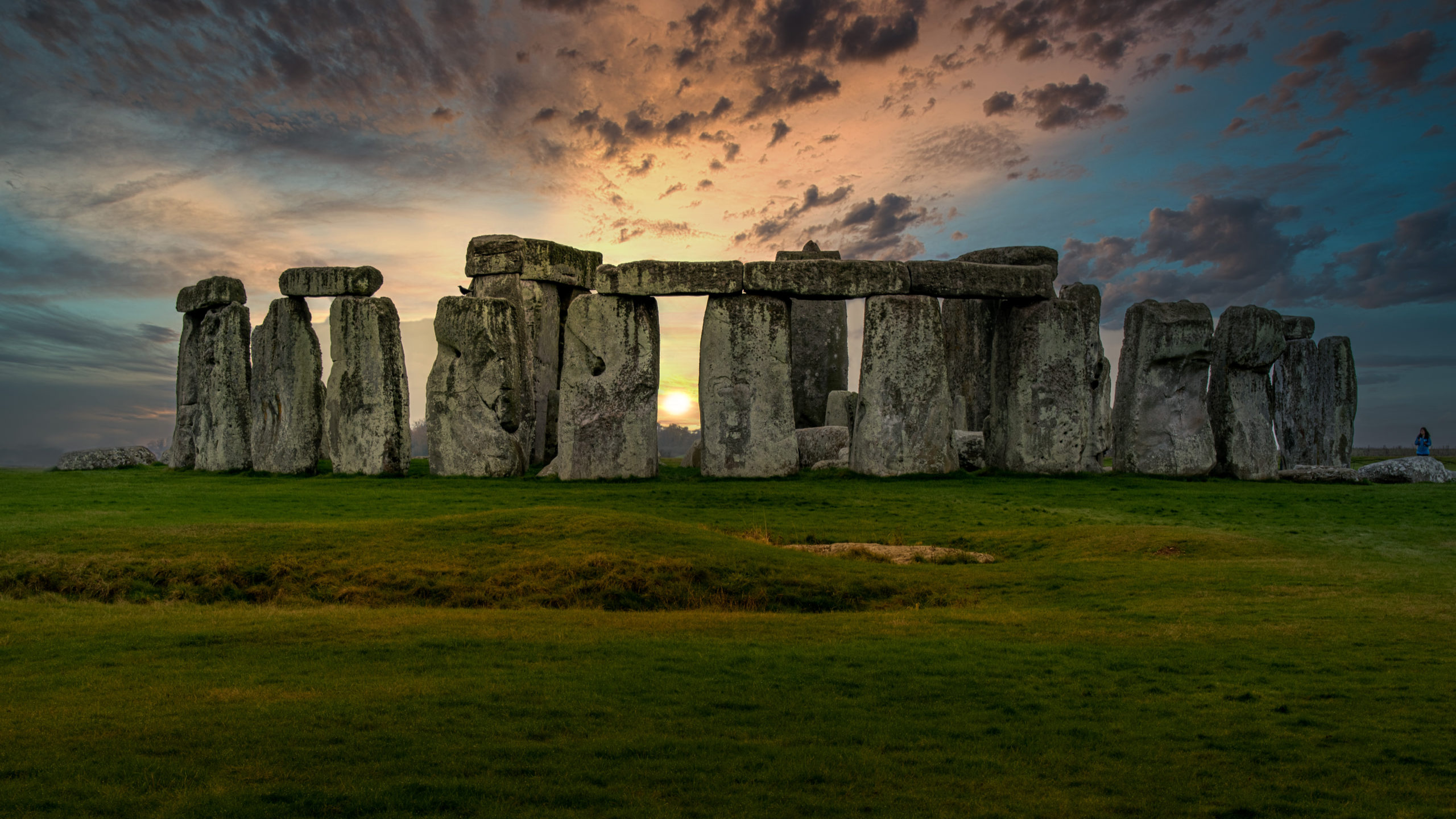
On a recent mobile mapping mission, KOREC employee Graham Beckford was lucky enough to pass not one, but two pre-historic jewels in England’s crown – Stonehenge and the Uffington White Horse.
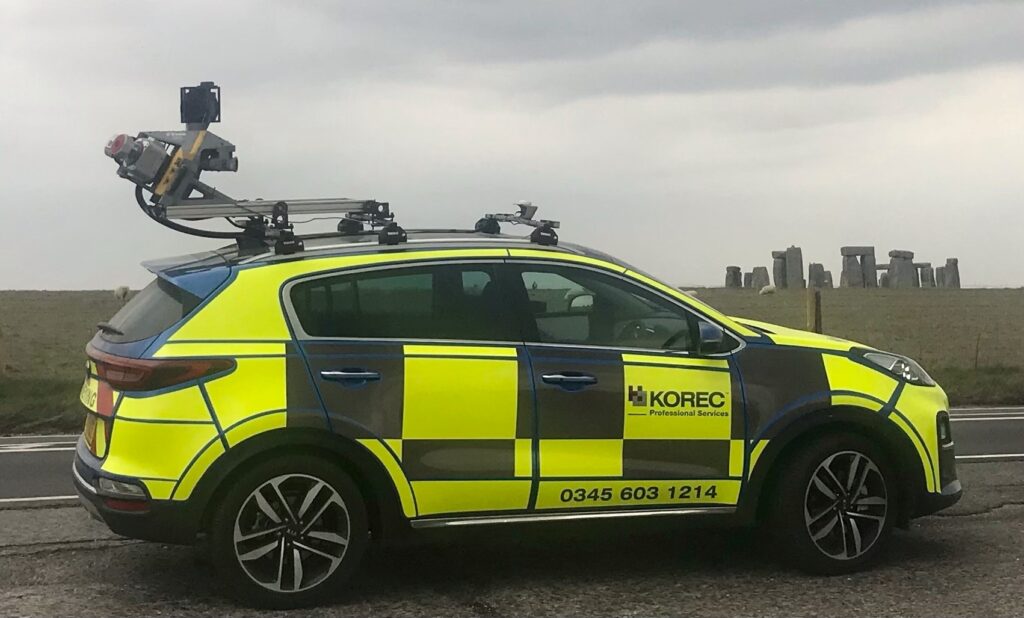
Despite dull and grey conditions, there was no missing the new Professional Services vehicle as it drove up alongside the ancient stone circle – one of Europe’s most recognisable and oldest monuments built around 5,000 years ago.
Mounted on top of the car is the Trimble MX9, a LiDAR based mobile mapping solution which rapidly captures pointclouds and images for highway surveys. A mobile mapping device such as the MX9 can be driven at normal speeds to capture survey data without the disruption of road closures.
Inclement weather persisted for Graham’s mission as he passed from Wiltshire and into Oxfordshire, specifically the Vale of White Horse to photograph the 3,000 year old hill monument – just visible in the background of this photograph.
Have you been on any mobile mapping adventures recently? Why not submit your pictures to our monthly KOREC Photo Competition by emailing marketing@korecgroup.com.
If you’d like to find out more about mobile mapping, our professional services division or anything else do not hesitate to contact us.
KOREC and Survey Solutions Group announce new authorised distributorship with Propeller
As a result of their recent successful integration into Cansel Group, KOREC Group and Survey Solutions Group (SSG) are pleased to announce that both companies are now authorised Propeller distributors...