Utilities
With deep knowledge of industry specifications such as PAS128 and HSG47, and decades of enabling critical infrastructure suppliers across the UK, KOREC is uniquely placed to meet the challenges of this complex industry.




With deep knowledge of industry specifications such as PAS128 and HSG47, and decades of enabling critical infrastructure suppliers across the UK, KOREC is uniquely placed to meet the challenges of this complex industry.
We’ve worked with the big names in the utilities industry including Cadent GAS, SSE, Lanes Group, Tri-Connect, Last Mile, Anglian Water and M Group. This means we understand the regulatory requirements of the industry and the stressful field conditions that can occur. That’s why our people are experts who are always on hand to help – no chatbots, just real people you can build a relationship with.
We also partner directly with Ordnance Survey to deliver the National Underground Asset Register (NUAR) – a single, secure, and standardised digital map of underground pipes, cables, and other buried assets across England, Wales, and Northern Ireland – giving users direct access to this critical information.
The KOREC utilities offering:

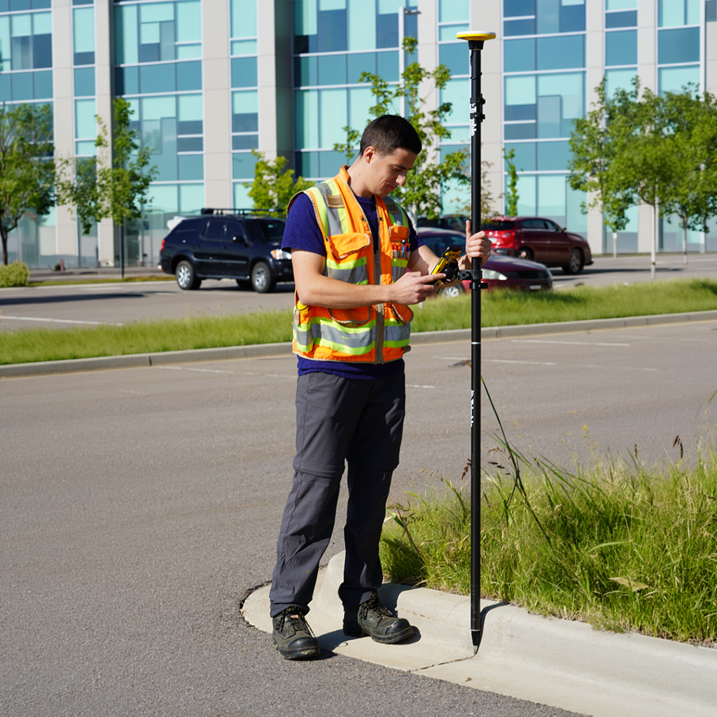
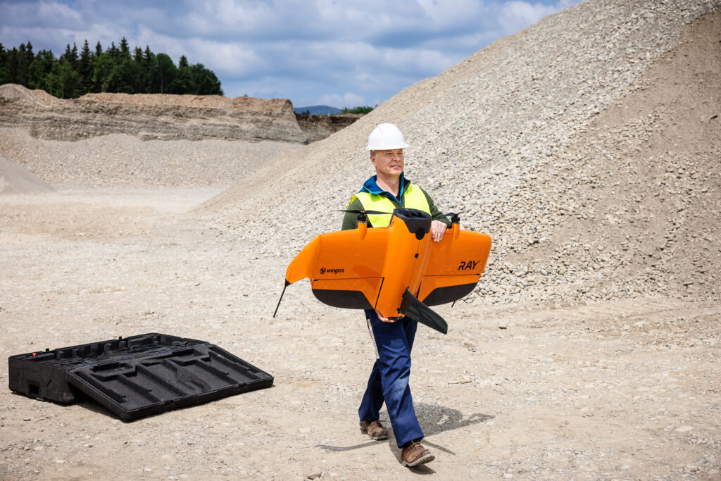
The KOREC portfolio for utilities includes drones, GNSS receivers, total stations, mobile mapping systems, detection equipment, laser scanners and industry specific field data capture software. Additionally, our Trimble GNSS receivers and total stations are fully compatible with the leading utility locators and Ground Penetrating Radar (GPR) systems.
“We’ve quadrupled our data understanding and are now finding solutions to flooding in just a fraction of the time it took previously.”
–Anglian Water Performance Managers, Chris Wray & Luke Murphy
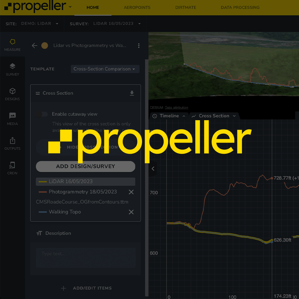
Soarvo connects field activity, asset records and compliance in a single workflow
Terrasolid is the go-to industry standard for point cloud processing
On-demand location precision
Trimble Catalyst, a flexible on-demand positioning system, integrates seamlessly with ArcGIS Field Maps and QGIS (via QField) workflows, and all our mapping solutions fully support Ordnance Survey data through OSGB36/British National Grid coordinates and OSTN15 transformations.
Utilities solutions
KOREC has a solution to make your projects efficient, effective, streamlined and sharable. Improve your data quality, make reporting easier, and streamline stakeholder engagement. Find out how KOREC customers use our technology to meet some very specific needs.
Click the links below to jump directly to your use case, or browse the full list below
Use Case
Use KOREC software for accessing digitised records in the NUAR database as part of your desk-top study. Use this study to enable site reconnaissance, add photographs and commentary.
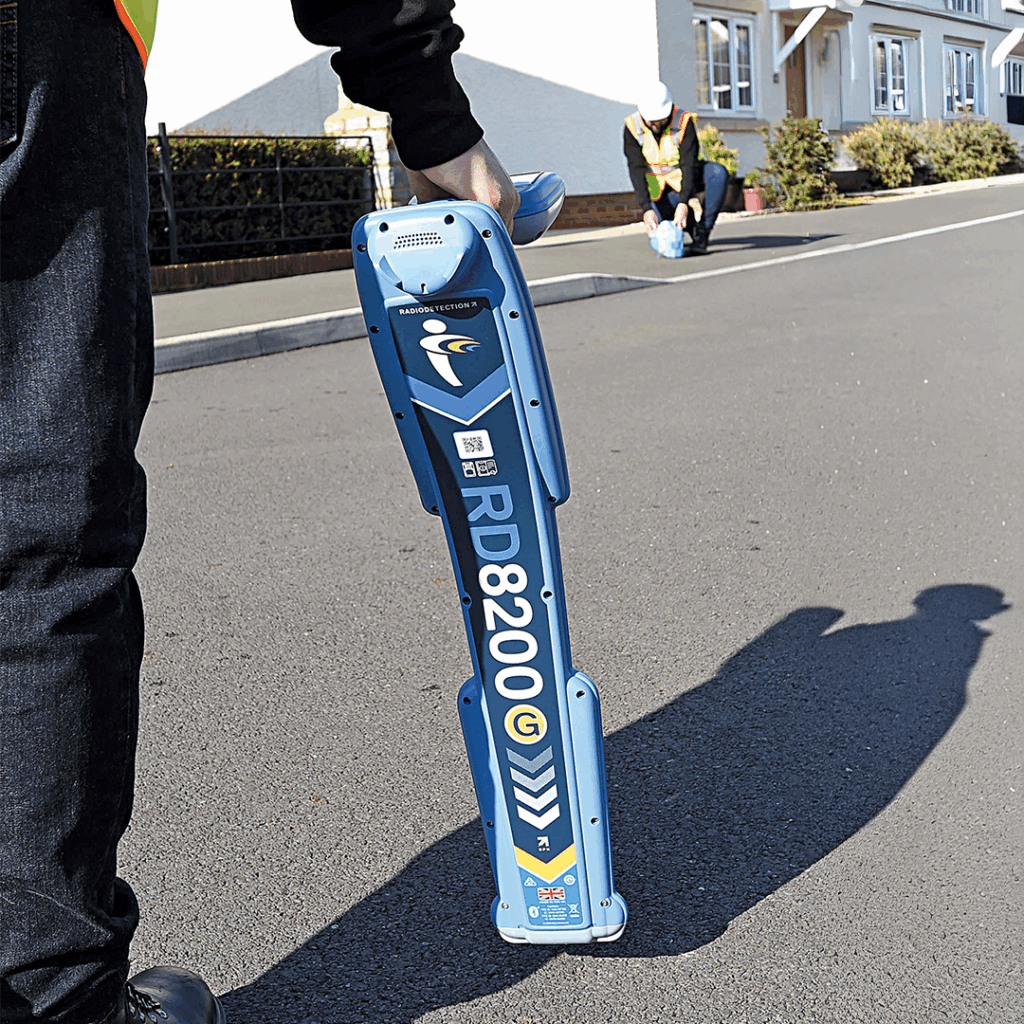
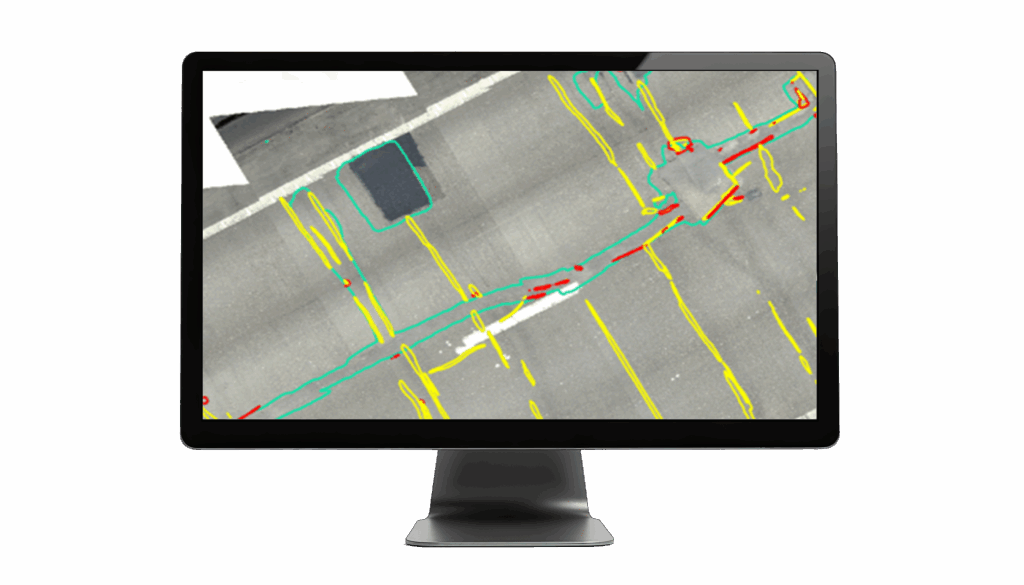
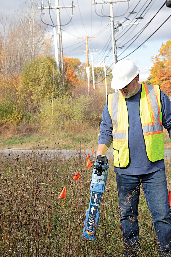
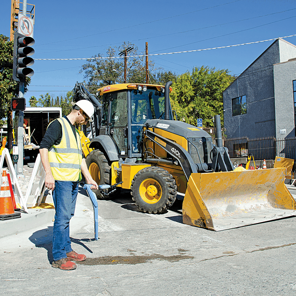
For accurate detection and mapping, use industry leading CAT and GPR systems paired with Trimble hardware and office solutions to produce deliverables.
KOREC solutions empower you to comply with the requirements outlined in PAS128.
Smart application of Trimble’s AR SiteVision technology revolutionises identifying underground utility assets long after the completion of a PAS128 Underground Utility Survey.
“Visually, the system is really nice to look at and you can see what something is, where it is and exactly what it looks like in real life, very different to a PDF! It couldn’t be easier to use, one tap and you’re connected and ready to go. Just walk 10 metres and you’re fully aligned with the model in exactly the right place. This will definitely revolutionise the way people look at utility surveys on site.”
Mick Dixon, Managing Director, Castle Keep Survey
Read the case studyUse Case
Whether you are working with pipelines, telecommunications & fibre optics, transmission & distribution or wastewater, KOREC technology enables exact setting out of position and depth with real-time data shared by field and office. This reduces the risk of costly errors and miscommunication by delivering the precise information needed for compliance.

How to reliably capture accurate survey data and transform it into intelligence for increased productivity and improved decision making, such as visually showing locations where vegetation could encroach the network and impact connectivity.
Read the articleUse Case
Laser scanning, mobile mapping, drone inspections and monitoring help utilities manage assets over the long term. These tools make it possible to track corridor condition, spot encroachment and measure movement or structural change with both ease and accuracy. Combined with cloud-based sharing and reporting, maintenance workflows can be streamlined and shown to demonstrate compliance with regulations such as MUDDI and HSG47.
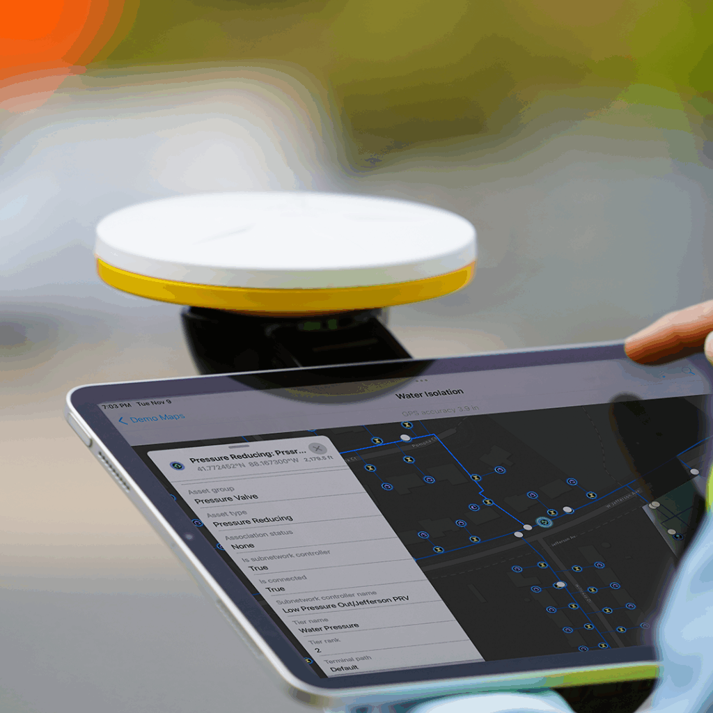
Digitising complex manhole cards using customised templates to improve data quality and cut office processing time by 70%.
“In the past it would take us around one day to digitise forty manhole cards with all the information we collect. We can now cut this time by 70%”
Chris Alcock, Survey Manager, RPS
Read the case studyCost-effective delivery of the precise accuracies required to capture drainage levels on a Yorkshire Water project.
“To be able to capture data from site, with 1-2cm accuracy, using just a mobile app and a Trimble Catalyst is second to none.”
Andrew Stephenson, Design Manager, M Group
Read the case studyExplore our top-rated utilities equipment, chosen by professionals for its precision, reliability, and performance in the field.
Utilities information
KOREC has decades of experience enabling critical infrastructure suppliers across the UK, with deep knowledge of industry specifications including PAS128 and HSG47. We work with major utility asset owners and sub-contractors such as Cadent Gas, SSE, Lanes Group, Anglian Water and M Group (Water), combining GNSS, detection, mobile mapping and GIS software with hands-on regulatory expertise.
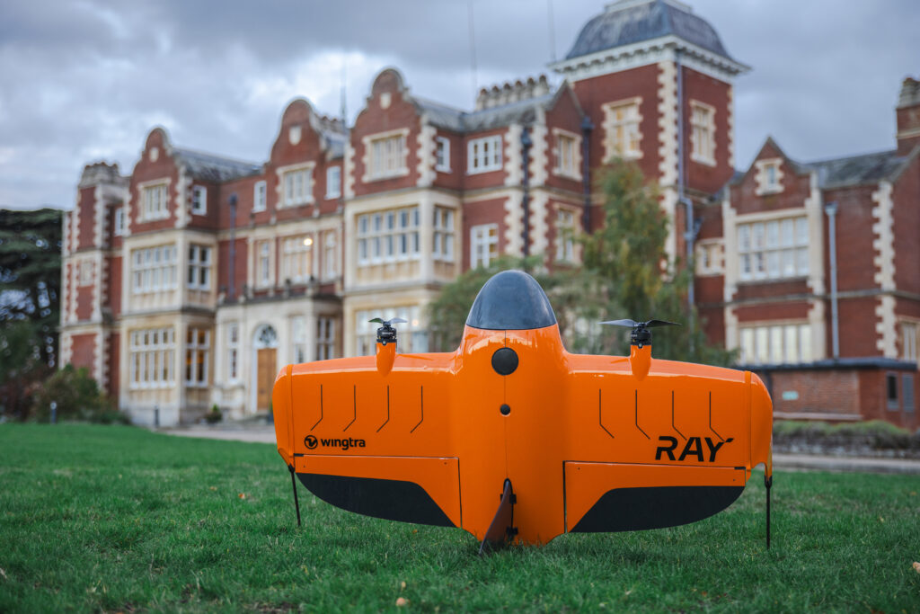
KOREC is one of Europe’s largest Trimble distributors and also partners with drone providers DJI and Wingtra, Cable Avoidance Tool (CAT) provider Radiodetection, and asset-management software provider Soarvo. This combination gives utility customers access to GNSS, detection, mobile mapping and compliance software from a single integrated supplier.
The KOREC utilities portfolio includes drones, GNSS receivers, total stations, mobile mapping systems, CAT and GPR detection equipment, laser scanners and industry-specific field data capture software. Trimble GNSS receivers and total stations are fully compatible with leading utility locators and Ground Penetrating Radar systems, supporting both desk-top and field workflows.
KOREC adds workflow design, consultancy, training and UK and Ireland-based support around the hardware, backed by real people rather than chatbots. Our case studies, from Anglian Water’s flood investigations to RPS’s manhole digitisation project, show how this support translates into measurable time and cost savings in practice.
NUAR, the National Underground Asset Register, is a single, secure, standardised digital map of underground pipes, cables and buried assets across England, Wales and Northern Ireland. KOREC partners directly with Ordnance Survey to give utility customers direct access to NUAR data as part of desk-top studies and site planning.
Yes. KOREC solutions support every stage of a PAS128 survey, from accessing digitised NUAR records for desk-top study through to field detection using industry-leading CAT and GPR systems paired with Trimble hardware. Our Castle Keep Survey case study shows Trimble SiteVision AR being used to verify underground assets after survey completion.
Whether working with pipelines, telecommunications and fibre optics, transmission and distribution, or wastewater, KOREC technology enables exact setting out of position and depth with real-time data shared between field and office. This reduces costly errors and miscommunication, delivering the precise information utility contractors need for compliance.
Yes. Laser scanning, mobile mapping, drone inspection and monitoring help utilities track corridor condition, spot encroachment and measure structural change over time. Combined with cloud-based sharing and reporting, these tools streamline maintenance workflows and help demonstrate compliance with regulations including MUDDI and HSG47.
Soarvo is a software platform distributed by KOREC that connects field activity, asset records and compliance in a single workflow. It brings GIS data, field inspections, asset records and compliance workflows into one connected system, reducing duplication between field teams, office teams and asset registers.
Yes. Alongside equipment supply, KOREC offers technical support, product and drone training, free-to-attend webinars and regular technical days around the country, plus our prestigious two-day KOREC and Trimble User Conference (KTUC). Support is delivered by real people who build long-term relationships with utility customers, not chatbots.
Trimble Catalyst delivers affordable, sub-10cm regulatory positional compliance, with M Group (Water) achieving 1-2cm accuracy in the field using just a mobile app and a Catalyst receiver on a Yorkshire Water drainage project. Customised field data capture templates have also cut manhole digitisation time for RPS by around 70%.
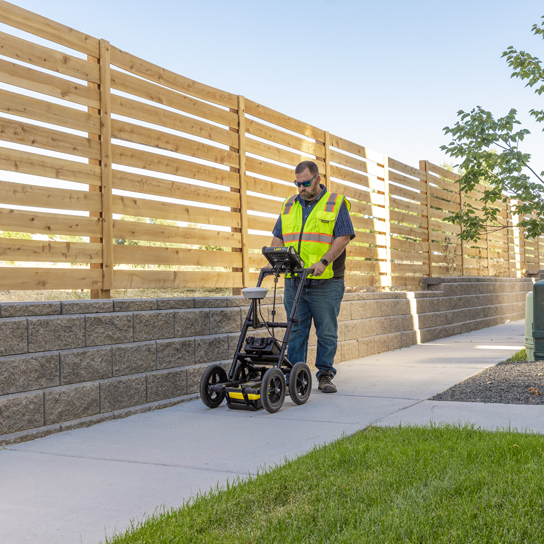
Discover how to connect GPR and sonar equipment to Trimble software
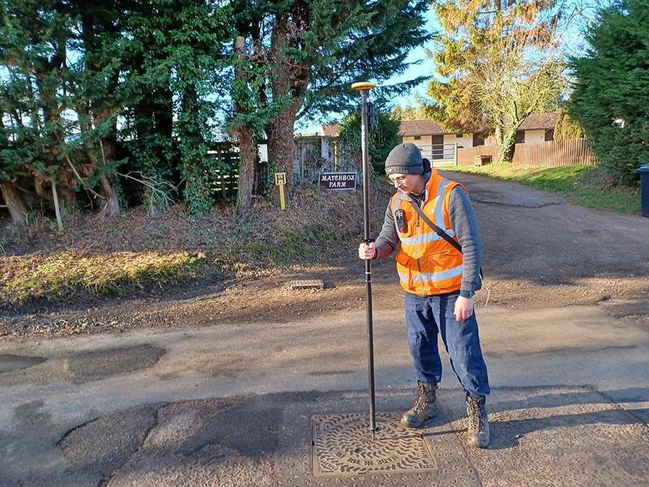
How Anglian Water Services is solving complex and long-standing flooding problems through a data led approach
Ask a question
At KOREC, TRUST is at the heart of everything we do. Our promise is simple: to be Transparent, Reliable, Understanding, Supportive, and Timely in every interaction. That means being open and honest with you, delivering on our word, listening to your needs, and always being there when you need a hand. We know your time matters, so we focus on getting things right quickly and efficiently. For us, building trust isn’t just a promise — it’s the way we create lasting partnerships.
Talk to us to discover how easy it can be to bring utilities infrastructure asset management into your organisation.