Highways
KOREC has been a trusted partner of the highways sector for over 30 years. Discover how we help the likes of National Highways, Costain and Skanska reduce rework, integrate data for better decisions, and power safer field operations.


KOREC has been a trusted partner of the highways sector for over 30 years. Discover how we help the likes of National Highways, Costain and Skanska reduce rework, integrate data for better decisions, and power safer field operations.
Explore our top-rated highways products, chosen by professionals for its precision, reliability, and performance in the field.
How we can help
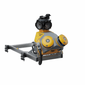
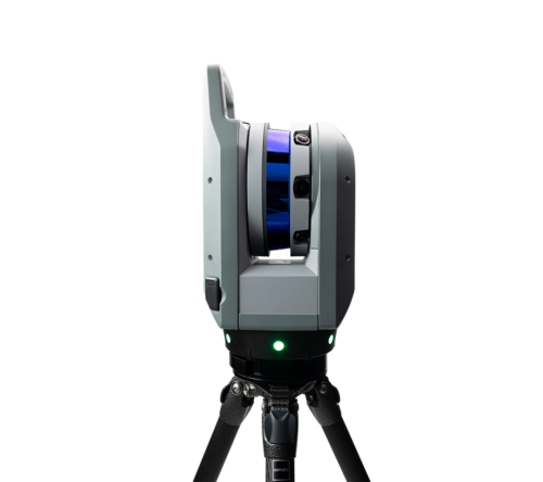
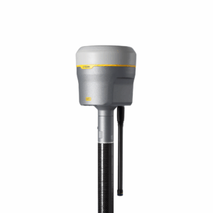
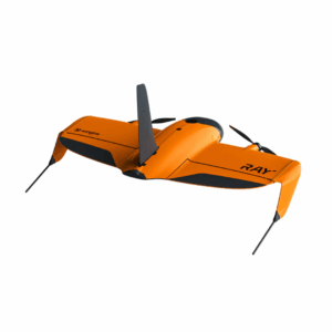
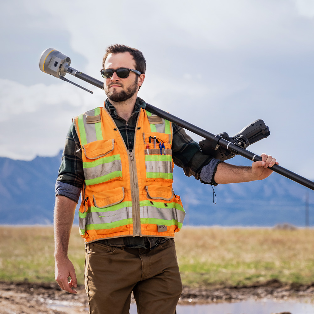
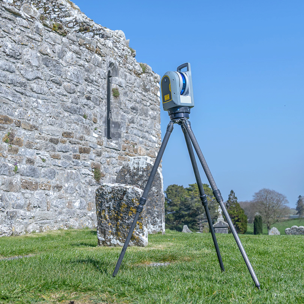
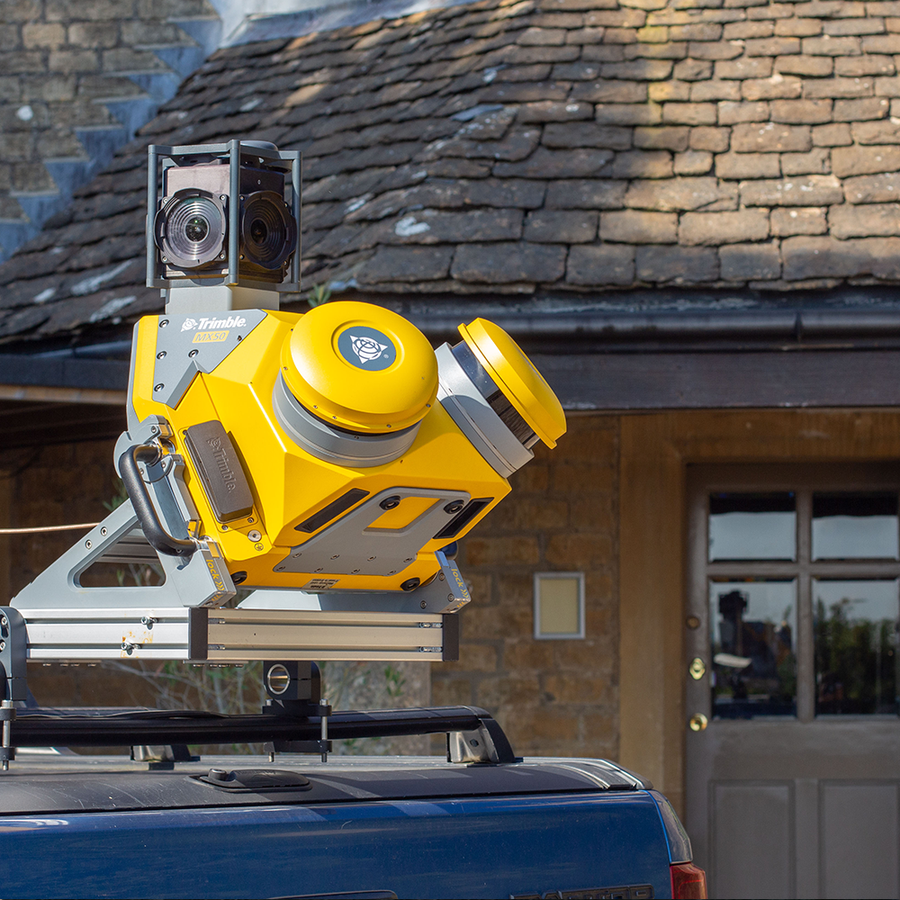
With rugged and reliable Trimble geospatial hardware, flexible and capable UAV systems, accurate laser scanning, easy to use GPR, Augmented Reality and cost-effective mobile mapping systems, we empower you to work smarter in the field and the office to better plan, build and maintain highways. At the core of KOREC’s highways solutions is risk reduction and cost savings. The use of technology for mapping, monitoring and managing means less need for crews to work near live traffic and less chance of utility strike. The interconnected ecosystem meanwhile, powered by accurate data, means less rework and optimised material use.
KOREC’s commitment to you goes beyond sales – our seasoned experts support you through every stage of your projects. Whether you’re looking for strategic guidance on integrating systems, hands-on equipment training, or just a quick question, you can trust KOREC.
Project efficiency starts at the beginning, with data accuracy and availability being key. In the survey phase, Trimble GNSS and total stations capture accurate terrain models for route design, and UAVs with LiDAR and photogrammetry produce high-resolution orthomosaics and 3D surface models for corridor planning. Alignment planning is made easy with Trimble Business Center which integrates aerial data, control surveys, and CAD for alignment design. GPR systems detect underground utilities before excavation, hugely reducing strike risk and rework. For environmental & drainage studies, UAVs excel at floodplain mapping and vegetation monitoring, with 3D terrain modelling powering drainage systems and cut/fill balances.
Data collected in this way can be uploaded and viewed in Trimble Augmented Reality systems for visualisation in the field.
Related product categories
The Trimble connected ecosystem integrates hardware and software across field and office, so you can be sure that what happens on-site is following the most up-to-date designs. Trimble’s high-precision GNSS powers machine control on graders, dozers and pavers, as well as real-time stakeout for accurate earthworks and structure locations. On-going as-built verification is effortlessly achieved by UAV photogrammetry for frequent site progress surveys, digital twin creation and automatic volumetric calculations. GPR quickly confirms that utilities are undisturbed during construction and maps existing pavement layers for rehabilitation projects.
Related product categories
When it comes to asset management, your bridge and road inspections happen without lane closures thanks to UAVs with high-resolution sensors, and full GIS and GNSS integration for signs, barriers, culverts and other highway assets powers easy management and long-term monitoring. Continuous data from the field integrates easily into a GIS and BIM environment for complete lifecycle management.
Related product categories