Go beyond the spec sheet to unlock your perfect 3D Laser Scanning solution with these five important questions
The third question in our 'five important questions blog' is......


The third question in our 'five important questions blog' is......
The third question in our ‘five important questions blog’ is……
3. Survey grade self-levelling –optional extra or ‘must have’ feature?
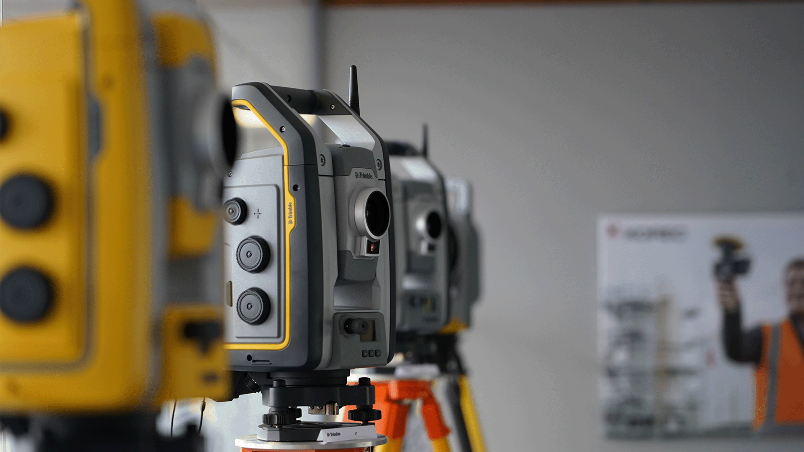
Both the Trimble X7 and X9 have a great survey grade self-levelling feature which level the data up to a 3” arc.
But what exactly does that mean in practical terms?
Imagine you are scanning a multi-storey building that’s up to 10m in height, using the X7 or X9 you will have a pointcloud that will deviate from the vertical at just 0.1 of a millimetre which is perfectly acceptable. Likewise, over a longitudinal stretch, for example a road, the difference in level over a 20m length might be 0.3 of a millimetre, again, perfect acceptable, all because of the 3” arc.
Here’s how that 3” compares to other manufacturers levelling:
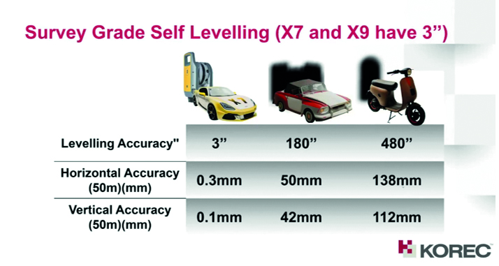

Yes, the levelling accuracy deviates heavily. It’s important to understand how important it is that your data is levelled, either with the X Series survey grade self-levelling function or by using one of two options:
Top tip: Having survey grade self-levelling ensures the accuracy of your pointcloud and also saves you time. For example, if you’re undertaking 150 scans in a day you can save an hour of site time, 5 hours a week.
Keep following this blog to see our next three questions!
Click here for the answer to our previous question:
2. What’s more important to you, scan time or total time to project deliverable?