GNSS Surveying & Setting Out (NI)
Based on years of training experience this course has been designed to cover the essentials of surveying and setting-out for site engineers using GNSS.
more infoTotal Station Surveying & Setting Out (NI)
Based on years of training experience this course has been designed to cover the essentials of surveying and setting-out for site engineers using Trimble Total Stations.
more infoIntroduction to Laser Scanning (NI)
This course provides a practical introduction to capturing survey data using a Laser Scanner. Covering setup and measurement strategies, registration and georeferencing of scan data to Control coordinates.
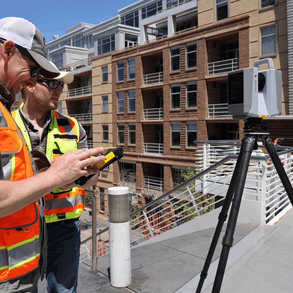
more infoIntroduction to Laser Scanning (UK)
This course provides a practical introduction to capturing survey data using a Laser Scanner. Covering setup and measurement strategies, registration and georeferencing of scan data to Control coordinates.
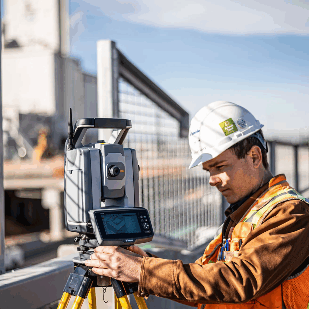
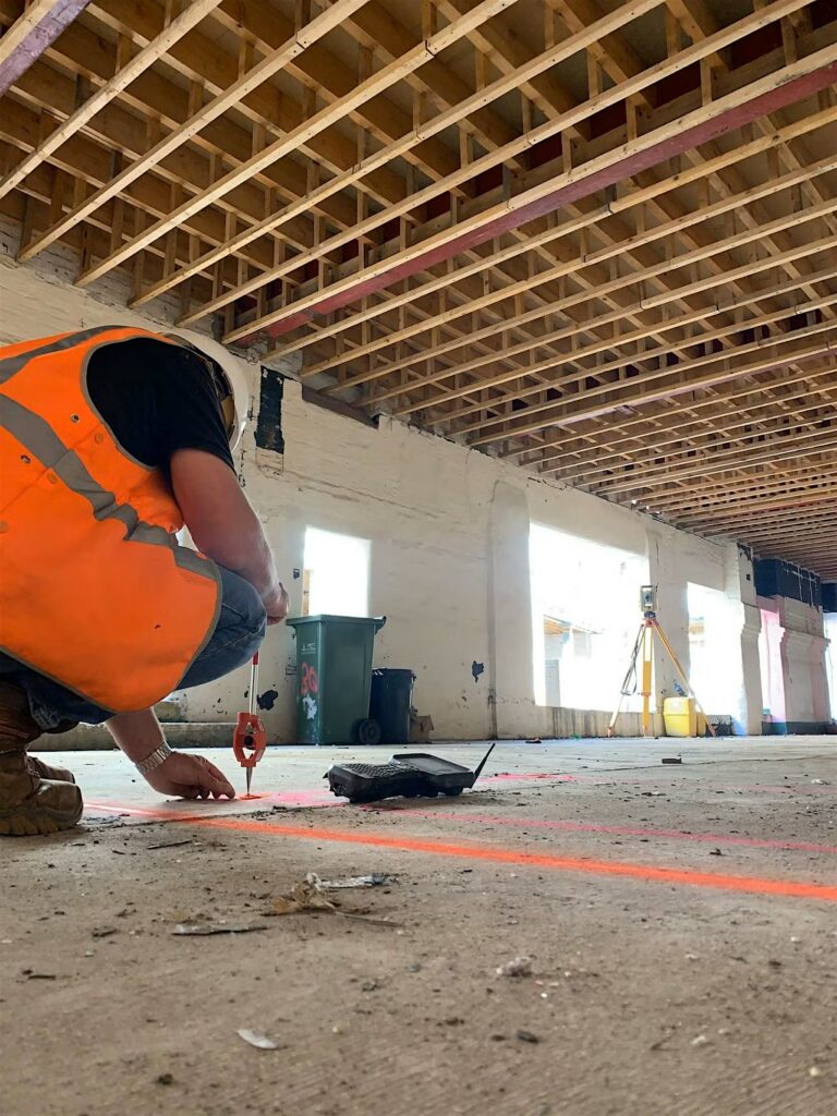
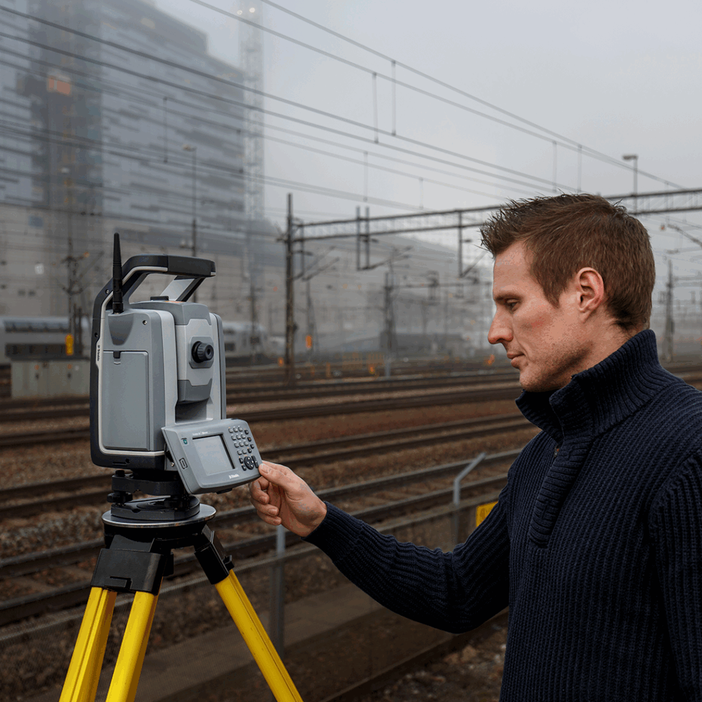
more infoTotal Station Surveying & Setting Out
Based on years of training experience this course has been designed to cover the essentials of surveying and setting-out for site engineers using Trimble Total Stations.
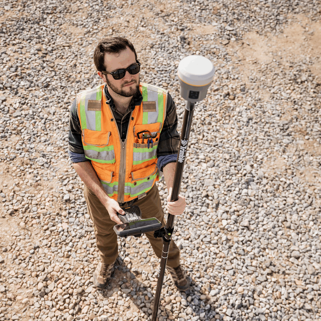
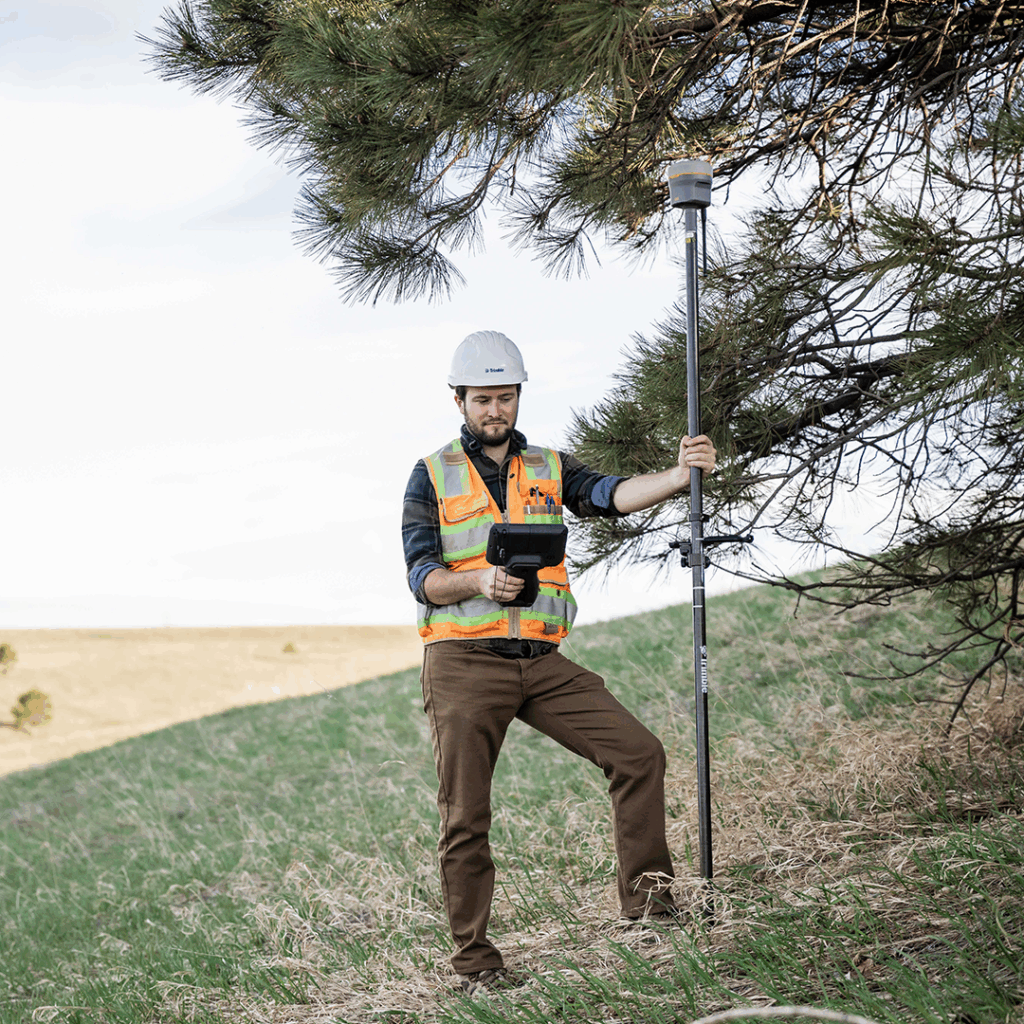
more infoGNSS Surveying & Setting Out
Based on years of training experience this course has been designed to cover the essentials of surveying and setting-out for site engineers using GNSS.
more infoTrimble GEDO – IMS
Learn how to survey rail track using the Trimble GEDO system with Rec software.
more infoTrimble GEDO – Vorsys
A course that delivers practice of pre and post tamp surveys using the twin Track Measurement Device solution that is GEDO Vorsys.
more infoTrimble GEDO – Track
Learn how to survey rail track against an alignment using the Trimble GEDO system with Track software.
more infoTrimble GEDO – Rec Scan
Learn how to perform a laser scan track survey using the Trimble GEDO system with Rec software.
more infoTrimble GEDO – Rec
Learn how to survey rail track using the Trimble GEDO system with Rec software.
more infoDrone Survey – GNSS Setup, Data Processing and Product Creation
Learn how to configure a GNSS Base for real time and post processing drone systems, post process aerial survey data using Pix4D and create outputs.
more infoGNSS Survey & Data Processing
This course is for surveyors and engineers who need to gain a greater understanding of GNSS theory, survey and data processing.
more infoLaser Scanning for Collision Investigation and Trimble Forensics
This course provides practical training on using a Trimble X Series (X7/X9) laser scanner with Trimble Capture field software for the purposes of surveying a collision scene. Trimble RealWorks and…
more infoTrimble RealWorks – Measured Building Survey
This one-day course focuses on the functions within RealWorks used to create data for the drawing of Measured Building Surveys.
more infoTrimble RealWorks – Introduction
This course is suitable for those new to processing scan data using Trimble RealWorks. It is assumed that those attending are familiar with the concept of laser scanning for the…
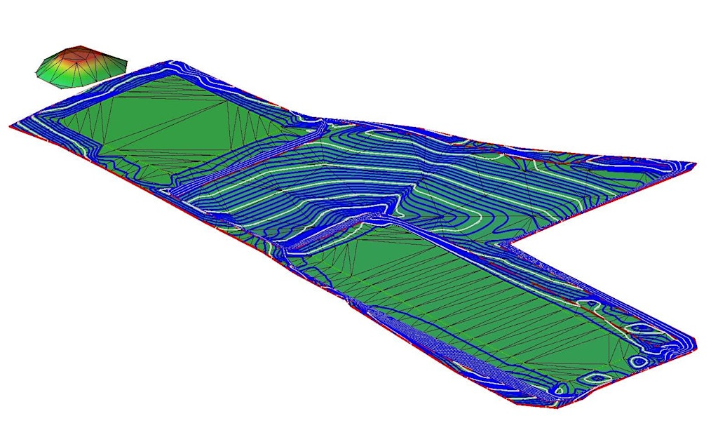
more infoTrimble Business Center – Earthworks Advanced
Learn how to use Trimble Business Center to create Site Take Off reports of volumes and quantities.
more infoTrimble Business Center – Rail Data Preparation for Machine Control
Learn how to use Trimble Business Center to import rail design data from LandXML files.
more infoTrimble Access – Monitoring Module
The Trimble Access Monitoring Module training course serves those who need to perform monitoring surveys using a Total Station
more infoTrimble Access – Roads Module
This course provides practical training on working with road design data and performing setting-out tasks using Trimble Access and Trimble Business Center
more infoTrimble Business Center – Survey & Construction Workflows
This three-day course allows time to go through common survey and construction workflows using Trimble Business Center
more infoTrimble Business Center – Earthworks Basics
This training course provides an introduction to Trimble Business Centre (TBC) for earthworks applications
more infoTotal Station for Construction CITB (GET3407)
Get hands-on training in surveying and setting out with this practical, CITB Assured course
more infoIntroduction to Laser Scanning (Ireland)
This course provides a practical introduction to capturing survey data using a Laser Scanner. Covering setup and measurement strategies, registration and georeferencing of scan data to Control coordinates.
more infoIntroduction to Land Surveying
Designed for assistant or junior surveyors and site engineers who are beginning to conduct their own surveys.
more info