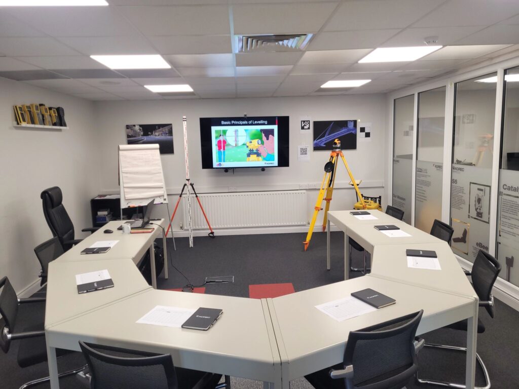
Introduction to Laser Scanning
This course provides a practical introduction to capturing survey data using a Laser Scanner. Covering setup and measurement strategies, registration and georeferencing of scan data to Control coordinates.


This course provides a practical introduction to capturing survey data using a Laser Scanner. Covering setup and measurement strategies, registration and georeferencing of scan data to Control coordinates.
KOREC Ireland is delighted to announce our new Introduction to Laser Scanning course! Based on years of training experience, this course has been designed to cover the essential principles and practical application of laser scanning for surveyors and site engineers using the Trimble X9 laser scanner and Trimble Perspective software.
As an introductory course, it is open to all, with no previous laser scanning experience required. This course is accredited by Engineers Ireland for Continuing Professional Development, and a Certificate of Competence will be issued upon completion.
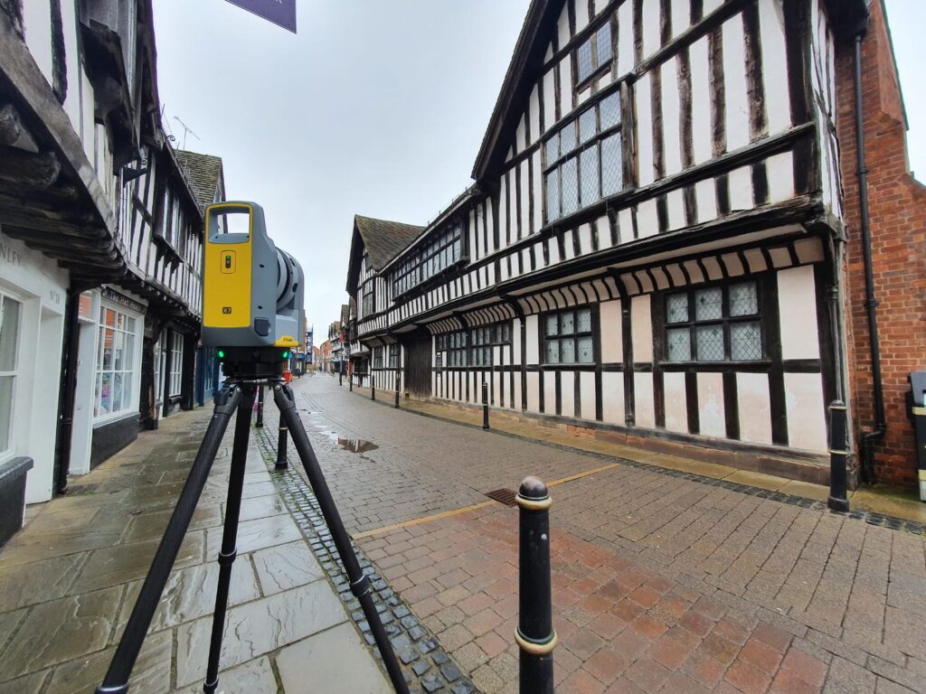
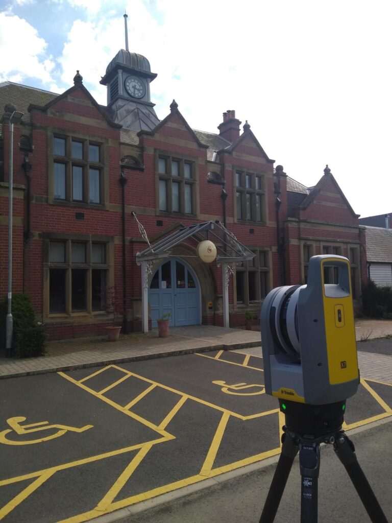
Laser Scanning Demonstration
Trimble Perspective Emulator Practical
Trimble Business Centre Demonstration