Shop Accessories
Delivering the highest standards in accessories through choice, reliability and customer support.


Delivering the highest standards in accessories through choice, reliability and customer support.
Product spotlight
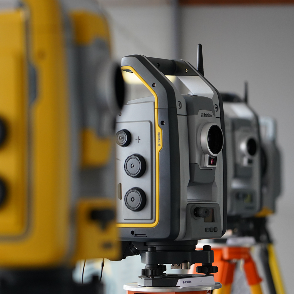
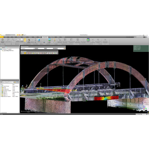
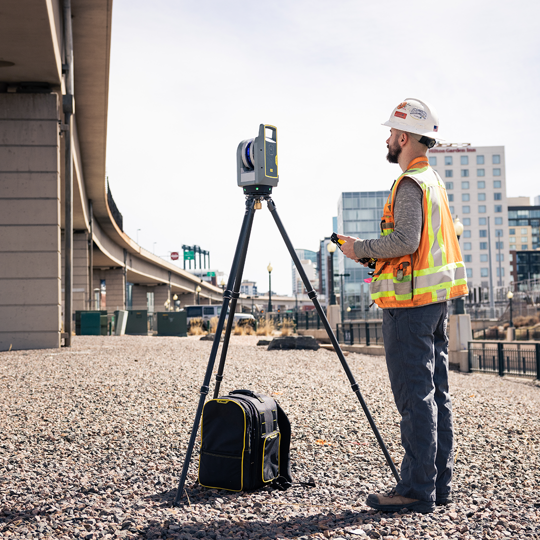
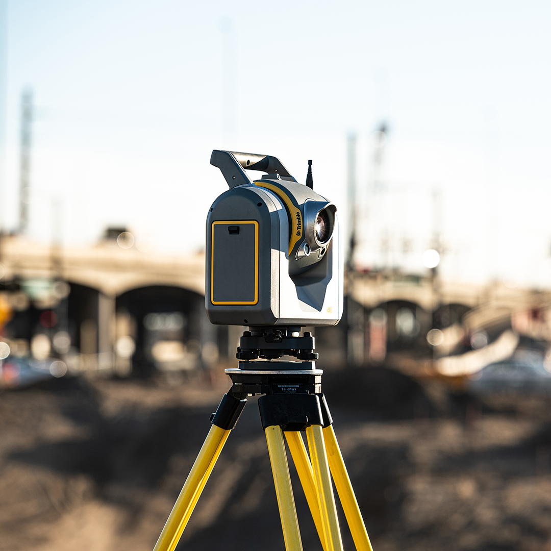
The Trimble X9 sets a new standard in 3D laser scanning, offering on-site registration, automatic calibration, and high-speed data capture – all at survey-grade accuracy.

Product spotlight
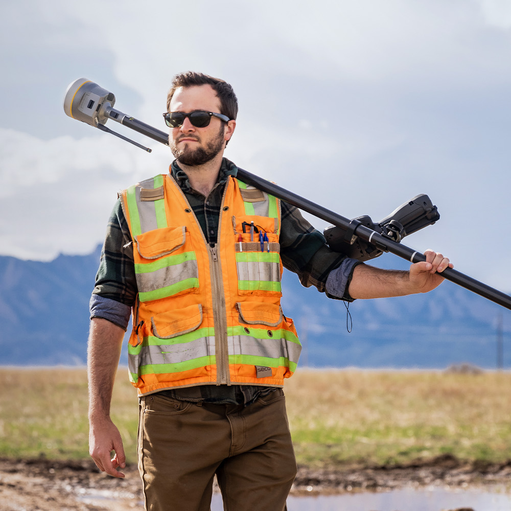
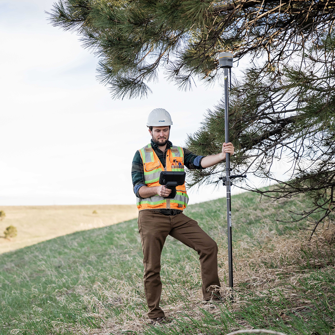
The R980 is the gold standard of GNSS, with unbeaten accuracy and speed. Get the job done quicker with up to 30% productivity. Now available in our hire fleet.
SPECIAL OFFER
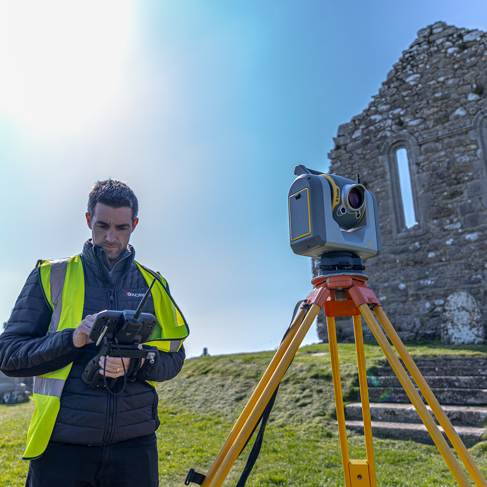
Working smarter has never been easier. Save both time and money with a combined scanner and total station – delivering high accuracy and surgical precision.

case studies
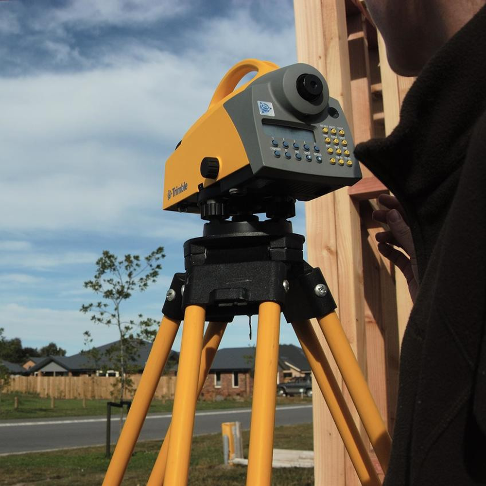
The reliability of the Trimble X9 Core for 3D laser scanning has made it a go-to tool for the Royal Agricultural University, both in preparing the next generation of land […]
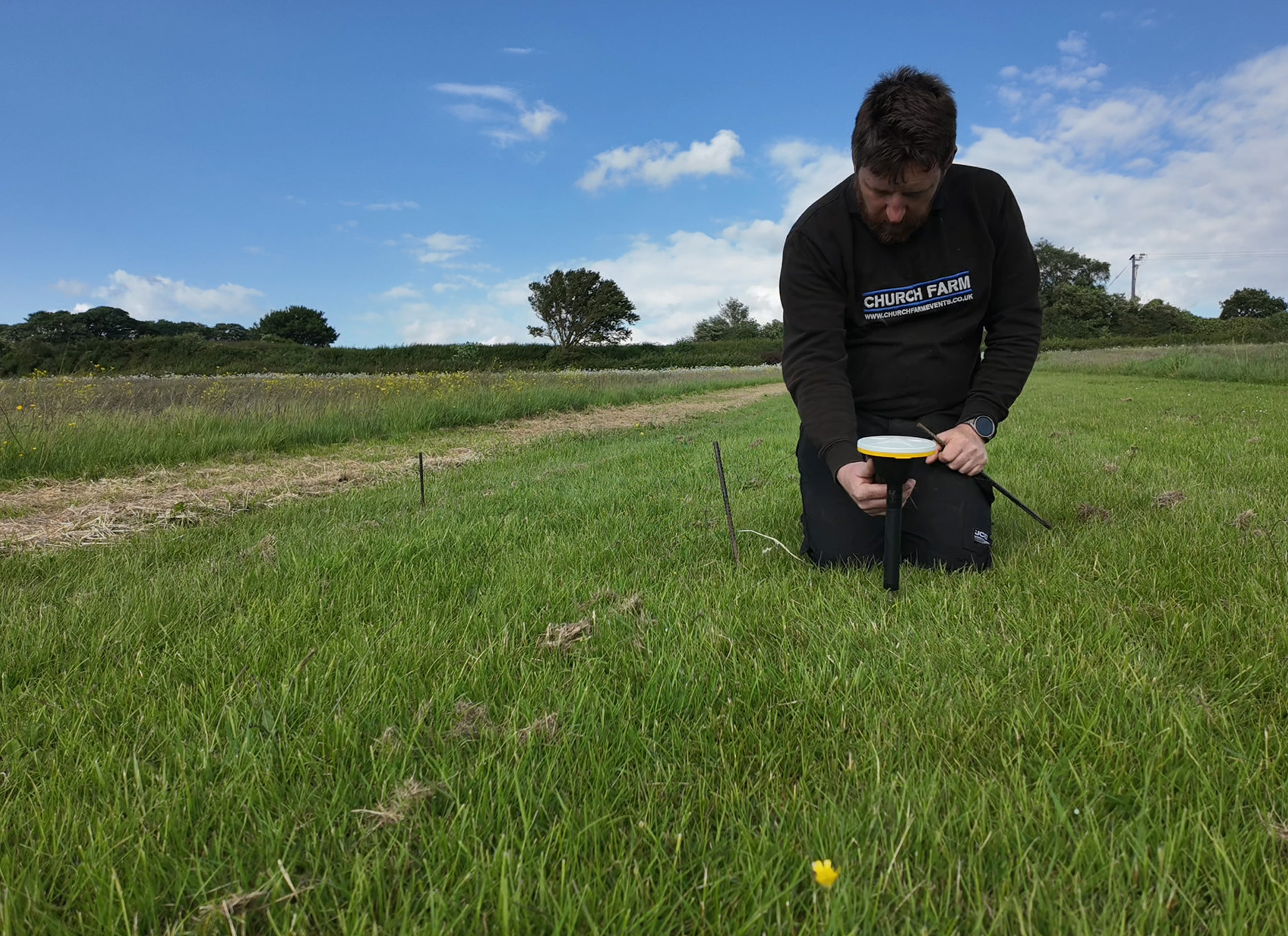
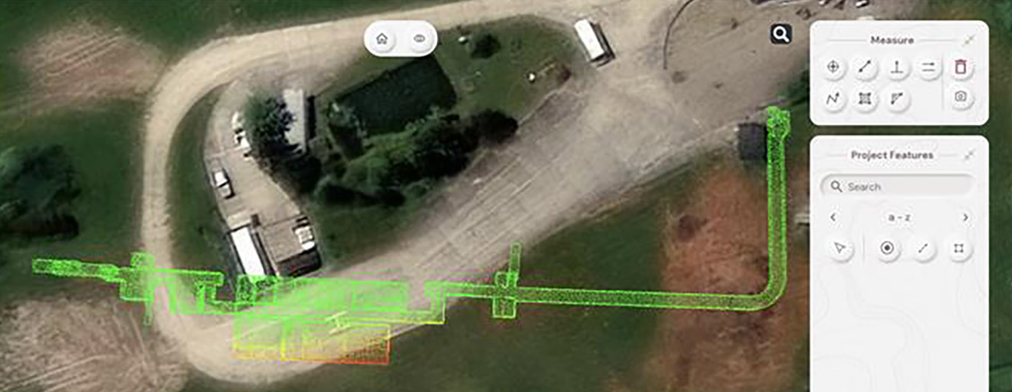
Using Trimble Catalyst to accurately map plots on their natural burial ground, Forget Me Not Fields has found a perfect balance between efficiency and tranquillity amongst the wildflower meadows. Download […]
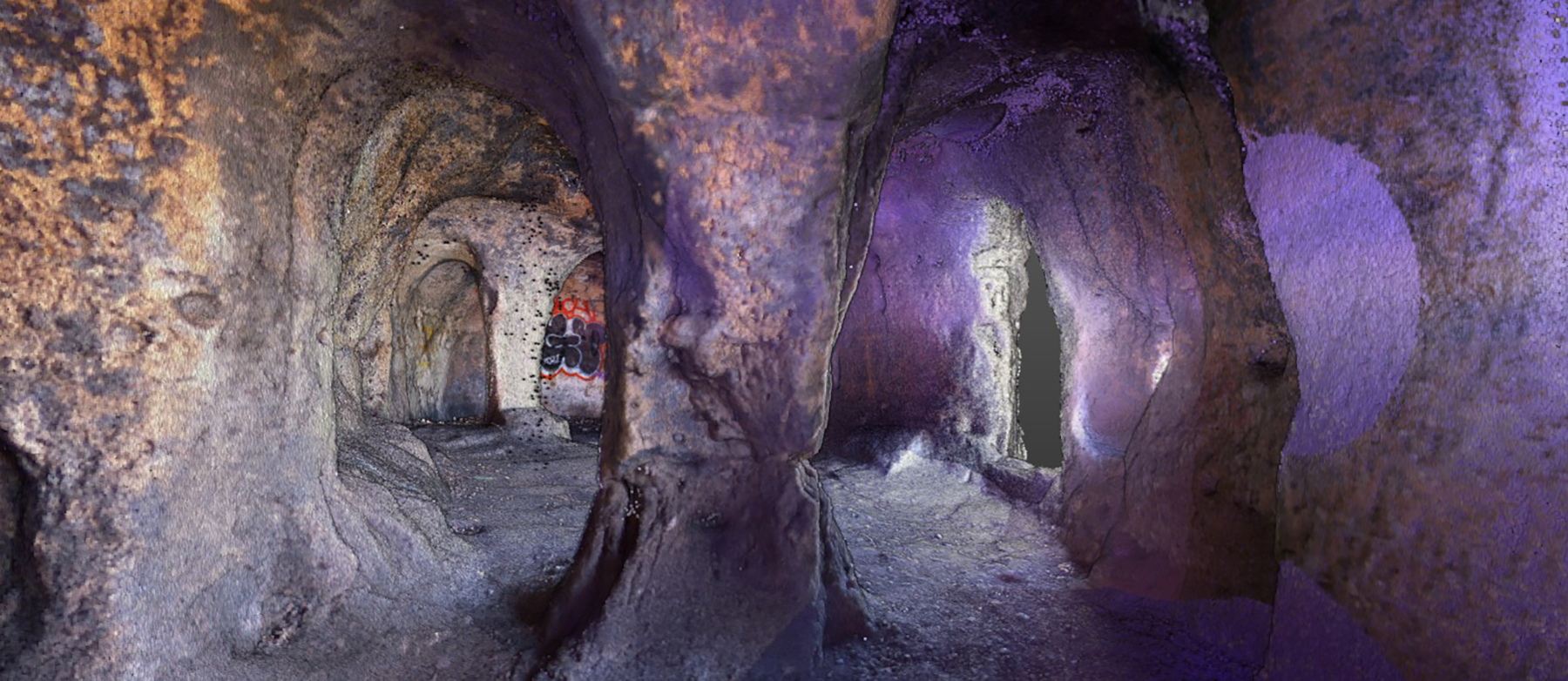
Lloyds Datum Group (now part of SOCOTEC UK and Ireland) has pioneered a landmark project on an abandoned mine site in Northern Ireland. It is the country’s first large-scale ground […]
Leading earthworks and civil engineering contractor MJ Church, has combined its holistic, model-driven approach to complex infrastructure projects with a fully integrated Trimble ecosystem of hardware and software - all hosted within Trimble Connect’s Common Data Environment.
When Neon Surveys introduced the Exyn Nexys SLAM system into their floor-plan surveying workflow, the only difference their clients noticed was how much faster they received the finished deliverable.
How a strong understanding of the Exyn Nexys SLAM technology enabled SYSTRA UK to strike the perfect balance between speed and accuracy during a recent structural assessment survey of a large and complex building in Manchester.
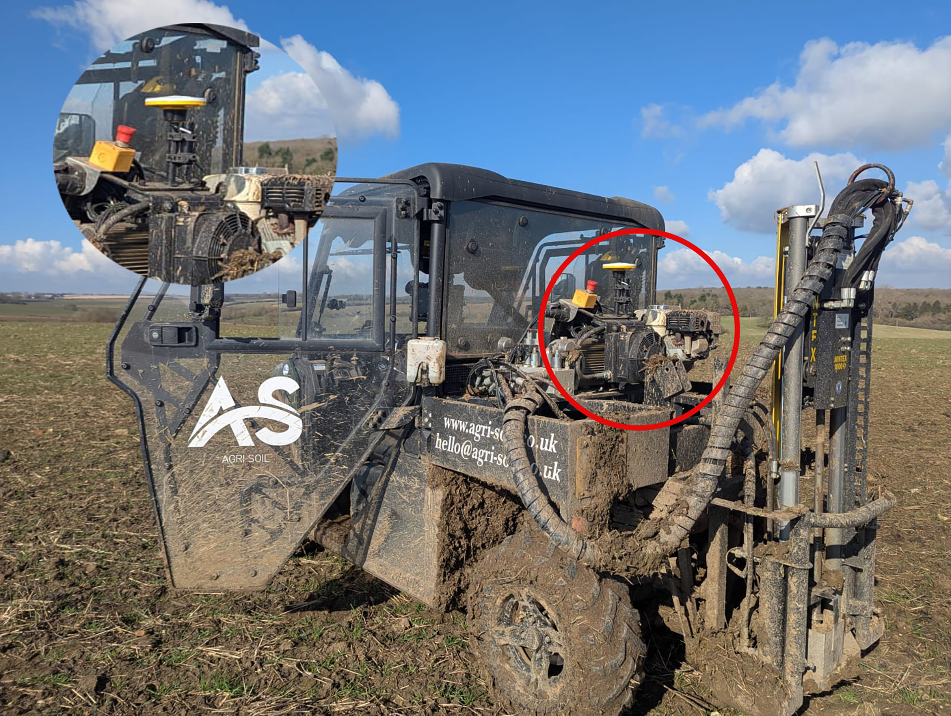
A family farm has diversified into providing an expert soil sampling and analysis business as an independent alternative to using services provided by large agricultural chemical companies.
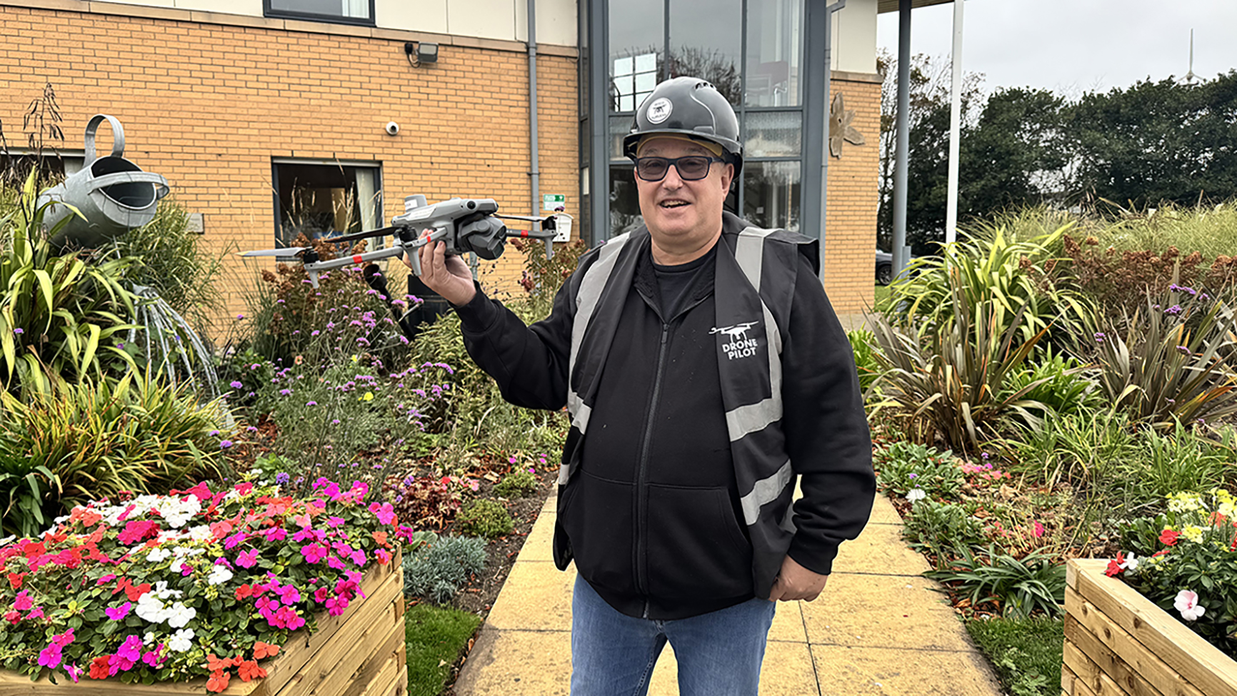
Growing a business through clarity: How Image Surveys used Soarvo, a cloud-based 3D geospatial platform, to make 3D drone data interactive and easy to share for all of an events management team.
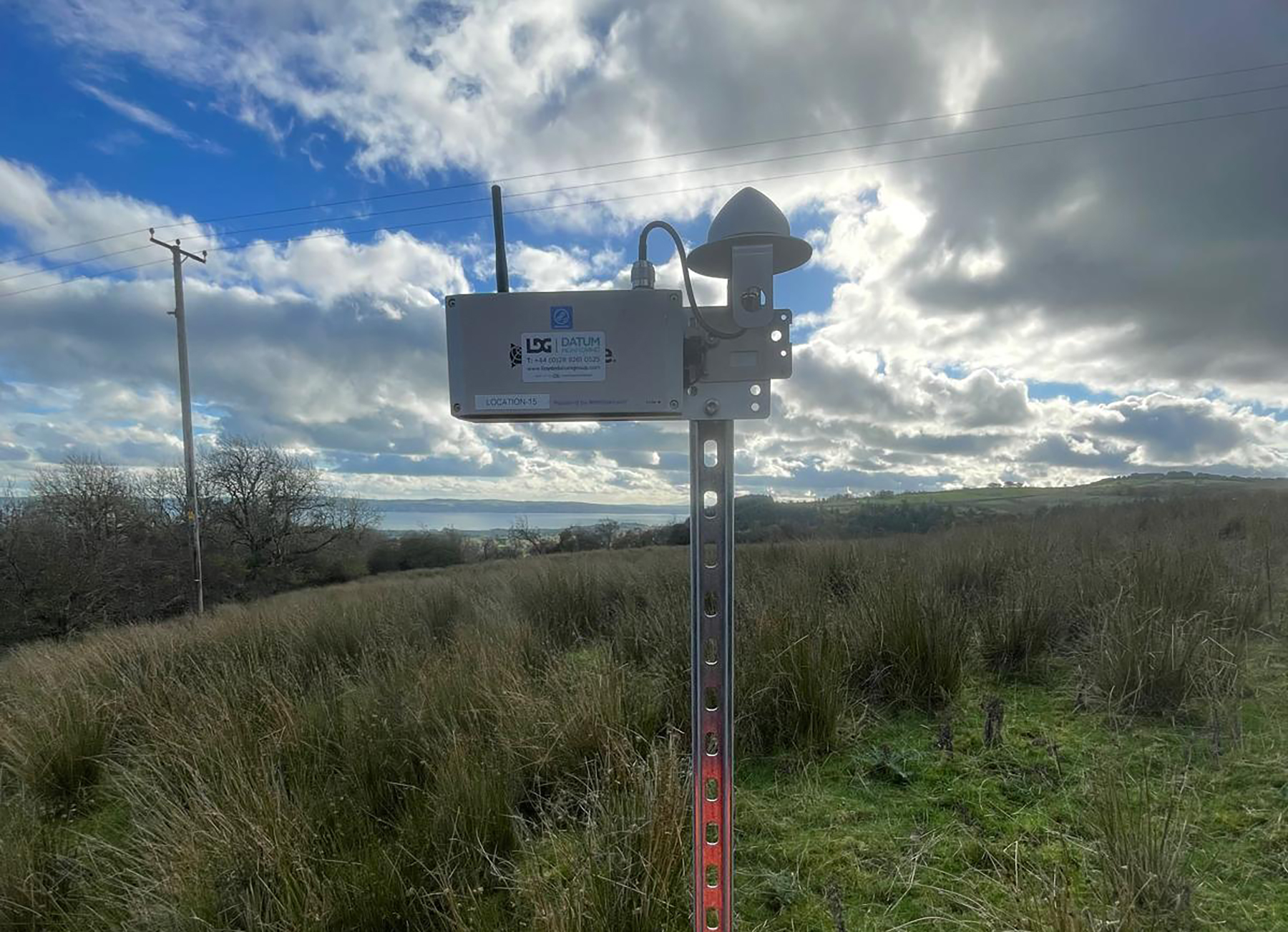
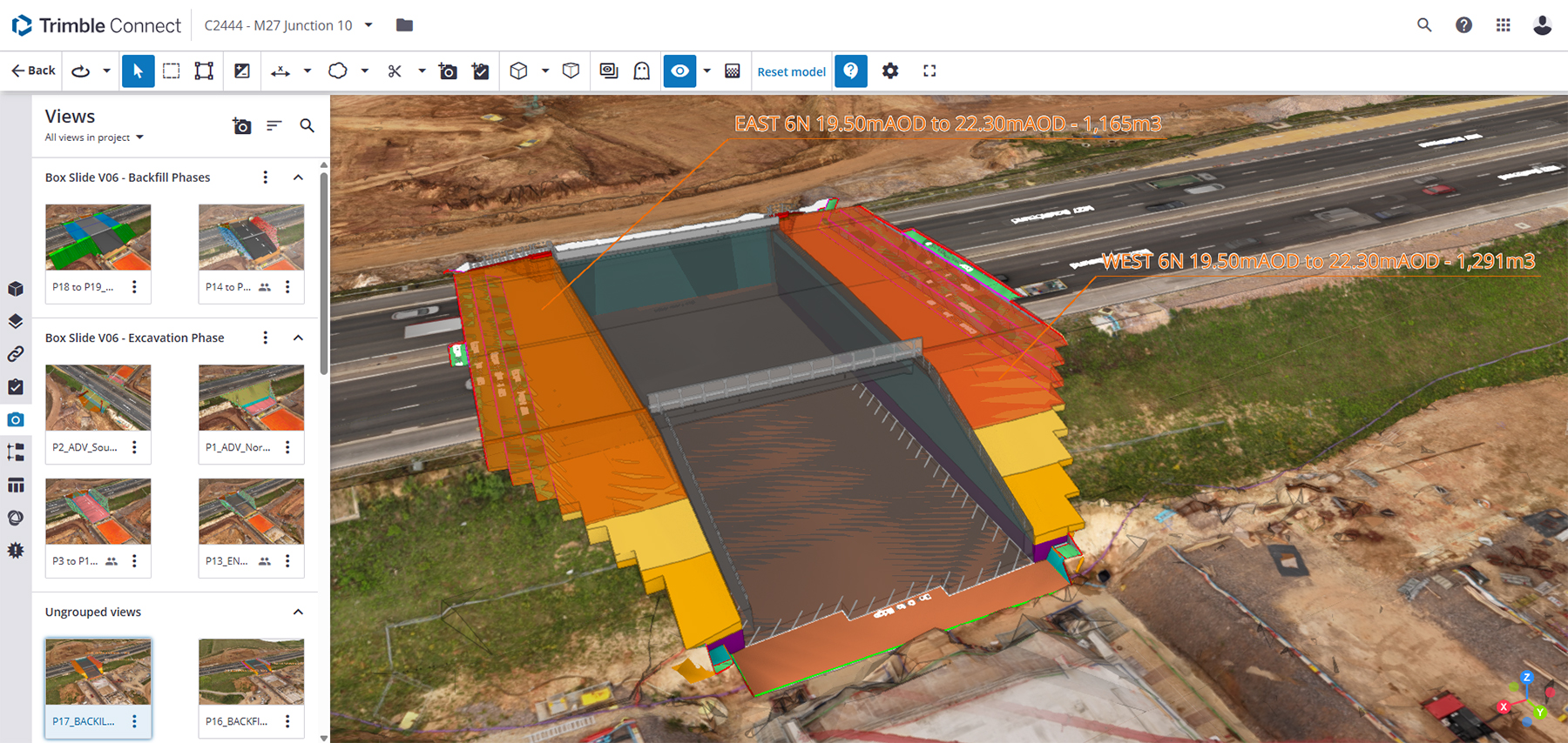
How Balfour Beatty smoothly implemented a high-performance, easy-to-use Trimble automated monitoring system - with minimal traffic disruption and limited reliance on prisms - during essential utility work at the UK’s busiest motorway junction.
How GeoDrone Survey helped a landowner pinpoint the exact proximity of an underground bunker to the Norfolk coastline thanks to Soarvo, a powerful cloud-based platform for managing and visualising geospatial data.