
- This event has passed.
GNSS Surveying & Setting Out | Cork
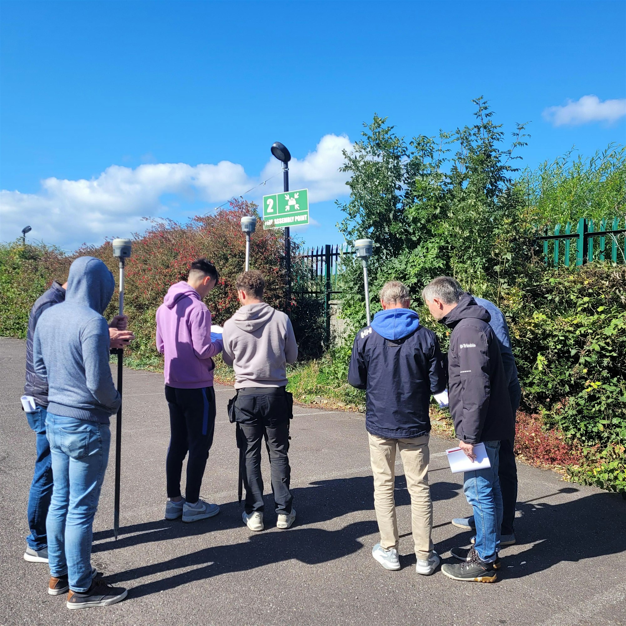
KOREC Ireland are delighted to announce our new GNSS Surveying & Setting-out course!
Based on years of training experience this course has been designed to cover the essentials of surveying and setting-out for site engineers using GNSS.
As an introductory course, this is open to all, with no previous experience necessary.
This course has been accredited by Engineers Ireland for Continuing Professional Development and a Certificate of Competence will be issued upon completion.
Agenda
Indoor:
– GNSS Overview Powerpoint
– CAD Drawing Preparation Exercise
– Trimble Access Emulator:
Creating Jobs
File Management
Attaching Files
Stakeout
Measure
– Transferring Data & Kit Inventory
Outdoor
– GNSS Practical Exercise
Task 1 – Stakeout
Task 2 – Measure / As-Built
Task 3 – Cogo Functions
Task 4 – Export