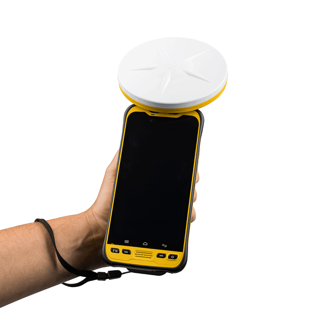
Pix4D Mapper is a leading photogrammetry software solution that automatically converts drone images into highly precise and georeferenced 2D maps and 3D models. It enables users to capture, digitise, control, measure & inspect and collaborate & share drone data.

Survey-grade results
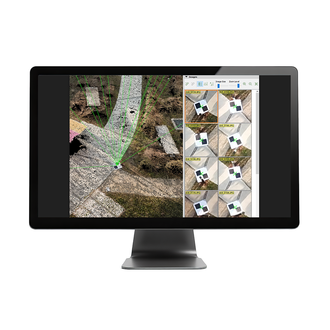
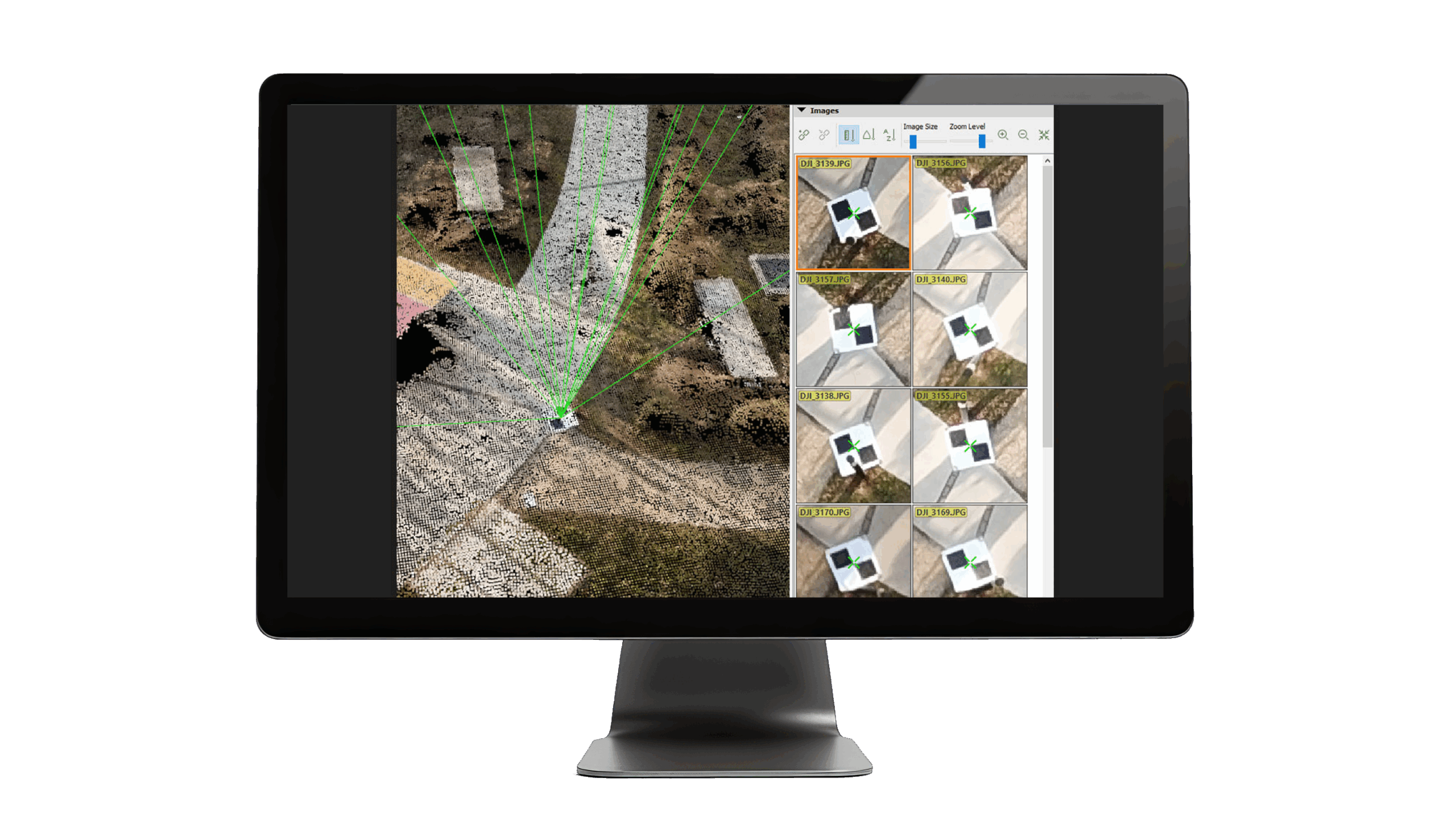
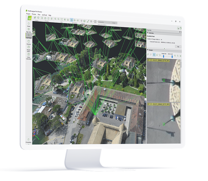
Obtain results with sub-centimetre accuracy thanks to photogrammetric analysis. 1-2 pixel GSD in X, Y directions 1-3 pixels GSD in the Z direction
Complete control over your projects
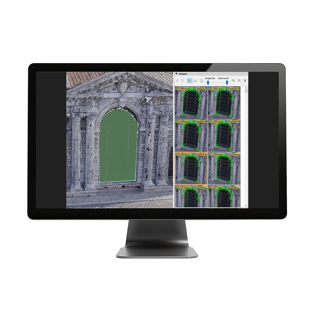
Define an area of interest, select processing options, add ground control points or edit point clouds, DSMs, meshes, and orthomosaics.
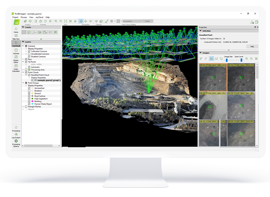
Your workflow, your choice
Use default templates for automatic processing of your projects, or create your own with custom settings for full control over the data and quality.
Collaborate & share
Streamline project communication and teamwork. Selectively and securely share project data and insights, with your team, clients, and suppliers, using standard file formats.
PIX4D Mapper is a photogrammetry solution to power applications across industries bringing advanced data processing for precise results.
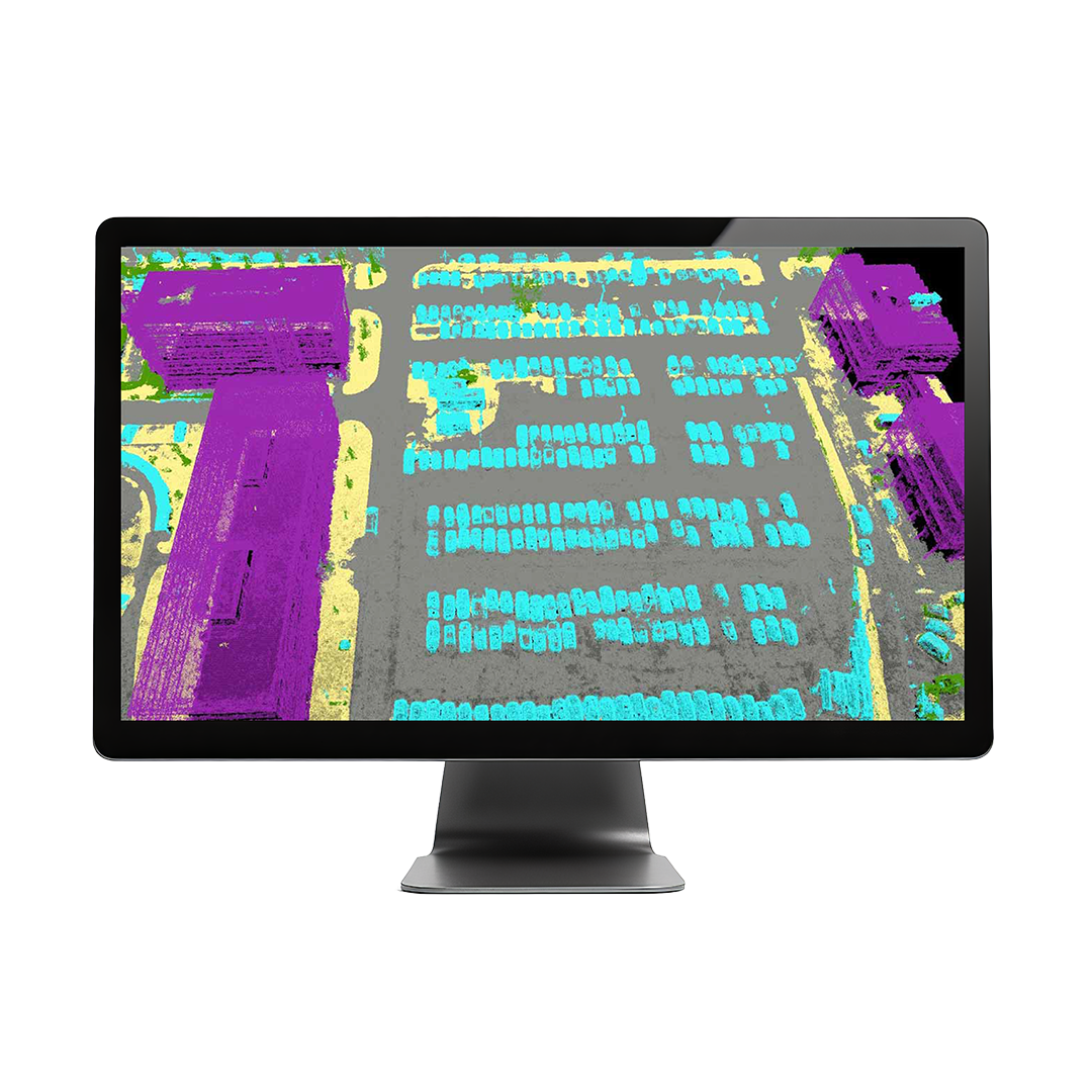
• Automatic point cloud classification
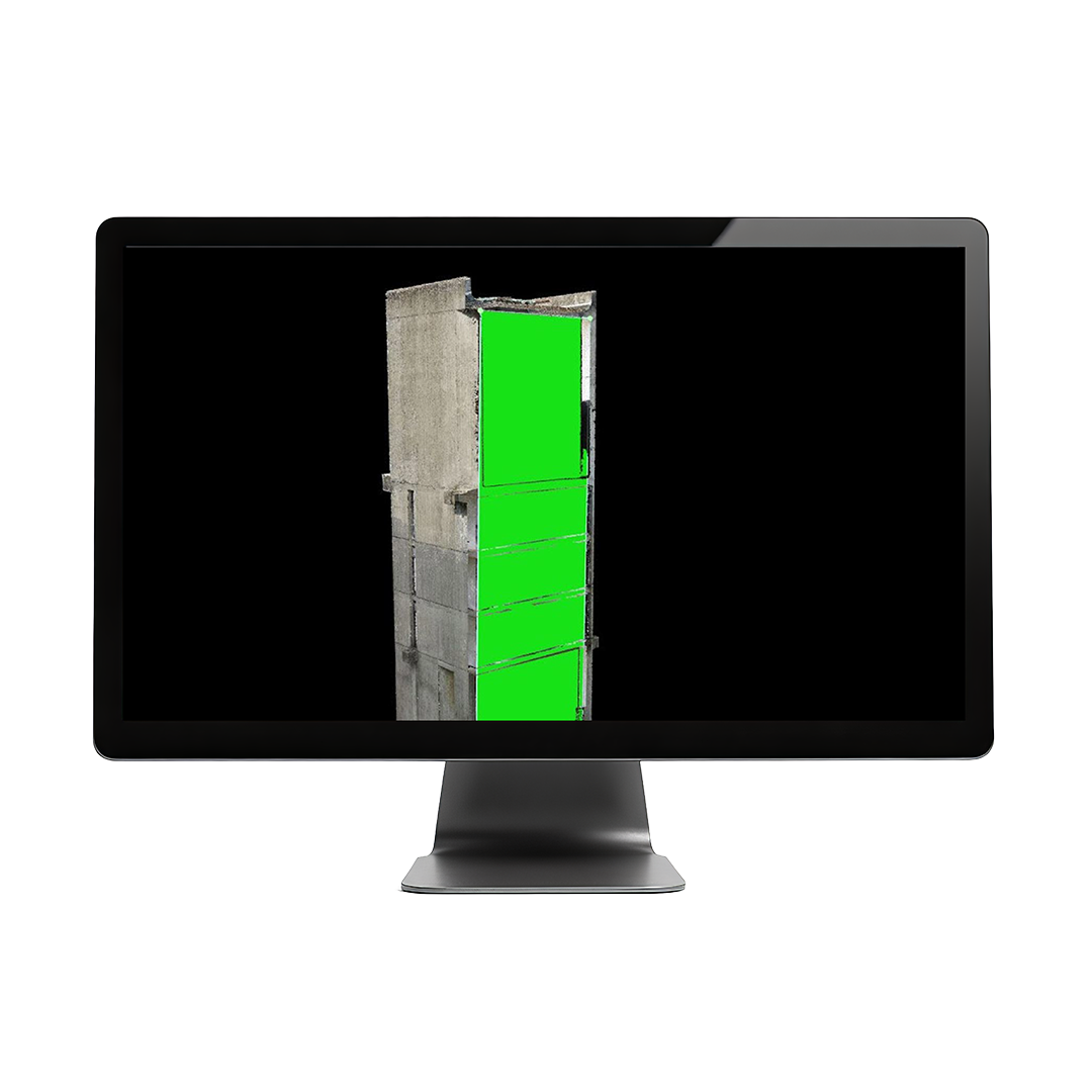
- Flatten & smoothen digital surfaces
- Easily measure surface, distance & volume
- Control over the project accuracy
- Detailed quality report
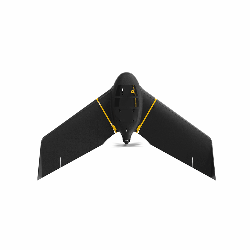
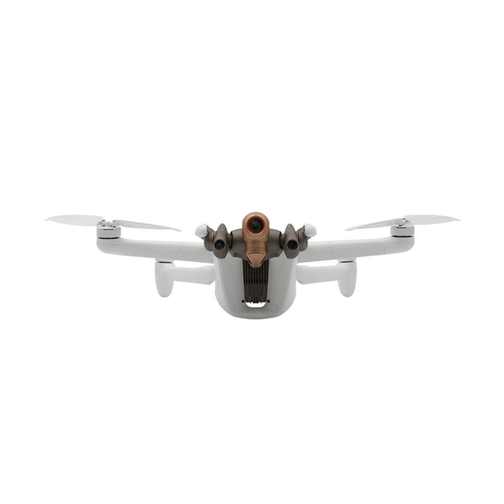
eBee X
Lightweight mapping drone for large coverage and sharp data
£POA
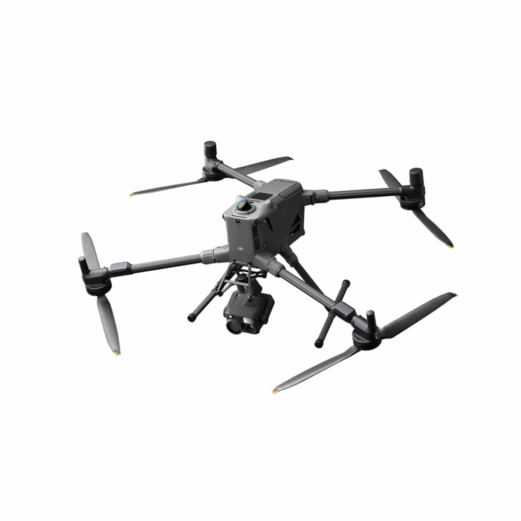
DJI Matrice 400
Engineered for excellence, designed for versatility
£8,875.00
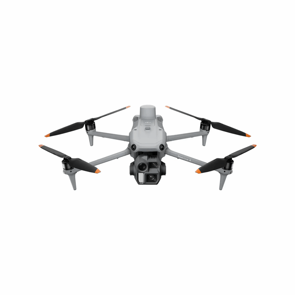
DJI Matrice 4 Series
Bringing intelligence to aerial operations