Specialist training for smarter surveying

Learn and excel with construction and survey training courses from KOREC – the trusted industry experts. With Trimble Certified Trainers, Trimble Certified Product Specialists, and CITB approved courses, you can be sure you’re set up for success.

Hero Block
Hero Block Mobile

Expert, practical training experts across UK and Ireland

Comprehensive product and workflow training is crucial for the success of your projects. That’s why KOREC’s Trimble certified training courses have been specifically designed to equip you and your workforce with the latest skills and techniques needed to take full advantage of Trimble products and software. As one of Europe’s largest distributors, we have training courses available in a location near you, stretching across the UK and Ireland. So if you’re looking for expert-led training in construction, survey, mapping, monitoring or rail – you can trust KOREC.

Get up to 70% funding on training

KOREC are proudly CITB accredited as an Approved Training Organisation, meaning you can access a subsidy of up to 70% against the cost of any KOREC training course in the UK as part of the CITB Employer Network scheme. This is a great way to improve your organisation’s skills and capabilities from a trusted, certified provider. To get started with CITB subsidised training, simply contact your local CITB Advisor to get started.  

Learn in the best way for you

Different businesses have different requirements, so we’ve built both in-person and online training courses that are designed to help you excel. We regularly run in-person training sessions at our regional offices, and we’re always more than happy to create customised training for your organisation. Meanwhile our virtual GeoSchool training is online 24/7, ready whenever you are. So however you’re looking to get our Trimble certified training courses, you can find a way that works for you.

Trusted by leading brands

What do our customers say?

Fantastic amount of information delivered clearly in a limited timespan – many thanks!

Angus Hemmings
Ordnance Survey

The course was very well structured and easy to follow. Any questions or problems were explained clearly.

Joe Rae
Network Rail

Excellent training, well delivered and willing to change small aspects of the course to better suit our needs.

Darren Perkins
A14 Integrated Delivery Team

Talk to our friendly training team

Looking to talk to someone? Get in touch with our friendly training teams for a quick response.

Get in touch

GeoSchool Online training

KOREC GeoSchool is our online learning platform that offers a range of high-quality interactive training courses. These courses have all been designed to allow you to choose, where, when and at what pace you’d like to complete your training, as well as providing lots of opportunity for questions and feedback from our qualified trainers.

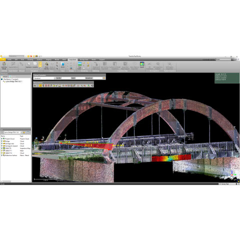
Training topics covered include Trimble RealWorks, Rail sector, Trimble Business Centre, plus you can access our free webinar recordings and free Trimble Virtual World Quests.


In-person training courses

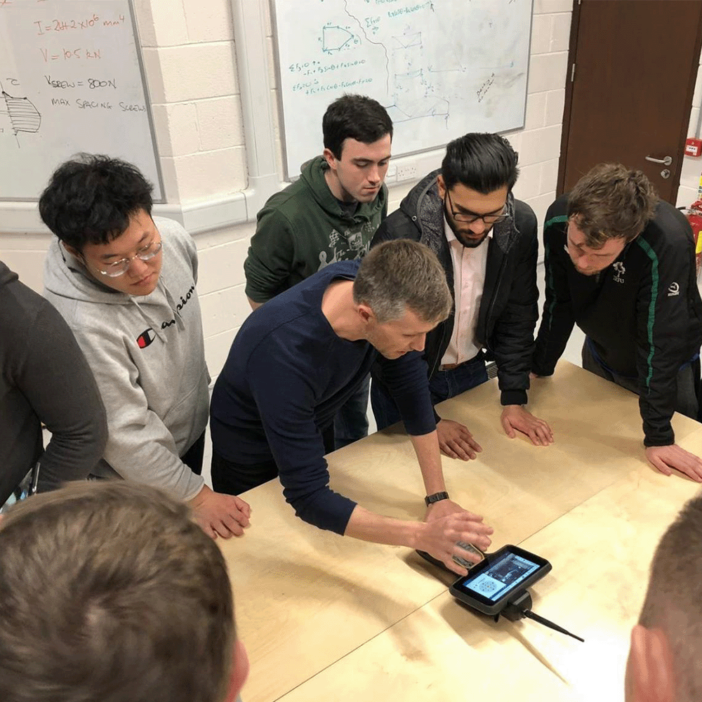
Our dedicated training team includes Trimble Certified Trainers and Trimble Certified Product Specialists, so you can get peace of mind that you’re getting quality training that will make a real impact to your organisation. KOREC trainers are all seasoned experts with years of real-world experience and deep Trimble expertise across hardware and software. We work hard to make our training courses highly engaging and relevant, combining the right mix of classroom theory and practical hands-on.


Upcoming scheduled training courses

KOREC regularly run scheduled training for our most popular courses every month, available at a selection of locations across the UK and Ireland. These are our most popular courses that we run regularly, but we do have a wide variety of courses available that cover survey, construction, rail (and more) for both field and office. Browse our full course catalogue further down the page for more info on our full range.

UK scheduled training is run from our head office in Liverpool, and Ireland and Northern Ireland training is run from locations in Dublin, Cork, and Craigavon.

UK
Introduction to Land Surveying

6-7 January 2026

3-4 February 2026

3-4 March 2026

14-15 April 2026

5-6 May 2026

2-3 June 2026

GNSS Survey & Data Processing

13-14 January 2026

10-11 February 2026

10-11 March 2026

21-22 April 2026

12-13 May 2026

9-10 June 2026

Total Station for Construction (CITB GET3407)

This is a CITB-approved course. CITB Course Code GET3407.


21-22-23 January 2026

18-19-20 February 2026

18-19-20 March 2026

22-23-24 April 2026

20-21-22 May 2026

17-18-19 June 2026

Trimble Business Center Earthworks Basics

27 January 2026

24 February 2026

24 March 2026

07 April 2026

26 May 2026

23 June 2026

Ireland & NI
Total Station Surveying & Setting Out

19th January 2026 – Craigavon

20th January 2026 – Dublin

21st January 2026– Cork


GNSS Surveying & Setting Out

16th February 2026 – Craigavon

17th February 2026 – Dublin

18th February 2026 – Cork


Browse the full course catalogue

In addition to our regular scheduled training courses, KOREC offers an enormous catalogue of Trimble certified training that can be tailored to your groups’ individual needs. We can run them from a KOREC office, or we could come to you! Take a look at the kind of course content we typically cover. Ask about bespoke training.

UK Courses
Introduction to Land Surveying

2 DAYS

Focusing on the use of the Trimble Total Station, the course offers a balanced mix of classroom-based theory and hands-on field sessions.

Drone Flight & Data Processing

1 DAY

Learn how to configure, maintain, operate and fly AgEagle, Wingtra and DJI drones.

GNSS Survey & Data Processing

2 DAYS

GNSS technical theory and practice of taking and processing GNSS observations for the installation of control networks. This includes RTK and network RTK survey practice.

GNSS Site Calibration & Working to Scale Factor 1

1 DAY

Understand the theory behind a site calibration and practice observing and interpreting the results. Site calibration is an essential skill to operate GNSS equipment in a local grid coordinate system.

Introduction to Setting Out

2 DAYS

Learn how to use Trimble Access to transfer setting out data onto a field controller, and practice common setting out procedures point installation and line features.

Trimble Access for GNSS Survey

1 DAY

An introduction to the setup and operation of a Trimble GNSS system for RTK or Network RTK for survey and setting out operations.

Trimble Access – Roads Module

1 DAY

Learn the Road corridor functionality within Trimble Access Roads to set out and check road design data. Data sources include GENIO, LandXML and Trimble Road files.

Trimble 4D Control Monitoring System

1 DAY

Get everything you need to know about the capture and reporting of monitoring data. Learn the configuration and operation of both the field components and the T4D software.

Trimble RealWorks

2 DAYS

Detailed training on how scan and import data, manage registration, efficiently clean up, generate deliverables, and export data.

Trimble GEDO Rec & Track

1 DAY

Learn how to survey rail track using the GEDO system, with Rec software for survey and Track software for pre and post tamp checks to alignment data.

Trimble GEDO Vorsys

1 DAY

A course that delivers practice of pre and post tamp surveys using the twin Track Measurement Device solution that is GEDO Vorsys.

Trimble GEDO Scan

1 DAY

Learn how to capture and process scan data captured using the GEDO Scan system. The course covers use of the software for clash detection and creation of ClearRoute SCO files.

Trimble GEDO IMS

1 DAY

A one-day course which covers the rapid survey of track using the GEDO IMS system and data post processing in GEDO Office.

Rail Design Data Prep for Machine Control

1 DAY

Learn how to use Trimble Business Center to import rail design data from LandXML files and create alignments and surfaces in Trimble Machine Control ready formats.

Ireland & NI Courses
Total Station Surveying & Setting Out

1 DAY

Based on years of training experience this course has been designed to cover the essentials of surveying and setting-out for site engineers using Trimble Total Stations. This 1- day course will also cover the best procedures for station setups, resections and setting up new control points onsite.

This course has also been accredited by Engineers Ireland for Continuing Professional Development (CPD) and a Certificate of Competence will be issued upon completion.

Agenda

Indoor

Total Station Overview PowerPoint

Trimble Access Emulator:

  • Creating Jobs
  • File Management
  • Attaching Files
  • Stakeout
  • Measure

Transferring Data & Kit Inventory

Outdoor

Total Station Practical Exercise:

  • Task 1 – Station Setup
  • Task 2 – Setup New Control Points
  • Task 3 – Resection
  • Task 4 – Total Station Functions
  • Task 5 – Stakeout
  • Task 6 – Measure/As-built
GNSS Surveying & Setting Out

1 DAY

Based on years of training experience this course has been designed to cover the essentials of surveying and setting-out for site engineers using GNSS. As an introductory course, this is open to all, with no previous experience necessary. This course has been accredited by Engineers Ireland for Continuing Professional Development and a Certificate of Competence will be issued upon completion.

Agenda

Indoor

Indoor:
GNSS Overview Powerpoint

CAD Drawing Preparation Exercise

Trimble Access Emulator:

  • Creating Jobs
  • File Management
  • Attaching Files
  • Stakeout
  • Measure

 Transferring Data & Kit Inventory

Outdoor
-GNSS Practical Exercise:

  • Task 1 – Stakeout
  • Task 2 – Measure / As-Built
  • Task 3 – Cogo Functions
  • Task 4 – Export

case studies

No fuss and full control: monitoring the M25 J10 upgrade works

07/17/2025

How Balfour Beatty smoothly implemented a high-performance, easy-to-use Trimble automated monitoring system - with minimal traffic disruption and limited reliance on prisms - during essential utility work at the UK’s busiest motorway junction.

Making data tell stories – when context is everything

06/12/2025

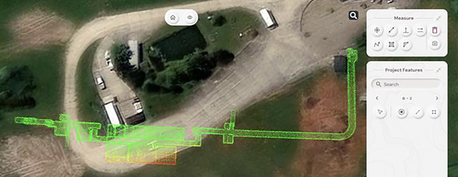
How GeoDrone Survey helped a landowner pinpoint the exact proximity of an underground bunker to the Norfolk coastline thanks to Soarvo, a powerful cloud-based platform for managing and visualising geospatial data.

New KOREC case study with Centara Ltd – Trimble X7 with Leica Cyclone software

11/19/2024

Our latest KOREC case study is called ‘The best of both worlds’. Why? Because Yorkshire based Centara Ltd wanted to invest in the best 3D laser scanner for their line […]

Exeter underground – surveying the city’s hidden history

05/19/2025

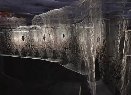
A request to survey a 390m network of Exeter’s historic underground tunnels - some as narrow as 430mm - and to tie those tunnels to the topography of the streets above, presented exactly the kind of complex, technical challenge that Benchmark Surveys excels at.