Scale your mapping operations with ease
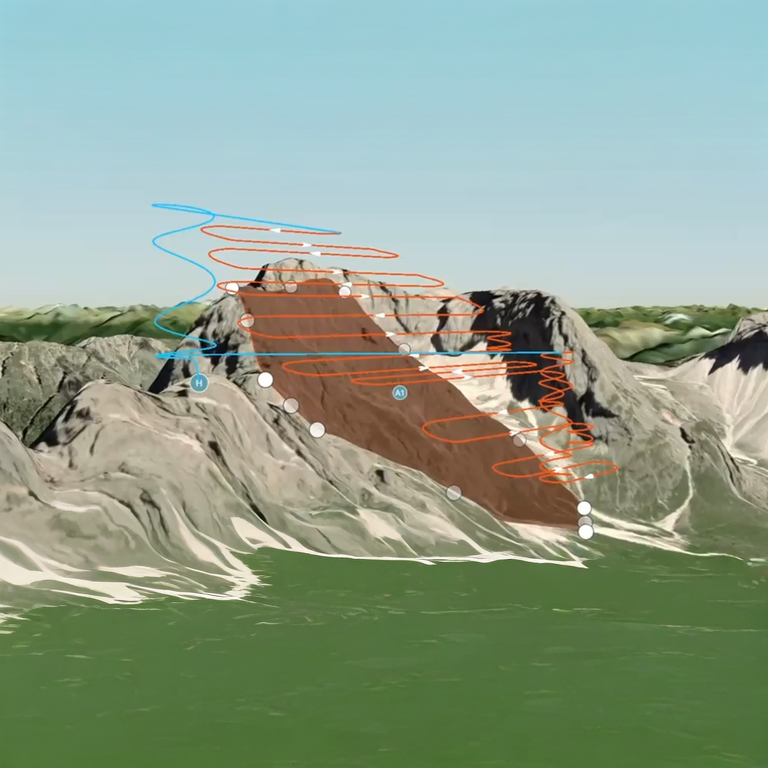
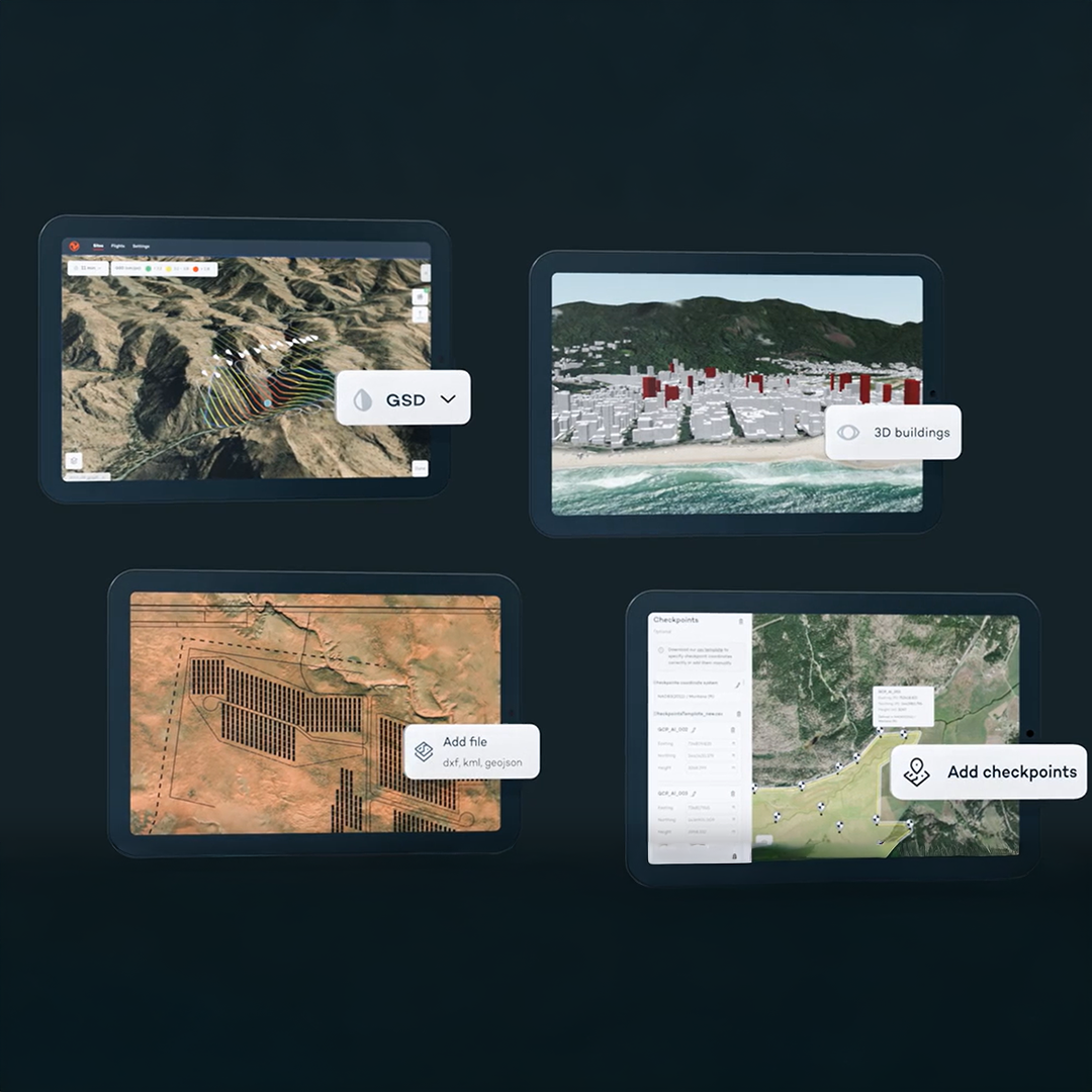
WingtraCLOUD offers a completely new and user-friendly flight planning experience, plus time-cutting features like site-based file organisation, advanced 3D planning, coordinate system by sites and improved connectivity via cloud syncing. The WingtraCLOUD experience is rolling out to replace lots of software tools with one environment, providing an intuitive experience that goes beyond mere technical execution. This not only streamlines operations, but also minimises errors that fragmented workflows tend to introduce. Choose from Essential, Pro and Unlimited WingtraCLOUD plans to best fit your business needs.
Now Trimble and Wingtra work together even better
- Get more integrated drone and ground workflows, with fewer steps, fewer files, and fewer errors
- Direct drag-and-drop of .JXL files into WingtraCLOUD
- T02/T04 support with no need to convert to RINEX
- Seamless coordinate transformation – zero manual setup
Surveyors using Trimble Business Center can now plug directly into WingtraCLOUD, meaning time-consuming file prep is gone, and data is in the right co-ordinate system, right away.

Get accurate mapping deliverables faster, without rework
With a seamless workflow, your team can get it right first time, every time. You’ll meet deadlines more easily and keep productivity high, all while avoiding the frustration of rework.
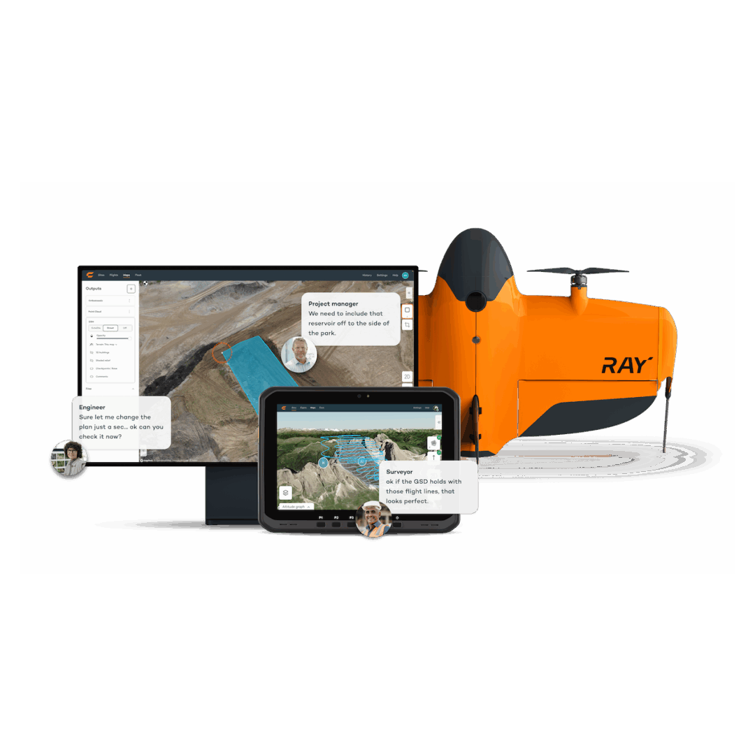
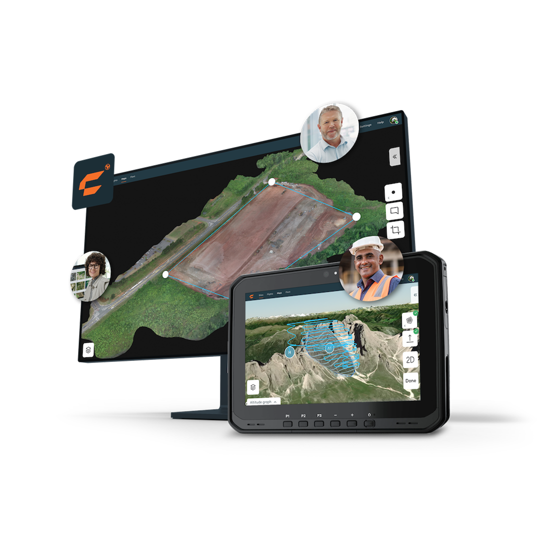
Accessible and shareable data
Share, view and annotate processed maps easily all within Wingtra. Make measurement and leave comments, ensuring seamless collaboration and efficient briefings.
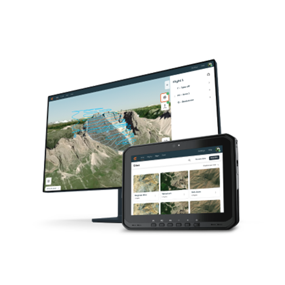
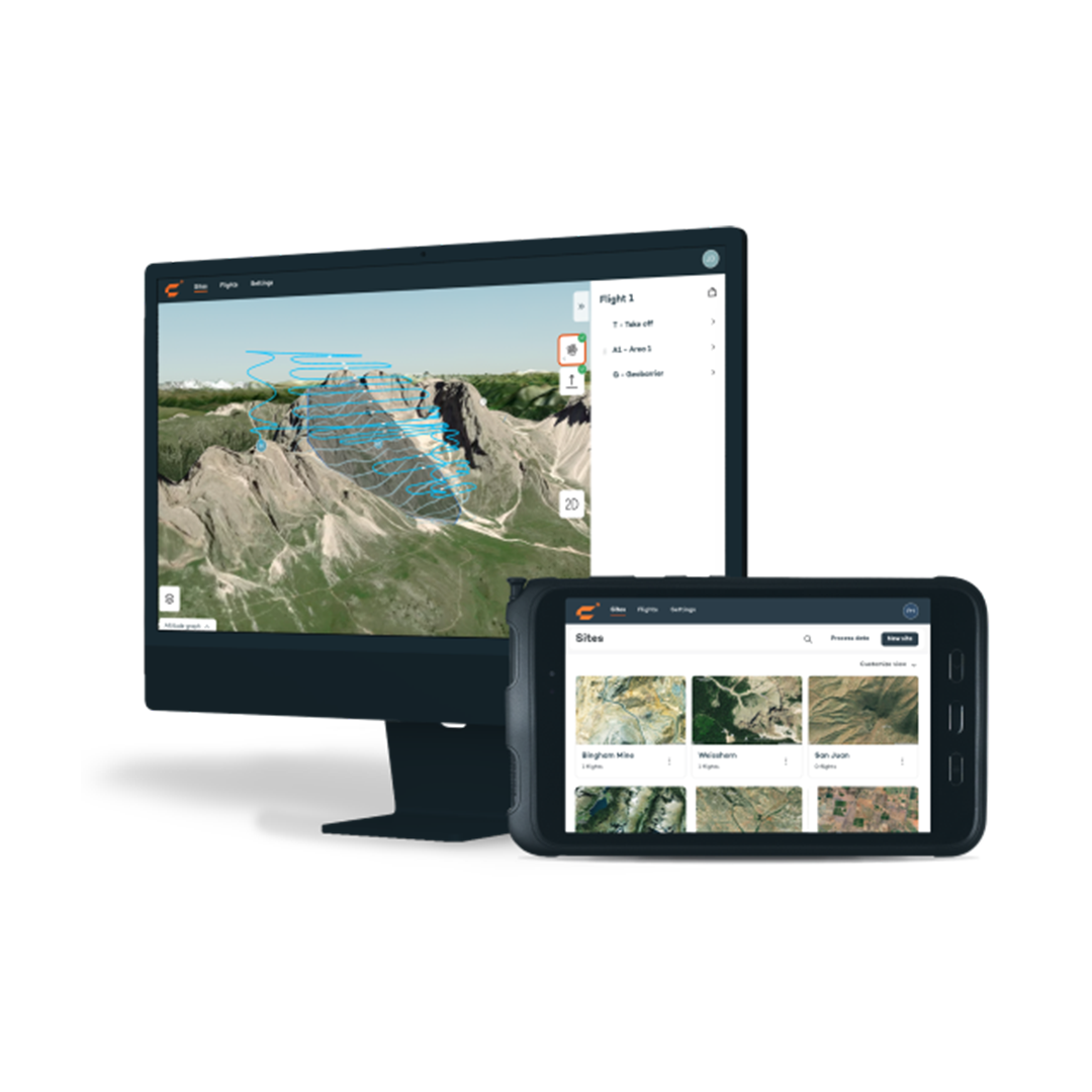
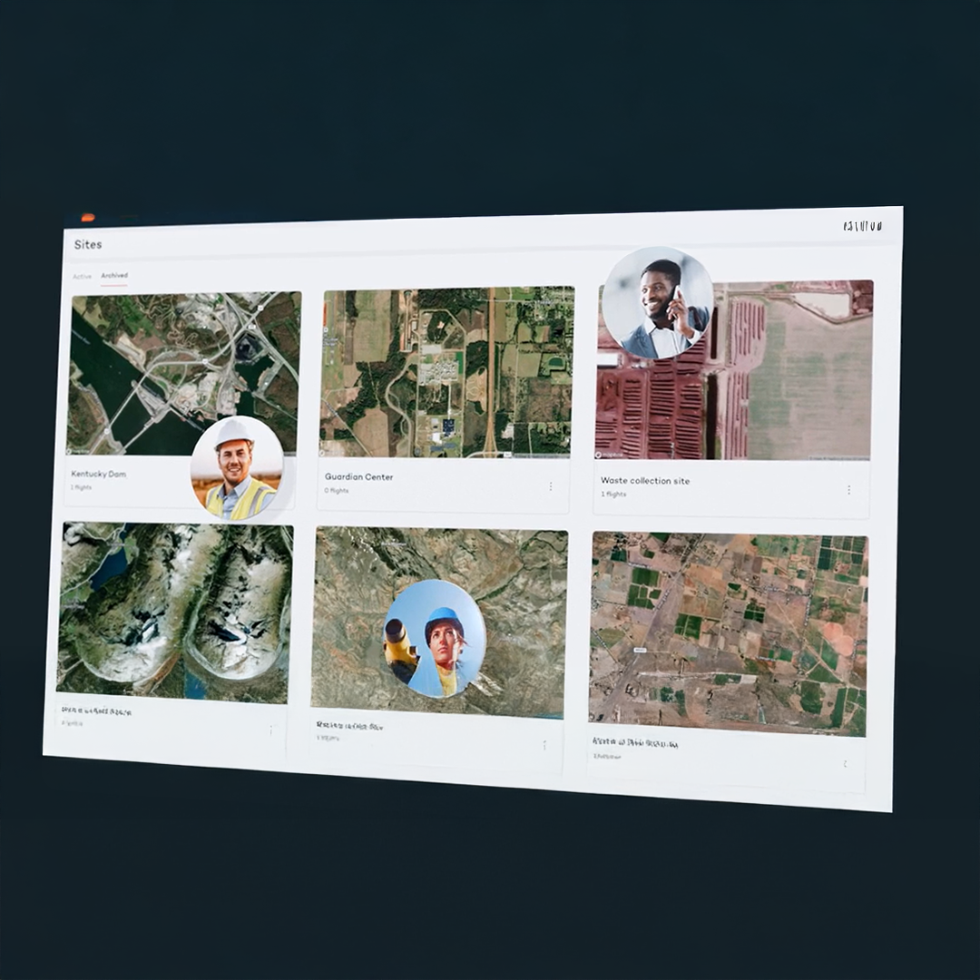
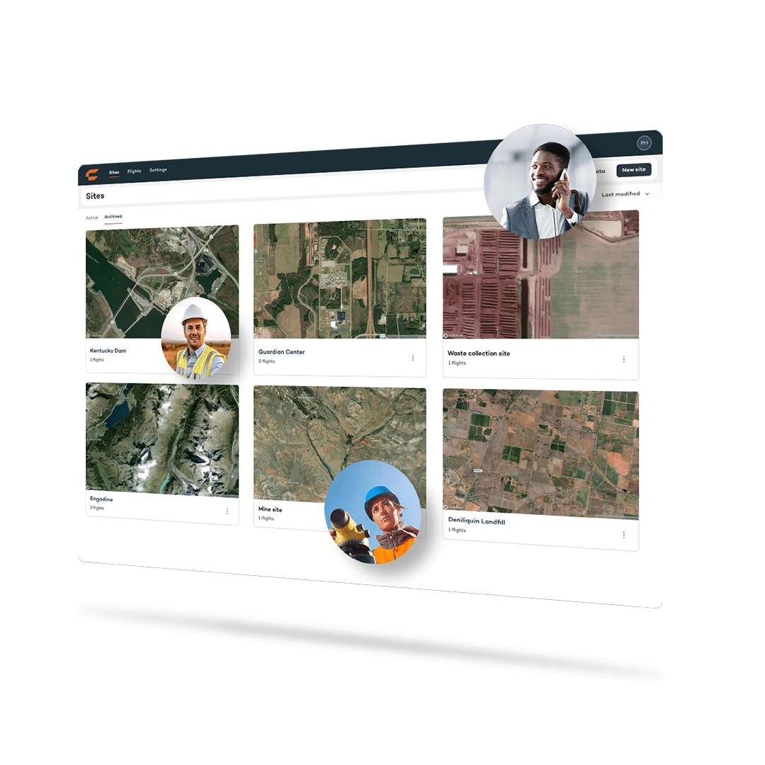
Digital site management
Set up digital sites with related files for an effortless overview of site progress and completion for all stakeholders.
Synchronisation
No more outdated versions. Keep your team aligned and looking at the same flight plans and project data across devices and locations.
Wingtra makes drone mapping operations scalable by simplifying workflows, enabling even those who lack extensive training to effectively collect, manage and analyse drone data with confidence.
It enhances collaboration, allowing remote teams to oversee flight plans and outputs easily.
This accessibility and oversight means you can expand drone use across your organisation effectively and efficiently, minimising overhead around data and maximising the value of your investment well beyond its cost.
Trimble & Wingtra working together for better integration between Trimble Business Center and WingtraCLOUD
Discover the WingtraRAY