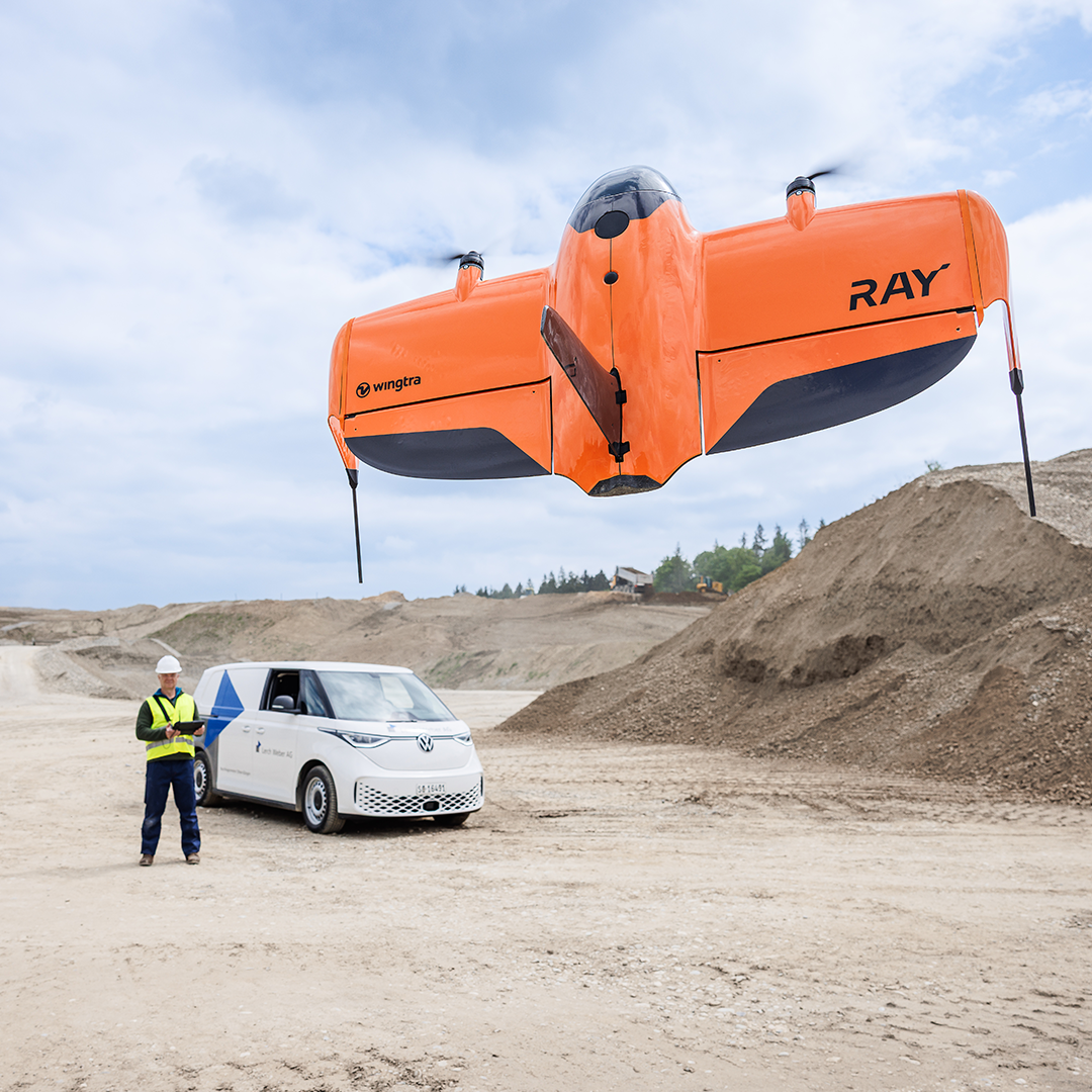
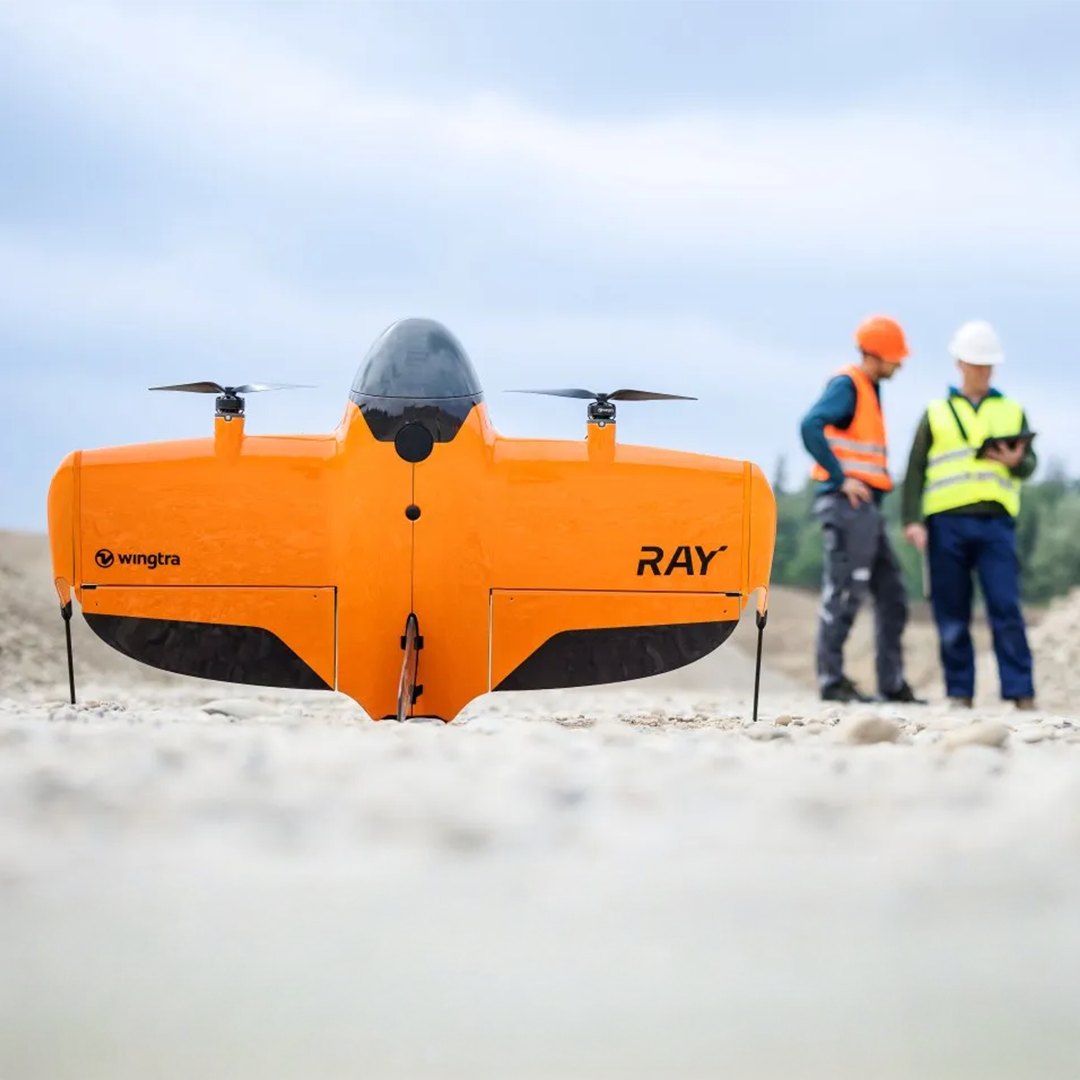
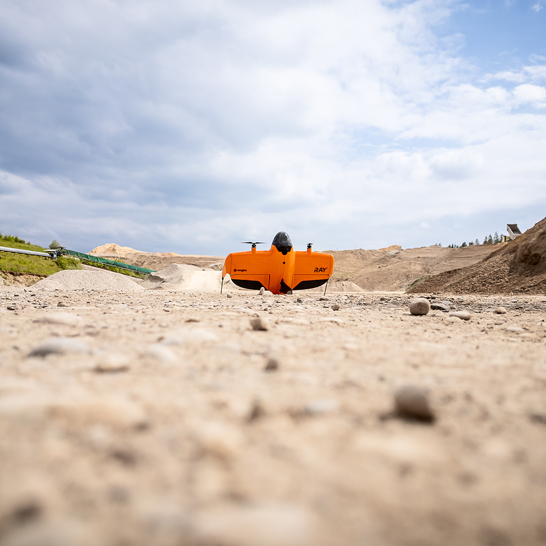
Wingtra SURVEY61
€POA
PRODUCT ENQUIRY
Premium survey-grade photogrammetry payload with a 61 MP full-frame nadir camera and low-distortion lens, delivering high-resolution, survey-accurate orthomosaics and topographic data without heavy reliance on ground control points.
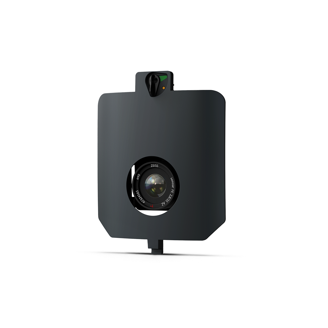
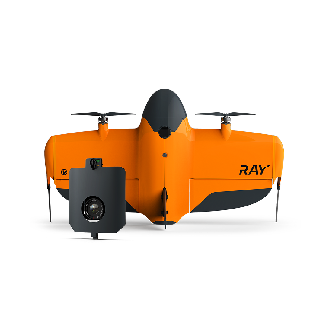
SURVEY61 is a Wingtra payload designed for repeatable, precision survey workloads, with no need for GCPs.
It’s engineered for high-accuracy aerial photogrammetry, combining a 61 MP full-frame sensor with low-distortion optics and integrated geotagging. It delivers fine detail down to ~0.5 cm/px and reliable positioning, enabling professional survey workflows such as construction monitoring, topographic mapping, and detailed orthomosaic and 3D model production.
- Repeatable, reliable survey data
- Exceptional precision
- No need for ground control points (GCP)
- Focus on deliverables, not on delivery
- Works with WingtraCLOUD to deliver end-to-end workflows

Survey-grade accuracy
Delivers centimetre-level absolute accuracy via integrated PPK workflows without requiring ground control points.
High resolution
61 MP full-frame sensor provides detailed imagery ideal for precision measurements and analysis.
Large coverage
Capable of mapping up to ~310 ha (770 ac) in one flight at 120 m altitude.

Optimised workflow
Seamless planning, flight, and processing in WingtraCLOUD simplifies data delivery for production environments.
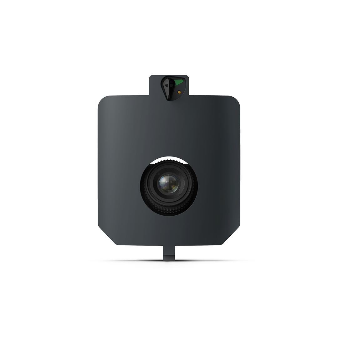
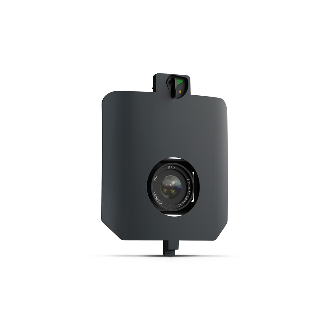
SURVEY61 integrates a high-resolution 61 MP full-frame sensor paired with a precision low-distortion 35 mm lens in a nadir mount. It yields a fine ground sampling distance (~0.5 cm/px) at lower altitudes and ~1.3 cm/px at standard mapping heights. With an efficient coverage footprint (~310 ha at 120 m), it balances precision and survey productivity. Integrated GNSS/PPK ensures ~3 cm absolute positioning accuracy without heavy ground control deployment. These characteristics make it suitable for infrastructure, construction, and general high-fidelity aerial surveying.
- Sensor: 61 MP full-frame RGB
- Lens: Low-distortion 35 mm, nadir
- GSD: ~0.5 cm/px (lowest) / ~1.3 cm/px @ 120 m
- Coverage: ~310 ha (~770 ac) @ 120 m
- Absolute accuracy (PPK): ~3 cm RMS
- Weight: ~585 g