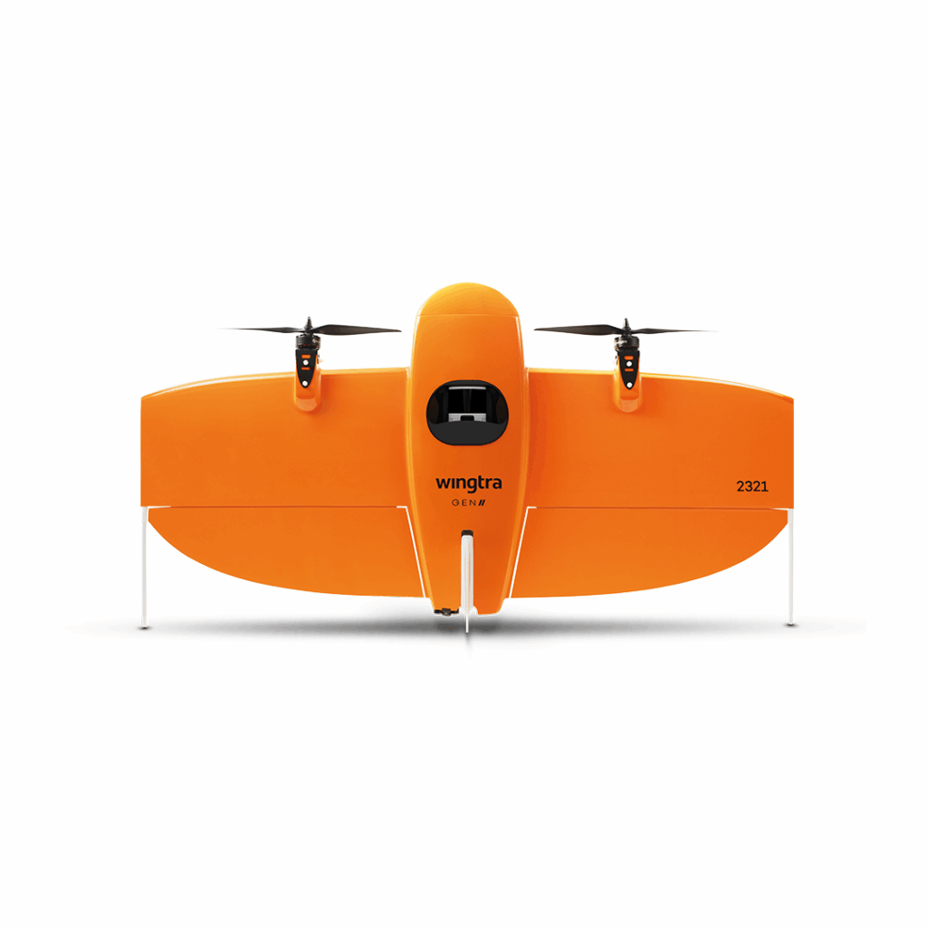
Wingtra SURVEY24
£POA
PRODUCT ENQUIRY
An affordable nadir-mounted 24 MP RGB sensor offering reliable aerial mapping with good ground coverage and solid photogrammetry performance for routine survey tasks.
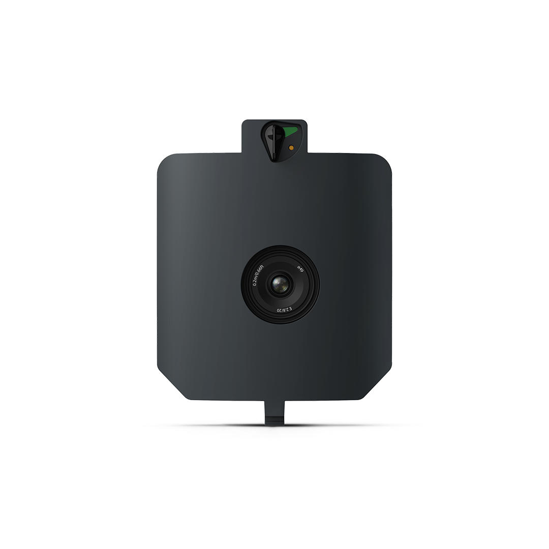
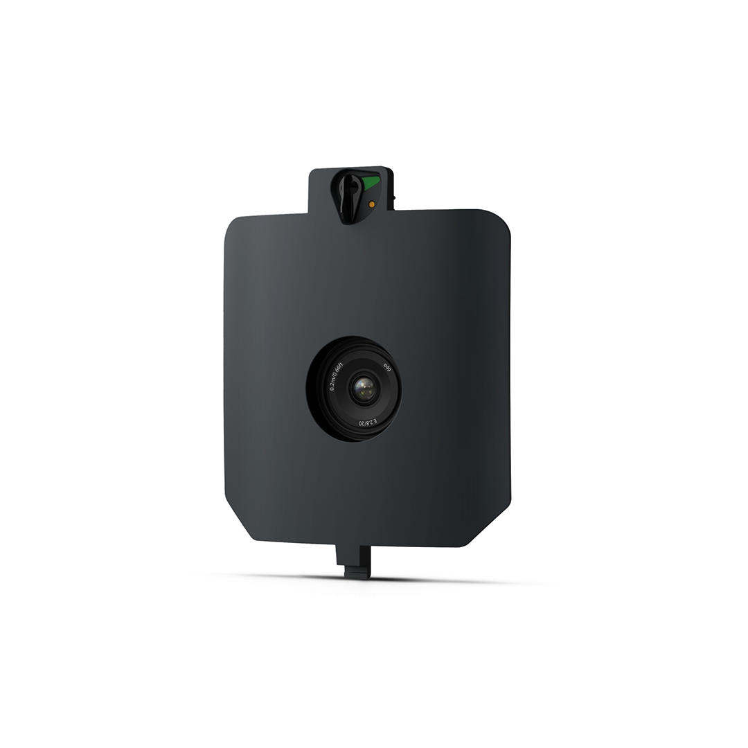
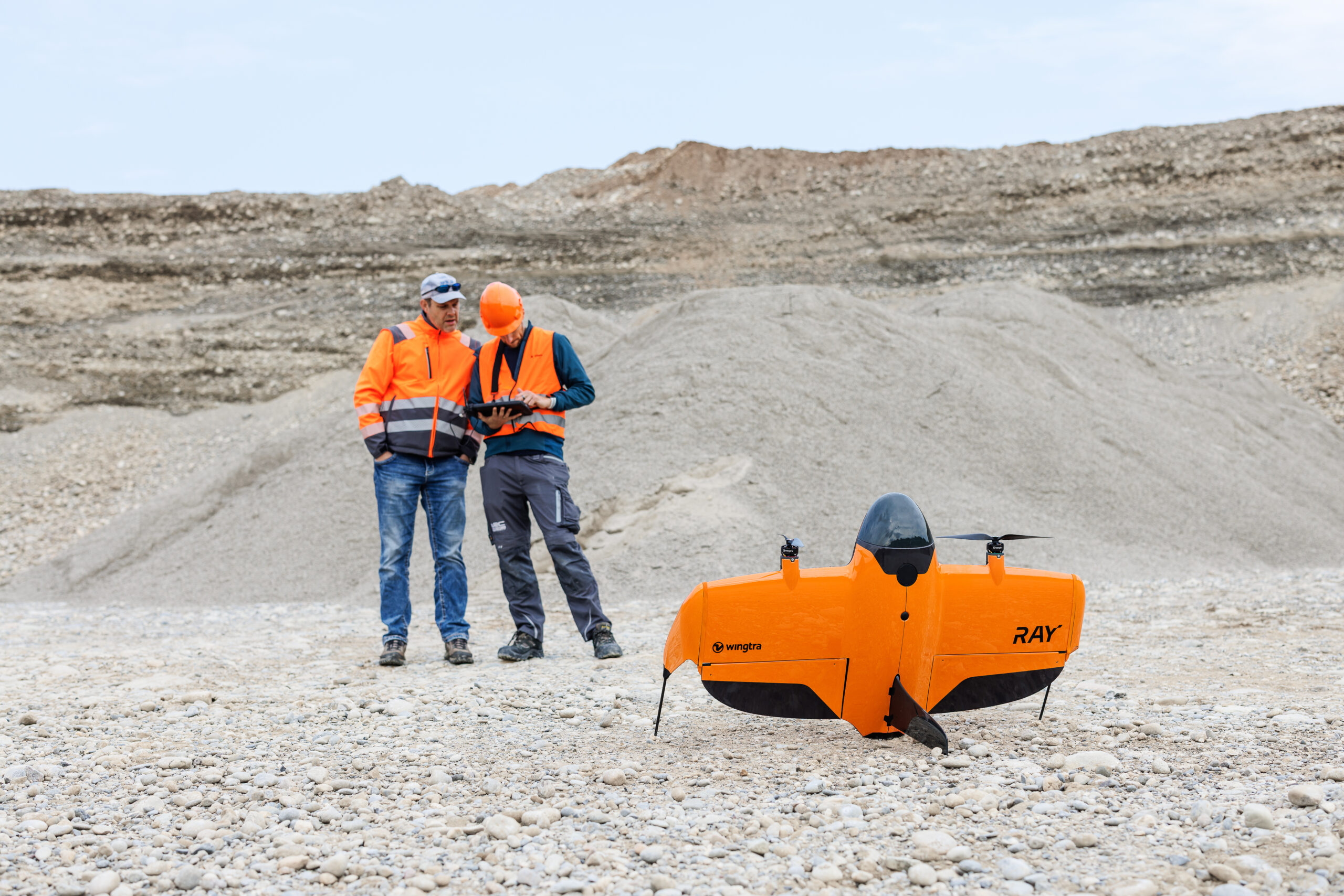
SURVEY24 is a cost-effective mapping payload designed for general survey and topographic mapping needs. Its 24 MP APS-C sensor and integrated geotagging enable professional aerial data capture suitable for construction monitoring, land surveys, stockpile measurements, and municipal mapping projects where balanced performance and efficiency matter.


Cost-effective mapping
Provides essential photogrammetry capabilities at a budget-friendly sensor tier.
Reliable imagery
24 MP RGB sensor delivers clear mapping data for standard workflows.
Wide coverage
Maps up to ~330 ha (820 ac) per sortie at standard altitudes.
Suitable for everyday tasks
Suitable for routine survey operations and general terrain mapping.
SURVEY24 marries a 24 MP APS-C RGB sensor with low-distortion optics and observation geotagging to deliver dependable aerial imagery for everyday mapping applications. At standard operating altitude (120 m), it achieves a ~2.4 cm/px GSD, covering broad survey areas efficiently. While not as high fidelity as 61 MP payloads, its balance of resolution, coverage, and affordability makes it widely applicable for land surveys, construction progress checks, stockpile and volumetric assessments, and baseline environmental mapping. Integrated PPK supports professional geolocation accuracy.
- Sensor: 24 MP APS-C RGB
- Lens: Low-distortion, nadir
- GSD: ~2.4 cm/px @ 120 m
- Coverage: ~330 ha (~820 ac)
- Absolute accuracy (PPK): ~3 cm RMS
Technical specifications