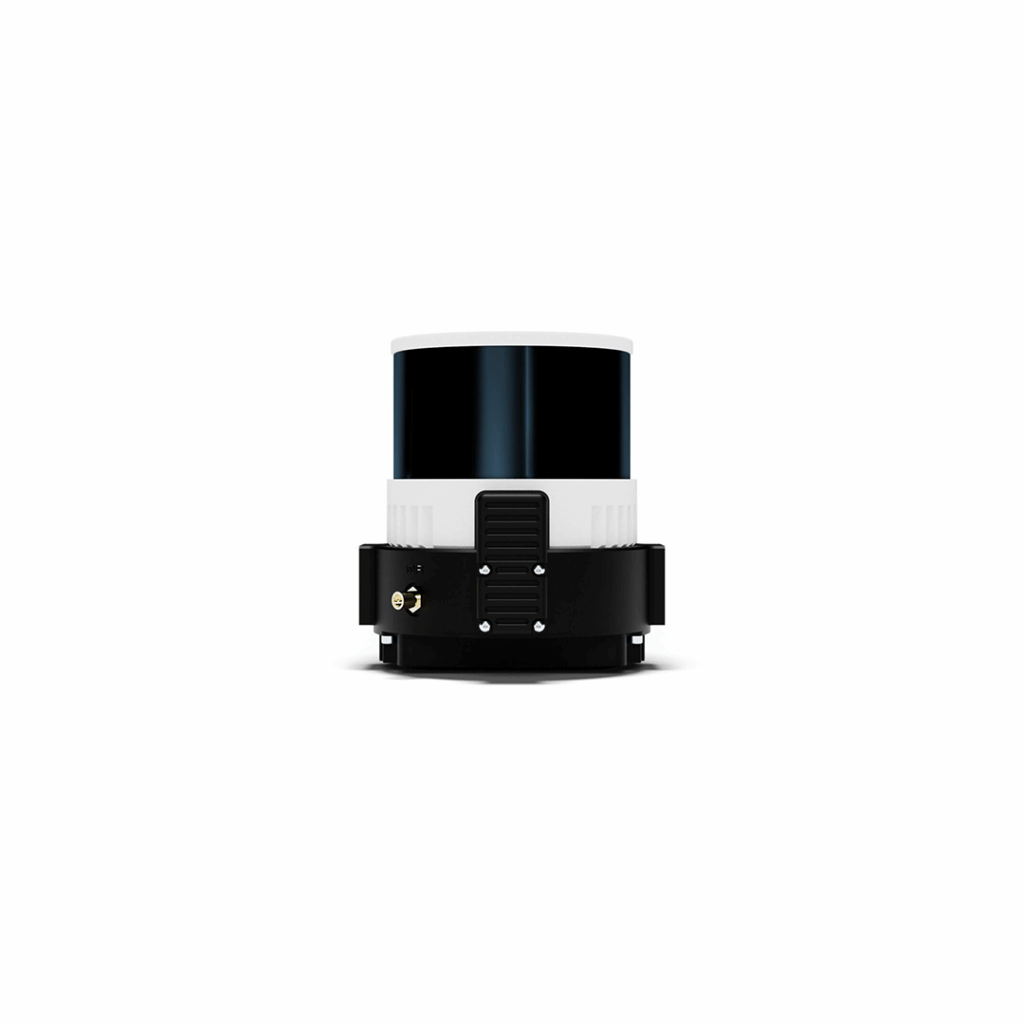
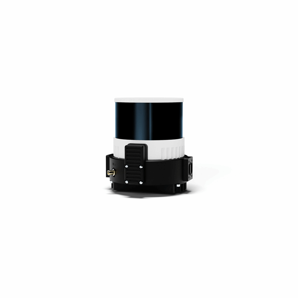
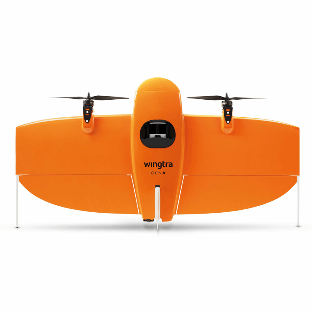
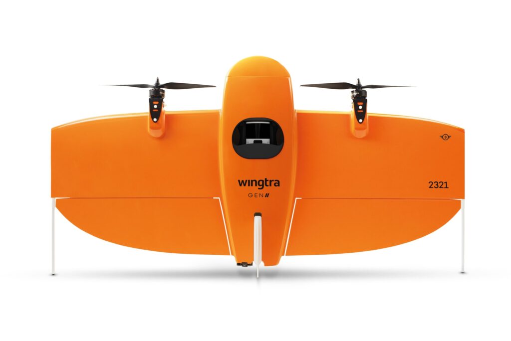
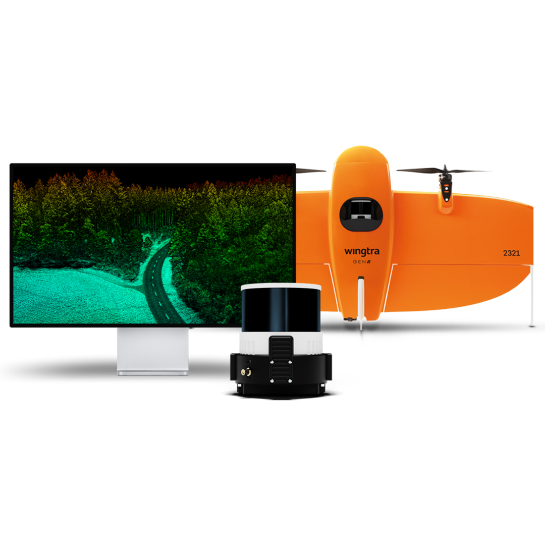
Get your high-quality, reliable LIDAR data more efficiently and easier than ever before with this best in class solution.

KEY FEATURES
Tech specs
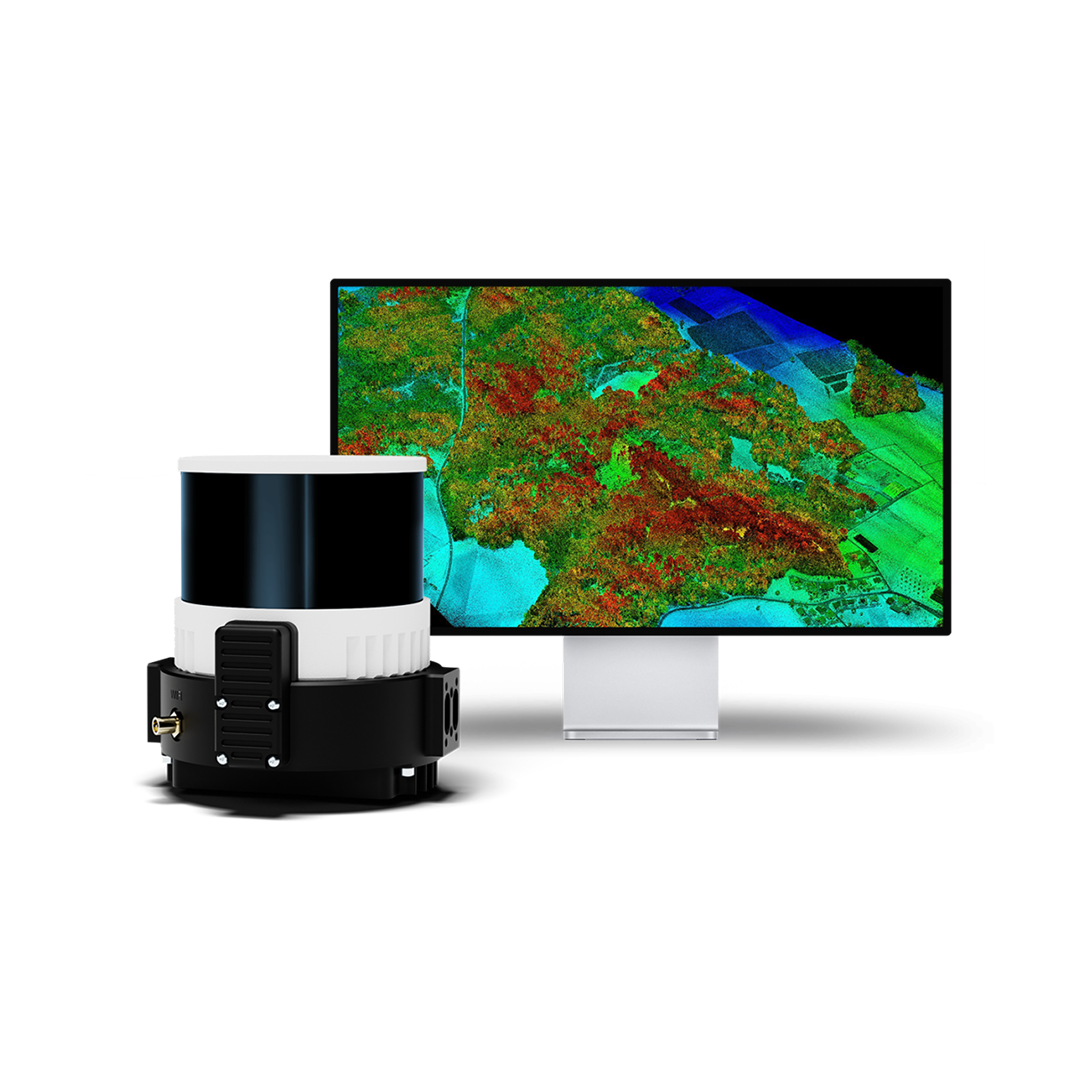
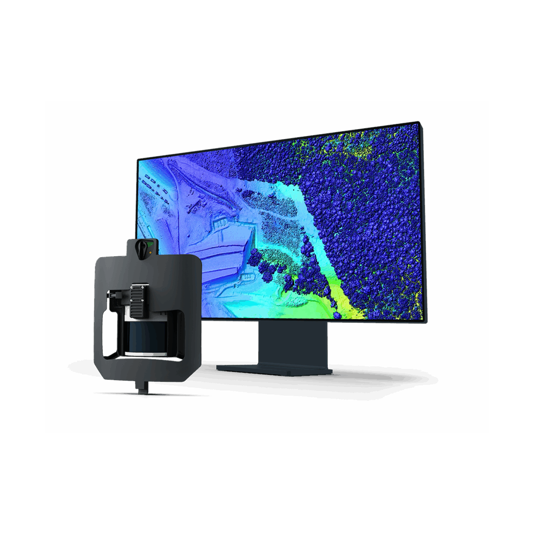
Combining a top-tier Hesai scanner, Inertial Labs IMU and NovAtel GNSS, Wingtra LIDAR cuts out time-intensive extra post-processing strip alignment work and delivers precise terrain information right away from each hyper-efficient flight.
• Payload Weight (with mount): ~1,030 g
- Laser Scanner: Hesai XT32 M2X rotating sensor with 90° horizontal × 40.3° vertical FOV; Class 1 (905 nm)
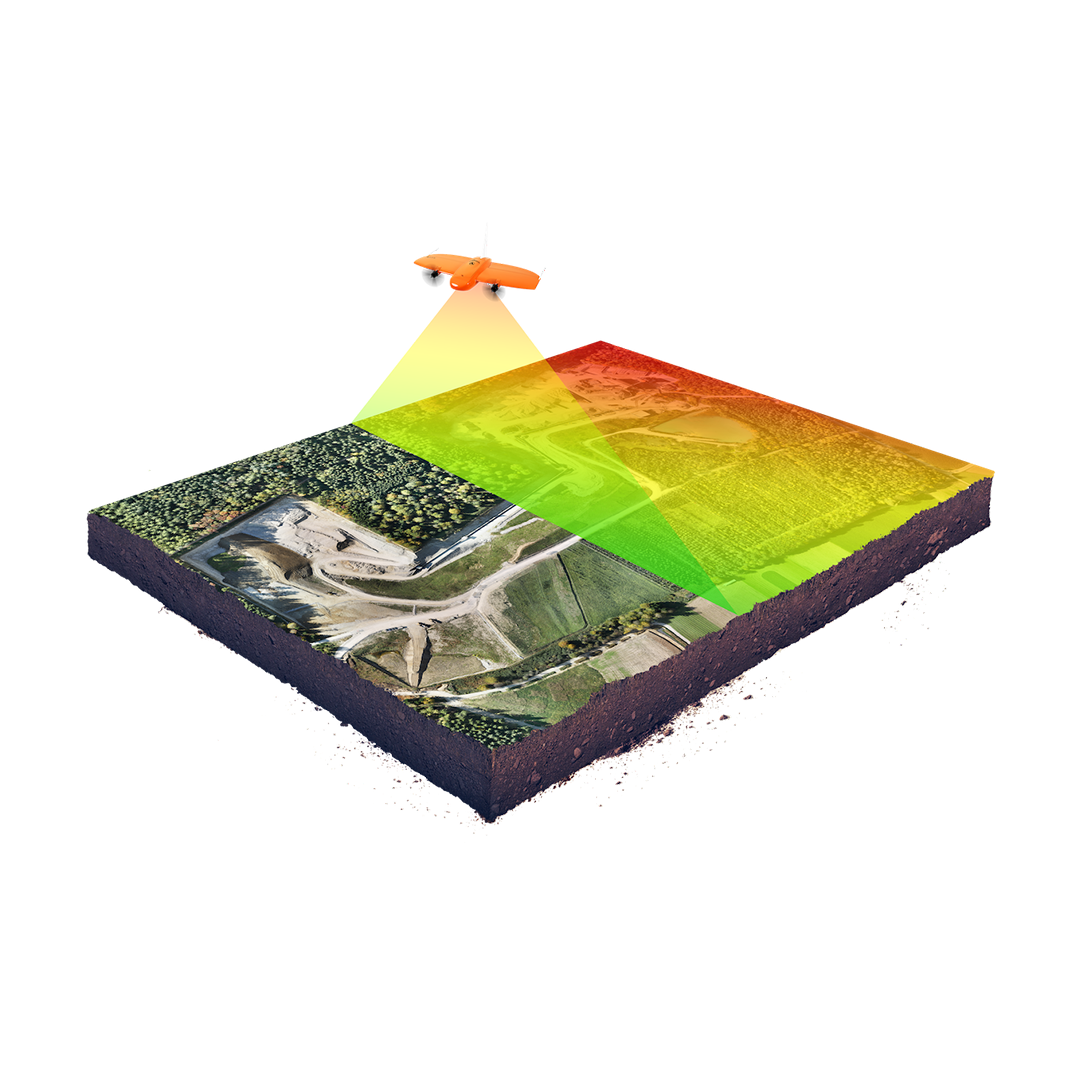
- Point Density (@90 m AGL, 50 % overlap): ~110 pt/m² (hard), 220 pt/m² (low veg), 330 pt/m² (high veg)
- Coverage Area (@90 m AGL, 30 % overlap): Up to ~360 ha (890 acres) per flight
- Vertical Accuracy: ~3 cm (RMS) at 90 m altitude
- Pulse Rate: 640 kpps (1 return), 1.28 Mpps (2 return), 1.92 Mpps (3 return)
- IMU & GNSS: Inertial Labs tactical-grade IMU P + NovAtel OEM7500 multi GNSS with ~0.5 cm PPK accuracy
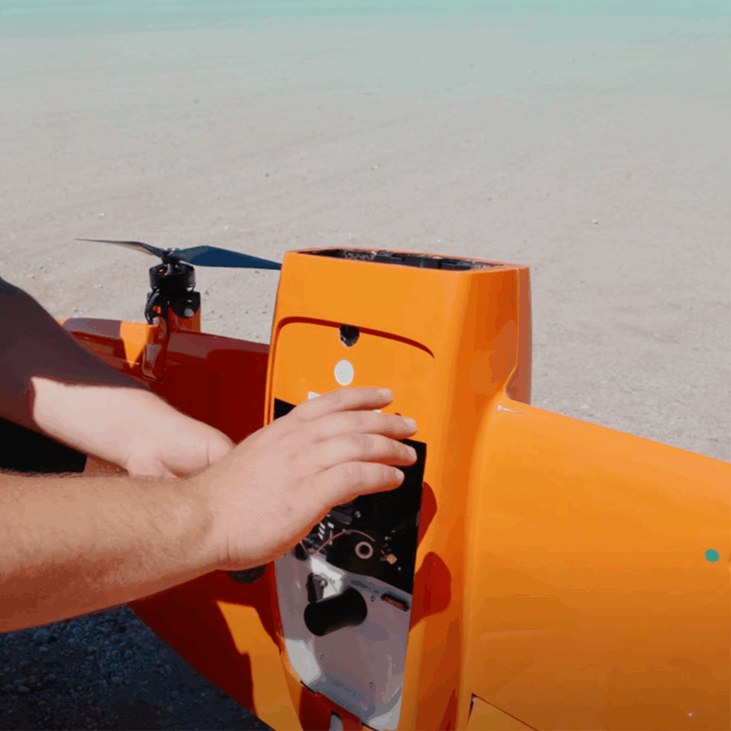
- Quick Initialisation: One-minute ready-to-fly setup with no calibration required
Industry applications
Resources
WORKS WITH


