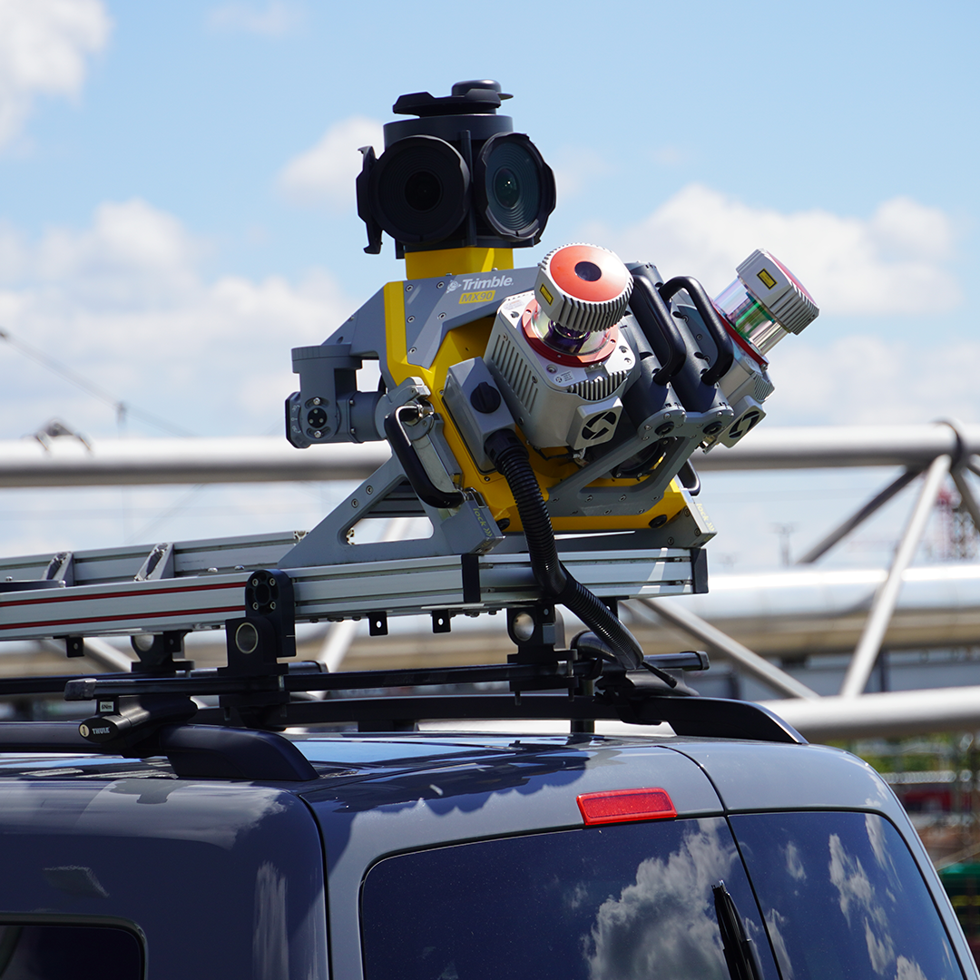
Trimble MX90
£POA
PRODUCT ENQUIRY
Capture, process, extract and share high density point clouds and rich, immersive imagery.
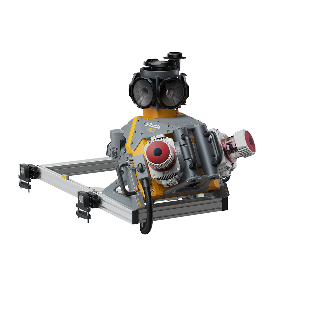
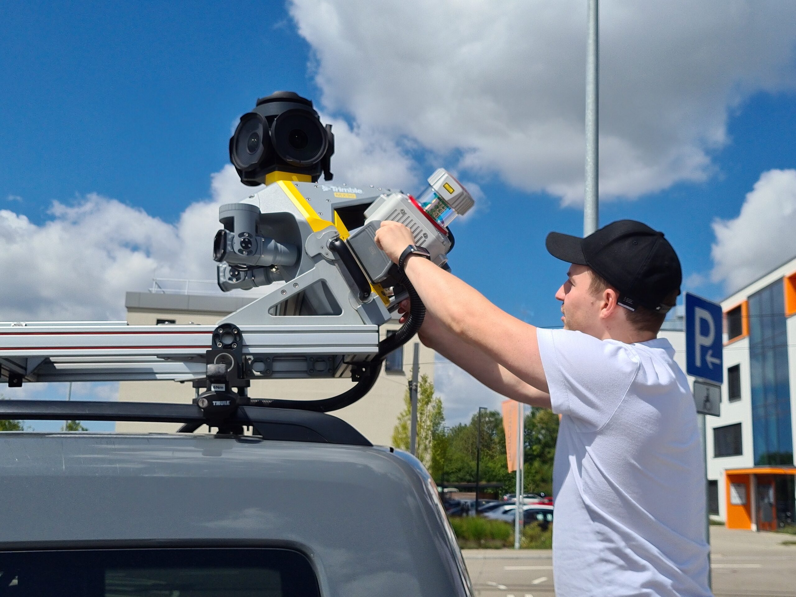
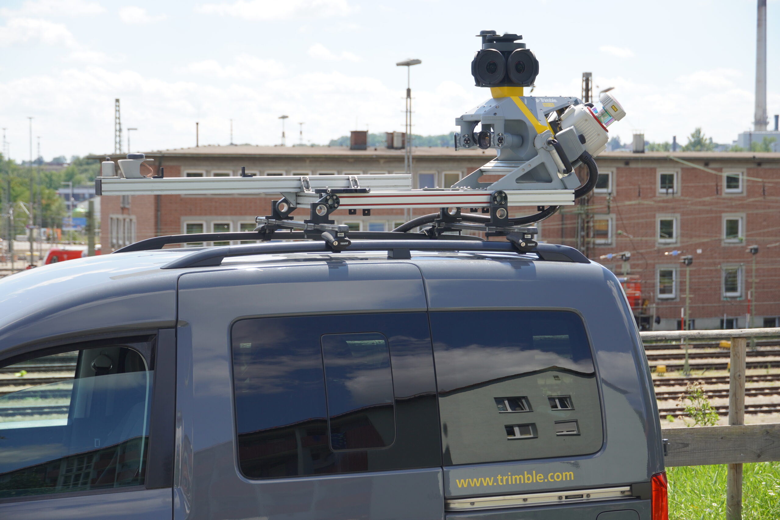
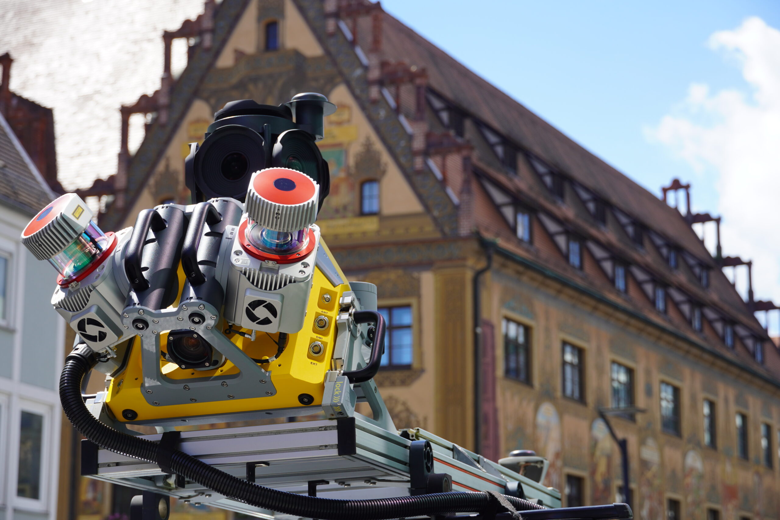
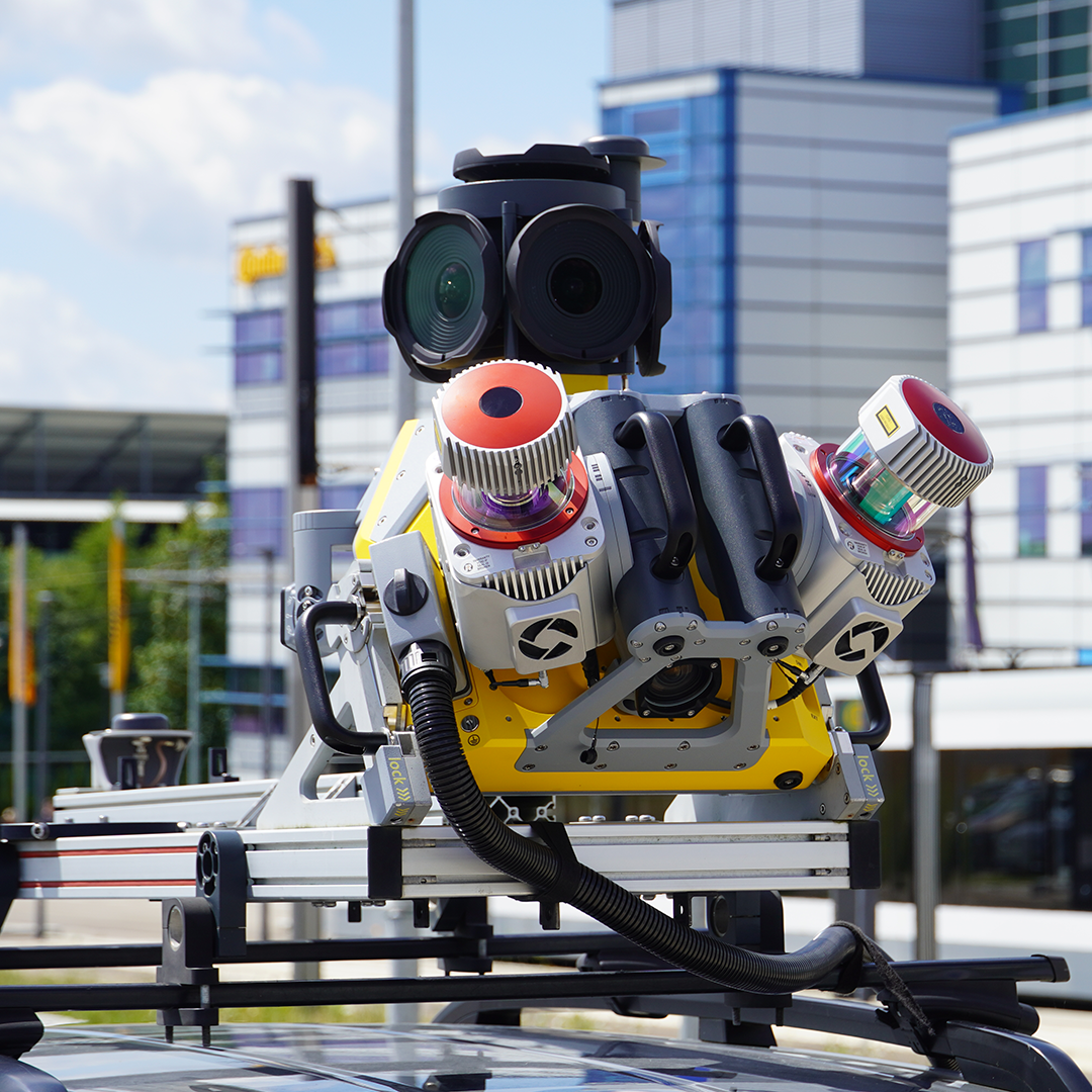
The Trimble® MX90 system is part of a complete field-to-finish mobile mapping solution that combines leading-edge hardware with intuitive field software and an integrated office software workflow. Designed to capture rich data for modelling and high-density point clouds, making it ideal for large survey and engineering projects.

Quickly obtain geospatial data
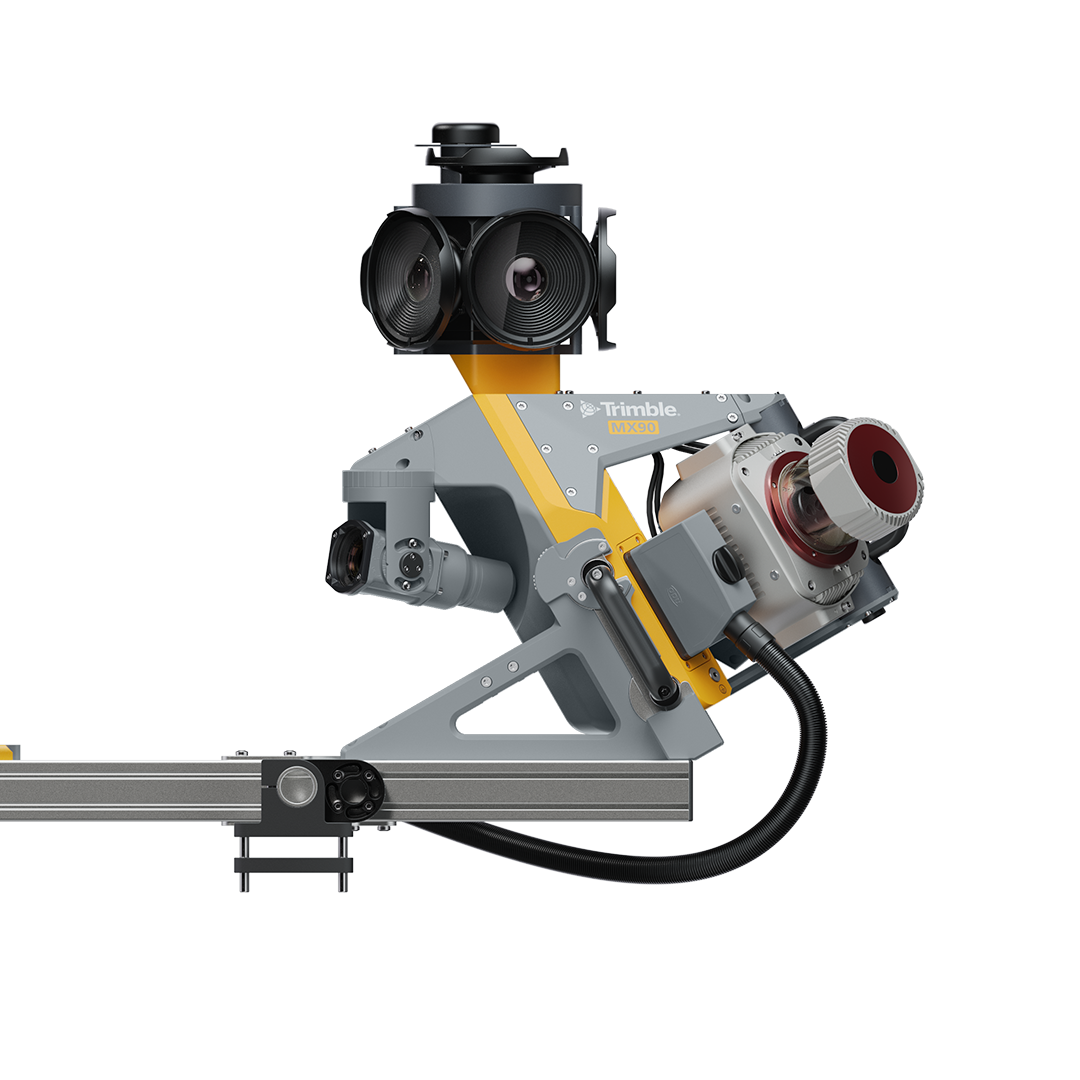
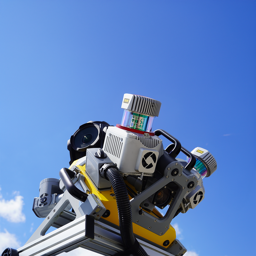
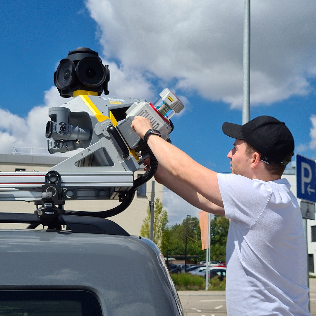
Control data acquisition with any smart device and easily adjust the lasers and oblique camera for the best orientation.
Exceptional efficiency and safety
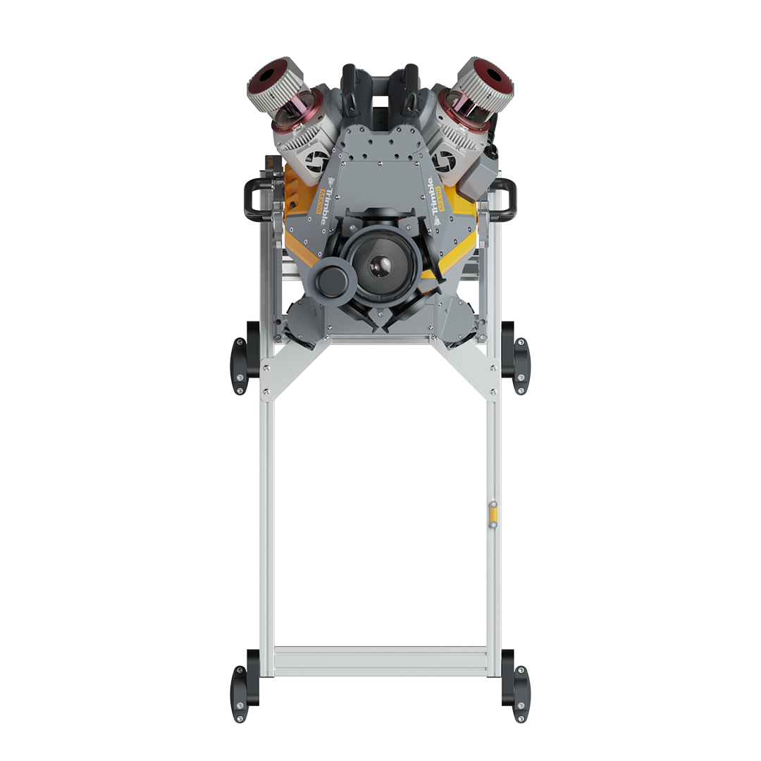
Single person operation reducing on site personnel and keeping the surveyor safely in the vehicle.
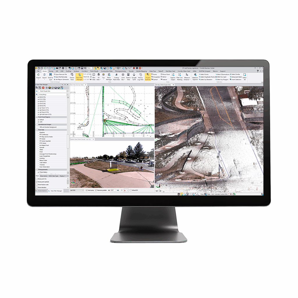
High quality deliverables
Create, inspect and analyse high quality survey, engineering CAD and GIS deliverables, by leveraging the data fusion capabilities of Trimble Business Center.
Publish & collaborate
Share point clouds and asset images via the cloud to all stakeholders through a choice of KOREC offered secure, cloud sharing platforms.
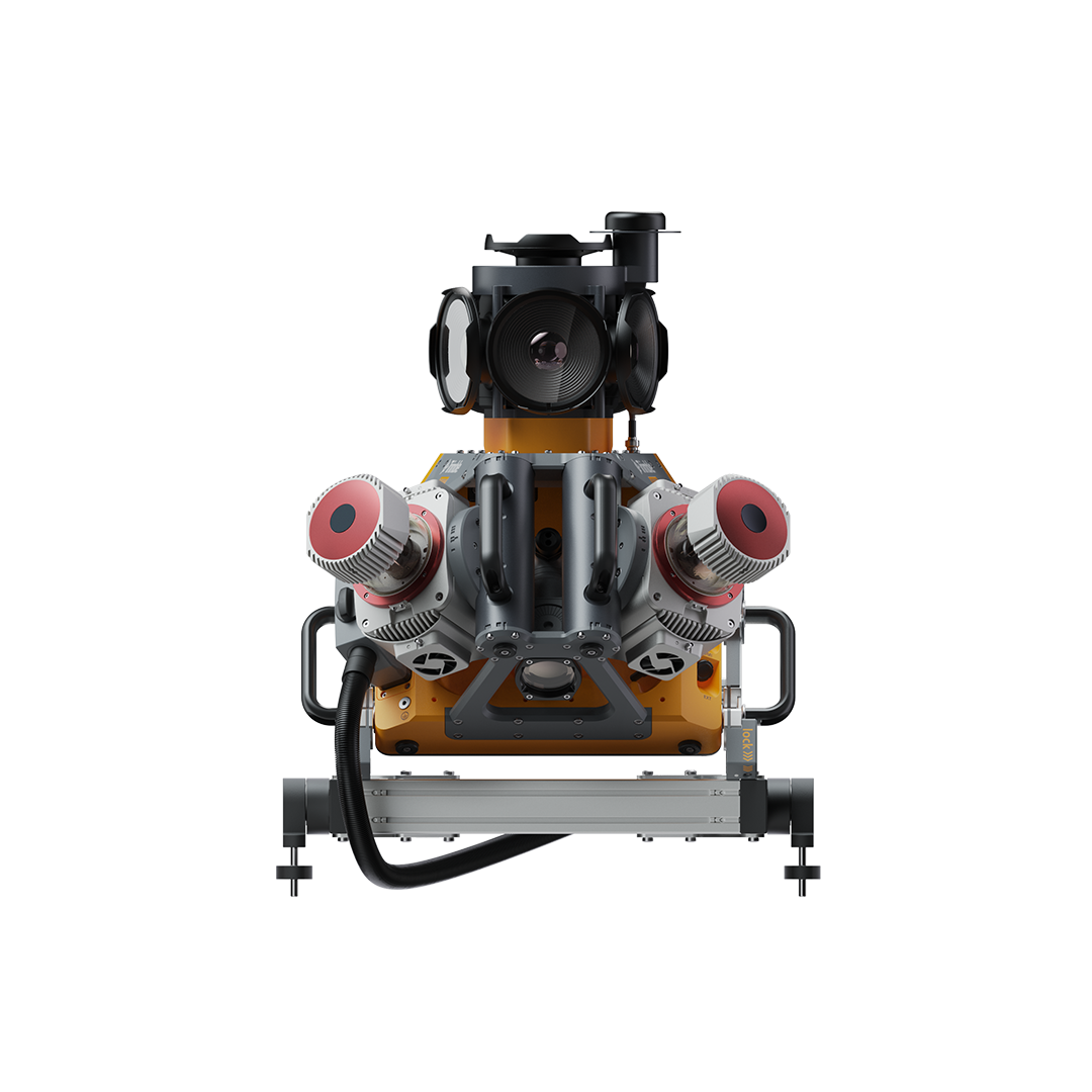
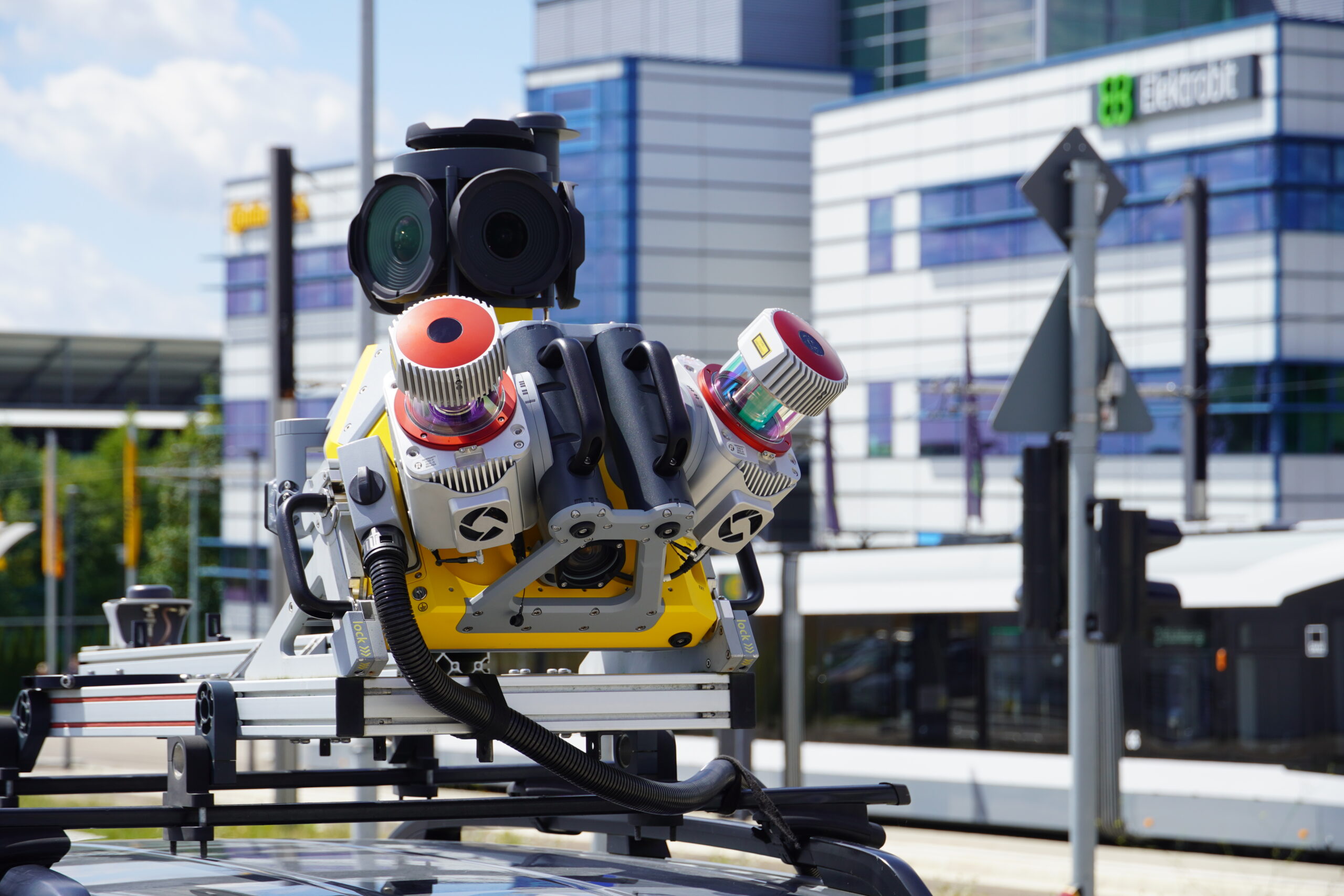
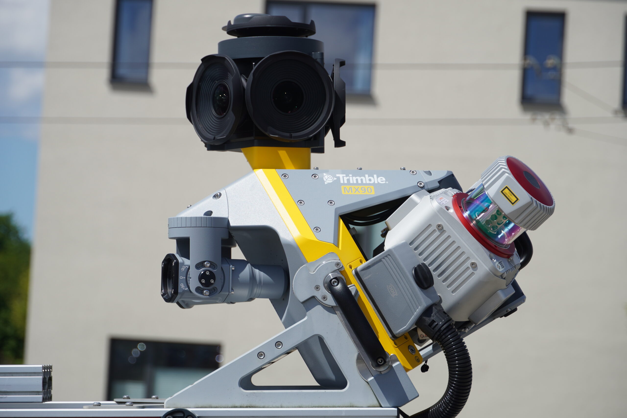
The Trimble MX90 delivers high-resolution immersive imagery for feature detection and in-spection tasks and high-density colourised point clouds with rich and accurate colour projections. It produces precise feature-rich data from trusted field-proven laser technology and immersive 360-degree panoramic and targeted cameras.
• Weight – sensor unit 37 kg
- IP rating – sensor unit IP64
- Spherical camera – 72 MP
- Planar cameras – 2 X 12 MP side facing, 1 X 12 MP backward/downward facing
- Laser effective measurement rate – up to 3.6 MHz
- Scan speed – 500 scan/sec
- Embedded Trimble GNSS-inertial system – Trimble field-to-finish workflow
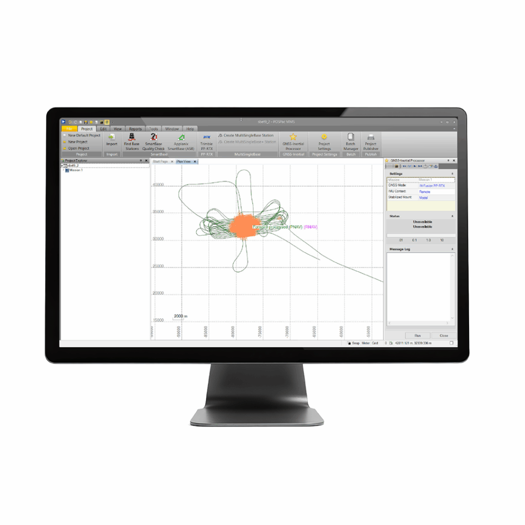
Applanix POSPac MMS
A start-to-finish workflow for direct georeferencing.