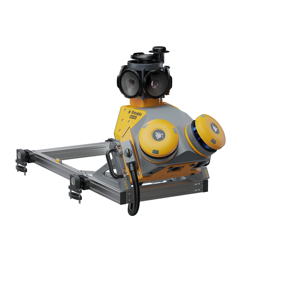
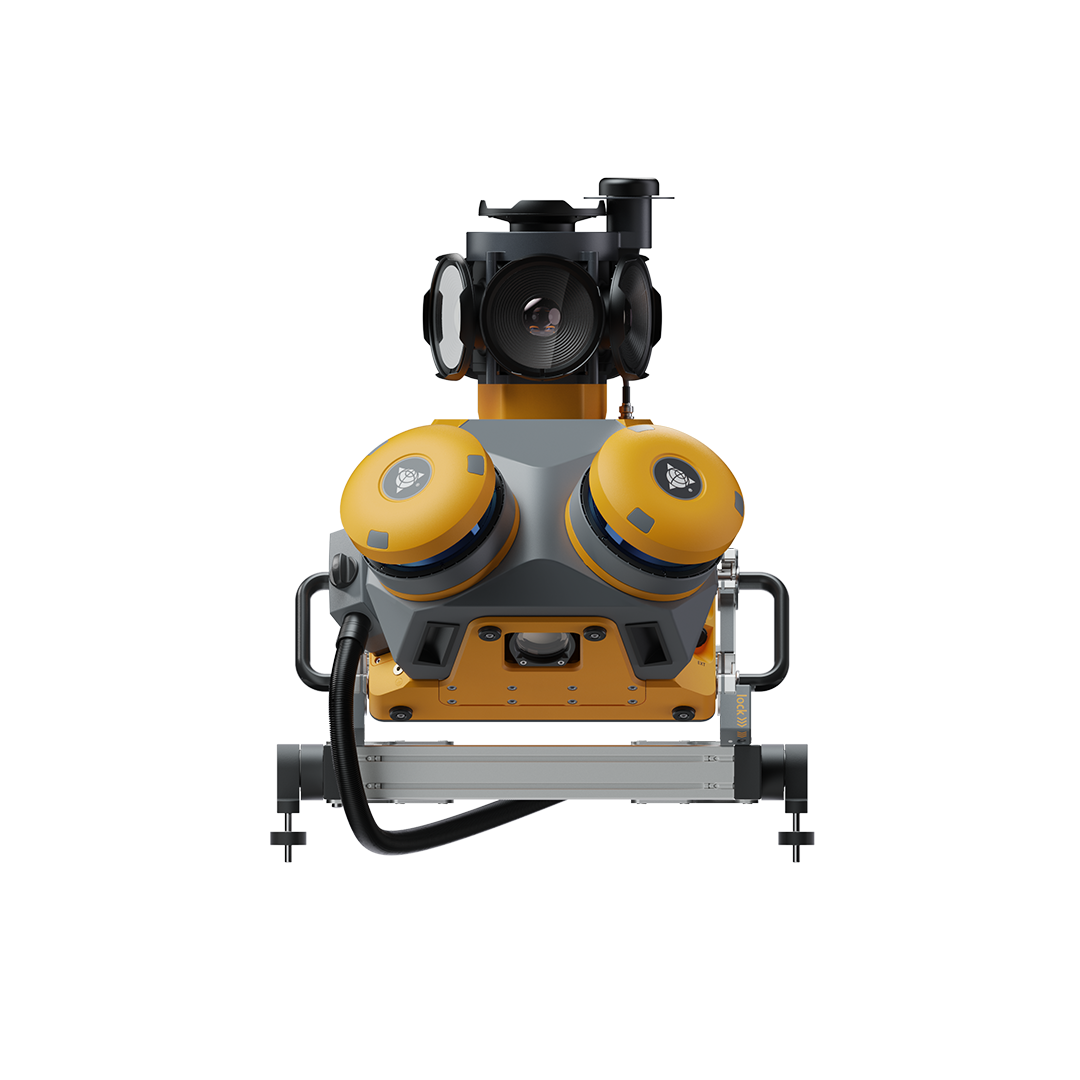
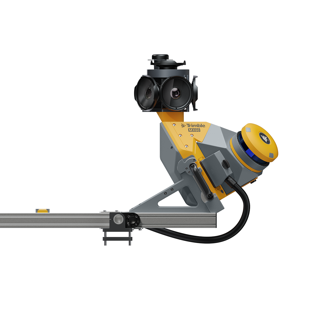
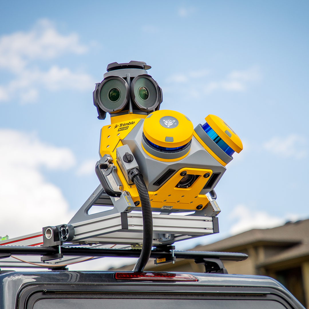
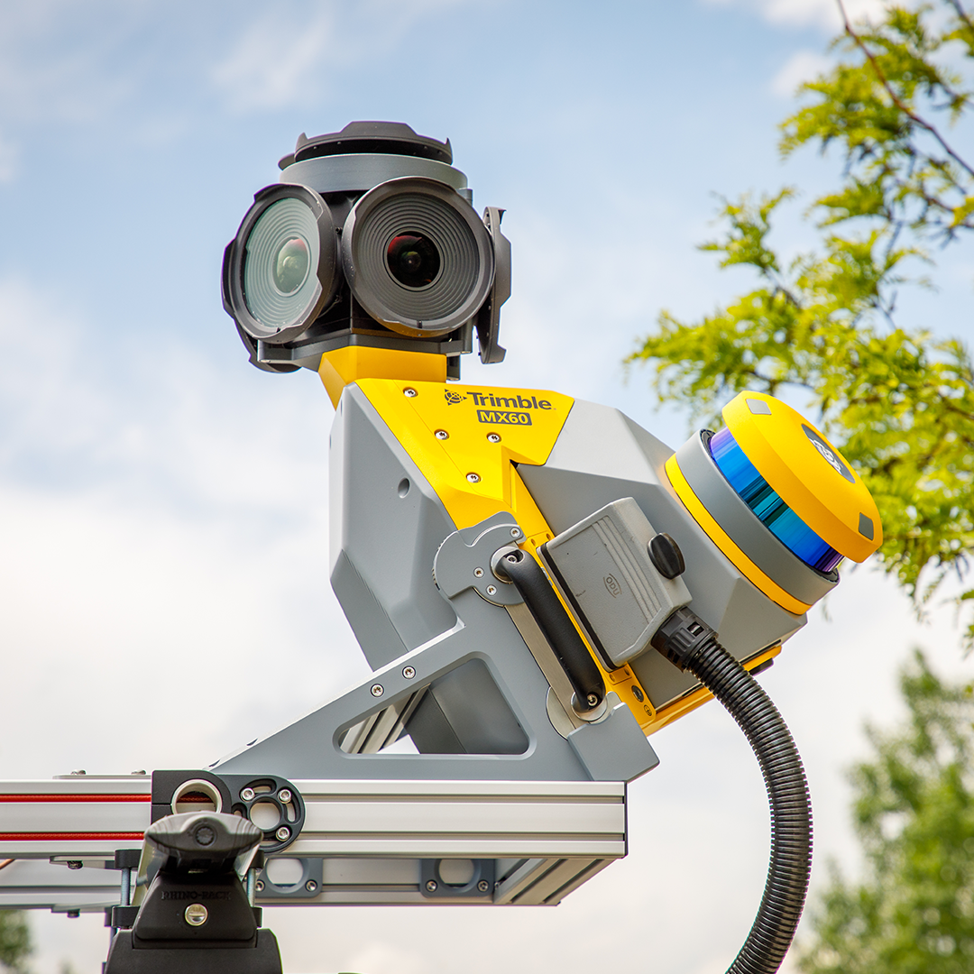
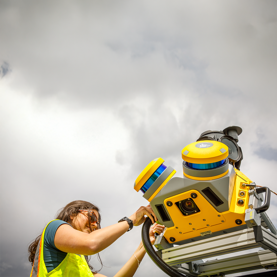
Trimble MX60
£POA
PRODUCT ENQUIRY
A flexible system – Core, Pro or Premium – with a downward facing camera and state of the art laser scanners

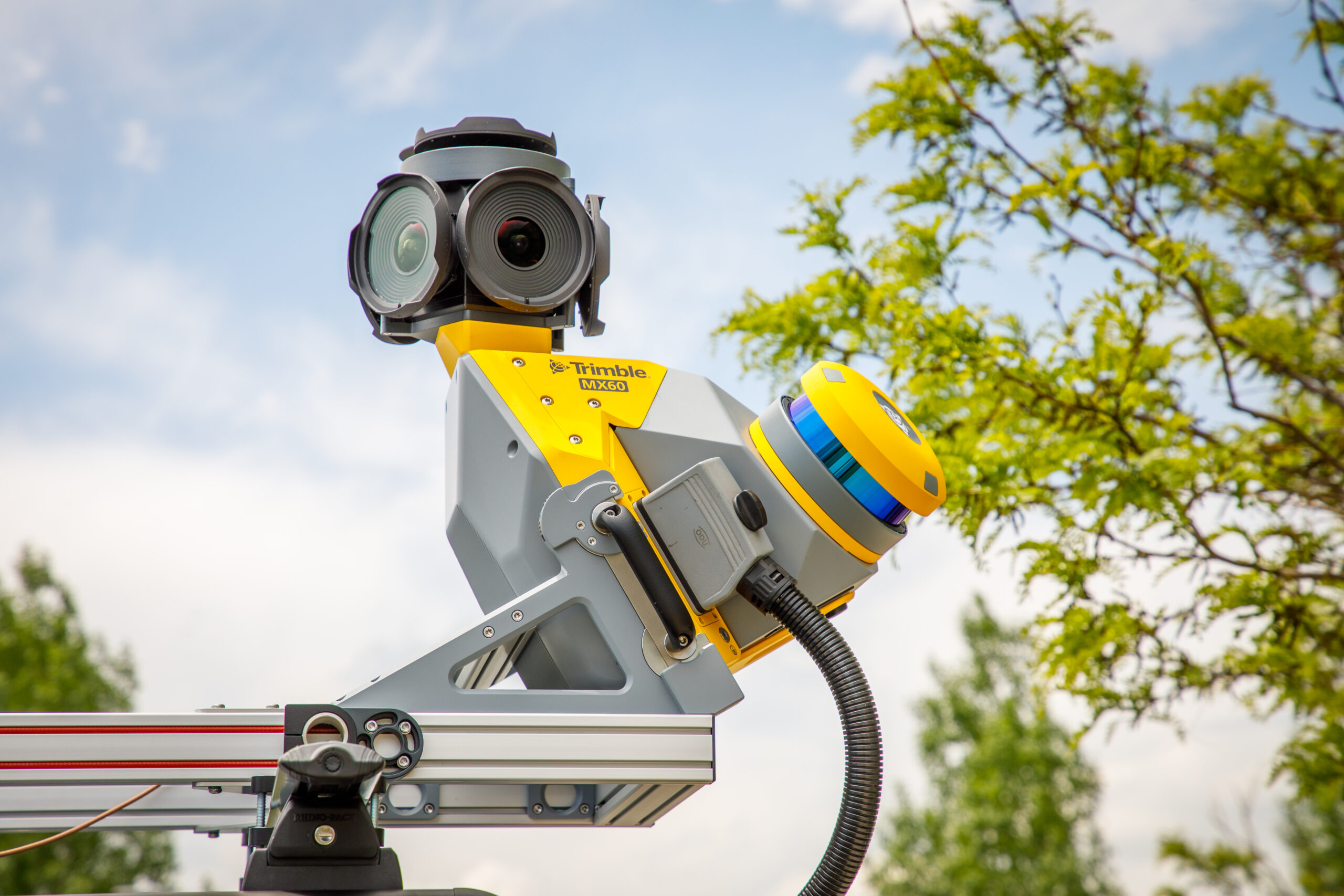


With the MX60, expect high-accuracy positioning, optics, and a downward-facing camera – ideal for road analysis and asset management. Additionally, the MX60’s intuitive field software and powerful office tools enable a seamless field-to-finish workflow.
It’s also easy to install and integrate into Trimble’s ecosystem for easy project sharing whilst supporting digital twins and BIM for higher-quality data and deliverables.
Three different configurations ensure that it meets the diverse needs of any project:
• MX60 Core is perfect for those getting started with mobile mapping, for example on paving projects, and those who need to tag and manage assets
• MX60 Pro is ideal for road analysis, including identifying minute details such as cracks in road surfaces
• MX60 Premium is for enhanced positioning, perfect for mapping in dense urban centres to examine road conditions, as well as all of the above

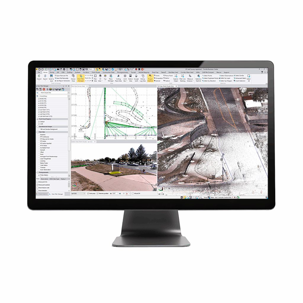
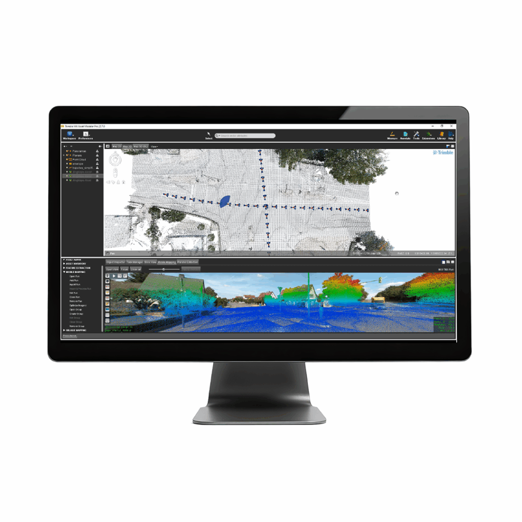
Quickly obtain asset data
High-quality colourised point clouds and 360° immersive imagery with simple, smart device operation and single cable sensor connection.
Exceptional efficiency and safety
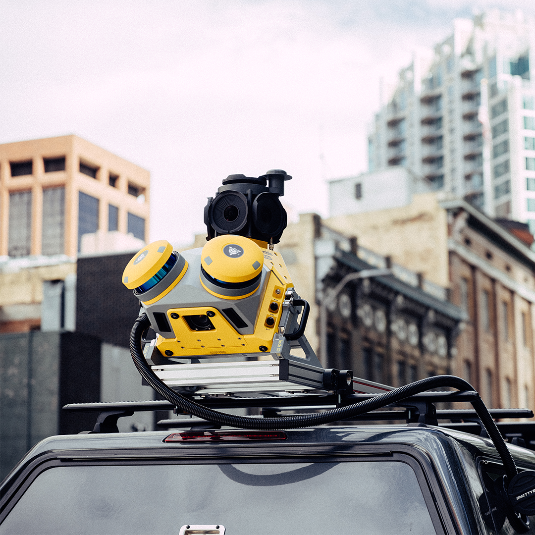
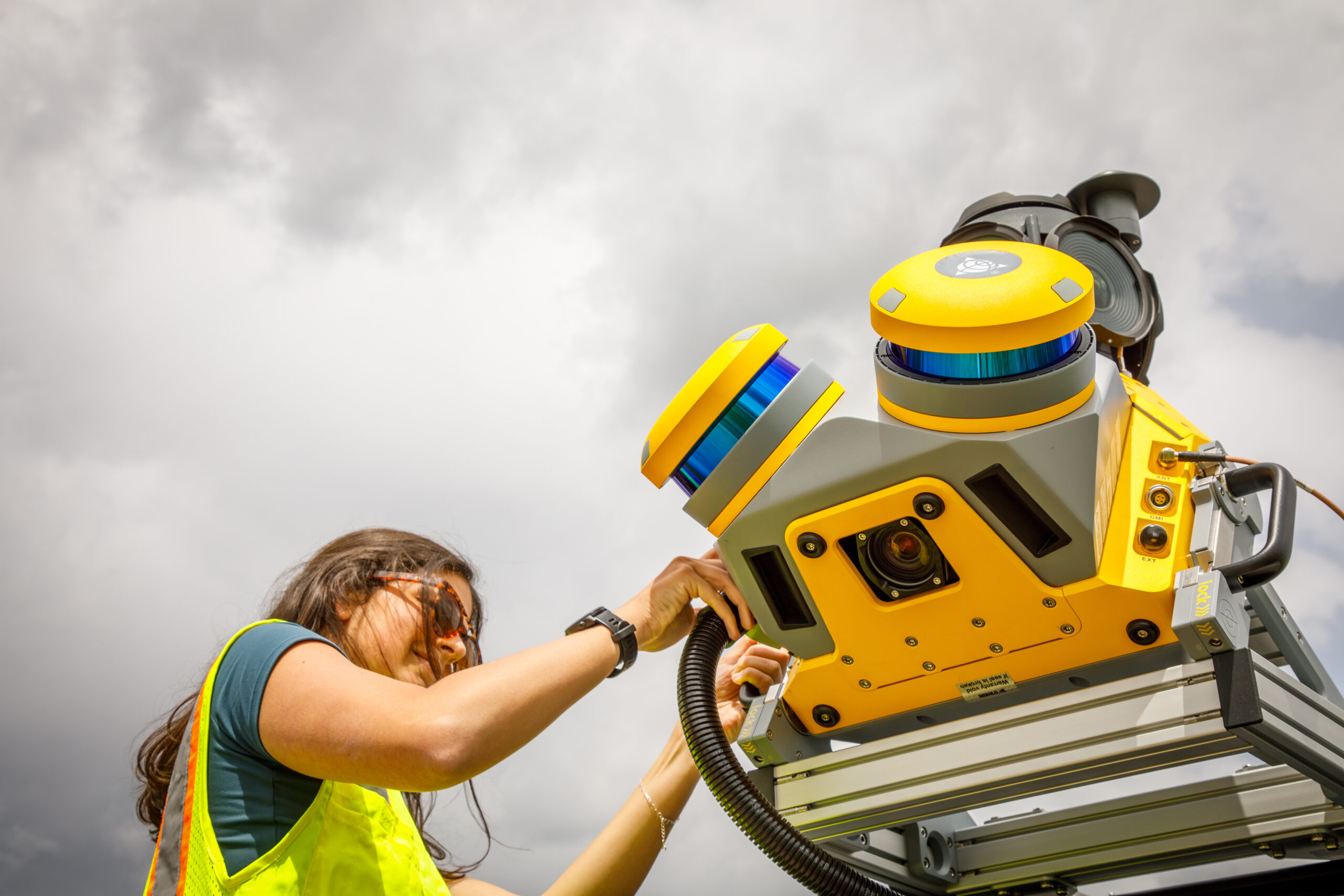
Single person operation reducing on site personnel and keeping the surveyor safely in the vehicle.
High-quality deliverables
Create surveying, engineering and GIS deliverables using existing data schemas and connect to existing asset databases.

Publish, collaborate and store
Share point clouds and asset images via the cloud to all stakeholders through a choice of KOREC offered secure, cloud sharing platforms.
This practical Mobile Mapping system combines precise LiDAR data and immersive panoramic imagery and has state-of-the-art Trimble LiDAR technology integrated with a proven and reliable mobile platform. The system is perfect for capturing accurate point clouds for applications such as road surfaces, highway maintenance, or asset management.
• Weight – from 24 kg
- IP rating – sensor unit IP64
- Spherical camera – up to 72MP
- Standard pavement inspection camera – 12MP
- Laser effective measurement rate – up to 2000 kHz
- Scan speed – up to 400 scans/sec
- Embedded Trimble GNSS-inertial system – Trimble InFusion+ with ProPoint engine
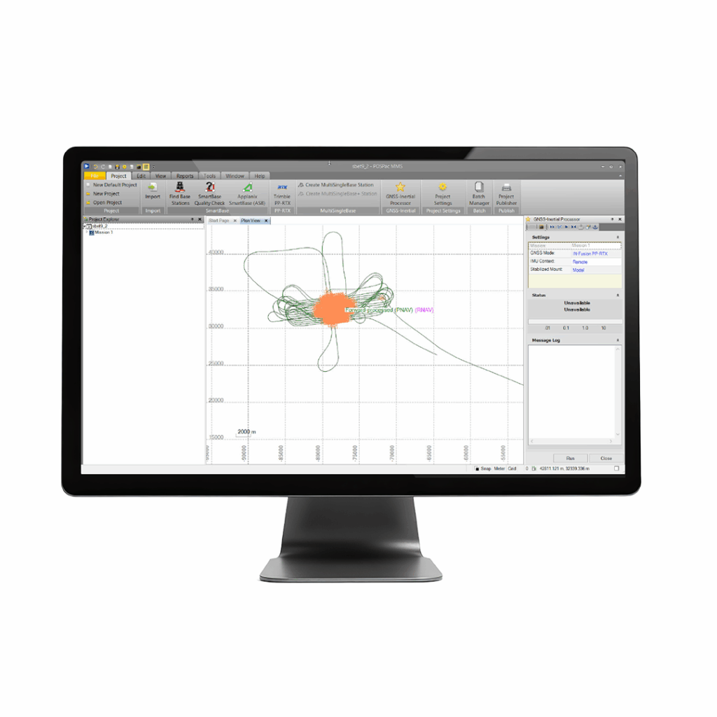
Applanix POSPac MMS
A start-to-finish workflow for direct georeferencing.