Terrasolid TerraScan
£POA
PRODUCT ENQUIRY
The industry standard for managing and processing point clouds
TerraScan from Terrasolid is the industry standard for managing and processing point clouds – a reputation its held for over 25 years.
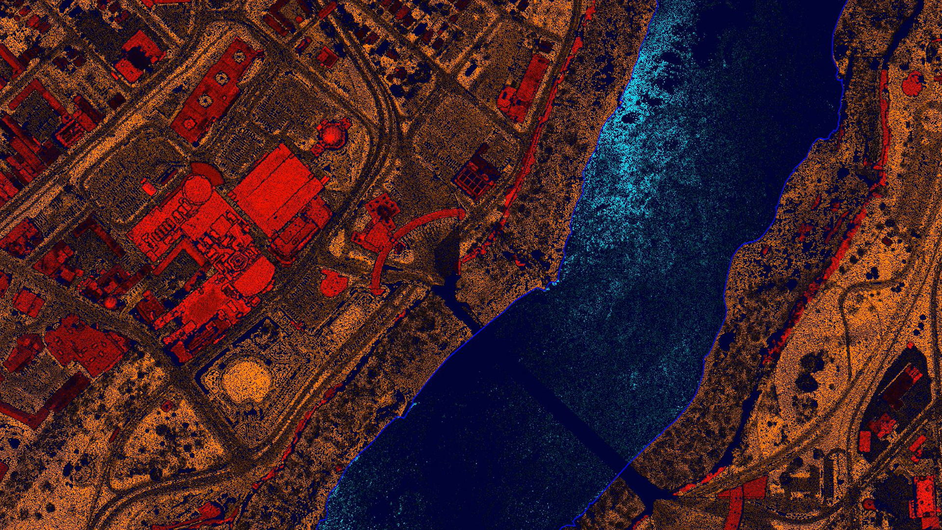
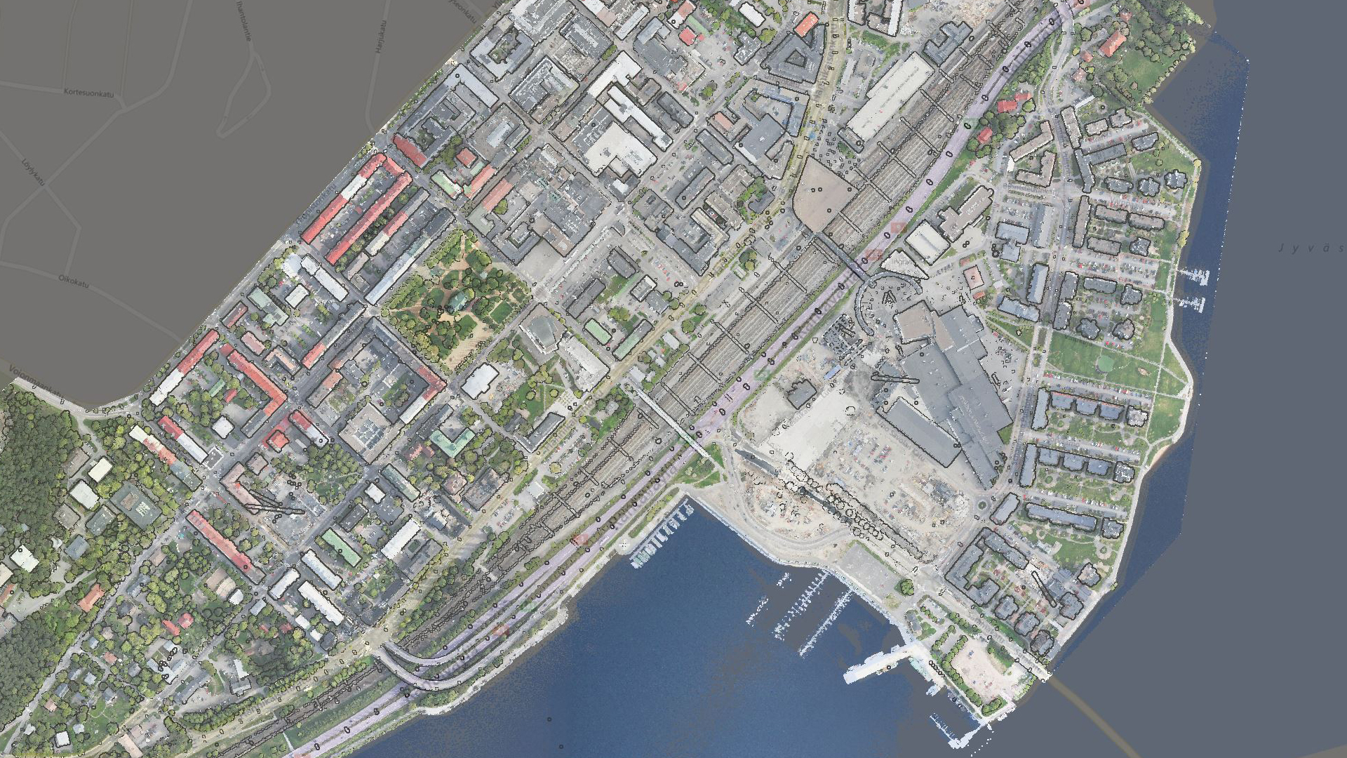
TerraScan is the main app in the Terrasolid software suite, designed to make it easy for you to manage, process and visualise point cloud data. Deliverables include high quality classified point cloud data or vector data to be used in various engineering and maintenance applications.
- Import and structure projects
- Effortlessly handle huge datasets
- Process vector data as well as point data
- Up to fully automatic classification
- Supports a wide range of data formats, including LAS and LAZ
Examples of what TerraScan can do include: automatically produce 3D vector models of buildings up to LOD2 – even over nationwide areas, vectorise power lines, run corridor analysis reporting that reports danger objects, analyse road surface conditions, detect paint lines and curbs. The results from the fully automatic classification can be refined by using half-automatic and manual classification tools in combination with versatile 3D point cloud visualisation options.


Power and precision
TerraScan offers power and precision in the processing of all types of point clouds. It's every industry's go-to tool to turn point cloud and vector data into valuable information.
Automate and distribute processing
Automatic classification routines can be easily batch processed through TerraBatch macros. These can be run outside of TerraScan, such as on network workstations machines.

The right edition for your workflow
TerraScan is available in Full, UAV and Lite versions, so whatever your use case or industry, you can get the right mix of powerful features to quickly deliver your outcomes
The defacto industry standard
TerraScan is the go-to software for working with LiDAR data, across all industries. It's a useful tool that enables professionals in both producing data, and generating deliverables.
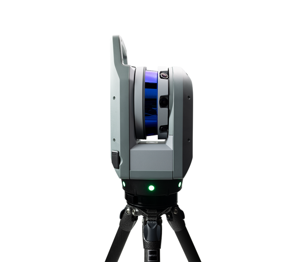
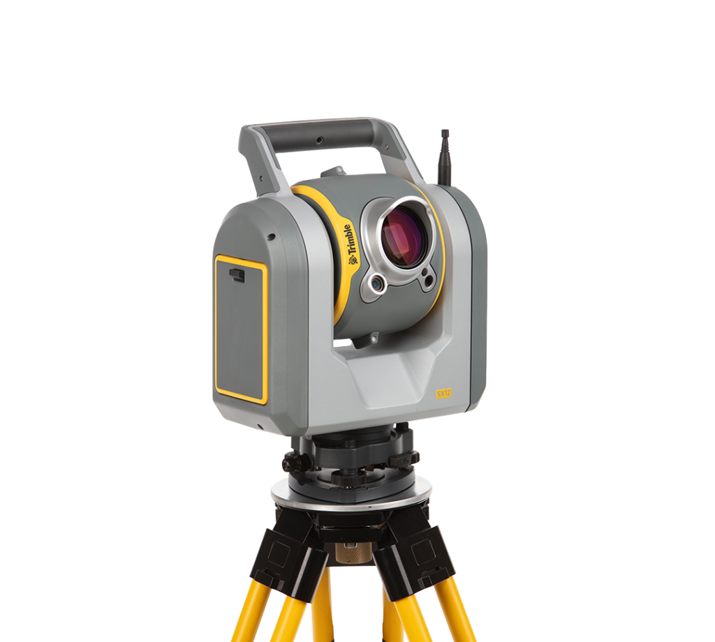
Trimble X9
Capture reality in minutes and get the job done right, first time.
£POA
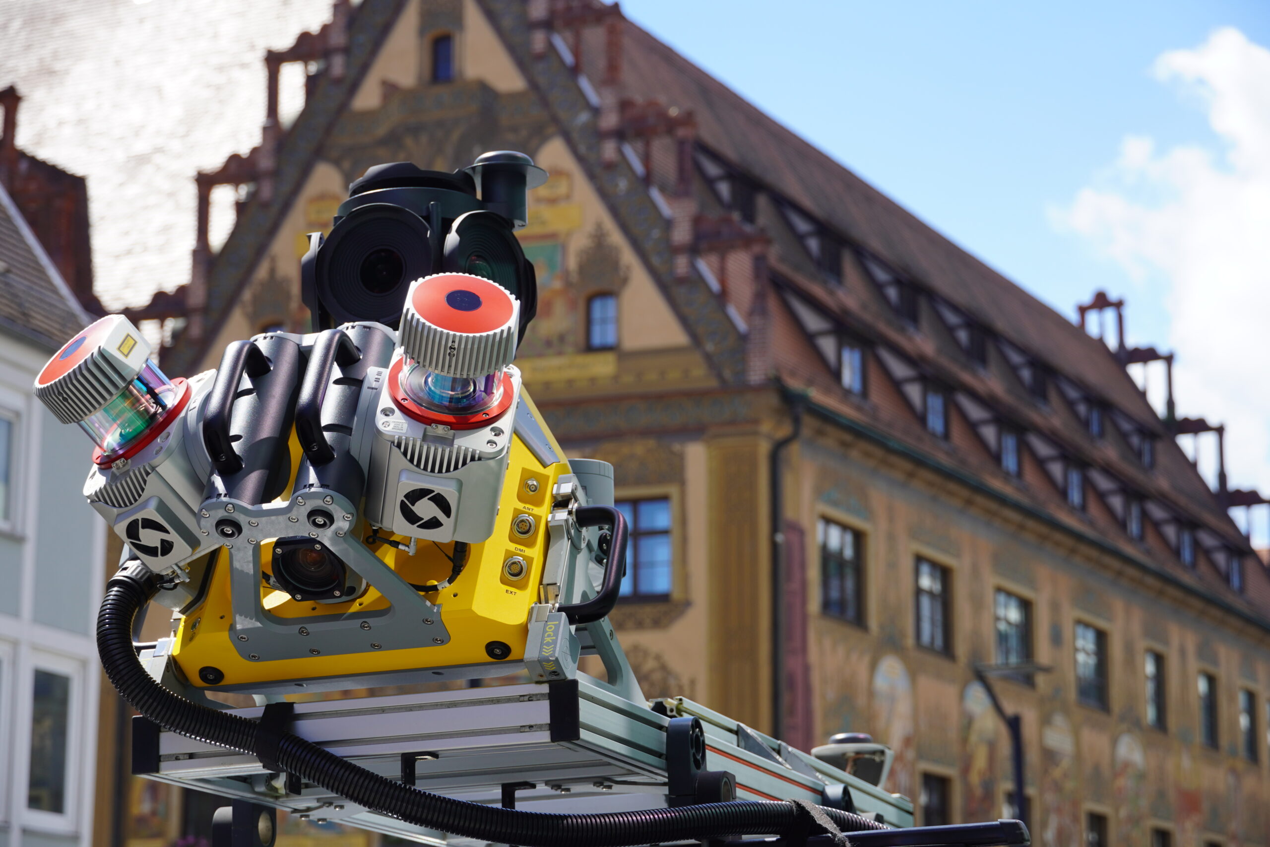
Discover vehicle-mounted, SLAM, and other mobile mapping systems
Discover mobile mapping