Terrasolid TerraMatch
£POA
PRODUCT ENQUIRY
A sophisticated tool for improving the accuracy and quality of the raw laser point cloud.
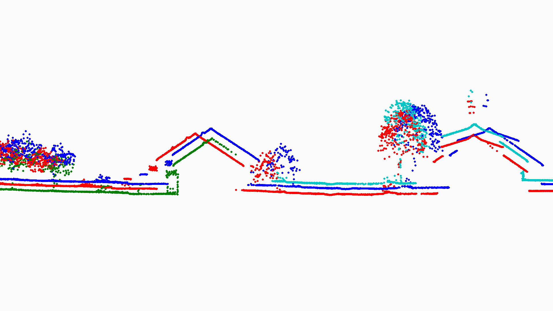
TerraMatch is a sophisticated tool for improving the accuracy and quality of a raw laser point cloud through calibration and strip adjustment. It compares laser data from overlapping flight or drive paths and calculates correction values for the misalignment angles as well as xyz location errors. The comparison and correction value calculation can be either based on surface matching or on different types of tie lines. Tie line matching comprises points or lines on horizontal, vertical or sloped surfaces that can be used for matching flight/drive paths to each other, but also known point or line locations that enable the adjustment of the laser point cloud to control measurements.
TerraMatch has tools for for exporting a number of statistical measures which can be used for accuracy evaluation and verification. There are also tools for visual evaluation helping the user to identify areas of poor positional accuracy or large mismatch.
TerraMatch must be accompanied by TerraScan.

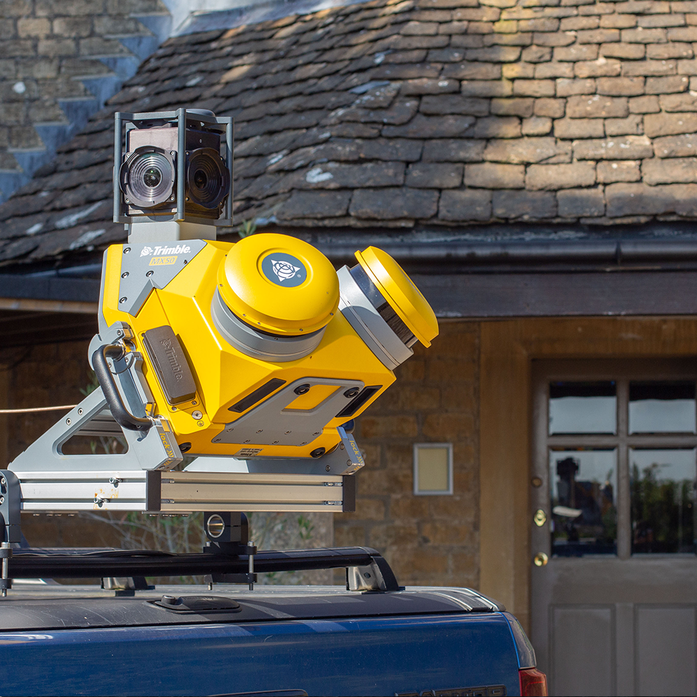
Work with airbourne and mobile data
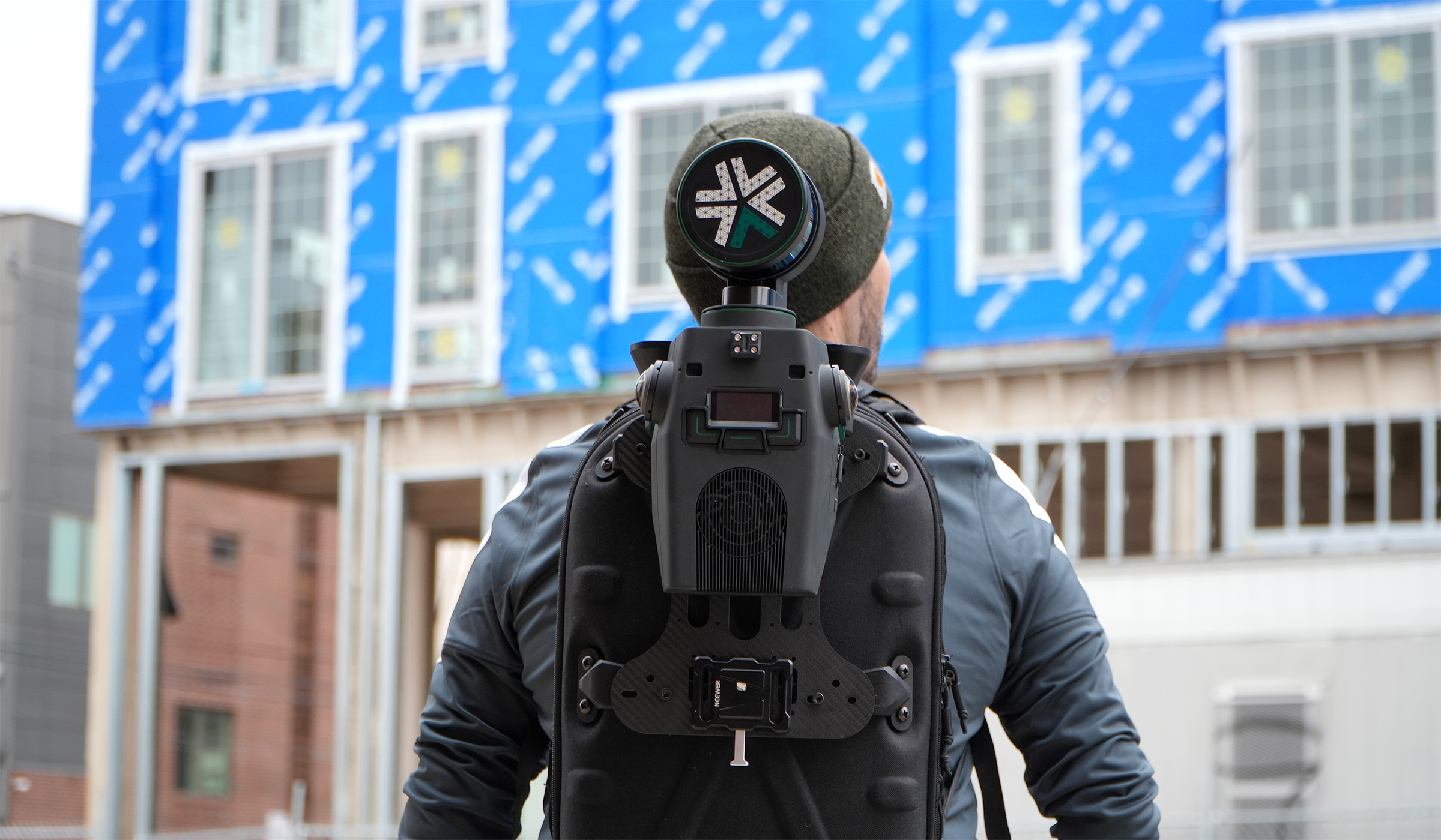
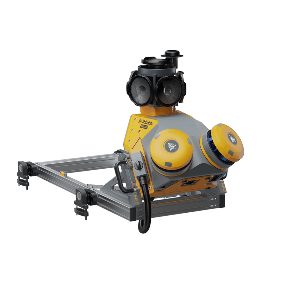
TerraMatch allows for strip adjustment of laser data from many different moving sensors, both airborne and mobile. Mobile laser scanning often requires more advanced processing and correction procedures, and so TerraMatch has specialised tools for fluctuating corrections based on control measurements and tie lines.
Calibrate misalignments with ease
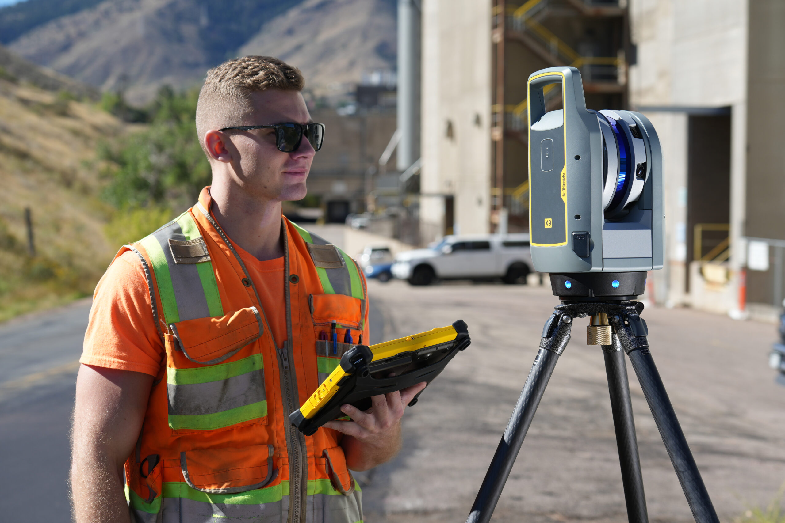
Misalignment should be calibrated regularly on all systems and can be checked and improved continuously by as a pre-step to strip adjustment and fluctuating correction in TerraMatch. Data can even be collected on a specific calibration site which results in a point cloud dedicated for the calibration task. If the system includes several laser scanners, the calibration involves scanner-to-scanner matching.
Fuse point clouds from different sources
TerraMatch can be used for fusing point clouds from different data sources. Airborne and mobile point clouds may overlap and TerraMatch offers tools for merging point clouds resulting in a seamless dataset for further usage.
The right version for your workflow
TerraMatch comes in Full and UAV versions, so you can be sure you're getting the right software for an efficient and effective workflow to make delivering project outcomes a breeze.

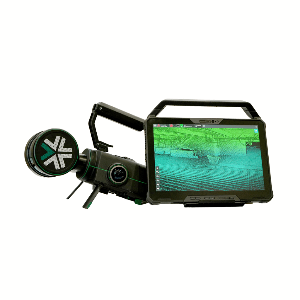
TerraMatch requires TerraScan - the industry standard point cloud processing tool
DISCOVER TERRASCAN