Utilities
With deep knowledge of industry specifications such as PAS128 and HSG47, KOREC is uniquely placed to meet the challenges of this complex industry.


With deep knowledge of industry specifications such as PAS128 and HSG47, KOREC is uniquely placed to meet the challenges of this complex industry.
Explore our top-rated utilities equipment, chosen by professionals for its precision, reliability, and performance in the field.
Capture reality in minutes and get the job done right, first time.
How we can help
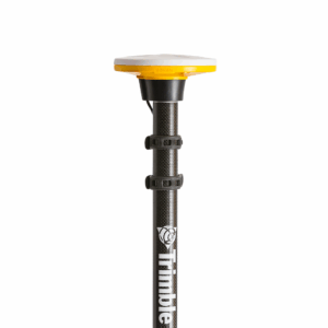
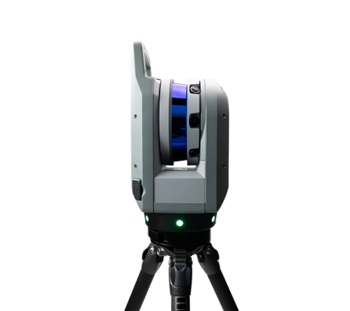
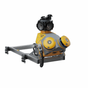
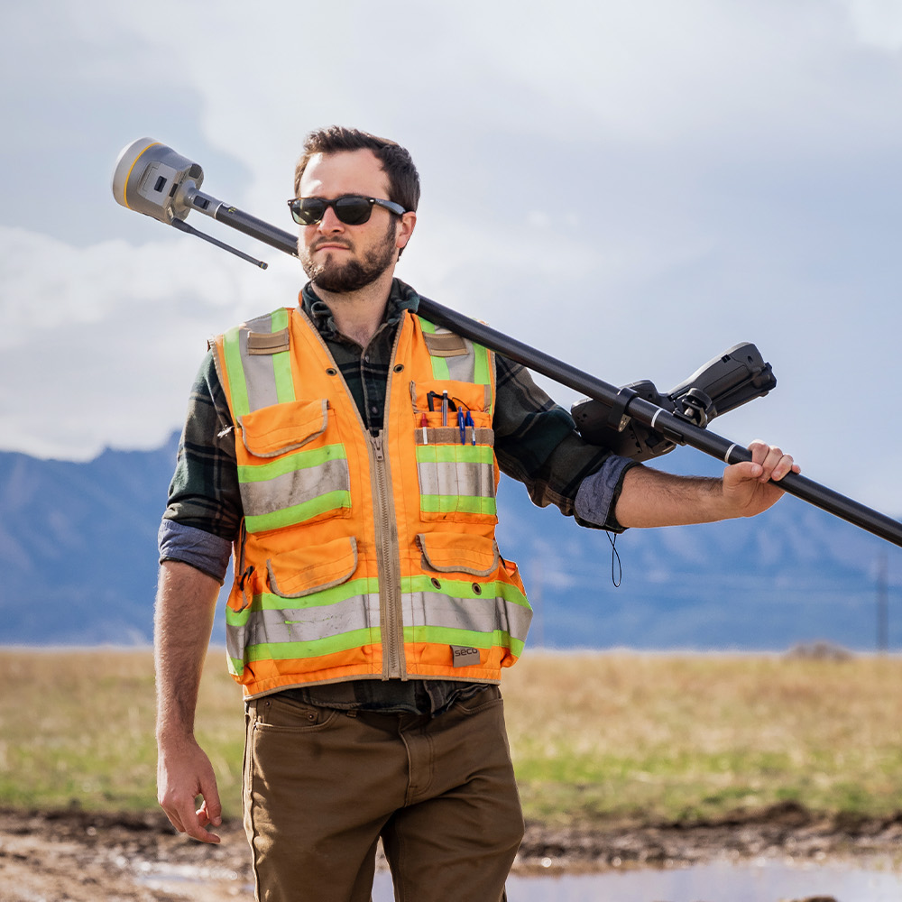
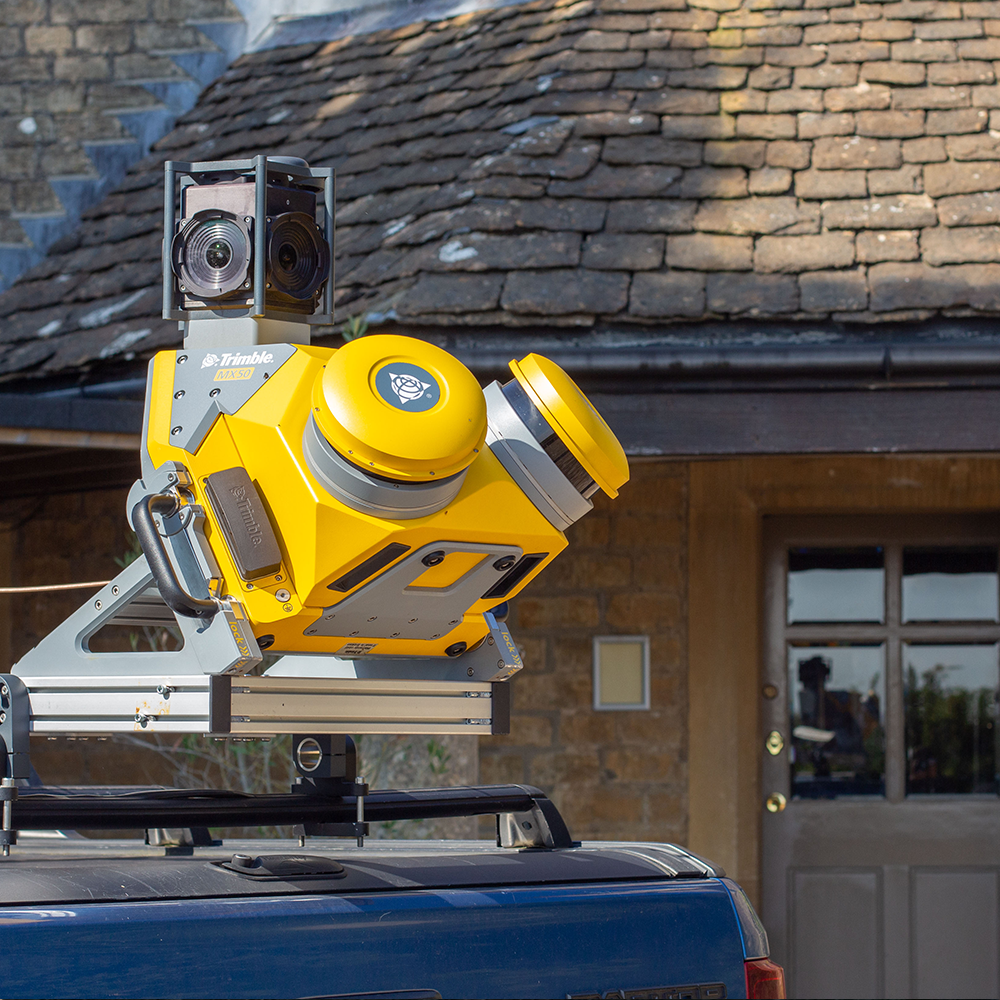
The KOREC portfolio for utilities includes drones, GNSS receivers, total stations, mobile mapping systems, laser scanners and industry specific field data capture software. Additionally, Trimble GNSS receivers and total stations are fully compatible with the leading utility locators and Ground Penetrating Radar (GPR) systems.
KOREC is one of Europe’s largest Trimble distributors and we also partner with drone and Cable Avoidance Tool (CAT) providers including DJI, Wingtra and Radiodetection. We combine the latest technology with real-world application expertise to transform your utilities projects.
With KOREC supplied solutions including Trimble hardware and Soarvo software, asset owners can ensure their records are digitised to be compliant with MUDDI and also customised for in-house requirements. This data can then be shared easily with NUAR and other GIS platforms such as Esri’s suite.
Feasibility surveys and inspections can be carried out using Trimble Mobile Mapping systems and drones from DJI and Wingtra for cost-effective, sub-centimetre mapping of large areas, high-quality photographs and thermal imagery.
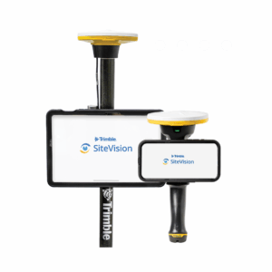
Augmented reality solutions such as Trimble SiteVision can be used for stakeholder and public visualisation of projects during feasibility and planning stages. The supply chain can also visualise accurate locations of your assets in the field.
Related product categories
Use KOREC software for accessing digitised records in the NUAR database as part of your desk-top study. Use this study to enable site reconnaissance, add photographs and commentary.
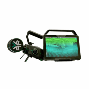
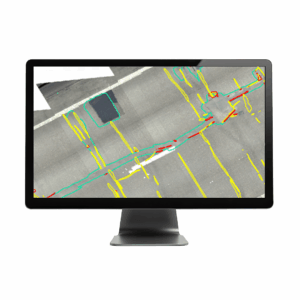
For accurate detection and mapping, use industry leading CAT and GPR systems paired with Trimble hardware and office solutions to produce deliverables.
KOREC solutions empower you to comply with the requirements outlined in PAS128.
Related product categories
Whether you are working with pipelines, telecommunications & fibre optics, transmission & distribution or wastewater, KOREC technology enables exact setting out of position and depth with real-time data shared by field and office. This reduces the risk of costly errors and miscommunication by delivering the precise information needed for compliance.
Related product categories
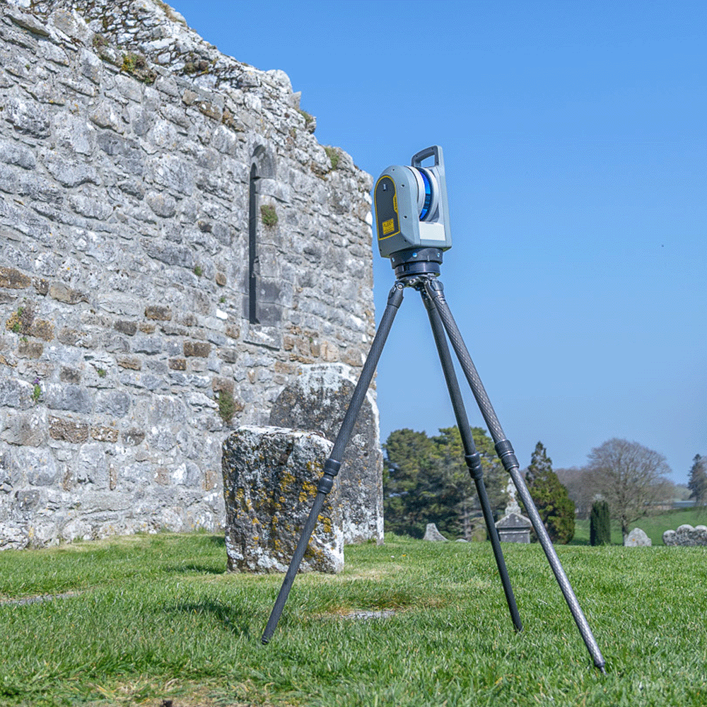
Laser scanning, mobile mapping, drone inspections and monitoring help utilities manage assets over the long term. These tools make it possible to track corridor condition, spot encroachment and measure movement or structural change with both ease and accuracy. Combined with cloud-based sharing and reporting, maintenance workflows can be streamlined and shown to demonstrate compliance with regulations such as MUDDI and HSG47.
Related product categories