Surveying

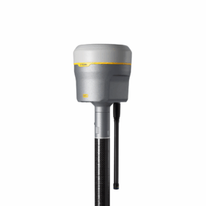
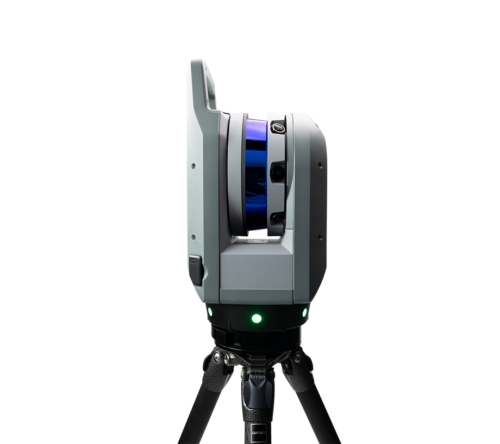
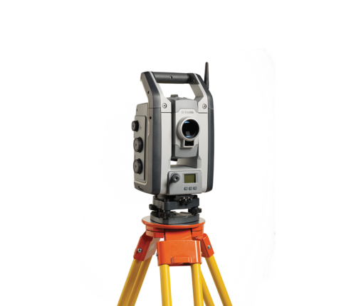
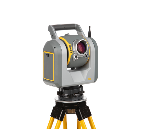
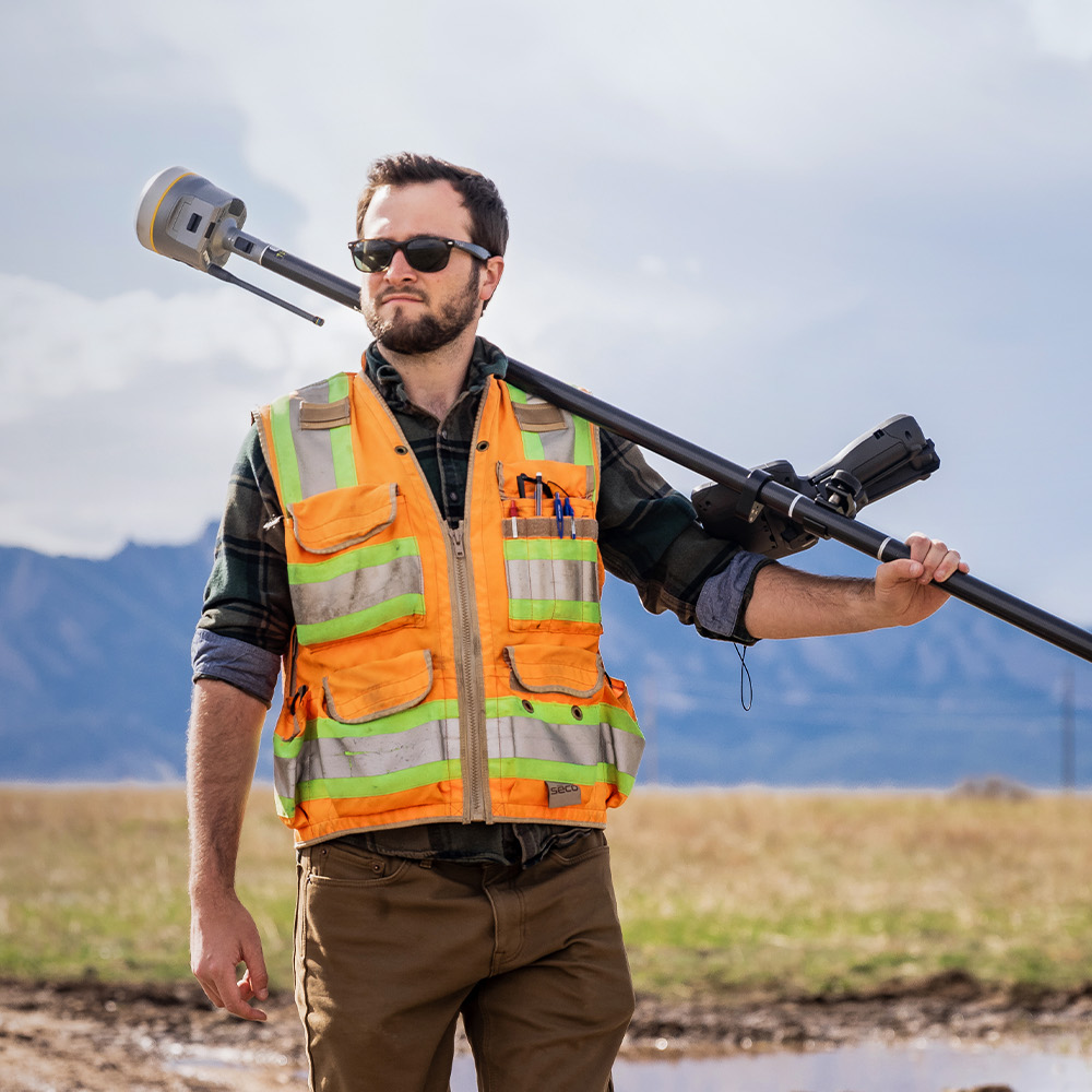
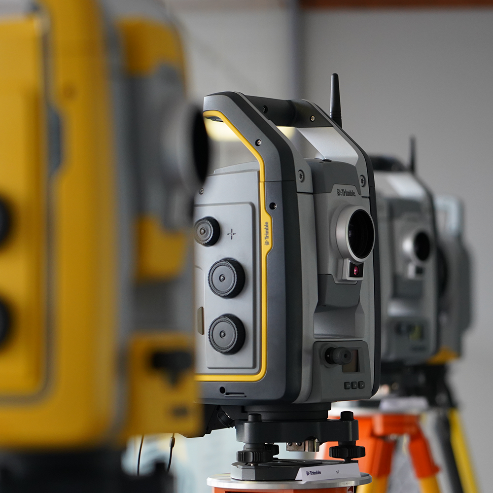
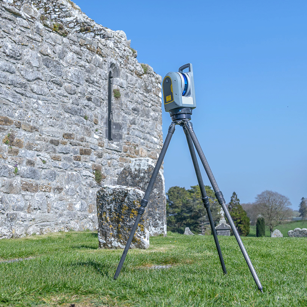
From high-precision Trimble GNSS receivers and 3D Laser Scanners to advanced weather-proof total stations and data processing software, KOREC offers a range of robust solutions, ready to meet the unique challenges of any land surveying project.

PRODUCTS
Hero Block
Hero Block Mobile

How we can help

At KOREC, we’re more than just a provider of best-in-class surveying hardware – we’re dedicated partners to the surveying community. We understand the challenges you face in the field and the precision your work demands. That’s why our commitment to you goes beyond simply selling equipment.

The KOREC team is made up of highly experienced land surveyors with extensive experience, backed up by Trimble system training across all land survey practices, from topographical surveys to setting out and as-built surveys.

Unwavering Support for Surveyors

We pride ourselves on offering unparalleled support that empowers surveyors to maximise productivity and achieve exceptional results. From comprehensive training resources to responsive technical assistance, we’re always ready to help. We believe that when you choose KOREC you’re choosing a partner invested in your success.

Solving Real-World Problems

Surveying isn’t without its hurdles, and we’re passionate about solving real-world problems for our clients. Our deep understanding of the industry allows us to work out new, more efficient workflows, to solve your unique challenges. Whether it’s optimising data collection, enhancing accuracy in difficult environments, or streamlining post-processing, our surveying solutions are designed to help you stay competitive and efficient.


Topographic & Land Surveys

Accurate topographic and land surveys provide the foundation for planning, design and development projects. Using Trimble GNSS and total stations means you can produce detailed drawings and elevation models faster and easier than ever before. This data helps developers and engineers understand site constraints, design with precision, and minimise future risk. From greenfield developments to complex urban sites, the high-quality survey data Trimble provides ensures planning applications, designs, and earthworks are based on reliable information, saving time and costs later in the project lifecycle.

KOREC is proud to be a key partner to the survey industry for over 20 years. We’re always on hand to help surveyors discover new, innovative ways of working, and to support you throughout the whole project.

Construction & Engineering

High-precision surveying underpins every stage of construction, from setting out to monitoring progress and verifying that as-built conditions match design specs. With GNSS, robotic total stations and laser scanning from Trimble, surveyors can deliver millimetre-level accuracy, ultimately reducing rework and delays.

The Trimble connected construction ecosystem means 3D models and digital data integrate seamlessly with BIM and design tools, giving project teams the confidence to make informed decisions, confidence in versioning, and keep builds on schedule and within budget.

Mining & Quarrying

Accurate surveying and mapping are essential for safe, efficient mining and quarrying operations. Using drones, GNSS, laser scanning, and total stations, surveyors can quickly capture terrain, automatically calculate stockpile volumes, and estimate excavation progress with exceptional accuracy. Digital elevation models and 3D mapping support planning, extraction, and compliance reporting, whilst regular monitoring helps track site changes and ensure safety standards are met. This makes it easy to manage resources and optimise workflows, reducing operational costs and improving decision-making across every stage of a project.

Measured Building & BIM

Measured building surveys provide the foundation for accurate design, refurbishment, and facilities management. Using laser scanners, total stations and drones, surveyors can capture precise 2D and 3D data to create floor plans, elevations, and detailed Building Information Models (BIM). These digital models support architects, engineers, and contractors throughout a building’s lifecycle, enabling clash detection, accurate cost planning, and streamlined construction or refurbishment. High-resolution surveys also help identify structural issues and ensure every project phase is based on reliable, co-ordinated information.