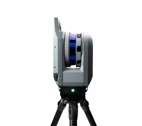
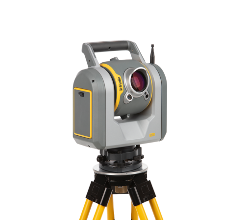
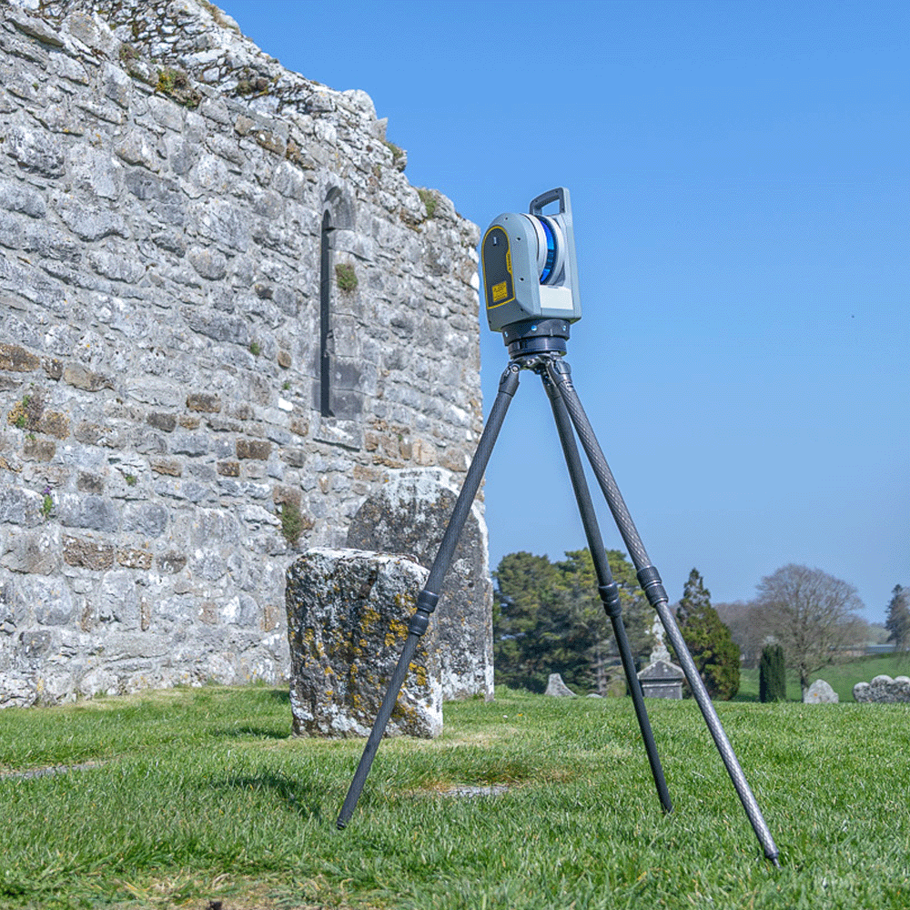
Accurate topographic and land surveys provide the foundation for planning, design and development projects. Using Trimble GNSS and total stations means you can produce detailed drawings and elevation models faster and easier than ever before. This data helps developers and engineers understand site constraints, design with precision, and minimise future risk. From greenfield developments to complex urban sites, the high-quality survey data Trimble provides ensures planning applications, designs, and earthworks are based on reliable information, saving time and costs later in the project lifecycle.
KOREC is proud to be a key partner to the survey industry for over 20 years. We’re always on hand to help surveyors discover new, innovative ways of working, and to support you throughout the whole project.