Mapping & GIS

At KOREC, we believe embracing geospatial technology will transform your outcomes. We bring together market-leading hardware with purpose-driven software to provide powerful, efficient workflows across a range of application areas and industry sectors.

PRODUCTS
Hero Block
Hero Block Mobile

How we can help

Do you manage land or assets under or above the ground? KOREC mapping has a solution to make your projects efficient, effective, streamlined and sharable. Improve your data quality, make reporting easier, and streamline stakeholder engagement.


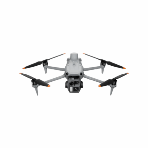
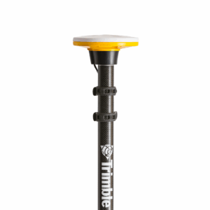
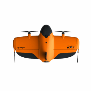
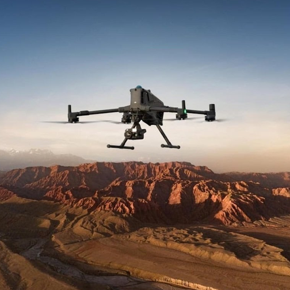
As official distributors of leading brands, including Trimble, DJI, Wingtra, AgEagle, Pix4D, and Soarvo, we have the in-house expertise to help you master every nuance. Talk to us to discover how easy it can be to bring mapping and GIS capabilities into your organisation. With KOREC, you get an end-to-end service, including workflows, UAVs, data controllers, GCP hardware, GIS software, cloud sharing platforms, training, support and more.

We’re committed to solving your mapping and GIS problems, and being on-hand for support to help you through your journey. So whether you need in-depth hardware training, strategic guidance on integrating systems with your existing workflows, or just a one-off question, our seasoned team is here for you throughout the whole project lifecycle.

Environmental & Land Management

Mapping and GIS solutions empower effective environmental management, enabling organisations to monitor, manage and protect precious assets. KOREC help you take a data-driven approach to nature reserves, national parks, SSSIs, animal sanctuaries, large estates and heritage sites. By combining drone technology with industry-leading software, accurate GNSS, and AI enhancement, we make it easy to map, manage and monitor habitats and estates.

Examples include identification of at-risk habitats such as peat bogs, monitoring reforestation, accurate location tagging for predator and pest control, large area drone mapping for golf course maintenance, thermal imaging for species identification and much more.

Utilities Asset Management

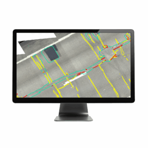
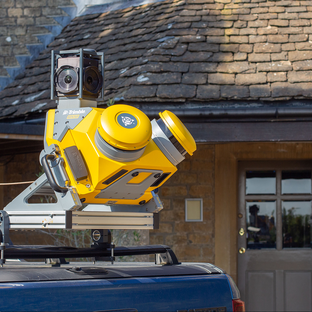
Efficiently manage, maintain and modernise utility assets, even when working with legacy asset databases. With increasing regulatory demands for accuracy and detail, KOREC make it easy to undertake new installations, routine maintenance, and system renewals with precise GNSS, accurate 3D and GPR scanning, augmented reality visualisation, and easy cloud-based data sharing.

Create exact digital as-built records of your underground infrastructure, with the digital records captured in the field and updated seamlessly, ensuring asset information is always current and easy to share across teams and stakeholders. By combining historic records with new data, you can improve data quality, consistency, and visibility—streamlining your entire workflow, ultimately making asset management more efficient than ever.

Event Management

Streamline event planning and site setup for everything from local fairs and fetes, to festivals, and multi-day outdoor events. Using tools like Trimble Catalyst and drone-based mapping, organisers can quickly and accurately set out fencing, barriers, stages, car parks and other infrastructure, without relying on slow, imprecise methods like walk wheels.

Digital site plans make it easy to visualise layouts, optimise crowd flow, comply with safety and accessibility regulations, and coordinate with contractors and stakeholders. With real-time positioning and the ability to capture and update site data on the fly, you can adapt to last-minute changes, avoid costly mistakes, and ensure your event runs smoothly from planning to teardown.

Archaeology & Heritage

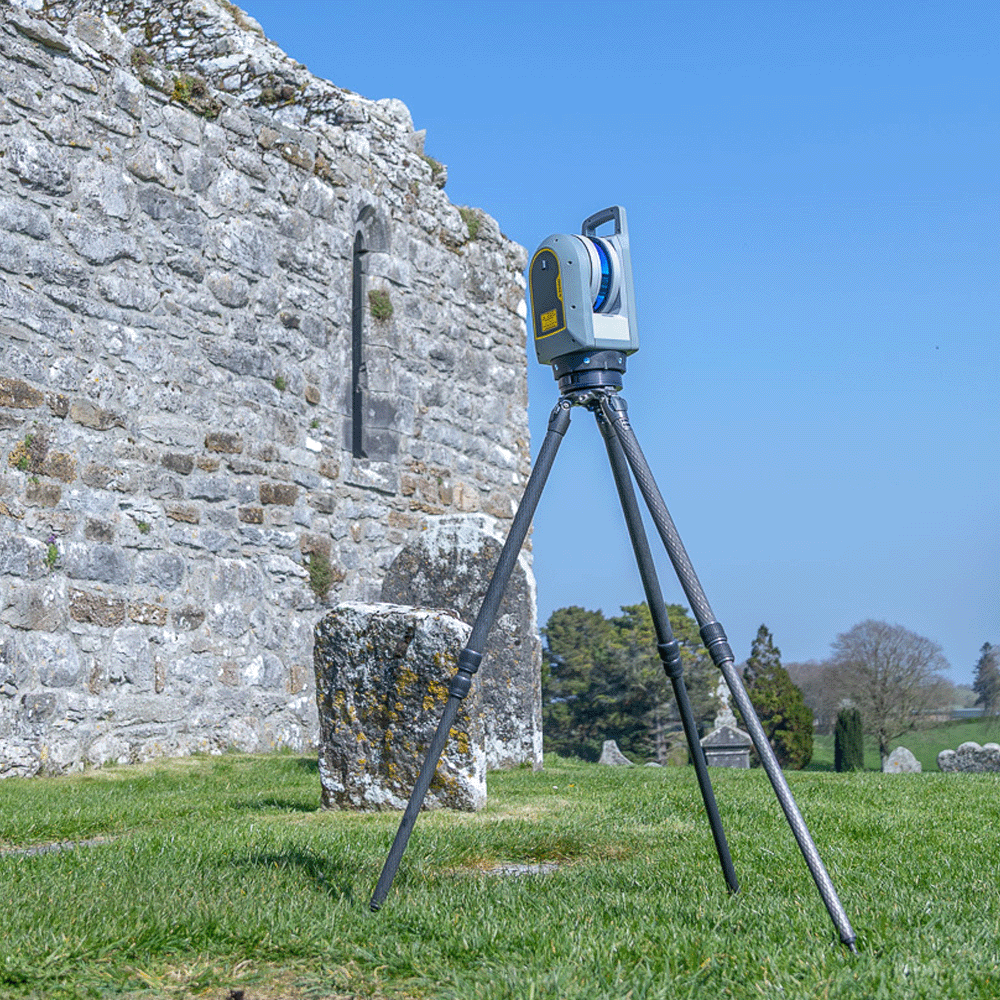
Simplify and support the conservation and management of archaeological and heritage sites with highly accurate, accessible data. Using drones, laser scanners and ground-penetrating radar, we help you capture everything from aerial imagery to detailed 3D models of historic buildings, landscapes, and excavation sites. These tools make it easy to plan and manage digs, record finds with precise geolocation, and create permanent digital archives that can be shared with researchers, conservationists, and stakeholders. With high-resolution data and 3D visualisations, heritage professionals can monitor site conditions, track changes over time, and make informed decisions about preservation and public engagement, all while reducing the risk of site disturbance.

Hero Block