Delivering spatial understanding for all
Growing a business through clarity: How Image Surveys used Soarvo, a cloud-based 3D geospatial platform, to make 3D drone data interactive and easy to share for all of an events management team.


Growing a business through clarity: How Image Surveys used Soarvo, a cloud-based 3D geospatial platform, to make 3D drone data interactive and easy to share for all of an events management team.
Download our formatted PDF of the story here
The popular seaside town of Southport is famous for many attractions including its stunning Victorian architecture and vast beaches as well as being home to the largest independent Flower Show in the UK hosted in the town’s Victoria Park. The park is privately managed, leased from the local authority and managed by Southport Flower Show who are a registered charity.
The park is self-financing based on revenue raised from a number of large events during the year run by 3rd parties hiring the venue assisted by the Southport Flower Show events team and include concerts, motor shows, caravan rallies and comedy festivals. However, the largest event and the one run by the venue team itself is Southport Flower Show, which has run since 1924 and attracts around 50,000 visitors each year. The show brings together many attractions and 300+ traders.
With no other sources of income or grants, the charity relies entirely on delivering excellent planning and organisation for both exhibitors and visitors. Initially, they felt that updating their old 2D plans would provide all the information they needed to do this, albeit in a fairly standard, architect-style format.
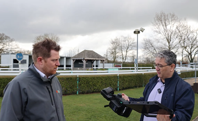
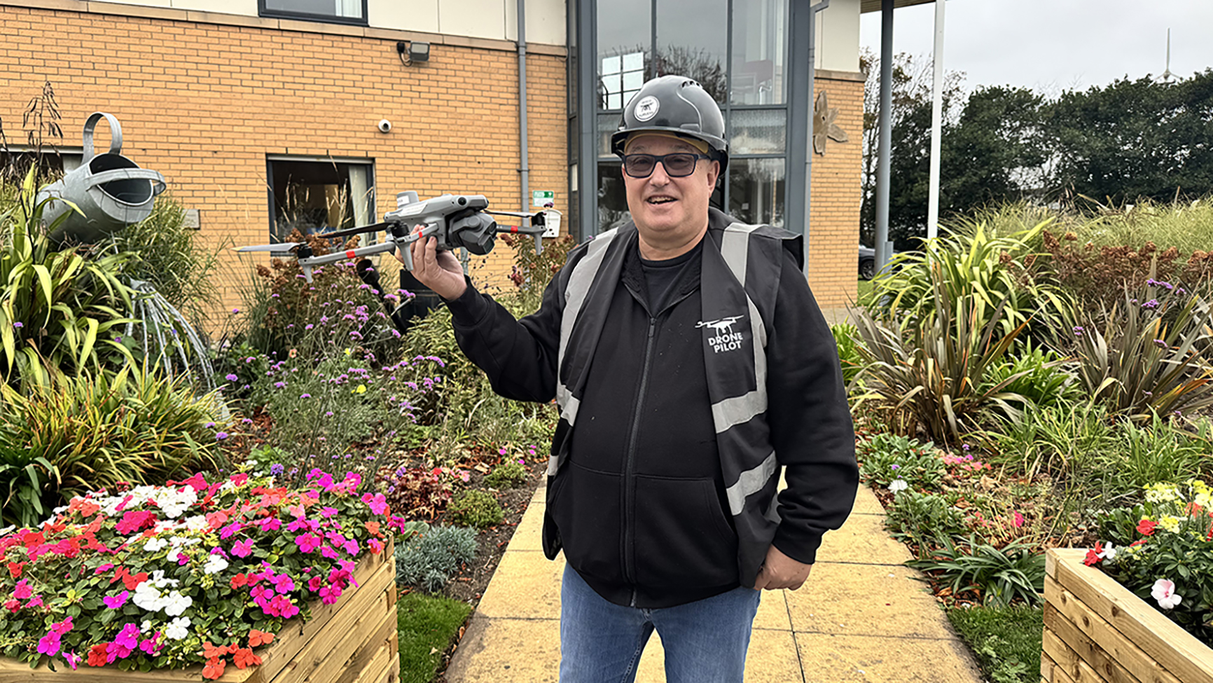
They therefore approached local company Image Surveys, specialists in drone surveys, precise 2D & 3D mapping and aerial photography. The company is owned by Director Mark Carr, who launched it in 2023 following an accomplished career in photography.
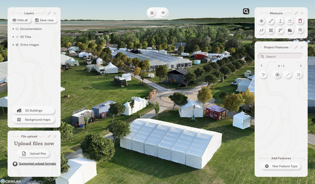
Accustomed to working in a highly visual environment, Mark believed that a traditional 2D drawing would only tell part of the story – it could show where assets were located but not the form or scale of each feature. Using 3D data, the Southport Flower Show team would gain a far more realistic and measurable view of the site and be able to capture the height and shape of all assets, such as marquees, along with other vital planning information for third parties.
Mark mapped the site using a DJI Matrice 4E, a professional drone optimised for geospatial and visual inspection tasks. However, from previous projects, he knew that the real value of the captured data lay in how clients could interact with it and securely share it with other chosen stakeholders.
He therefore carefully researched all the data-sharing software available in the UK, with several key aims in mind:
As part of his research, Mark contacted KOREC, the UK distributor for Soarvo, a cloud-based 3D geospatial data visualisation platform, and following a period of testing invested in the software.
“The KOREC team was extremely responsive from the off and clearly understood my requirements. I’m a relatively new business so my research was very extensive, looking at maybe 20-30 software options, but whether they cost £1,500 or £4,500, nothing quite fitted until now – Soarvo definitely hit the sweet spot.”
The Southport Flower Show was successfully staged in August, and Mark reports that the organisers were delighted with the additional benefits delivered by the 3D data.
Having originally expected a standard 2D map, the team found that the interactive 3D environment in Soarvo enabled them to plan more effectively for the ten-plus large marquees, assess access points, better understand site drainage and also create visually engaging marketing content to attract visitors.
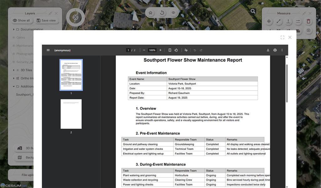
The standout feature, both for this project and for future work with Image Surveys, has been the ability to upload additional information directly to specific points or features. This includes documents such as price lists, delineated zones, and relevant contact information for contractors.
Mark notes that other clients, such as a busy and entrepreneurial farmer, have also found this feature invaluable. It allows him to save significant time and provides quick, centralised access to everything he needs to manage his diverse business interests from sheep farming and renewable energy to holiday lets and fishing rights. He concludes:
“When I show a client the map data in Soarvo, especially its clarity and the way they can interact with it, their response is simply, ‘wow!’ They don’t need to subscribe or sign up to anything complicated, which can often be a red flag for clients. It means they can immediately see the added value I bring. Soarvo has been a game changer and it will be key to helping me win new business and retain existing clients.”
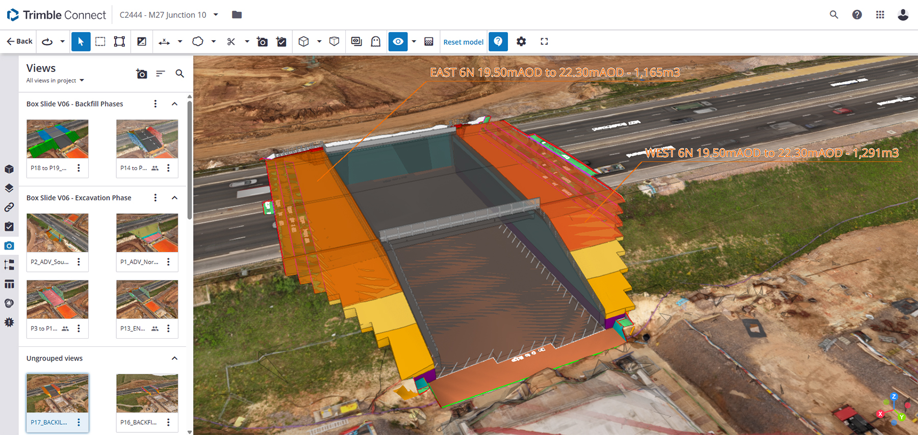
Soarvo is a cloud-based 3D geospatial data visualisation platform that offers advanced solutions for surveyors, drone operators, and mapping specialists.
It simplifies the process of data gathering, visualisation, analysis, and sharing, helping professionals work more efficiently with real-time insights and improved accuracy.
Contact us for a demo