Get your high-quality, reliable LIDAR data more efficiently and easier than ever before with this best in class solution.

Versatile
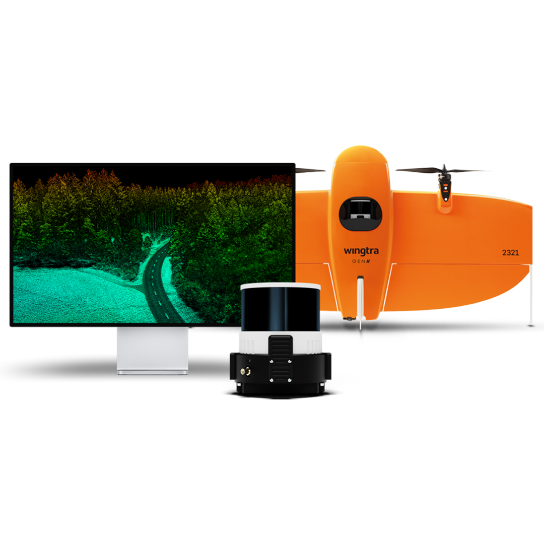
From construction to forestry, Wingtra LIDAR provides accurate insights to support complex, real-world applications.
Simplified workflow
Wingtra LIDAR offers minimal setup time and full compatibility with 3rd party analysis tools.
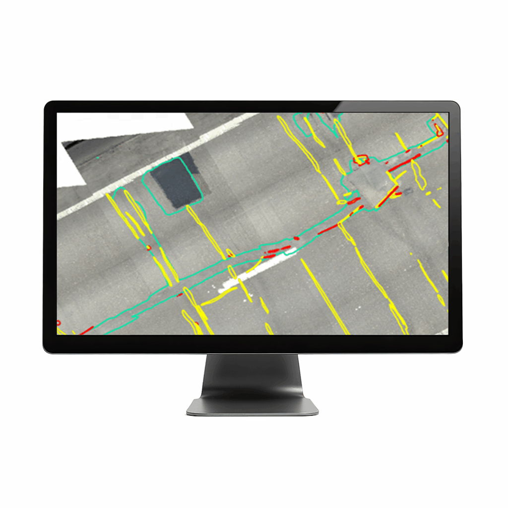
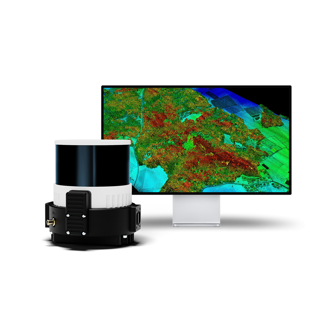
Efficency , 5 Returns, colourised point cloud, RTK, Process in dji terra
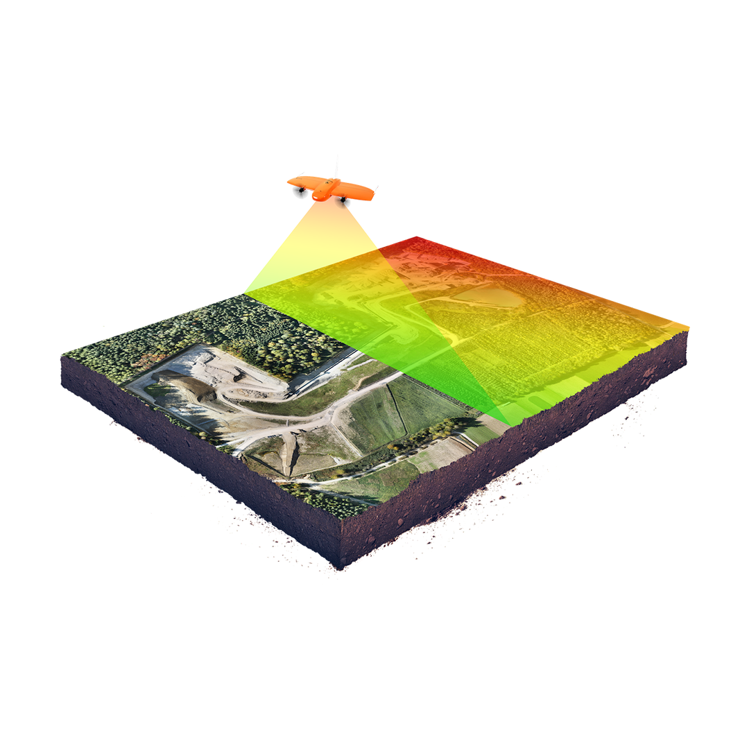
Cover significantly more ground in one flight or finish smaller projects faster. More penetration, accuracy, lower cost processing software, easier clasification with RGB
Decisive decision making
Based on high quality reliable data thanks to best-in-class components and an optimized 3-return system for robust vegetation penetration.
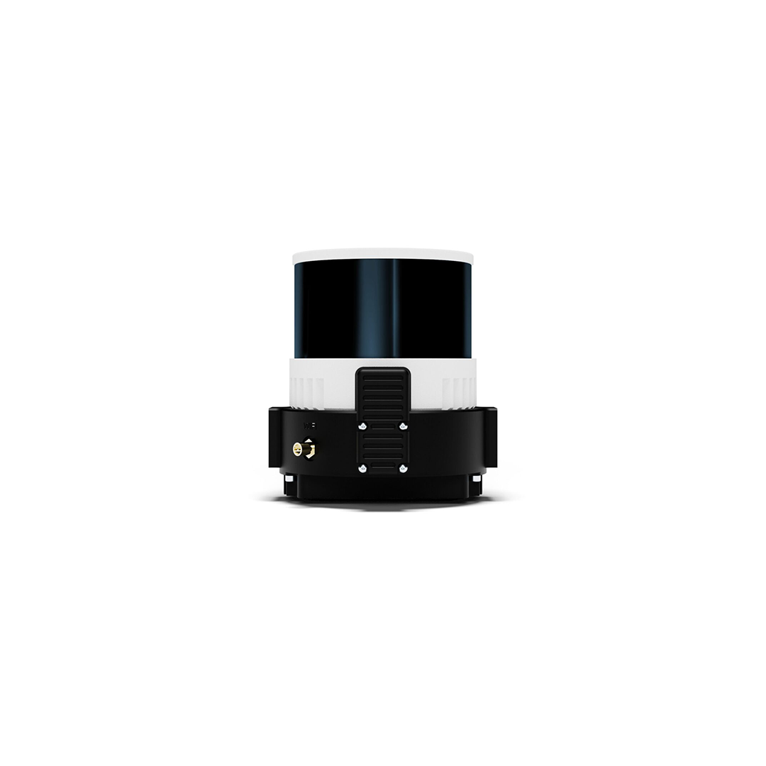
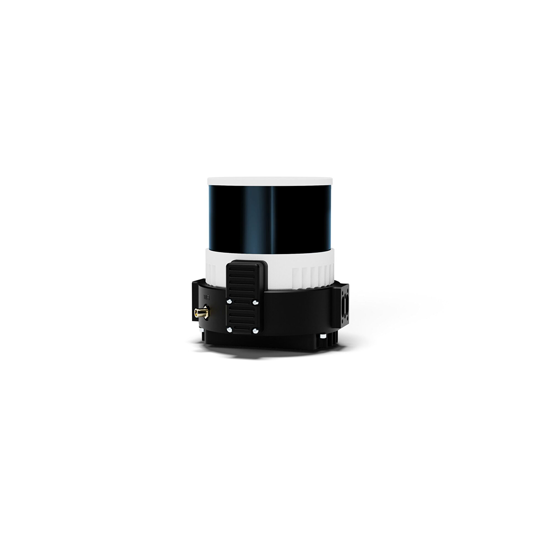
Combining a top-tier Hesai scanner, Inertial Labs IMU and NovAtel GNSS, Wingtra LIDAR cuts out time-intensive extra post-processing strip alignment work and delivers precise terrain information right away from each hyper-efficient flight.
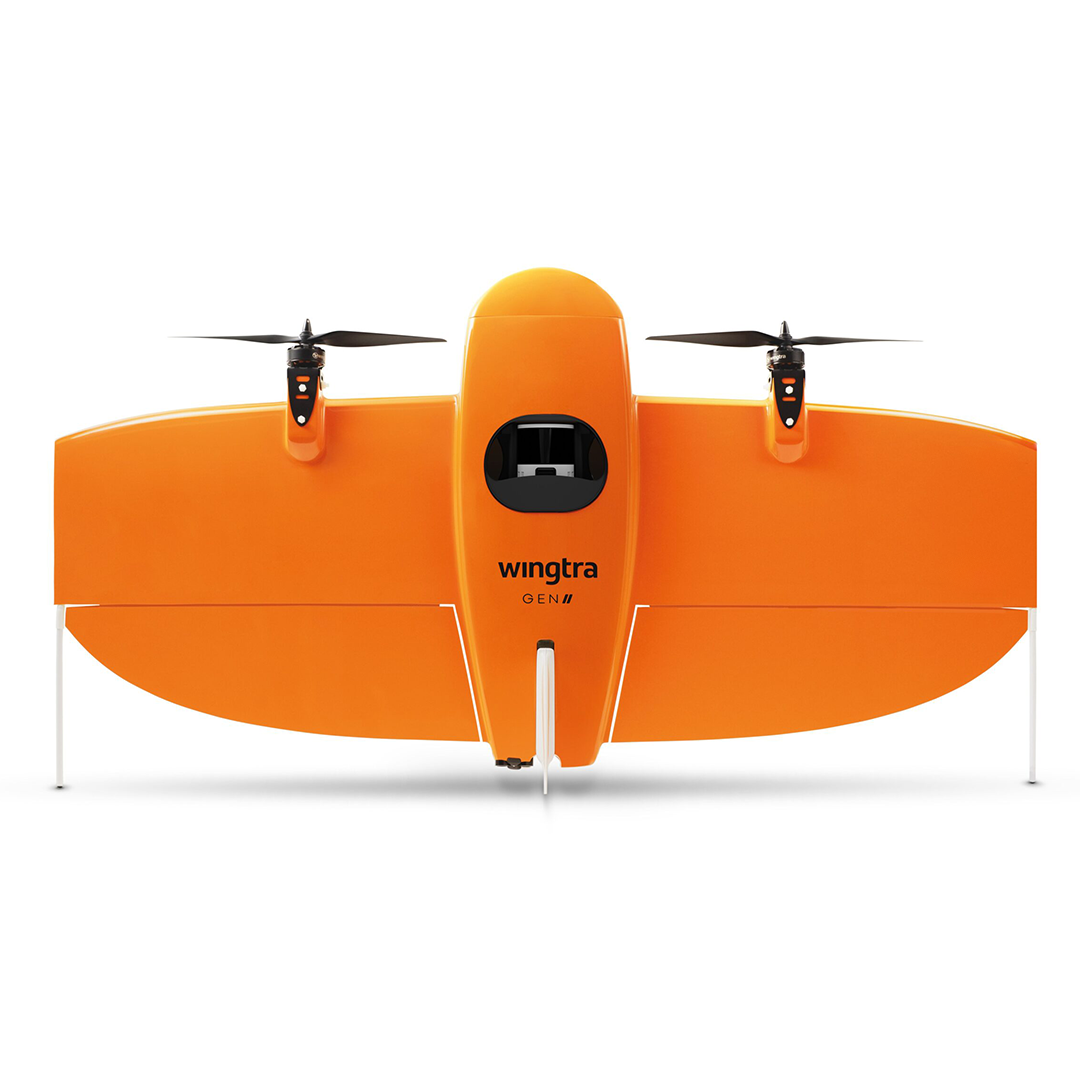
• Payload Weight (with mount): ~1,030 g
- Laser Scanner: Hesai XT32 M2X rotating sensor with 90° horizontal × 40.3° vertical FOV; Class 1 (905 nm)
- Point Density (@90 m AGL, 50 % overlap): ~110 pt/m² (hard), 220 pt/m² (low veg), 330 pt/m² (high veg)
- Coverage Area (@90 m AGL, 30 % overlap): Up to ~360 ha (890 acres) per flight
- Vertical Accuracy: ~3 cm (RMS) at 90 m altitude
- Pulse Rate: 640 kpps (1 return), 1.28 Mpps (2 return), 1.92 Mpps (3 return)
- IMU & GNSS: Inertial Labs tactical-grade IMU P + NovAtel OEM7500 multi GNSS with ~0.5 cm PPK accuracy
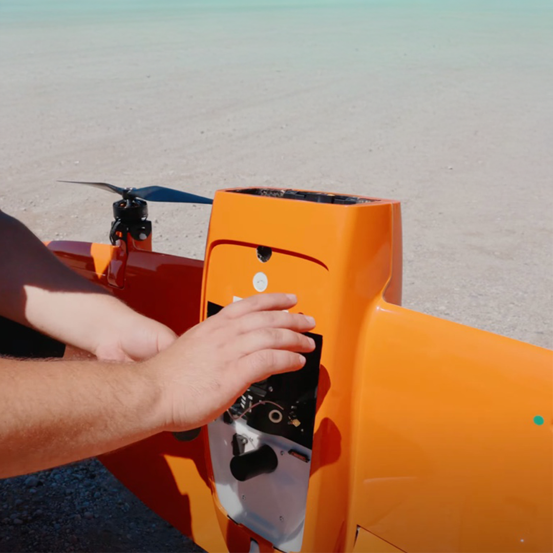
- Quick Initialisation: One-minute ready-to-fly setup with no calibration required