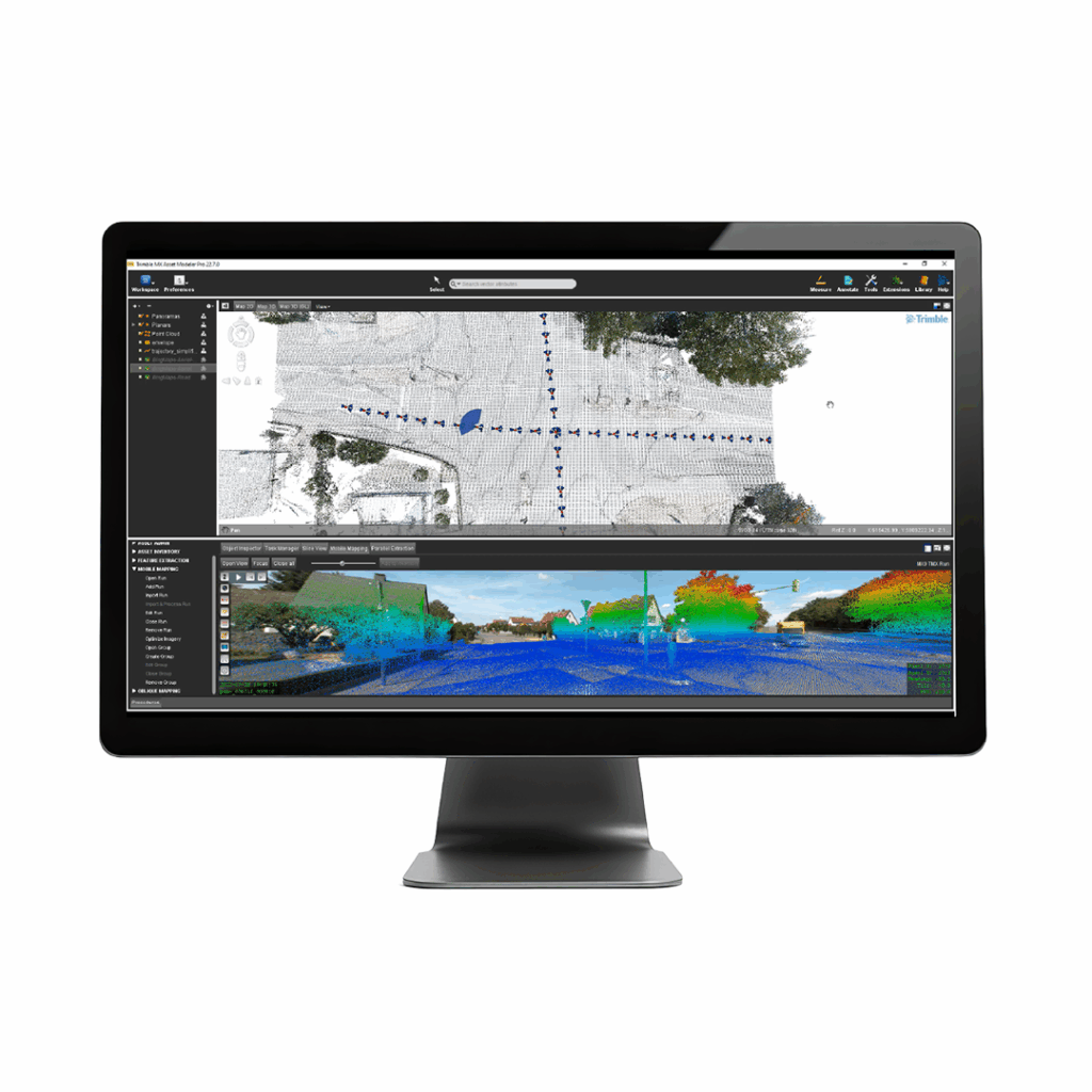
Trimble Business Center Mobile Mapping
£POA
PRODUCT ENQUIRY
Process your Trimble MX data into dense point clouds and high-quality image deliverables
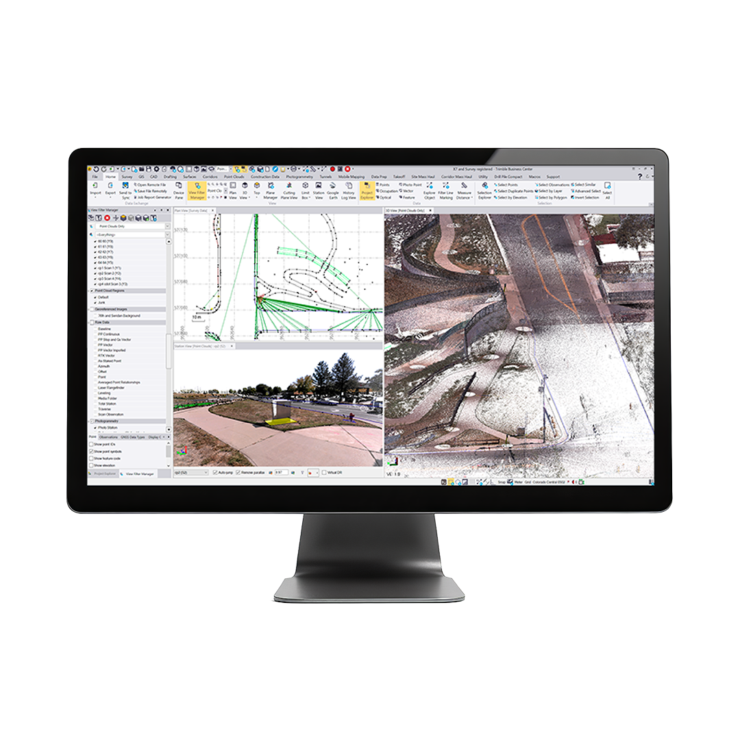
With Trimble Business Center (TBC) mobile mapping office software, combine raw field positions, point cloud scans and multiple camera positions into the highest quality, most actionable information—in a single software.

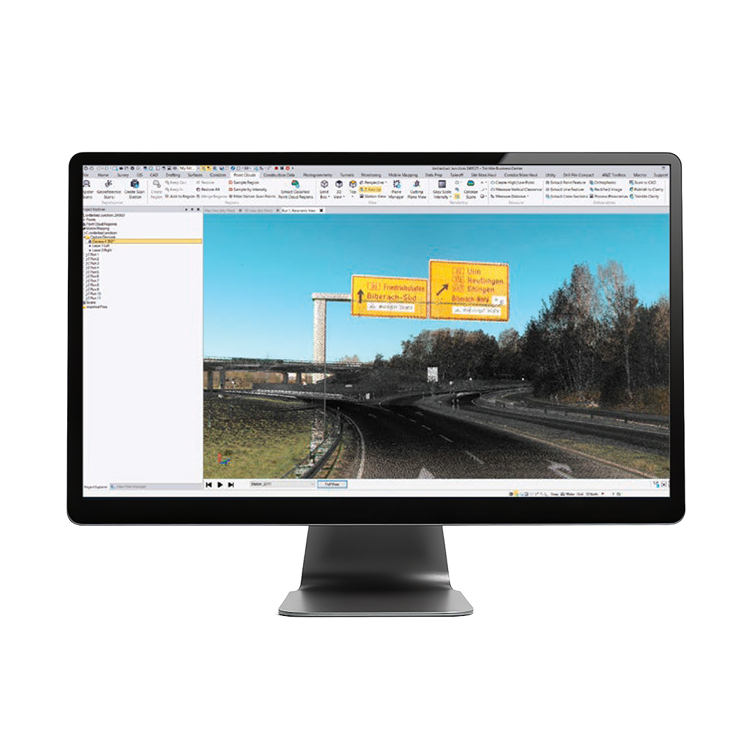
Process & deliver with TBC
With integrated Applanix POSPac trajectory adjustments and batch processing, move from raw data to deliverables quickly with efficient steps.
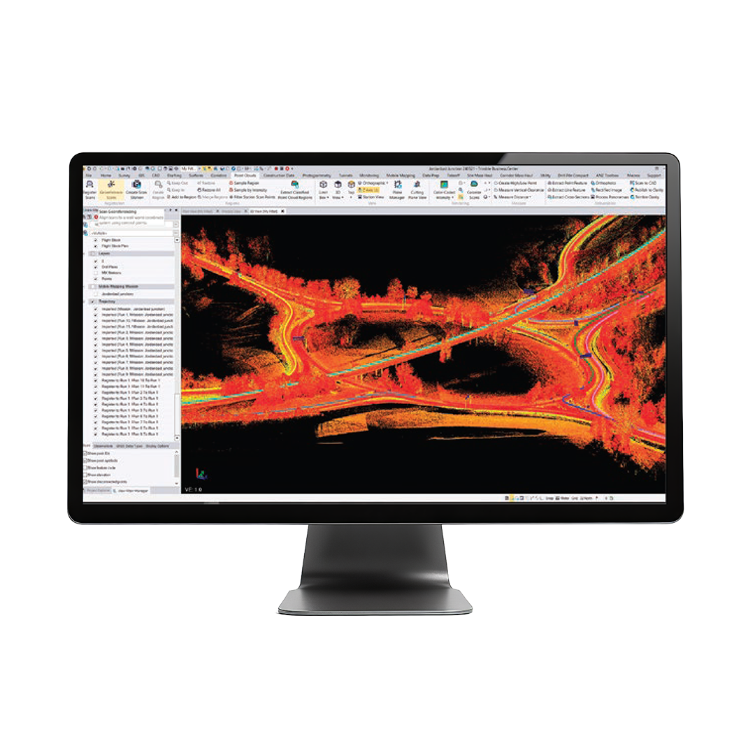
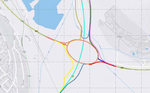
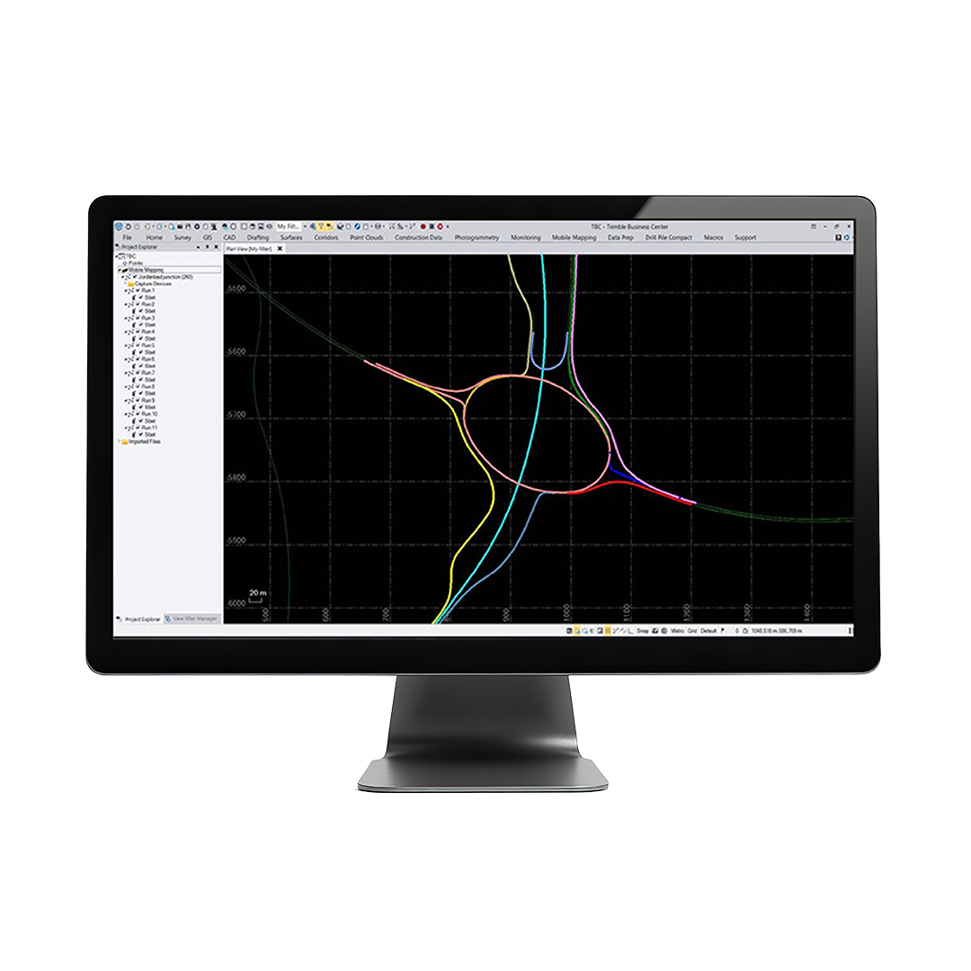
Flexible, powerful registration
Leverage intuitive ground control picking tools and multiple-run registation options to ensure both precise and accurate point cloud and image information.
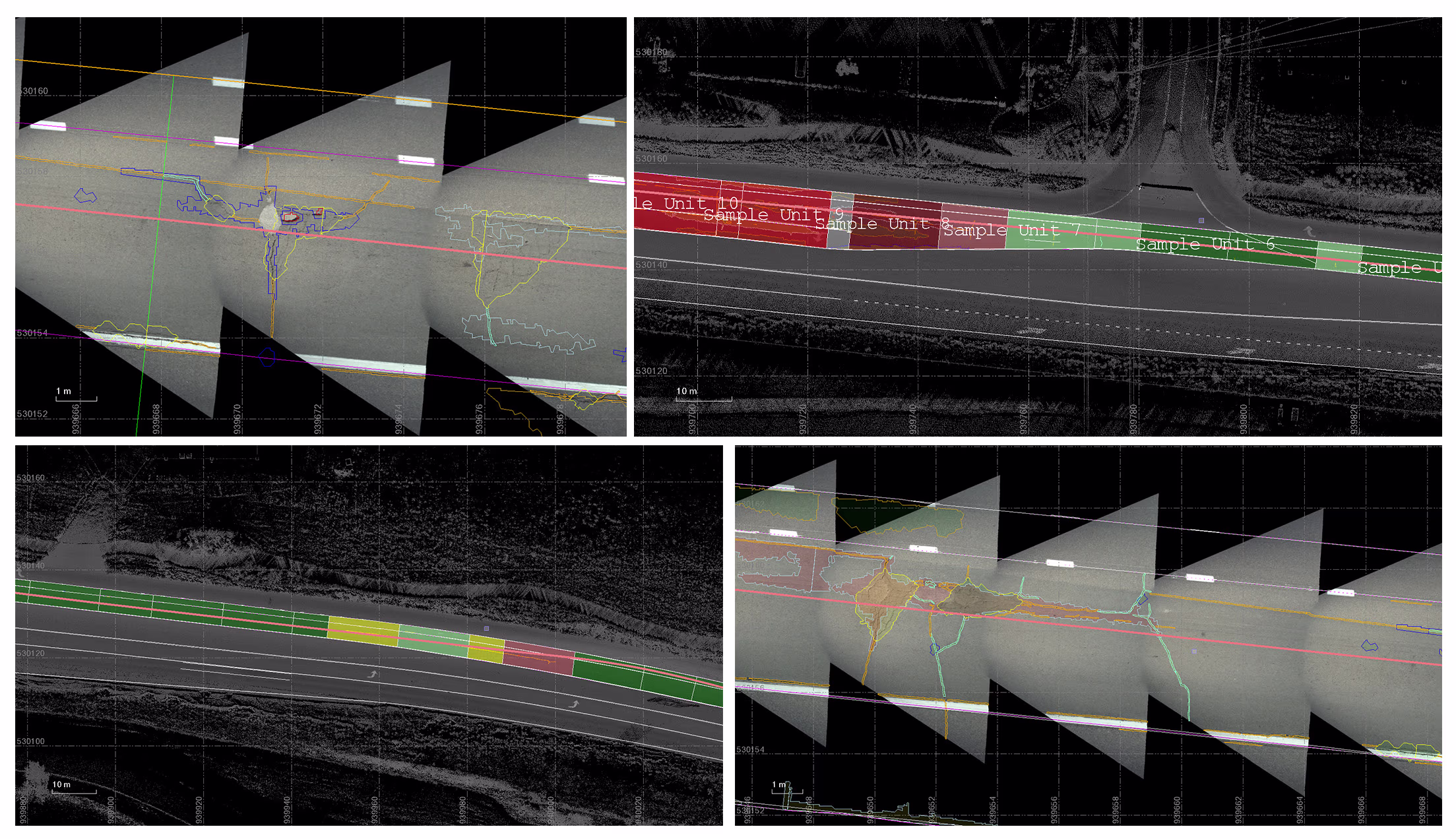
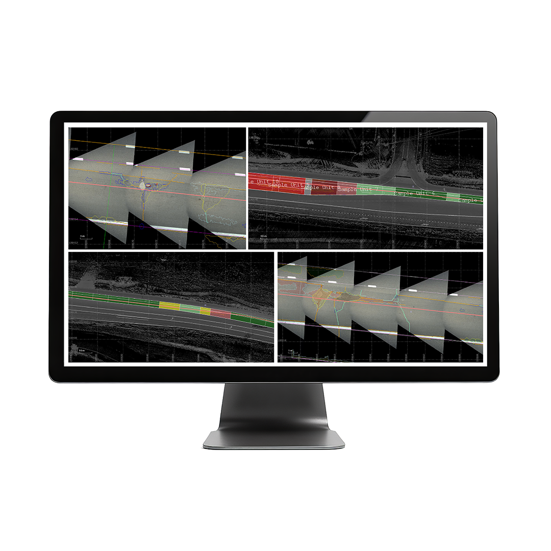
Robust client deliverables
Segment and classify your point clouds, automatically extract assets and attributes, create surfaces, corridor models and cross-sections and more.
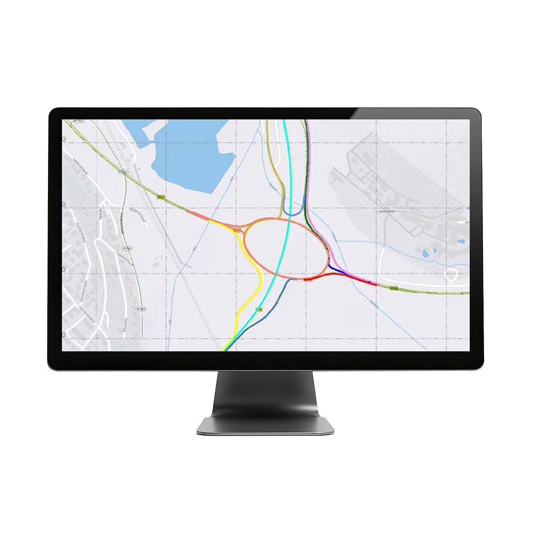
Present your best data
Deliver your mobile mapping data with dedicated thrid-party exports and GIS database connections, or use TBC's growing number of point cloud and image tools.
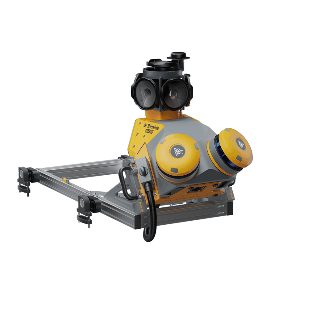
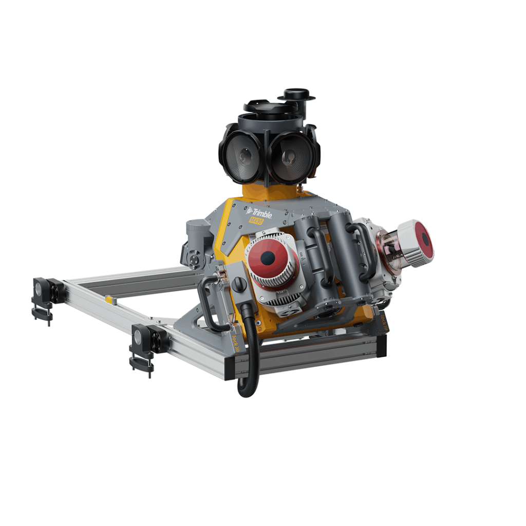
TBC Mobile Mapping software is all you need to process your Trimble MX data into dense point clouds and high-quality image deliverables. Use TBC’s point cloud classification and feature extraction tools or utilise CAD, triangulated surface and contour lines, blur images and more – within one software. Users can also connect their mobile mapping deliverables to GIS databases, Trimble MX software, or use TBC’s numerous dedicated third-party exports to take data further.
• Topography & existing conditions: Capture site features
- Roadway cross-sections & profiles: View & manipulate slopes
- Pavement inspection: Dense data for mitigation evaluation
- Asset inventory & management: Populate feature databases
- Utility line survey & inspection: Above-ground tracking & clearances
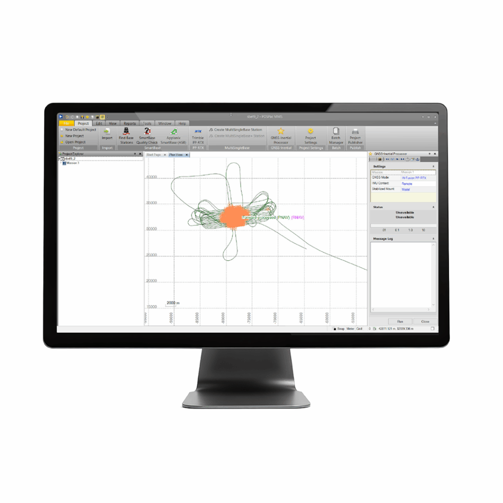
Applanix POSPac MMS
A start-to-finish workflow for direct georeferencing.