Let’s turn the clock back to 1999, a time when KOREC’s software development team was involved in developing a completely new concept… one that can best be described as a forerunner to the sophisticated vehicle mounted mobile mapping systems that we have today.
Yes, KOREC really has been involved since the inception of this industry which has seen massive growth over the last 20+ years.
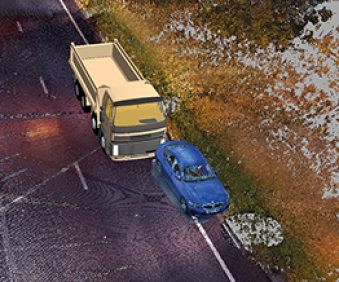
Mobile mapping enables the rapid collection of enormous amounts of highly accurate, geo-referenced spatial data for transformation into information-rich 3D models. It keeps surveyors safely away from roads and traffic and eliminates the need for traffic management – saving time and money.
Today the KOREC mobile mapping equipment portfolio includes the recently launched MX50 mobile mapping system, as well as the MX9 mobile mapping system.
The MX9 is available to KOREC customers either through purchase or as KOREC’s preferred system for undertaking large-scale scanning and mapping surveys on behalf of our clients through our services company, KOREC Professional Services.
